Coal Barton Plantation
Wood, Forest in Somerset Mendip
England
Coal Barton Plantation

Coal Barton Plantation is a picturesque woodland area located in Somerset, England. Covering a vast expanse, this plantation is known for its dense and diverse variety of trees, making it a haven for nature lovers and wildlife enthusiasts. The plantation is situated in close proximity to the village of Coal Barton, giving it its name.
The woodland of Coal Barton Plantation is primarily made up of deciduous trees, including oak, beech, and ash. These towering trees create a lush and green canopy that provides shade and shelter to a wide range of flora and fauna. Throughout the plantation, there are several well-maintained walking trails that allow visitors to explore the natural beauty of the area.
The plantation is also home to a variety of wildlife, making it an ideal spot for birdwatching and wildlife photography. Visitors may spot species such as woodpeckers, owls, and squirrels. The diverse range of plant life in the woodland also attracts a variety of butterflies and insects.
Coal Barton Plantation is open to the public, and visitors can enjoy picnicking or simply taking a leisurely stroll through the peaceful surroundings. The management of the plantation ensures that the area is well-maintained, with regular maintenance and conservation efforts to preserve the natural habitat.
Overall, Coal Barton Plantation offers a serene escape from the hustle and bustle of everyday life, providing a tranquil environment to reconnect with nature and appreciate the beauty of Somerset's woodlands.
If you have any feedback on the listing, please let us know in the comments section below.
Coal Barton Plantation Images
Images are sourced within 2km of 51.240351/-2.4580904 or Grid Reference ST6849. Thanks to Geograph Open Source API. All images are credited.


Coal Barton Plantation is located at Grid Ref: ST6849 (Lat: 51.240351, Lng: -2.4580904)
Administrative County: Somerset
District: Mendip
Police Authority: Avon and Somerset
What 3 Words
///toasters.vertical.shrugging. Near Chilcompton, Somerset
Nearby Locations
Related Wikis
Coleford, Somerset
Coleford is a village and civil parish in Somerset, England, situated on the Mells River in the Mendip Hills five miles west of Frome. The parish has a...
Holcombe, Somerset
Holcombe is a small village and civil parish (population 936) in the Mendip local government district of Somerset, England. The parish contains the hamlets...

Cook's Wood Quarry
Cook's Wood Quarry also known as Holcombe Quarry (grid reference ST669479) is a 0.8-hectare (2.0-acre) geological Site of Special Scientific Interest near...

Edford Woods and Meadows
Edford Woods and Meadows (grid reference ST665485) is a 54.3 hectare (134.1 acre) biological Site of Special Scientific Interest, between Nettlebridge...
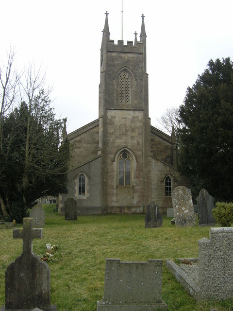
Church of St Andrew, Holcombe
The Church of St. Andrew close to Downside Abbey in Holcombe, Somerset, England has late Saxon-early Norman origins and was rebuilt in the 16th century...

Stoke Lane Slocker
Stoke Lane Slocker (grid reference ST66874745) is a cave near Stoke St Michael, in the Carboniferous Limestone of the Mendip Hills, in the English county...
St Dunstan's Well Catchment
St. Dunstan's Well Catchment (grid reference ST668475) is a Site of Special Scientific Interest, covering 39.8 hectares (98.3 acres) near Stoke St Michael...

Leigh-on-Mendip
Leigh-on-Mendip or Leigh upon Mendip (on Ordnance Survey maps) is a small village on the Mendip Hills in Somerset, England. It lies roughly equidistant...
Nearby Amenities
Located within 500m of 51.240351,-2.4580904Have you been to Coal Barton Plantation?
Leave your review of Coal Barton Plantation below (or comments, questions and feedback).