Pilleys Coppice

Wood, Forest in Dorset

England

Pilleys Coppice

Holwell Manor House Grade II* listed. "Country House, C16 with much rebuilding of 1889" <span class="nowrap"><a title="https://historicengland.org.uk/listing/the-list/list-entry/1118845?section=official-list-entry" rel="nofollow ugc noopener" href="https://historicengland.org.uk/listing/the-list/list-entry/1118845?section=official-list-entry">Link</a><img style="margin-left:2px;" alt="External link" title="External link - shift click to open in new window" src="https://s1.geograph.org.uk/img/external.png" width="10" height="10"/></span> . Seen past the entrance gate on Holwell Drove <a href="https://www.geograph.org.uk/photo/7564503">ST6810 : Holwell Drove</a>.
Holwell Manor House Credit: Derek Harper

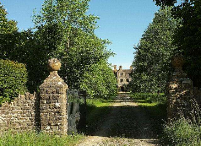
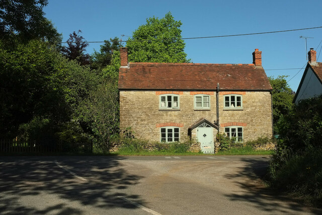
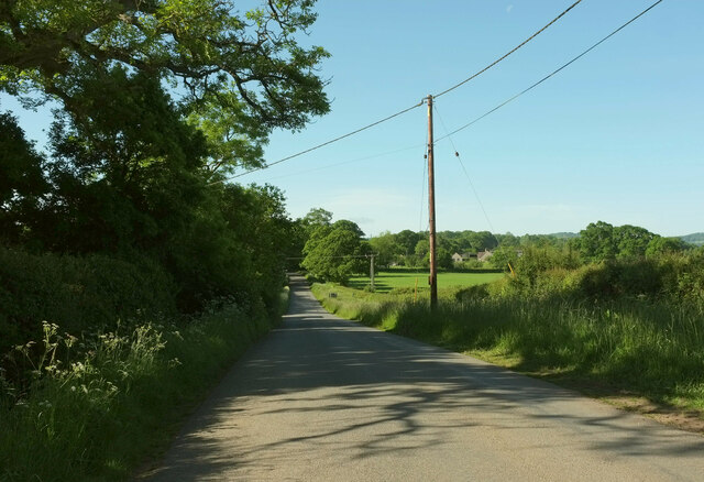
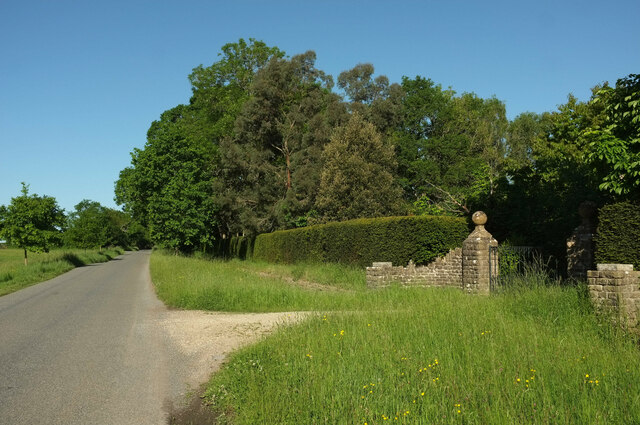
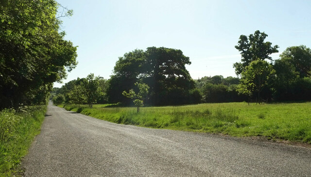
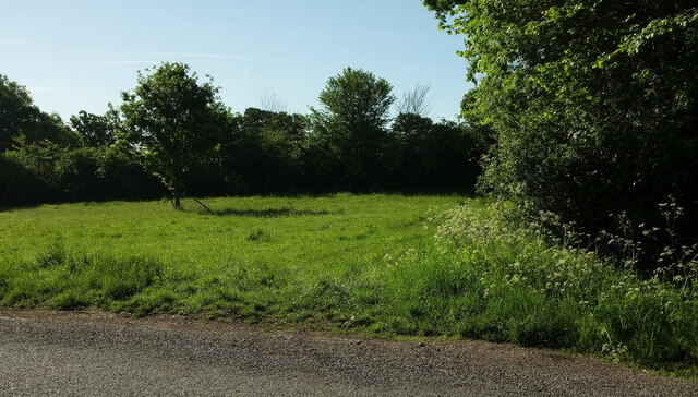
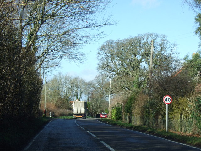
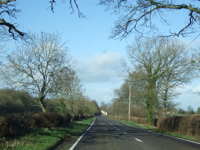
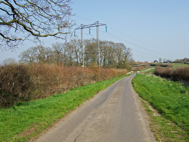
Pilleys Coppice is a picturesque woodland located in the county of Dorset, England. Situated near the village of Pimperne, it covers an area of approximately 30 hectares (74 acres) and is renowned for its natural beauty and diverse wildlife.

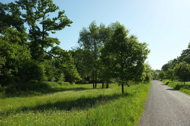
The woodland consists mainly of broadleaf trees, including oak, beech, and ash, which create a dense canopy overhead. These towering trees provide a peaceful and tranquil environment, making Pilleys Coppice a popular destination for nature enthusiasts, walkers, and photographers.

The forest floor is covered with a rich carpet of bluebells and wildflowers during the spring and summer months, adding a burst of color to the already vibrant surroundings. The undergrowth is also home to a variety of ferns and mosses, creating a lush and verdant understorey.

Pilleys Coppice is not only visually stunning but also teeming with wildlife. The woodland is home to a wide range of bird species, such as woodpeckers, owls, and songbirds, making it a haven for birdwatchers. Additionally, the forest provides a habitat for mammals such as deer, foxes, and badgers, as well as numerous species of insects and butterflies.

The woodland is crisscrossed by a network of well-maintained footpaths, allowing visitors to explore its hidden corners and discover its natural treasures. There are also designated picnic areas and benches, providing the perfect opportunity to relax and soak in the peaceful surroundings.

Pilleys Coppice is a true gem of Dorset, offering a sanctuary of tranquility and natural beauty for all who visit.

If you have any feedback on the listing, please let us know in the comments section below.

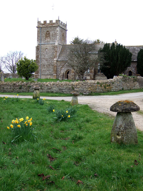
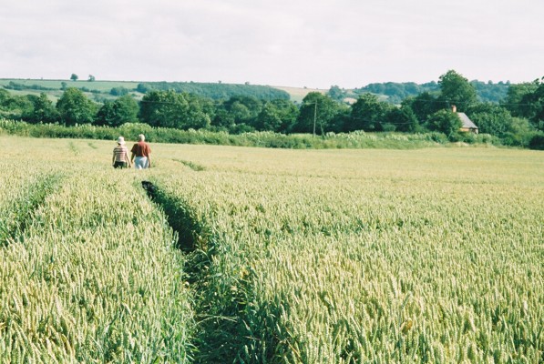
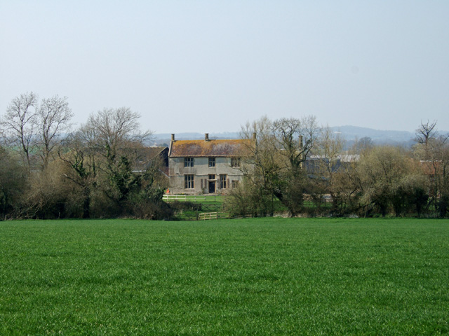
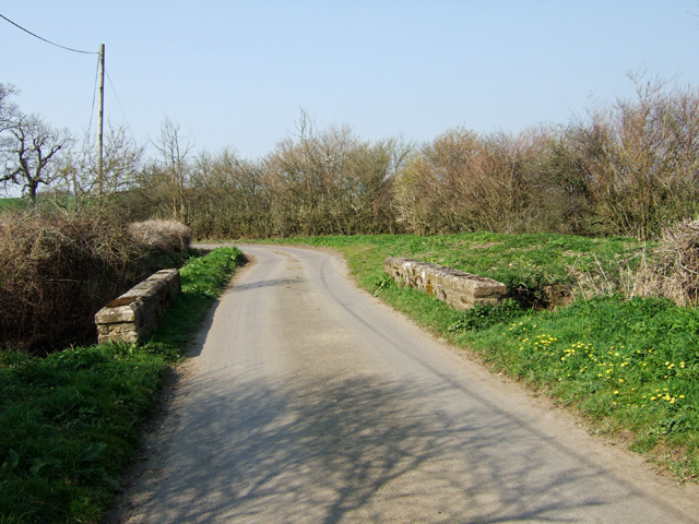
Pilleys Coppice Images

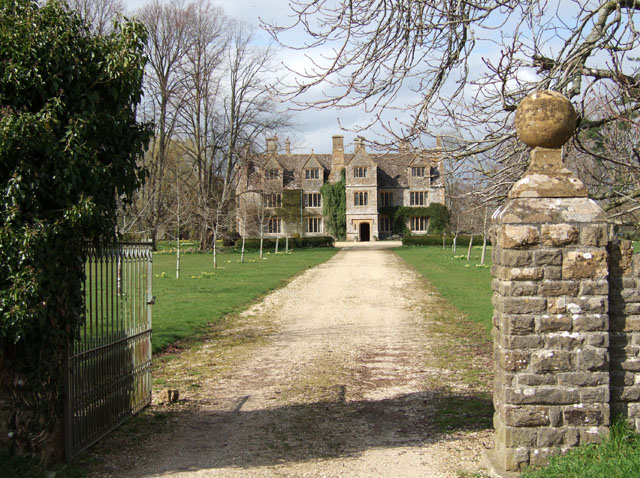
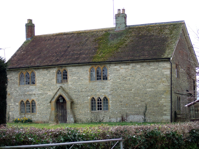
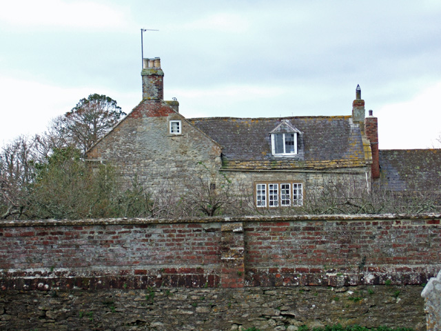
Images are sourced within 2km of 50.879128/-2.4552056 or Grid Reference ST6808. Thanks to Geograph Open Source API. All images are credited.

Holwell Manor House Grade II* listed. "Country House, C16 with much rebuilding of 1889" <span class="nowrap"><a title="https://historicengland.org.uk/listing/the-list/list-entry/1118845?section=official-list-entry" rel="nofollow ugc noopener" href="https://historicengland.org.uk/listing/the-list/list-entry/1118845?section=official-list-entry">Link</a><img style="margin-left:2px;" alt="External link" title="External link - shift click to open in new window" src="https://s1.geograph.org.uk/img/external.png" width="10" height="10"/></span> . Seen past the entrance gate on Holwell Drove <a href="https://www.geograph.org.uk/photo/7564503">ST6810 : Holwell Drove</a>.
Holwell Manor House
Grade II* listed. "Country House, C16 with much rebuilding of 1889" LinkExternal link . Seen past the entrance gate on Holwell Drove ST6810 : Holwell Drove.
Cottage, Sandhills Tess Cottage is opposite the junction of Holwell Drove (foreground) with Stock Hill Lane. Presumably named as a whimsical reference to Hardy's famous character who spent time in the Blackmore Vale, which we are in.
Cottage, Sandhills
Tess Cottage is opposite the junction of Holwell Drove (foreground) with Stock Hill Lane. Presumably named as a whimsical reference to Hardy's famous character who spent time in the Blackmore Vale, which we are in.
Stock Hill Lane Passing Rails Farm. To the right of the telegraph pole is Magog Farm.
Stock Hill Lane
Passing Rails Farm. To the right of the telegraph pole is Magog Farm.
Holwell Drove The unfenced symbol comes into play on maps here, as the western end of the road has the very wide verges characteristic of drove roads.
Holwell Drove
The unfenced symbol comes into play on maps here, as the western end of the road has the very wide verges characteristic of drove roads.
Holwell Drove The former drove road passes the entrance gateway to the Manor House, glimpsed at <a href="https://www.geograph.org.uk/photo/7184701">ST6810 : Holwell Manor House</a>
Holwell Drove
The former drove road passes the entrance gateway to the Manor House, glimpsed at ST6810 : Holwell Manor House
Holwell Drove Looking left from as the wide verge appears. See also <a href="https://www.geograph.org.uk/photo/7564475">ST6910 : Holwell Drove</a>.
Holwell Drove
Looking left from as the wide verge appears. See also ST6910 : Holwell Drove.
Verge by Holwell Drove Looking right from <a href="https://www.geograph.org.uk/photo/7564516">ST6810 : Holwell Drove</a>, with the wide verge ending abruptly.
Verge by Holwell Drove
Looking right from ST6810 : Holwell Drove, with the wide verge ending abruptly.
Road through Middlemarsh village
A352 road at Middlemarsh Common
Sandhills Manor House Grade II* listed manor house, C16 with extensive rebuilding in 1889.
Sandhills Manor House
Grade II* listed manor house, C16 with extensive rebuilding in 1889.
Manor Farm Glanvilles Wootton Mid C19 Grade II listed manor farmhouse. The southern gable was rebuilt c. 1978 when an attached cottage was demolished.
Manor Farm Glanvilles Wootton
Mid C19 Grade II listed manor farmhouse. The southern gable was rebuilt c. 1978 when an attached cottage was demolished.
The Old Rectory Glanvilles Wootton Grade II listed. The north range dates from circa 1780, the south range circa 1800. Viewed from the churchyard.
The Old Rectory Glanvilles Wootton
Grade II listed. The north range dates from circa 1780, the south range circa 1800. Viewed from the churchyard.
Glanvilles Wootton Church
Wall Memorial in Glanvilles Wootton Church Memorial dedicated to the memory of John Every, Late of Cothay in Somerset, who died on 8 July 1679.
Wall Memorial in Glanvilles Wootton Church
Memorial dedicated to the memory of John Every, Late of Cothay in Somerset, who died on 8 July 1679.
Footpath from Glanvilles Wootton The crops are coming along nicely, but the tractor route marking the footpath is still visible.
Footpath from Glanvilles Wootton
The crops are coming along nicely, but the tractor route marking the footpath is still visible.
Round Chimneys Farmhouse Grade II* listed farmhouse dating from the 1590s. Added to in 1632, with extensive alterations and demolitions during the C19. The first Sir Winston Churchill (1620 - 1688) was born here at Round Chimneys Farm near Glanvilles Wootton. Sir Winston was eclipsed by his more famous son, John Churchill, 1st Duke of Marlborough who was born at Round Chimneys Farm in 1650. He changed the course of European history with his triumphant victory at the Battle of Blenheim in 1704. A grateful nation rewarded him with the manor of Woodstock in Oxfordshire, and the magnificent Blenheim Palace.
Round Chimneys Farmhouse
Grade II* listed farmhouse dating from the 1590s. Added to in 1632, with extensive alterations and demolitions during the C19. The first Sir Winston Churchill (1620 - 1688) was born here at Round Chimneys Farm near Glanvilles Wootton. Sir Winston was eclipsed by his more famous son, John Churchill, 1st Duke of Marlborough who was born at Round Chimneys Farm in 1650. He changed the course of European history with his triumphant victory at the Battle of Blenheim in 1704. A grateful nation rewarded him with the manor of Woodstock in Oxfordshire, and the magnificent Blenheim Palace.
Blackmore Ford Bridge
Pylons near Boys Hill
Show me another place!

Pilleys Coppice is located at Grid Ref: ST6808 (Lat: 50.879128, Lng: -2.4552056)

Unitary Authority: Dorset

Police Authority: Dorset

What 3 Words

///extremely.over.cemented. Near Sherborne, Dorset

Related Wikis

Glanvilles Wootton

Glanvilles Wootton, or Wootton Glanville, is a village and civil parish in the county of Dorset in southern England. It is situated in the Blackmore Vale...

Dungeon Hill

Dungeon Hill is an Iron Age hillfort, about 1+1⁄4 miles (2 kilometres) north of the village of Buckland Newton in Dorset, England. It is a scheduled monument...

Holnest SSSI, Dorset

Holnest SSSI, Dorset (grid reference ST667106) is a 54.83 hectare biological Site of Special Scientific Interest in Dorset, notified in 2004.The site has...

Holnest

Holnest is a village and civil parish in the county of Dorset in southern England. It lies in the Blackmore Vale 4 miles (6.4 km) south of Sherborne. It...

Pulham

Pulham is a village and civil parish in the county of Dorset in south-west England. It is situated in the Blackmore Vale, 7 miles (11 kilometres) southeast...

Holwell, Dorset

Holwell is a village and civil parish in the county of Dorset in southern England, situated approximately 5 miles (8.0 km) south-east of Sherborne. It...

Cosmore

Cosmore is a small village in Dorset, situated just off the main A352 Sherborne-Dorchester road. It sits at the foot of Dogbury Hill, one of Dorset's...
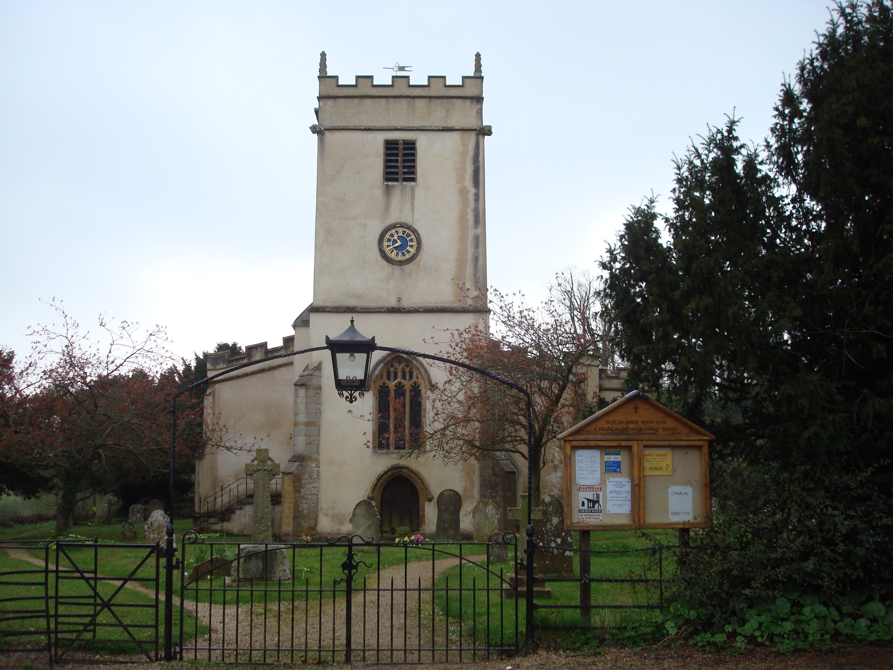
Buckland Newton

Buckland Newton is a village and civil parish in Dorset, England. It is situated beneath the scarp slope of the Dorset Downs, 7+1⁄2 miles (12.1 km) south...

Nearby Amenities

Located within 500m of 50.879128,-2.4552056
Post Box
Post Box Type: lamp
Ref: DT9 78
Ref GB Uprn: 10015458999
Royal Cypher: EIIR
Royal Cypher Wikidata: Q33102113
Lat/Long: 50.8797046/-2.452145
The data included in this document is from www.openstreetmap.org. The data is made available under ODbL.

Have you been to Pilleys Coppice?

Leave your review of Pilleys Coppice below (or comments, questions and feedback).