Sandhills Coppice
Wood, Forest in Dorset
England
Sandhills Coppice
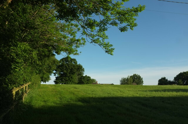
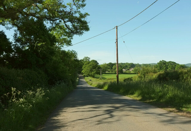
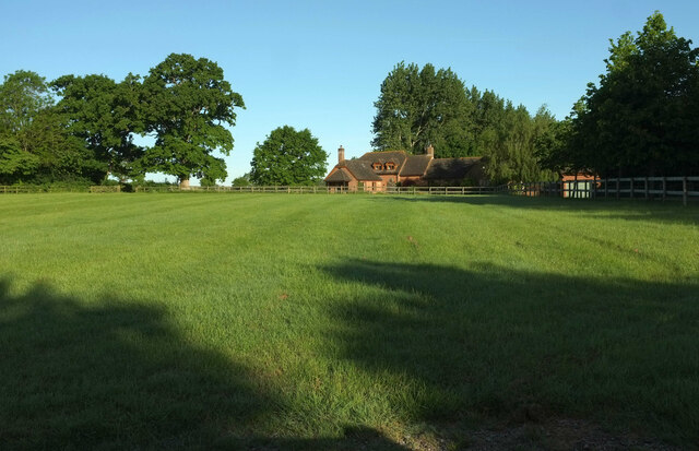
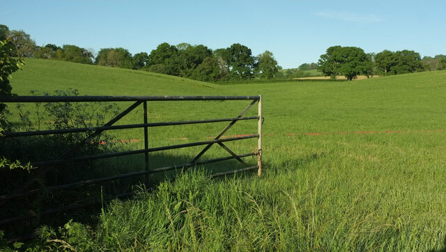
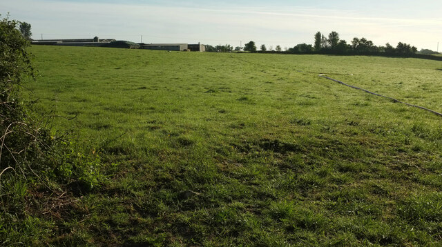
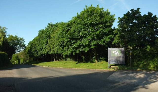
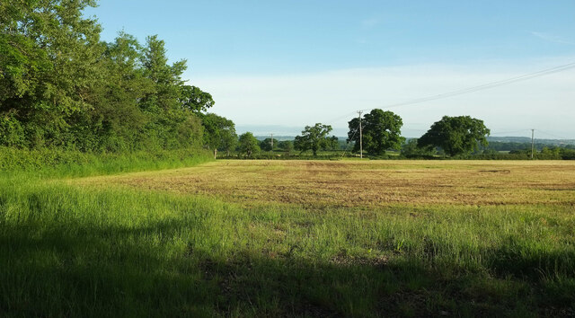
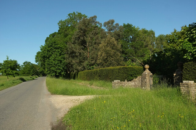
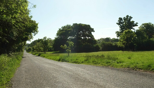
Sandhills Coppice is a beautiful woodland located in the county of Dorset, England. Covering an area of approximately 100 acres, it is renowned for its diverse and rich ecosystem. The coppice is situated in the heart of the Sandhills, a designated Area of Outstanding Natural Beauty, which further enhances its appeal.
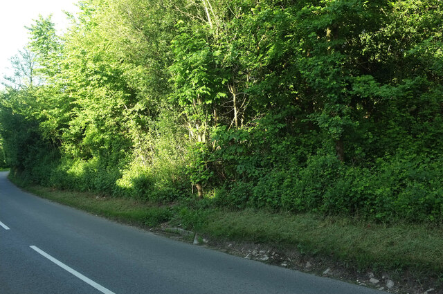
The woodland is primarily composed of oak and ash trees, providing a dense and verdant canopy that offers shelter to a wide variety of wildlife. The forest floor is adorned with an array of native flora, including bluebells, primroses, and wild garlic, creating a picturesque and enchanting setting.
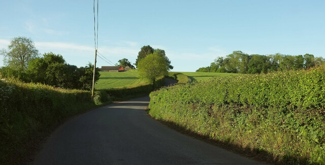
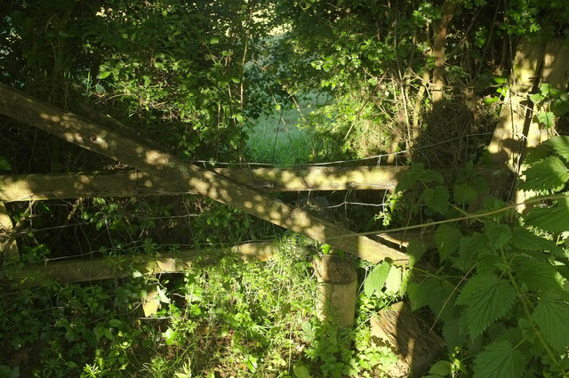
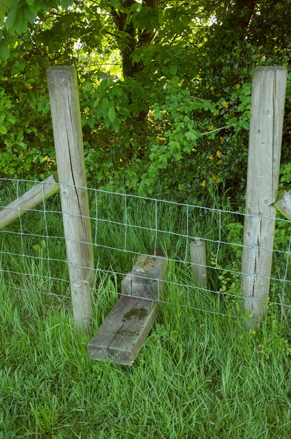
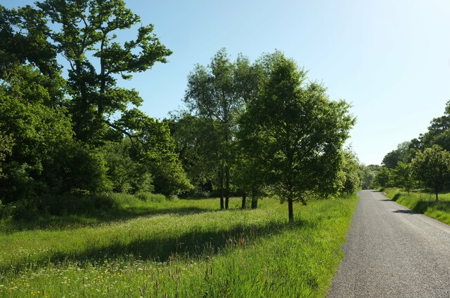
Visitors to Sandhills Coppice can enjoy a network of well-maintained footpaths that wind their way through the woodland, allowing for leisurely walks and exploration. These paths offer breathtaking views of the surrounding countryside and provide opportunities for birdwatching, with species such as woodpeckers, tawny owls, and buzzards frequently spotted.
The coppice is also home to a diverse range of fauna, including deer, badgers, foxes, and rabbits. Nature enthusiasts will delight in the chance to observe these animals in their natural habitat, as well as a multitude of insects, butterflies, and other invertebrates.
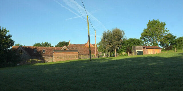
Sandhills Coppice is managed by the local authorities to preserve its natural beauty and promote sustainable practices. It is a popular destination for both locals and tourists alike, attracting nature lovers, hikers, and photographers throughout the year. With its tranquil atmosphere, stunning scenery, and abundant wildlife, Sandhills Coppice offers a truly immersive and unforgettable woodland experience.
If you have any feedback on the listing, please let us know in the comments section below.
Sandhills Coppice Images
Images are sourced within 2km of 50.874736/-2.4490656 or Grid Reference ST6808. Thanks to Geograph Open Source API. All images are credited.
Sandhills Coppice is located at Grid Ref: ST6808 (Lat: 50.874736, Lng: -2.4490656)
Unitary Authority: Dorset
Police Authority: Dorset
What 3 Words
///utensil.brands.zones. Near Sherborne, Dorset
Related Wikis

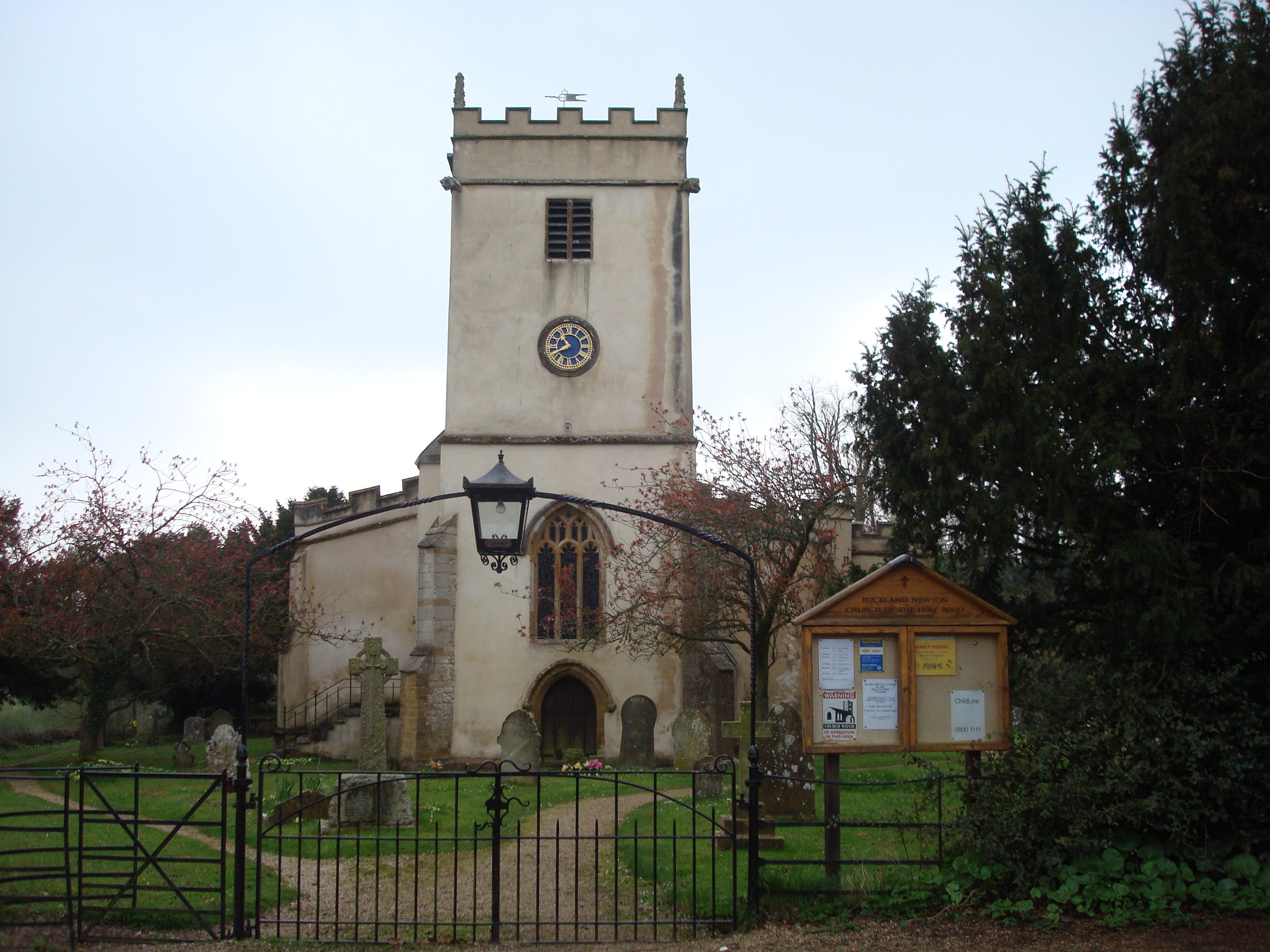
Glanvilles Wootton
Glanvilles Wootton, or Wootton Glanville, is a village and civil parish in the county of Dorset in southern England. It is situated in the Blackmore Vale...

Dungeon Hill
Dungeon Hill is an Iron Age hillfort, about 1+1⁄4 miles (2 kilometres) north of the village of Buckland Newton in Dorset, England. It is a scheduled monument...

Pulham
Pulham is a village and civil parish in the county of Dorset in south-west England. It is situated in the Blackmore Vale, 7 miles (11 kilometres) southeast...
Holnest SSSI, Dorset
Holnest SSSI, Dorset (grid reference ST667106) is a 54.83 hectare biological Site of Special Scientific Interest in Dorset, notified in 2004.The site has...

Holwell, Dorset
Holwell is a village and civil parish in the county of Dorset in southern England, situated approximately 5 miles (8.0 km) south-east of Sherborne. It...

Cosmore
Cosmore is a small village in Dorset, situated just off the main A352 Sherborne-Dorchester road. It sits at the foot of Dogbury Hill, one of Dorset's...

Holnest
Holnest is a village and civil parish in the county of Dorset in southern England. It lies in the Blackmore Vale 4 miles (6.4 km) south of Sherborne. It...
Buckland Newton
Buckland Newton is a village and civil parish in Dorset, England. It is situated beneath the scarp slope of the Dorset Downs, 7+1⁄2 miles (12.1 km) south...
Related Videos

St Mary's Church, Glanvilles Wootton, Dorset, England
Filmed November, 2021. Music: Vaughan Williams - The Lark Ascending Benedictines Of Mary, Queen of Apostles - Christus Rex.

Bell Ringing at Glanvilles Wootton, Margaret Marsh and Corfe Mullen, Dorset
Keeping to the theme of my previous video, here is a mashup of three further Dorset towers from across two Jack Pease outings ...
Nearby Amenities
Located within 500m of 50.874736,-2.4490656Have you been to Sandhills Coppice?
Leave your review of Sandhills Coppice below (or comments, questions and feedback).