Gaza Strip Plantation
Wood, Forest in Shropshire
England
Gaza Strip Plantation
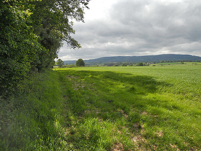
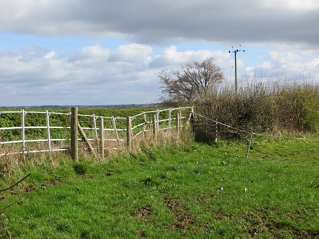
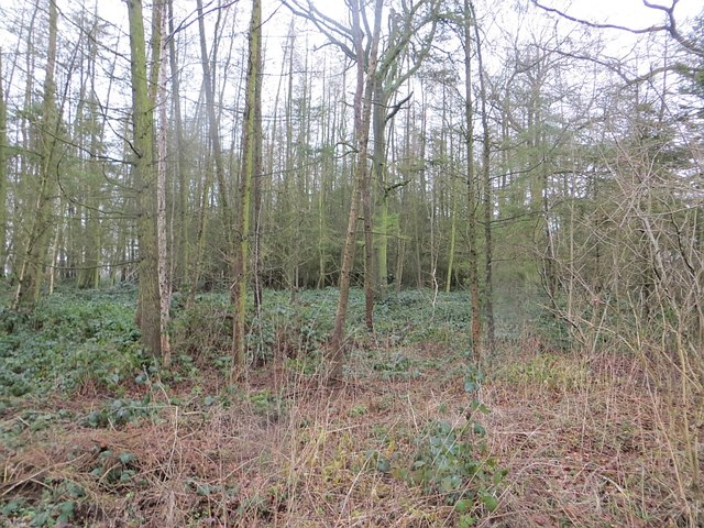
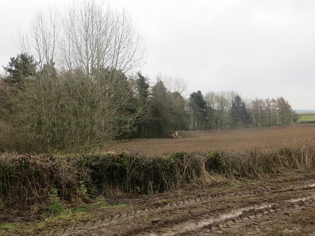
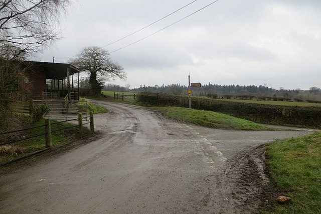
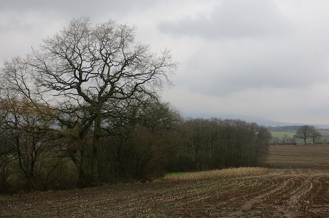
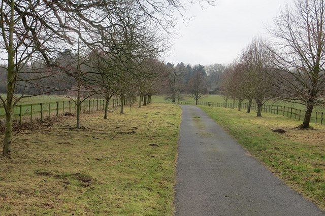
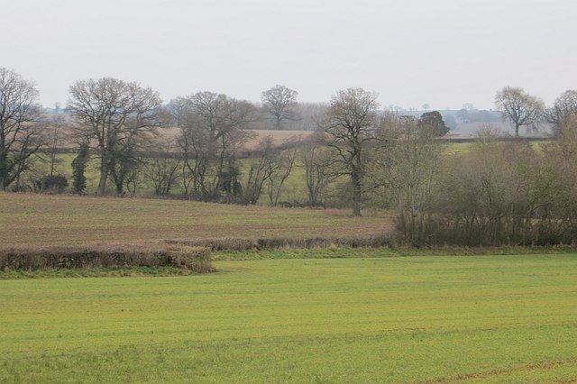
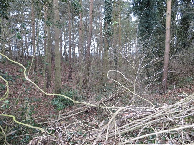
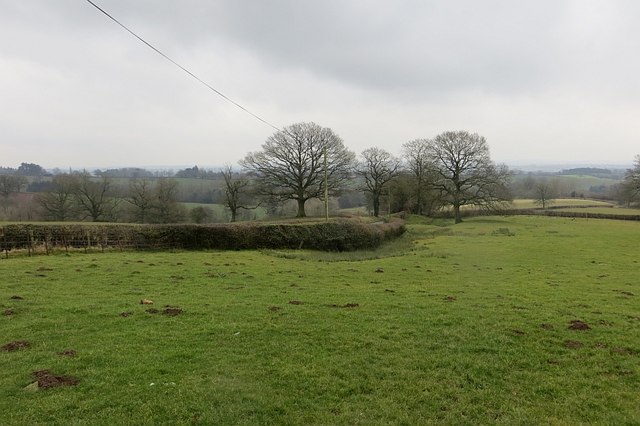
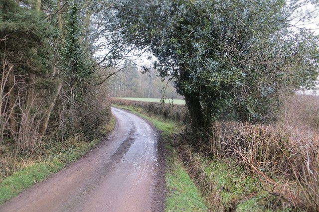
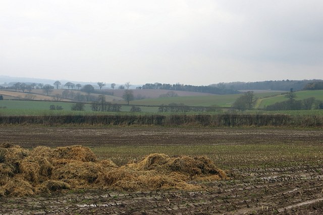
Gaza Strip Plantation is a beautiful woodland located in the county of Shropshire, England. Situated near the village of Gaza, the plantation covers an area of approximately 100 acres and is renowned for its lush greenery and diverse range of flora and fauna.
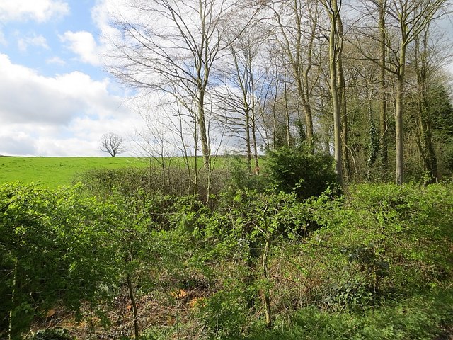
The plantation primarily consists of a variety of trees, including oak, beech, ash, and birch, which create a dense and enchanting forest canopy. These trees provide a habitat for numerous wildlife species, such as deer, foxes, badgers, and a wide array of bird species, making it a haven for nature enthusiasts and wildlife photographers.
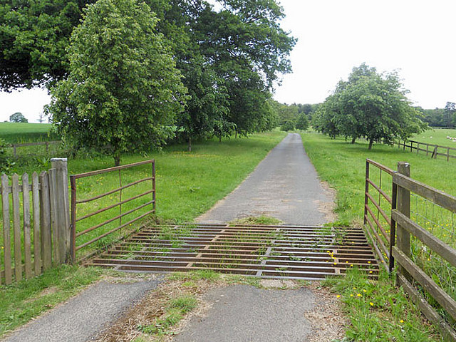
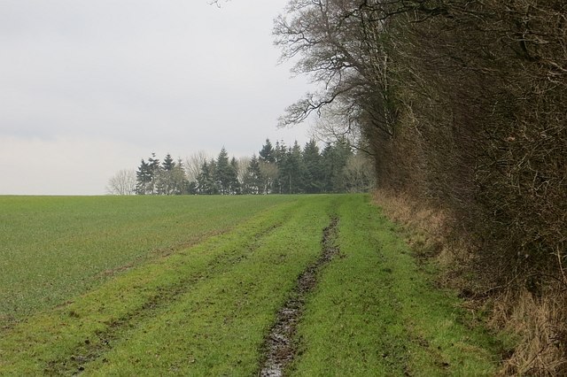
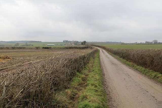
The woodland features well-maintained paths and trails, allowing visitors to explore and immerse themselves in the natural surroundings. Within the plantation, there is also a small clearing where visitors can enjoy picnics or simply relax amidst the tranquil atmosphere.
Gaza Strip Plantation is a popular destination for hikers and nature lovers, offering a peaceful retreat from the hustle and bustle of urban life. It provides an opportunity to reconnect with nature, enjoy long walks, and observe the captivating beauty of the woodland.
The plantation is open to the public throughout the year, with no admission fees. It is advisable to wear appropriate footwear for walking on uneven terrain and to bring binoculars or a camera to fully appreciate the flora and fauna.
Overall, Gaza Strip Plantation in Shropshire is a stunning woodland that offers a serene and picturesque setting for visitors to explore and appreciate the wonders of nature.
If you have any feedback on the listing, please let us know in the comments section below.
Gaza Strip Plantation Images
Images are sourced within 2km of 52.460716/-2.4718794 or Grid Reference SO6884. Thanks to Geograph Open Source API. All images are credited.
Gaza Strip Plantation is located at Grid Ref: SO6884 (Lat: 52.460716, Lng: -2.4718794)
Unitary Authority: Shropshire
Police Authority: West Mercia
What 3 Words
///validated.tanked.worldwide. Near Highley, Shropshire
Nearby Locations
Related Wikis

Sidbury, Shropshire
Sidbury is a village and civil parish 21 miles (34 km) south-east of Shrewsbury, in the Shropshire district, in the ceremonial county of Shropshire, England...

Stottesdon
Stottesdon is a village and civil parish in south east Shropshire, England. The parish of Stottesdon covers a large rural area and extends over the village...
Middleton Scriven
Middleton Scriven is a village and civil parish 20 miles (32 km) south east of Shrewsbury, in the Shropshire district, in the county of Shropshire, England...

Deuxhill
Deuxhill () is a hamlet and very small civil parish in Shropshire, England. The nearest town is Bridgnorth. The hamlet is situated on the B4363 road, north...
Have you been to Gaza Strip Plantation?
Leave your review of Gaza Strip Plantation below (or comments, questions and feedback).