Jones's Wood

Wood, Forest in Gloucestershire

England

Jones's Wood

St James Tytherington Tytherington Parish Church from the South
St James Tytherington Credit: Chris Shaw

Jones's Wood is a charming woodland located in Gloucestershire, England. This picturesque forest covers an area of approximately 100 acres and is nestled within the rolling hills of the county. Known for its natural beauty and tranquil atmosphere, Jones's Wood is a popular destination for nature lovers and outdoor enthusiasts.

The woodland is home to a diverse range of flora and fauna, including ancient oak trees, beech trees, and various species of wildflowers. Walking through the forest, visitors can enjoy the sounds of birds chirping and the occasional sighting of rabbits, squirrels, and other small mammals that inhabit the area.

There are several well-maintained trails that wind through the wood, providing visitors with the opportunity to explore and appreciate the natural surroundings. These paths are suitable for both casual strolls and more vigorous hikes, offering something for all levels of fitness.

Jones's Wood also features a small stream that runs through its heart, adding to the tranquil ambiance and providing an idyllic spot for picnics or a moment of reflection. The stream is home to a variety of aquatic life, including small fish and frogs, adding to the biodiversity of the woodland.

In addition to its natural beauty, Jones's Wood has historical significance. It is believed to have been named after a local landowner, Mr. Jones, who owned the woodland in the past. The wood has been well-preserved over the years, maintaining its charm and allure for visitors to enjoy.

Overall, Jones's Wood is a hidden gem in Gloucestershire, offering a peaceful retreat from the hustle and bustle of everyday life. Whether it's for a leisurely walk, a family outing, or a moment of solitude in nature, this woodland provides a delightful experience for all who venture into its enchanting embrace.

If you have any feedback on the listing, please let us know in the comments section below.
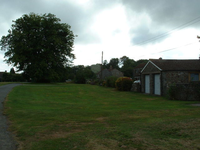
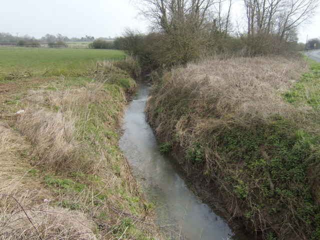
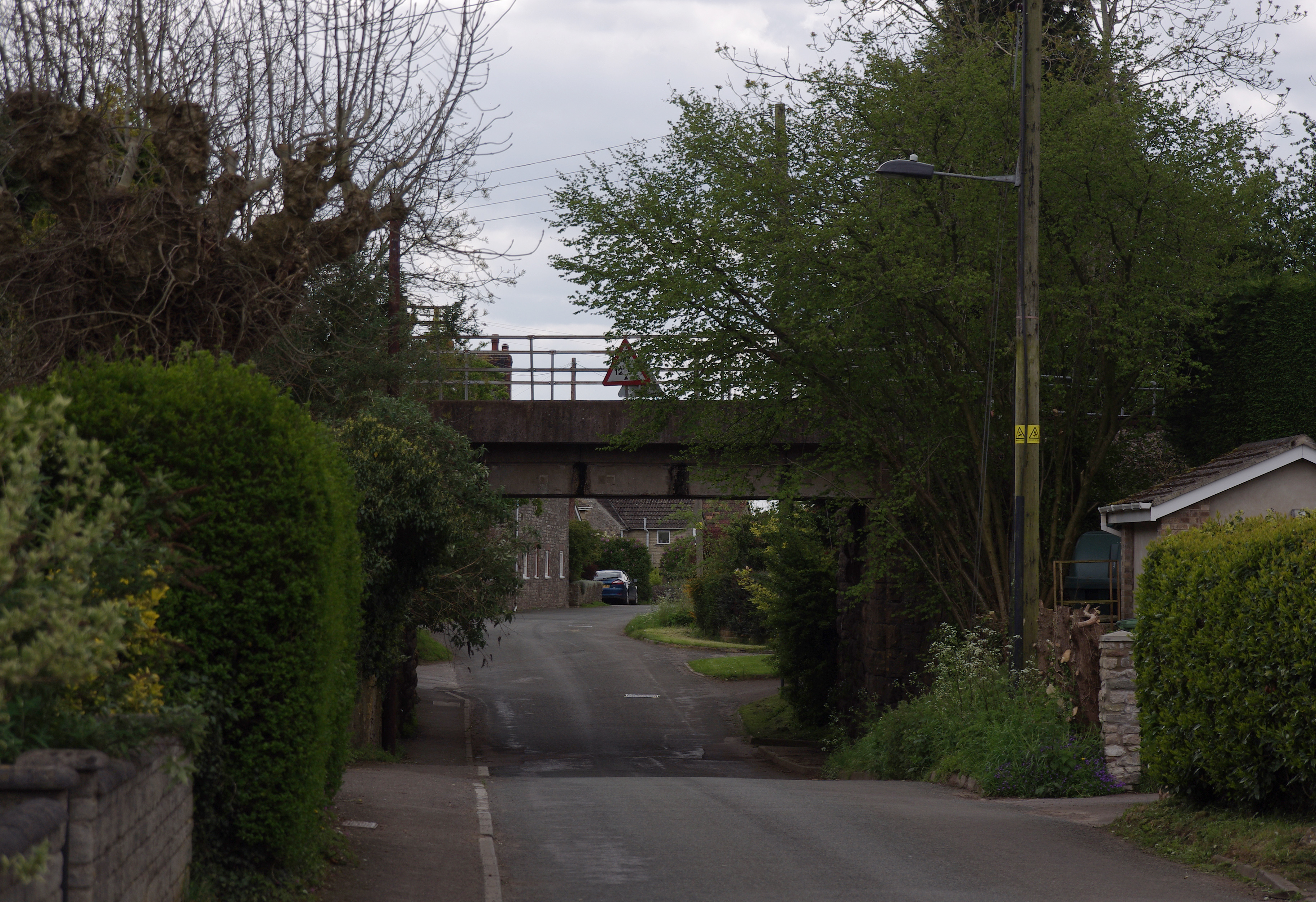
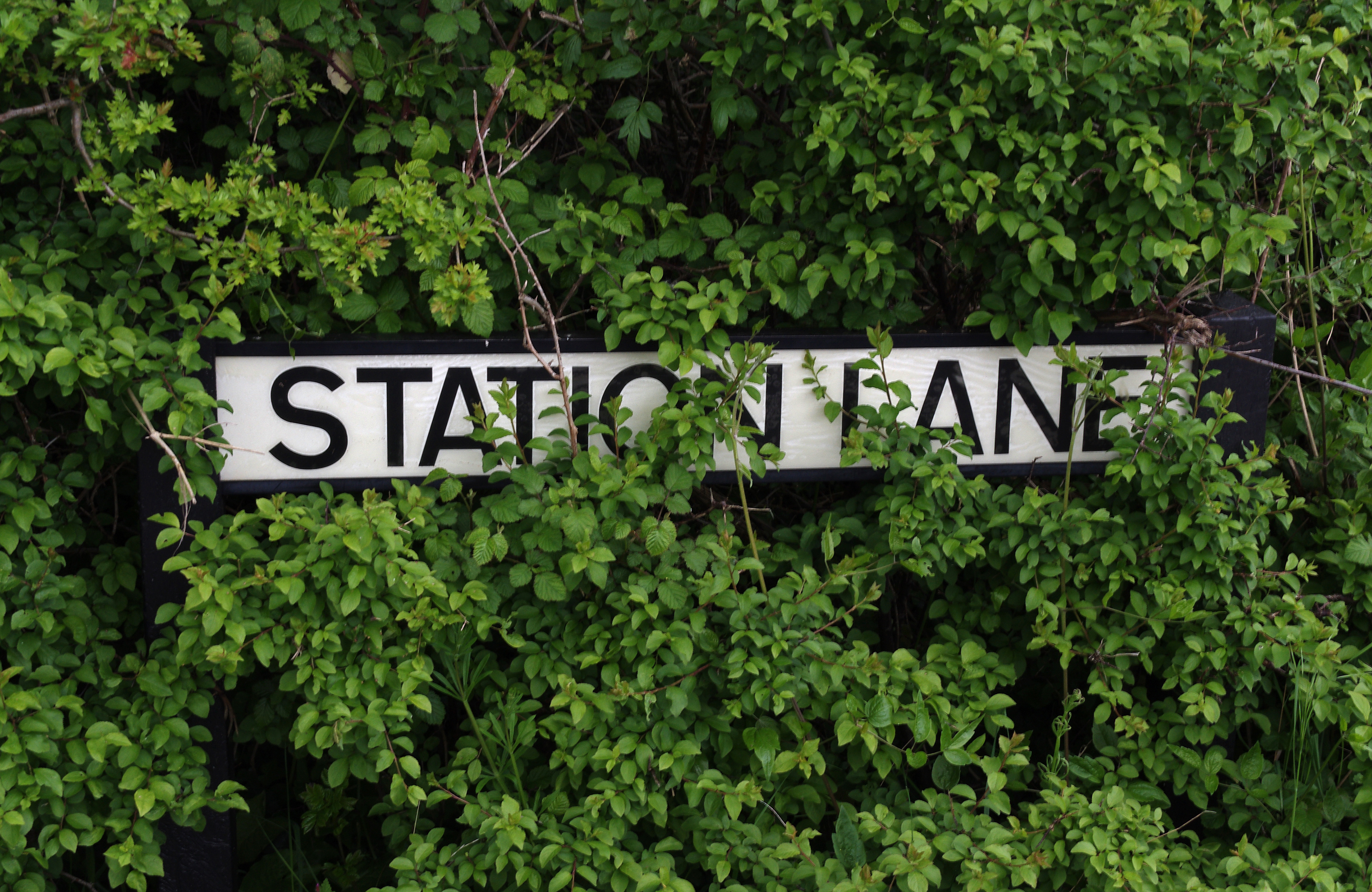
Jones's Wood Images

Images are sourced within 2km of 51.602947/-2.4629591 or Grid Reference ST6889. Thanks to Geograph Open Source API. All images are credited.

St James Tytherington Tytherington Parish Church from the South
St James Tytherington
Tytherington Parish Church from the South
Tytherington Cottages Cottages on the hill at the Eastern edge of Tytherington
Tytherington Cottages
Cottages on the hill at the Eastern edge of Tytherington
Baden Hill Village (!) centre at road junction.
Baden Hill
Village (!) centre at road junction.
Towards Tytherington Looking west across the square towards Tytherington.
Towards Tytherington
Looking west across the square towards Tytherington.
Heath End cottages Looking East at Heath End, in the NE of the square
Heath End cottages
Looking East at Heath End, in the NE of the square
Wyevale Garden Centre Thornbury branch. Wyevale have 109 centres in England and Wales making them by far the largest garden centre chain in the UK.
Wyevale Garden Centre
Thornbury branch. Wyevale have 109 centres in England and Wales making them by far the largest garden centre chain in the UK.
Ladden Brook At Summer Bridge.
Ladden Brook
At Summer Bridge.
Looking towards Jones's Wood From the corner of Priest Wood.
Looking towards Jones's Wood
From the corner of Priest Wood.
Milburyheath Plantation View south-east from Green Lane.
Milburyheath Plantation
View south-east from Green Lane.
Field of rape The farmer informed me that he was just about to mark the footpath which should proceed from here diagonally across the gridsquare.
Field of rape
The farmer informed me that he was just about to mark the footpath which should proceed from here diagonally across the gridsquare.
Ashworthy Farm View north of the Stidcot Road.
Ashworthy Farm
View north of the Stidcot Road.
Corner of Priest Wood
Green Road Looking back towards Milbury Heath.
Green Road
Looking back towards Milbury Heath.
Mill Farm, Tytherington
Entrance to Ashworthy Farm And also the Cattery.
Entrance to Ashworthy Farm
And also the Cattery.
Stidcote Lane
Stidcote Lane
Gate and Avon Cycle way link
Farm buildings Cuts Heath Road
Farm buildings
Cuts Heath Road
Show me another place!

Jones's Wood is located at Grid Ref: ST6889 (Lat: 51.602947, Lng: -2.4629591)

Unitary Authority: South Gloucestershire

Police Authority: Avon and Somerset

What 3 Words

///recline.crusted.regretted. Near Tytherington, Gloucestershire

Nearby Locations

Jones's Wood

Related Wikis

Tytherington, Gloucestershire

Tytherington is a village in the civil parish of Tytherington and Itchington, in the South Gloucestershire district, in the ceremonial county of Gloucestershire...

Tytherington Rocks F.C.

Tytherington Rocks F.C. is a football club based in Tytherington, near Thornbury, Gloucestershire, England. The club competes in the Hellenic League Division...

Milbury Heath

Milbury Heath is a hamlet in South Gloucestershire, England, located east of Thornbury. The hamlet has a garden centre and a few other farm shops. The...

Tytherington railway station

Tytherington railway station served the village of Tytherington in South Gloucestershire. The station was on the Yate to Thornbury branch line that was...

Nearby Amenities

Located within 500m of 51.602947,-2.4629591
Barrier: stile
Bicycle: no
Foot: yes
Material: wood
Stile: stepover
Lat/Long: 51.606121/-2.4592502
Barrier: stile
Bicycle: no
Foot: yes
Material: stone
Stile: stepover
Lat/Long: 51.6010025/-2.4645214
Barrier: stile
Bicycle: no
Foot: yes
Material: stone
Stile: stepover
Lat/Long: 51.6018823/-2.4633405
Barrier: stile
Bicycle: no
Foot: yes
Material: wood
Stile: stepover
Lat/Long: 51.6052218/-2.4601921
Power: tower
Source: Bing
Lat/Long: 51.6050779/-2.4674715
Power: tower
Source: Bing
Lat/Long: 51.6020793/-2.4675198
Power: pole
Source: Bing
Lat/Long: 51.6025783/-2.4602021
Power: pole
Source: Bing
Lat/Long: 51.5995536/-2.4645775
Location Transition: yes
Power: pole
Source: Bing
Lat/Long: 51.5991552/-2.4651869
Power: pole
Source: Bing
Lat/Long: 51.6042426/-2.4577774
Power: pole
Source: Bing
Lat/Long: 51.6004439/-2.4632938
Power: pole
Source: Bing
Lat/Long: 51.601229/-2.4622228
Power: pole
Source: Bing
Lat/Long: 51.6019083/-2.4611975
Power: pole
Source: Bing
Lat/Long: 51.6035016/-2.4588613
Power: pole
Source: Bing
Lat/Long: 51.6046912/-2.4568555
Thytherington Hill
Board Type: nature
Information: board
Tourism: information
Lat/Long: 51.5999293/-2.466208
The data included in this document is from www.openstreetmap.org. The data is made available under ODbL.

Have you been to Jones's Wood?

Leave your review of Jones's Wood below (or comments, questions and feedback).