Garden Wood

Wood, Forest in Northumberland

England

Garden Wood

Waterfall on Park Burn
Waterfall on Park Burn Credit: Les Hull

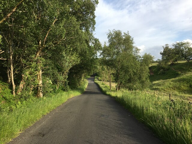
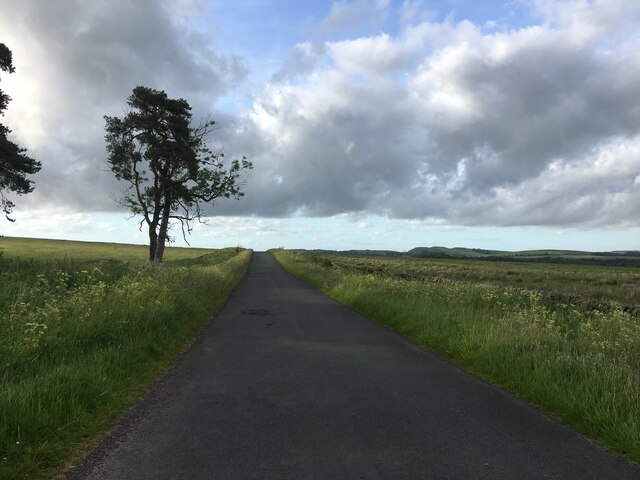
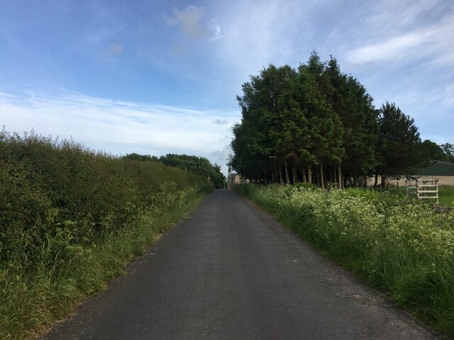
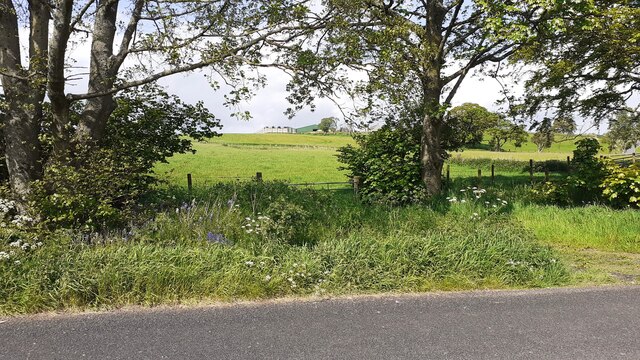
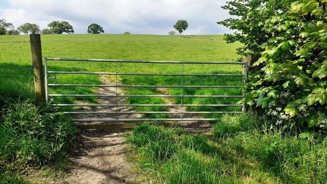
Garden Wood is a picturesque forest located in Northumberland, England. Covering an area of approximately 50 acres, it is known for its stunning natural beauty and diverse wildlife. The wood is situated in a rural area, surrounded by rolling hills and open countryside.

The forest is predominantly composed of deciduous trees, including oak, birch, and beech, which create a vibrant and colorful landscape throughout the year. The dense foliage provides a sheltered habitat for a wide variety of bird species, such as woodpeckers, owls, and thrushes, making it a popular spot for birdwatching enthusiasts.

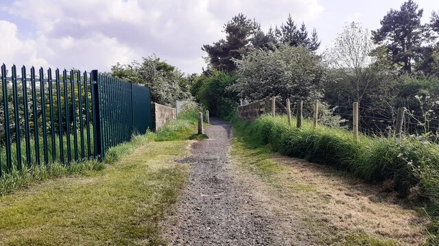
Garden Wood offers several well-maintained walking trails, allowing visitors to explore the area and immerse themselves in nature. These trails meander through the forest, passing by tranquil streams and small ponds, adding to the overall serenity of the woodland experience.

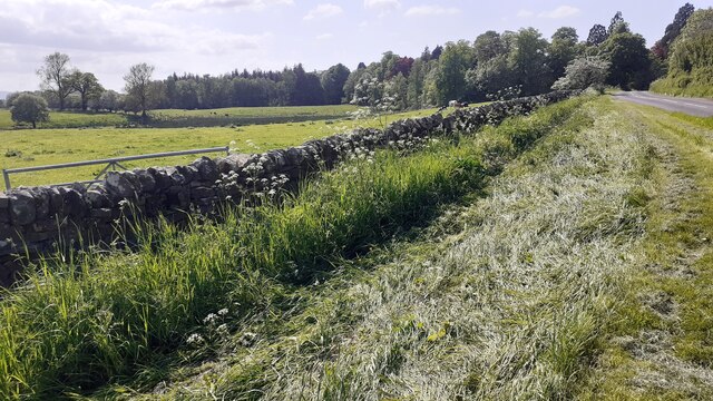
The wood is also home to a rich array of plant life, including wildflowers and ferns, which carpet the forest floor during the spring and summer months. Additionally, the wood serves as a sanctuary for numerous mammals, including badgers, foxes, and deer, further enhancing its ecological significance.

The management of Garden Wood focuses on conservation and sustainable practices, ensuring the preservation of its natural resources and the protection of its unique ecosystem. The forest is open to the public year-round, attracting both locals and tourists who seek solace in its tranquil surroundings and wish to reconnect with nature.

If you have any feedback on the listing, please let us know in the comments section below.

Garden Wood Images

Images are sourced within 2km of 54.969696/-2.5027941 or Grid Reference NY6764. Thanks to Geograph Open Source API. All images are credited.

Waterfall on Park Burn
Minor road near Featherstone Common
Minor road towards Wydoncleughside
Minor road near Wydoncleughside
Caravan Site near Haltwhistle
Haltwhistle Fire Station (Northumberland County Council)  on south side of Park Street
Haltwhistle Fire Station (Northumberland County Council) on south side of Park Street
Electricity pylon
Electricity pylon
Cows in field on south side of road west of Haltwhistle
Benchmark on #4 Park Road Park Road according to Ordnance Survey records, but I think it may be Westlands. Ordnance Survey cut mark benchmark levelled at 127.093m above Newlyn Datum verified 1954
Benchmark on #4 Park Road
Park Road according to Ordnance Survey records, but I think it may be Westlands. Ordnance Survey cut mark benchmark levelled at 127.093m above Newlyn Datum verified 1954
#4 Park Road (Westlands?) There is an Ordnance Survey benchmark <a href="https://www.geograph.org.uk/photo/7500897">NY6963 : Benchmark on #4 Park Road</a> on the near corner, left hand face, of the house
#4 Park Road (Westlands?)
There is an Ordnance Survey benchmark NY6963 : Benchmark on #4 Park Road on the near corner, left hand face, of the house
Gateway and fields on north side of rural road west of Haltwhistle
Benchmark on pier of boundary wall of cemetery on south side of Tyne View Road Ordnance Survey cut mark benchmark levelled at 125.041m above Newlyn Datum verified 1954
Benchmark on pier of boundary wall of cemetery on south side of Tyne View Road
Ordnance Survey cut mark benchmark levelled at 125.041m above Newlyn Datum verified 1954
West end of cemetery boundary wall and Nos. 2 & 3 Hadrians Rise on south side of B6322 There is an Ordnance Survey benchmark <a href="https://www.geograph.org.uk/photo/7501049">NY6963 : Benchmark on pier of boundary wall of cemetery on south side of Tyne View Road</a> 0n the wall pier at the end of the wall
West end of cemetery boundary wall and Nos. 2 & 3 Hadrians Rise on south side of B6322
There is an Ordnance Survey benchmark NY6963 : Benchmark on pier of boundary wall of cemetery on south side of Tyne View Road 0n the wall pier at the end of the wall
Field gateway on NE side of rural road west of Haltwhistle
Bridge providing footpath over Carlisle-Newcastle railway line The bridge has identity NEC2/120
Bridge providing footpath over Carlisle-Newcastle railway line
The bridge has identity NEC2/120
B6318 near Haltwhistle
Peatsteel Crags south from Hadrian's Wall View far south into the South Tyne valley to Cross Fell.
Peatsteel Crags south from Hadrian's Wall
View far south into the South Tyne valley to Cross Fell.
Show me another place!

Garden Wood is located at Grid Ref: NY6764 (Lat: 54.969696, Lng: -2.5027941)

Unitary Authority: Northumberland

Police Authority: Northumbria

What 3 Words

///maternal.meanwhile.charging. Near Greenhead, Northumberland

Related Wikis

Blenkinsop Hall

Blenkinsop Hall (grid reference NY68186412) is a privately owned castellated 19th-century country house situated on the banks of the Tipalt Burn near Greenhead...

Blenkinsopp Castle

Blenkinsopp Castle (spelled Blenkinsop in many records) is a fire-damaged, partly demolished 19th-century country mansion, incorporating the ruinous remains...

Burnfoot River Shingle and Wydon Nabb

Burnfoot River Shingle and Wydon Nabb is the name given to a Site of Special Scientific Interest (SSSI) in Northumberland, North East England. Burnfoot...

Greenhead, Northumberland

Greenhead is a village in Northumberland, England. The village is on the Military Road (B6318), about 17 miles (27 km) from Chollerford, 3 miles (5 km...

Nearby Amenities

Located within 500m of 54.969696,-2.5027941
Barrier: yes
Lat/Long: 54.9683534/-2.5078323
Power: pole
Lat/Long: 54.9671874/-2.5081551
Power: pole
Lat/Long: 54.9731934/-2.5018095
Power: pole
Lat/Long: 54.9728985/-2.5023884
Power: pole
Lat/Long: 54.9708802/-2.5079566
Power: pole
Lat/Long: 54.9713882/-2.5062534
Power: pole
Lat/Long: 54.9724921/-2.5033593
Power: pole
Lat/Long: 54.973505/-2.5001648
The data included in this document is from www.openstreetmap.org. The data is made available under ODbL.

Have you been to Garden Wood?

Leave your review of Garden Wood below (or comments, questions and feedback).