Onset Wood
Wood, Forest in Northumberland
England
Onset Wood
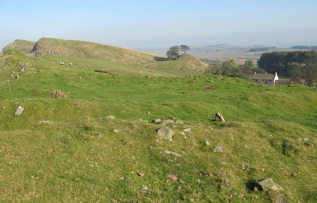
Onset Wood is a magnificent forest nestled in the heart of Northumberland, a county in the northeast of England. Spanning over 500 acres, this enchanting woodland is a haven for nature lovers and outdoor enthusiasts alike.
The wood boasts a diverse range of tree species, including ancient oaks, beech, birch, and pine, which create a stunning tapestry of colors throughout the year. The forest floor is carpeted with a rich variety of flora, from delicate wildflowers to vibrant ferns, adding to the area's natural beauty.
The wood is home to an array of wildlife, with deer, foxes, badgers, and numerous bird species inhabiting the area. Birdwatchers can spot a variety of feathered friends, including woodpeckers, owls, and thrushes, while nature enthusiasts can enjoy observing the forest's inhabitants in their natural habitat.
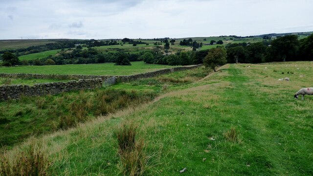
Visitors to Onset Wood can explore its many trails and paths, which meander through the forest, offering breathtaking views of the surrounding countryside. The wood is a popular destination for walkers, joggers, and cyclists, who can enjoy the peace and tranquility of the natural surroundings.
For those seeking a more immersive experience, the wood also offers camping facilities, allowing visitors to spend the night under the stars and wake up to the sounds of nature. The campsite provides basic amenities, ensuring a comfortable stay amidst the wilderness.
Overall, Onset Wood is a captivating destination that offers a serene escape from the hustle and bustle of everyday life. Its natural beauty, diverse wildlife, and peaceful atmosphere make it a perfect retreat for nature enthusiasts and outdoor adventurers alike.
If you have any feedback on the listing, please let us know in the comments section below.
Onset Wood Images
Images are sourced within 2km of 54.977544/-2.5062669 or Grid Reference NY6764. Thanks to Geograph Open Source API. All images are credited.


Onset Wood is located at Grid Ref: NY6764 (Lat: 54.977544, Lng: -2.5062669)
Unitary Authority: Northumberland
Police Authority: Northumbria
What 3 Words
///fabric.starters.again. Near Greenhead, Northumberland
Nearby Locations
Related Wikis

Blenkinsop Hall
Blenkinsop Hall (grid reference NY68186412) is a privately owned castellated 19th-century country house situated on the banks of the Tipalt Burn near Greenhead...

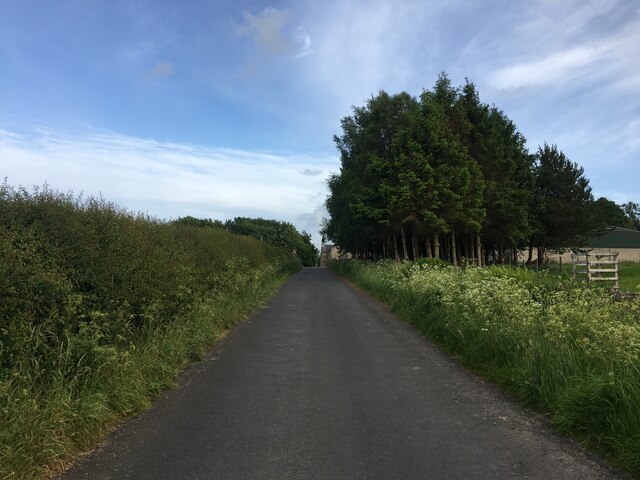
Greenhead, Northumberland
Greenhead is a village in Northumberland, England. The village is on the Military Road (B6318), about 17 miles (27 km) from Chollerford, 3 miles (5 km...

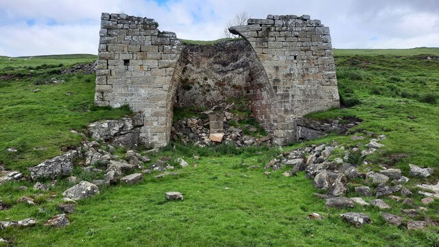
Blenkinsopp Castle
Blenkinsopp Castle (spelled Blenkinsop in many records) is a fire-damaged, partly demolished 19th-century country mansion, incorporating the ruinous remains...

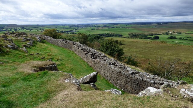
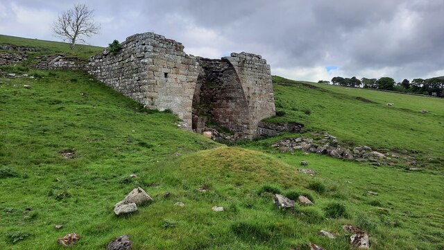
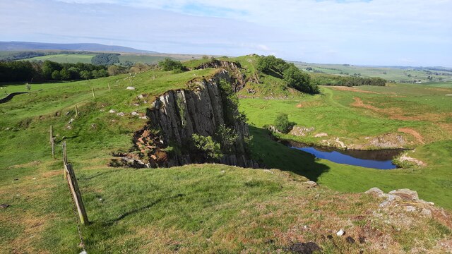
Magnis (Carvoran)
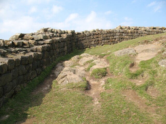
Magnis or Magna was a Roman fort on Hadrian's Wall in northern Britain. Its ruins are now known as Carvoran Roman Fort and are located near Carvoran, Northumberland...

Alloa Lea Quarry Cave
Alloa Lea Quarry Cave is a short cave in the Five Yard Limestone of the Alston Block in Northumberland, England. It is situated in an old quarry on the...

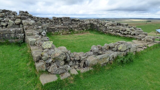
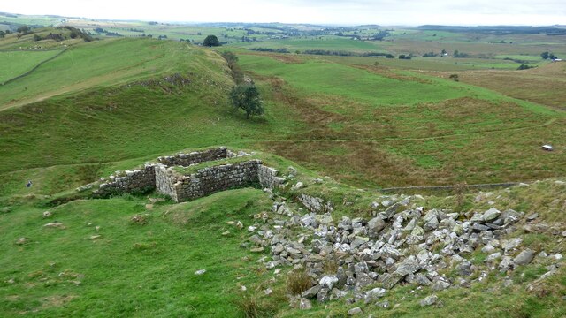
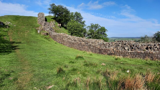
Milecastle 46
Milecastle 46 (Carvoran) was a milecastle on Hadrian's Wall (grid reference NY66466601). == Description == Milecastle 46 is just west of the Vallum deviation...
Milecastle 45
Milecastle 45 (Walltown) was a milecastle on Hadrian's Wall (grid reference NY67716657). == Description == Milecastle 45 is on the top of Walltown Crags...
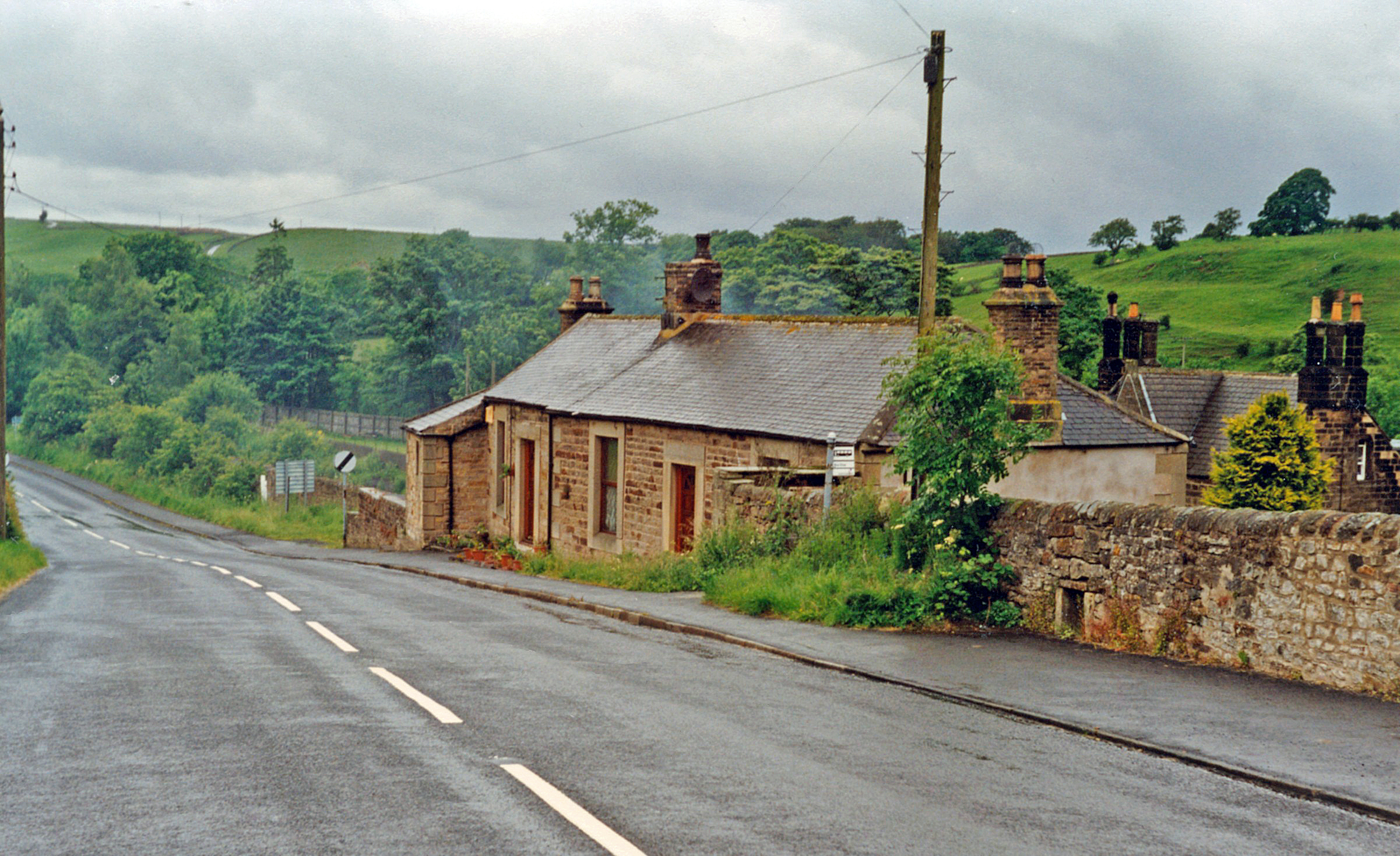
Greenhead railway station
Greenhead was a former railway station, which served the village of Greenhead, Northumberland in Northumberland between 1836 and 1967. == History == The...
Nearby Amenities
Located within 500m of 54.977544,-2.5062669Have you been to Onset Wood?
Leave your review of Onset Wood below (or comments, questions and feedback).