Doblee Wood

Wood, Forest in Herefordshire

England

Doblee Wood

St Andrew's Church, Pixley Much of the church building is thought to date from the thirteenth century. It is built of local red sandstone on a mound which until fairly recently was surrounded by a moat. The church was extensively restored in 1865. Additional repairs were carried out in the 1980s and again in 2005 when the roof and Victorian turret were renovated.
St Andrew's Church, Pixley Credit: Eirian Evans

Doblee Wood is a picturesque forest located in Herefordshire, England. Covering an area of approximately 100 acres, this ancient woodland is renowned for its diverse ecosystem and stunning natural beauty. The wood is predominantly composed of oak and beech trees, which provide a dense canopy and create a peaceful and shaded environment for visitors.

The forest floor of Doblee Wood is adorned with a rich carpet of bluebells during the spring season, creating a breathtaking sight for nature enthusiasts and photographers. The woodland is also home to a variety of wildlife, including deer, badgers, and a myriad of bird species, making it a haven for wildlife enthusiasts and birdwatchers.

Several walking trails meander through Doblee Wood, allowing visitors to explore its tranquil surroundings and immerse themselves in the serenity of nature. The trails are well-maintained and accessible, making it suitable for individuals of all ages and fitness levels. Along the trails, there are informative signposts that provide interesting facts about the flora and fauna found in the wood, enhancing the educational value of the visit.

Doblee Wood is a popular destination for outdoor activities such as hiking, picnicking, and nature photography. The peaceful atmosphere and breathtaking scenery make it an ideal place for relaxation and rejuvenation. Whether one seeks solitude or wishes to engage in outdoor pursuits, Doblee Wood offers a serene and enchanting experience for all who visit.

If you have any feedback on the listing, please let us know in the comments section below.
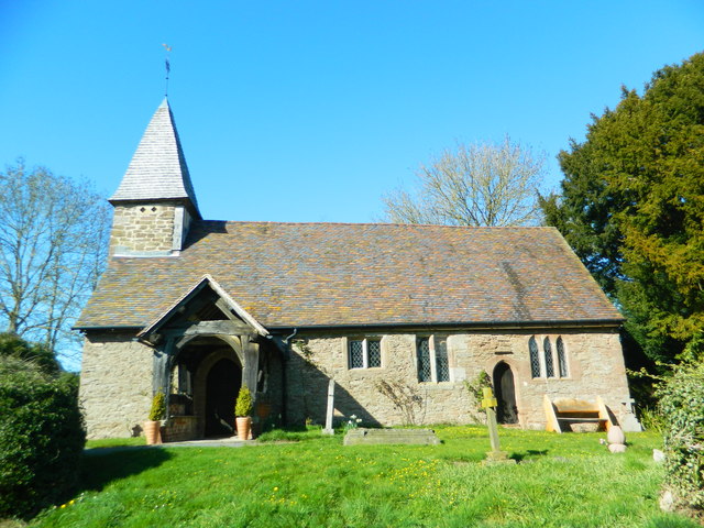
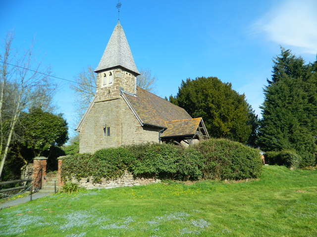
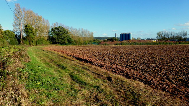
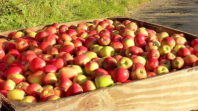
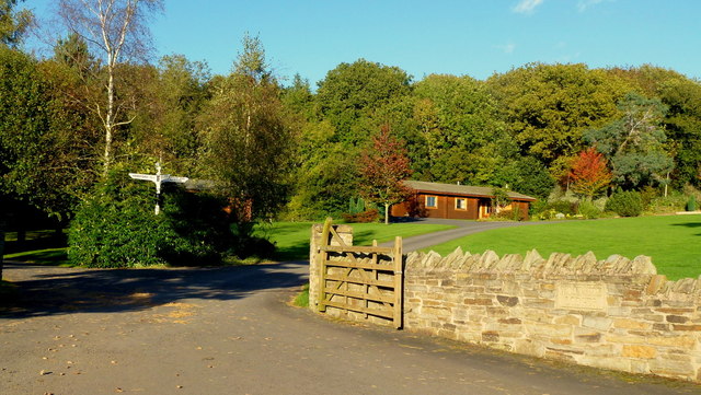
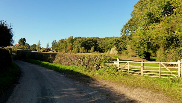
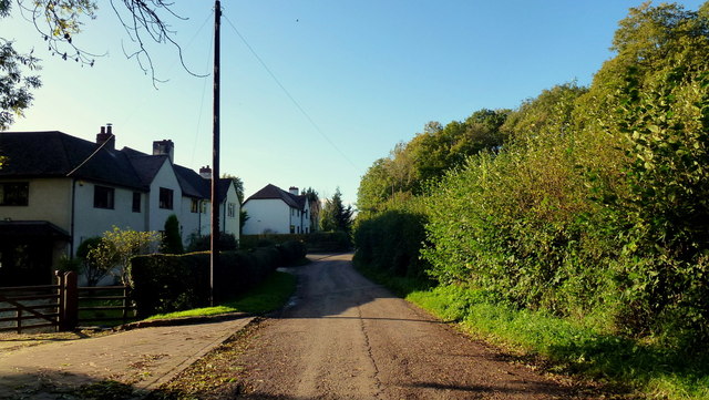
Doblee Wood Images

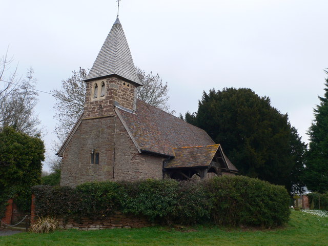
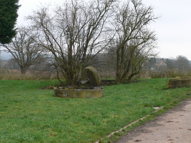
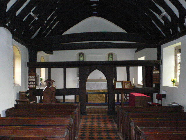
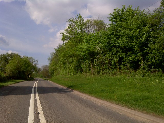
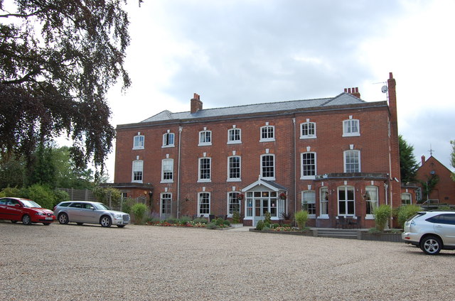
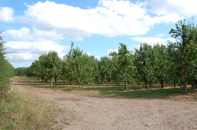
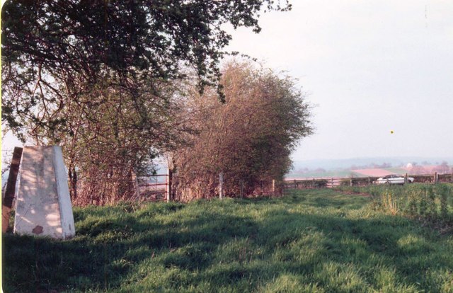
Images are sourced within 2km of 52.044695/-2.4698597 or Grid Reference SO6738. Thanks to Geograph Open Source API. All images are credited.

St Andrew's Church, Pixley Much of the church building is thought to date from the thirteenth century. It is built of local red sandstone on a mound which until fairly recently was surrounded by a moat. The church was extensively restored in 1865. Additional repairs were carried out in the 1980s and again in 2005 when the roof and Victorian turret were renovated.
St Andrew's Church, Pixley
Much of the church building is thought to date from the thirteenth century. It is built of local red sandstone on a mound which until fairly recently was surrounded by a moat. The church was extensively restored in 1865. Additional repairs were carried out in the 1980s and again in 2005 when the roof and Victorian turret were renovated.
Relics of a cider mill An old millstone from the cider mill which used to be at Pixley Court Farm.
Relics of a cider mill
An old millstone from the cider mill which used to be at Pixley Court Farm.
Benchmark on Pixley Church Flush bracket S9688 on the western face of St Andrew's Church.
Benchmark on Pixley Church
Flush bracket S9688 on the western face of St Andrew's Church.
Inside St Andrew's Church, Pixley The little white-washed nave is divided from the white-washed chancel by a screen, its entrance arch (only six feet high) made of naturally curved timbers from some great tree. The screen has three bays and the cross-beam has a patch of neat carving; So have the roof beams which match these venerable timbers. There are no iron nails in the screen, which is fastened together with pegs.
Inside St Andrew's Church, Pixley
The little white-washed nave is divided from the white-washed chancel by a screen, its entrance arch (only six feet high) made of naturally curved timbers from some great tree. The screen has three bays and the cross-beam has a patch of neat carving; So have the roof beams which match these venerable timbers. There are no iron nails in the screen, which is fastened together with pegs.
A4172 at Pixley
A4172 at Pixley
Verzon House Hotel Boutique Hotel and Restaurant
Verzon House Hotel
Boutique Hotel and Restaurant
Orchard, near The Verzons Apple Orchard
Orchard, near The Verzons
Apple Orchard
Trig  point near A438 at Trumpet Triangulation pillar with Ordnance Survey flush bracket benchmark with serial number S7045 described in detail at <span class="nowrap"><a title="http://trigpointinguk.com/trigs/trig-details.php?t=4616" rel="nofollow ugc noopener" href="http://trigpointinguk.com/trigs/trig-details.php?t=4616">Link</a><img style="margin-left:2px;" alt="External link" title="External link - shift click to open in new window" src="https://s1.geograph.org.uk/img/external.png" width="10" height="10"/></span>
Trig point near A438 at Trumpet
Triangulation pillar with Ordnance Survey flush bracket benchmark with serial number S7045 described in detail at LinkExternal link
St Andrew's Church, Pixley
Entrance to Woodside Lodges, Falcon Lane Luxury scandinavian log cabins
Entrance to Woodside Lodges, Falcon Lane
Luxury scandinavian log cabins
Falcon Lane
Falcon Lane
Open fields west of the UBL factory Arable land to the west of Ladbury.
UBL process fruit as well as can and bottle beverages.
Open fields west of the UBL factory
Arable land to the west of Ladbury. UBL process fruit as well as can and bottle beverages.
Apple harvest Taking picked fruit from orchard to Flights Farm just a few yards away.
The variety is Jazz and is being marketed to Marks & Spencers, apparently.
Apple harvest
Taking picked fruit from orchard to Flights Farm just a few yards away. The variety is Jazz and is being marketed to Marks & Spencers, apparently.
Freshly picked The variety is Jazz, grown at Flights Farm, see <a href="https://www.geograph.org.uk/photo/3181133">SO6837 : Apple harvest</a>.
Freshly picked
The variety is Jazz, grown at Flights Farm, see SO6837 : Apple harvest.
Woodside Lodges Holiday park between Falcon Lane and Wood near Ledbury.
Woodside Lodges
Holiday park between Falcon Lane and Wood near Ledbury.
Falcon Lane Falcon Lane Wood over to the right.
Falcon Lane
Falcon Lane Wood over to the right.
Farmworker's cottages on Falcon Lane Facing Falcon Lane Wood.
Farmworker's cottages on Falcon Lane
Facing Falcon Lane Wood.
Show me another place!

Doblee Wood is located at Grid Ref: SO6738 (Lat: 52.044695, Lng: -2.4698597)

Unitary Authority: County of Herefordshire

Police Authority: West Mercia

What 3 Words

///loafer.purifier.backward. Near Ledbury, Herefordshire

Related Wikis

Pixley, Herefordshire

Pixley is a village and civil parish in Herefordshire, England. The population of the civil parish at the 2011 census was 258. The village consists of...

Aylton

Aylton is a village in eastern Herefordshire, England. It is 5.5 km (3.4 mi) west of Ledbury. The population of this parish at the 2011 Census was 144...

Little Marcle

Little Marcle is a village and civil parish 10 miles (16 km) east of Hereford, in the county of Herefordshire, England. In 2011 the parish had a population...

Trumpet, Herefordshire

Trumpet or The Trumpet is a village in Herefordshire, England. The village is named after the timber-framed Trumpet Inn. The inn is located at a major...

Nearby Amenities

Located within 500m of 52.044695,-2.4698597
Power: pole
Lat/Long: 52.0478273/-2.470637
Power: pole
Lat/Long: 52.0479426/-2.4729542
Power: pole
Lat/Long: 52.0478861/-2.472007
Power: pole
Lat/Long: 52.047799/-2.4658762
Power: pole
Lat/Long: 52.0478627/-2.4649035
Power: pole
Lat/Long: 52.0477097/-2.469016
Power: pole
Lat/Long: 52.0476455/-2.4678287
Power: pole
Lat/Long: 52.0438673/-2.4728423
Power: pole
Lat/Long: 52.0479947/-2.4740203
Power: pole
Lat/Long: 52.042512/-2.471848
Location Transition: yes
Power: pole
Lat/Long: 52.046094/-2.473861
Power: pole
Lat/Long: 52.0410939/-2.4708009
Power: pole
Lat/Long: 52.0451928/-2.4738357
Woodside Country Park
Operator: Independant
Tourism: camp_site
Lat/Long: 52.0415578/-2.465042
Power: pole
Lat/Long: 52.0483043/-2.4731271
Power: pole
Lat/Long: 52.04827/-2.4711451
Power: pole
Lat/Long: 52.0482375/-2.4704296
Power: pole
Lat/Long: 52.0481925/-2.4692364
Power: pole
Lat/Long: 52.0481437/-2.46822
Power: pole
Lat/Long: 52.0483887/-2.4672158
Power: pole
Lat/Long: 52.048599/-2.4663708
Power: pole
Lat/Long: 52.0478368/-2.4748402
Woodside Lodges
Power: pole
Transformer: distribution
Voltage Primary: 11000
Lat/Long: 52.0418325/-2.4670047
Power: pole
Lat/Long: 52.0414778/-2.4661008
Location Transition: yes
Power: pole
Lat/Long: 52.047241/-2.4716261
Power: pole
Lat/Long: 52.0464322/-2.4718568
The Leys
Power: pole
Transformer: distribution
Voltage Primary: 11000
Lat/Long: 52.0458227/-2.4722081
Lakeside Park
Power: pole
Transformer: distribution
Voltage Primary: 11000
Lat/Long: 52.04524/-2.4725374
Power: pole
Lat/Long: 52.0447038/-2.4720781
Power: pole
Lat/Long: 52.0440955/-2.4715664
Power: pole
Lat/Long: 52.0434946/-2.4710722
Baregains Farm
Power: pole
Transformer: distribution
Voltage Primary: 11000
Lat/Long: 52.0428355/-2.4705184
Wallers Green
Power: pole
Transformer: distribution
Voltage Primary: 11000
Lat/Long: 52.0484056/-2.4702749
Keepers Cottage Cabins
Location Transition: yes
Power: pole
Transformer: distribution
Voltage Primary: 11000
Lat/Long: 52.0422358/-2.4644901
The data included in this document is from www.openstreetmap.org. The data is made available under ODbL.

Have you been to Doblee Wood?

Leave your review of Doblee Wood below (or comments, questions and feedback).