Coach Hill Wood
Wood, Forest in Dorset
England
Coach Hill Wood
The requested URL returned error: 429 Too Many Requests
If you have any feedback on the listing, please let us know in the comments section below.
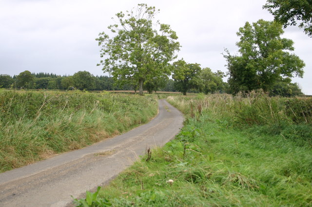
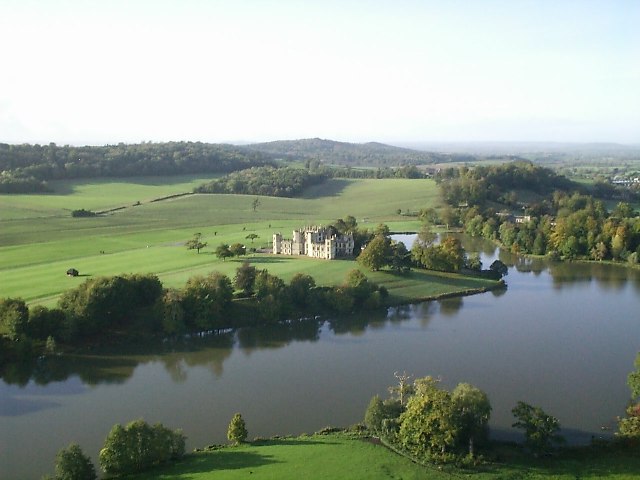
Coach Hill Wood Images
Images are sourced within 2km of 50.94134/-2.4591436 or Grid Reference ST6715. Thanks to Geograph Open Source API. All images are credited.


Coach Hill Wood is located at Grid Ref: ST6715 (Lat: 50.94134, Lng: -2.4591436)
Unitary Authority: Dorset
Police Authority: Dorset
What 3 Words
///future.porridge.ideas. Near Milborne Port, Somerset
Nearby Locations
Related Wikis

Haydon, Dorset
Haydon is a village and civil parish 16 miles (26 km) north of Dorchester, in the Dorset district, in the county of Dorset, England. In 2001 the parish...

Goathill
Goathill is a village and civil parish in the county of Dorset in England, situated in northern Dorset, a couple of miles east of the town of Sherborne...

Goathill Quarry
Goathill Quarry (grid reference ST671175) is a 0.3 hectare geological Site of Special Scientific Interest near Goathill in Dorset, England, notified in...
Castleton, Dorset
Castleton is a civil parish in the English county of Dorset. The parish virtually encircles the town of Sherborne, and contains within its boundary both...
Nearby Amenities
Located within 500m of 50.94134,-2.4591436Have you been to Coach Hill Wood?
Leave your review of Coach Hill Wood below (or comments, questions and feedback).