Hook Street Covert
Wood, Forest in Gloucestershire Stroud
England
Hook Street Covert
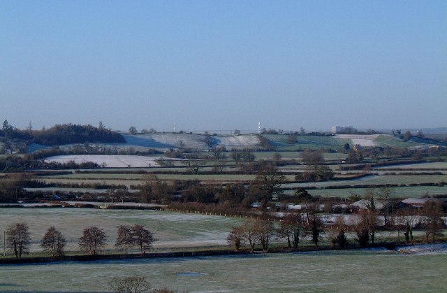
Hook Street Covert is a picturesque woodland located in Gloucestershire, England. Situated in the heart of the Forest of Dean, this area is renowned for its natural beauty and rich biodiversity. The woodland covers a vast expanse, providing a haven for a variety of flora and fauna.
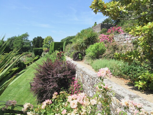
The dense canopy of Hook Street Covert is predominantly comprised of native broadleaf trees such as oak, beech, and ash. These towering giants create a serene and shady atmosphere, making it a perfect spot for nature enthusiasts and hikers seeking respite from the sun. The forest floor is adorned with a carpet of ferns, wildflowers, and mosses, adding a touch of vibrancy to the green landscape.
The woodland is home to a diverse range of wildlife, including several species of birds such as woodpeckers, owls, and thrushes. Small mammals like foxes, badgers, and squirrels can also be spotted scurrying through the undergrowth. Visitors may even catch a glimpse of the elusive deer that roam freely in the area.
Hook Street Covert offers various walking trails, allowing visitors to explore its hidden treasures. These paths wind through the woods, passing babbling brooks, ancient trees, and tranquil ponds. The peaceful ambiance makes it an ideal location for birdwatching, photography, or simply enjoying a peaceful picnic amidst nature.
Overall, Hook Street Covert is a captivating woodland that showcases the beauty of the Gloucestershire countryside. It provides a tranquil escape from the hustle and bustle of everyday life, inviting visitors to immerse themselves in the wonders of the natural world.
If you have any feedback on the listing, please let us know in the comments section below.
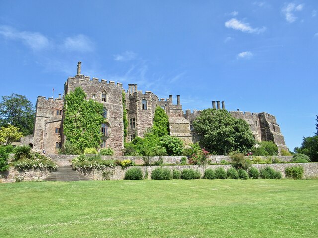
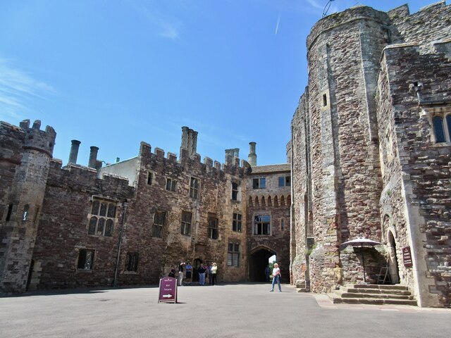
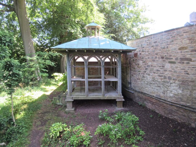
Hook Street Covert Images
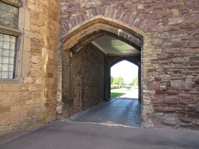
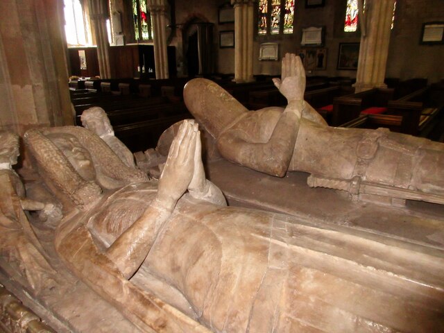
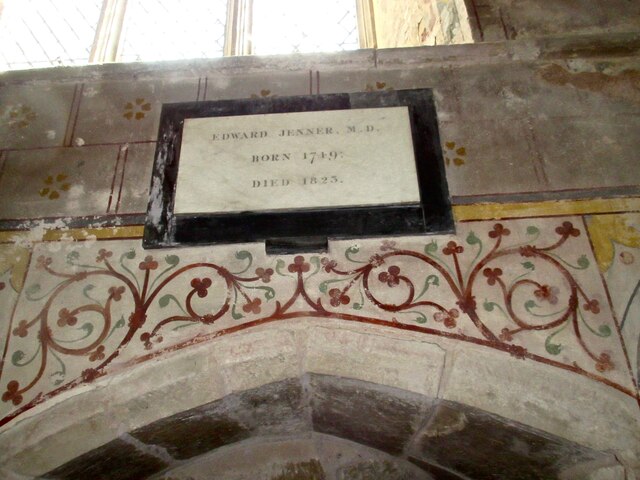
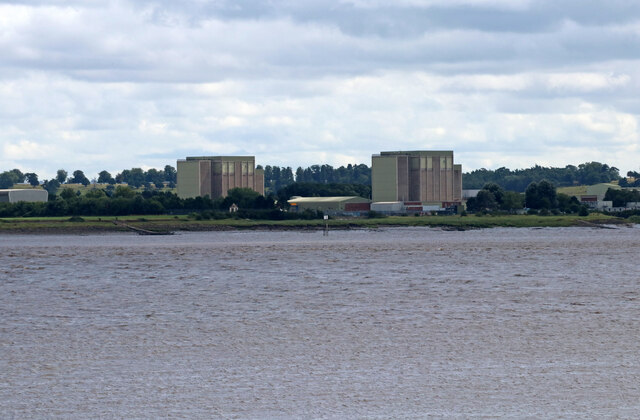
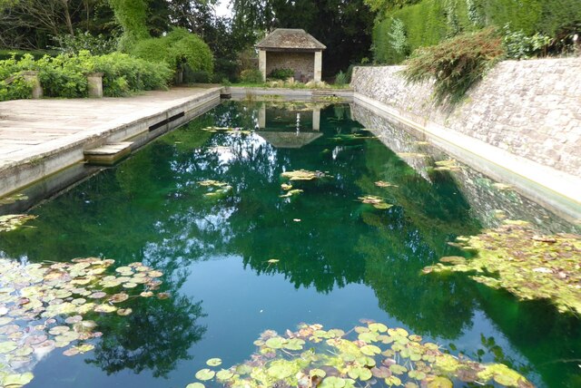
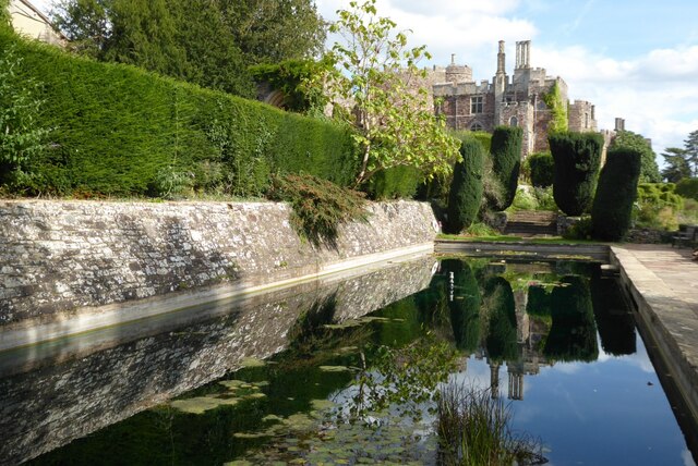
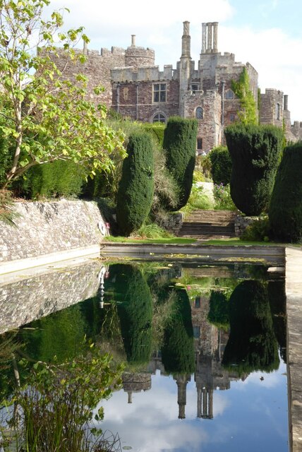
Images are sourced within 2km of 51.696496/-2.4667928 or Grid Reference ST6799. Thanks to Geograph Open Source API. All images are credited.

Hook Street Covert is located at Grid Ref: ST6799 (Lat: 51.696496, Lng: -2.4667928)
Administrative County: Gloucestershire
District: Stroud
Police Authority: Gloucestershire
What 3 Words
///books.consoles.exporters. Near Berkeley, Gloucestershire
Nearby Locations
Related Wikis

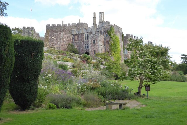
Berkeley Town Hall
Berkeley Town Hall is a municipal building in Salter Street, Berkeley, Gloucestershire, England. The structure, which is now used as a community events...
Berkeley, Gloucestershire
Berkeley ( BARK-lee) is a market town and civil parish in the Stroud District in Gloucestershire, England. It lies in the Vale of Berkeley between the...

Berkeley railway station
Berkeley railway station served the town of Berkeley in Gloucestershire, England. The station was on the Sharpness Branch Line, part of the Midland Railway...

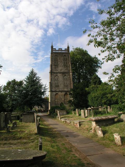
St Mary's Church, Berkeley
The Church of St Mary the Virgin is an Anglican church in Berkeley, Gloucestershire, England, and in the Diocese of Gloucester. The building is Grade I...
Nearby Amenities
Located within 500m of 51.696496,-2.4667928Have you been to Hook Street Covert?
Leave your review of Hook Street Covert below (or comments, questions and feedback).