Ardchyle
Settlement in Perthshire
Scotland
Ardchyle
Ardchyle is a small village located in the county of Perthshire, Scotland. Nestled in the heart of the picturesque Trossachs National Park, it is surrounded by breathtaking natural beauty. The village is situated on the banks of Loch Ard, offering stunning views of the tranquil waters and the lush green hills that envelop the area.
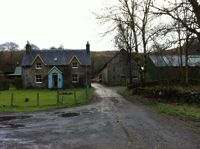
The history of Ardchyle dates back centuries, with evidence of human settlement in the region since ancient times. The village is known for its rich heritage and is home to several notable landmarks. One such landmark is Ardchyle House, a historic mansion that dates back to the 18th century. This impressive building is a fine example of Scottish architecture and adds to the charm and character of the village.
Ardchyle is a haven for outdoor enthusiasts, with a plethora of activities on offer. The surrounding area provides ample opportunities for hiking, cycling, fishing, and wildlife spotting. The nearby forests and hills are a haven for nature lovers, with an abundance of flora and fauna to discover.
Despite its small size, Ardchyle boasts a close-knit community that takes pride in its village. The locals are known for their warm hospitality and welcoming nature, making visitors feel right at home. The village also has a few amenities, including a local pub and a small convenience store, catering to the needs of both residents and tourists.
In conclusion, Ardchyle is a charming village located in the heart of the Trossachs National Park. With its stunning natural surroundings, rich history, and friendly community, it offers a peaceful retreat for those seeking a tranquil escape in the beautiful Scottish countryside.
If you have any feedback on the listing, please let us know in the comments section below.
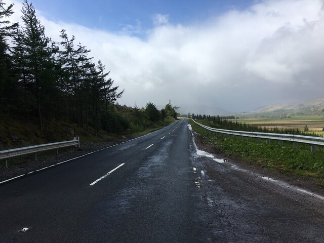
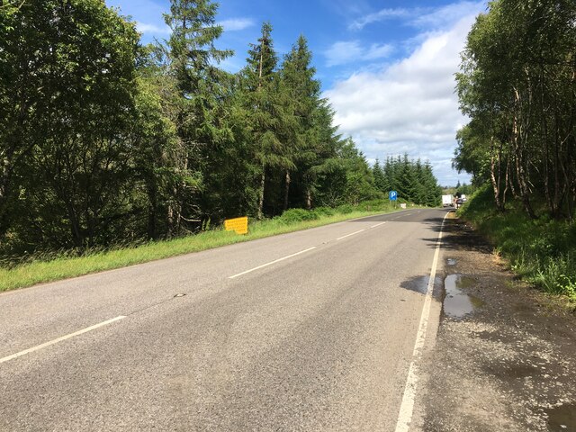
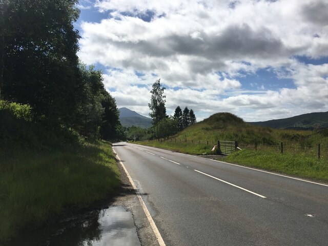
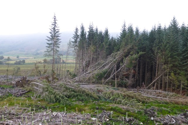
Ardchyle Images
Images are sourced within 2km of 56.430382/-4.39165 or Grid Reference NN5229. Thanks to Geograph Open Source API. All images are credited.


Ardchyle is located at Grid Ref: NN5229 (Lat: 56.430382, Lng: -4.39165)
Unitary Authority: Stirling
Police Authority: Forth Valley
What 3 Words
///move.rephrase.wicket. Near Pubil, Perth & Kinross
Nearby Locations
Related Wikis

Ardchyle
Ardchyle is a small hamlet in Stirling, Scotland. The Glendhu viaduct, just south of Ardchyle, was built for the now disused section of the Callander and...

Killin Junction railway station
Killin Junction was a railway station located in Glen Dochart, Stirling (district) close to where the road from Glen Ogle joins the Crianlarich to Killin...
Auchlyne
Auchlyne (Scottish Gaelic: Achadh Loinne) is a small hamlet in Stirling, Scotland. It is located approximately five miles west of Killin on Loch Tay, off...

Glen Dochart
Glen Dochart (Scottish Gaelic: Gleann Dochard) in Perthshire, Scottish Highlands is a glen which runs from Crianlarich eastwards to Killin, following the...
Nearby Amenities
Located within 500m of 56.430382,-4.39165Have you been to Ardchyle?
Leave your review of Ardchyle below (or comments, questions and feedback).