Armridding Wood

Wood, Forest in Lancashire Ribble Valley

England

Armridding Wood

Looking towards Head of Moor The road to the right leads to Chipping.
Looking towards Head of Moor Credit: Phil and Juliette Platt

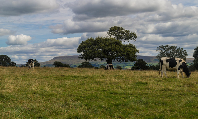
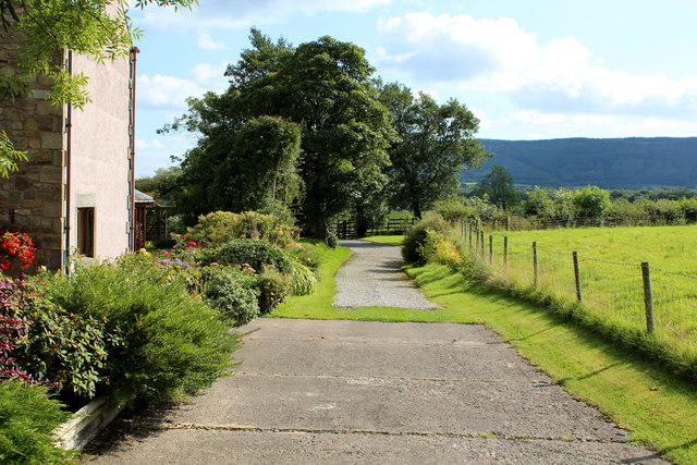
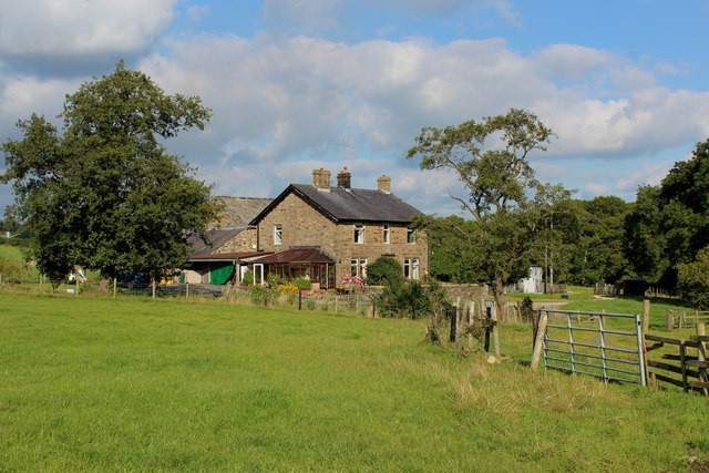
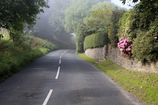
Armridding Wood is a picturesque woodland located in the county of Lancashire, England. Nestled in the heart of the countryside, this enchanting forest covers an area of approximately 100 acres, making it a popular destination for nature lovers and outdoor enthusiasts alike.

The wood is characterized by its diverse range of trees, including oak, beech, and birch, which create a stunning display of colors throughout the seasons. In spring, the forest floor is carpeted with vibrant bluebells and wildflowers, while in autumn, the trees transform into a fiery palette of reds, oranges, and yellows.

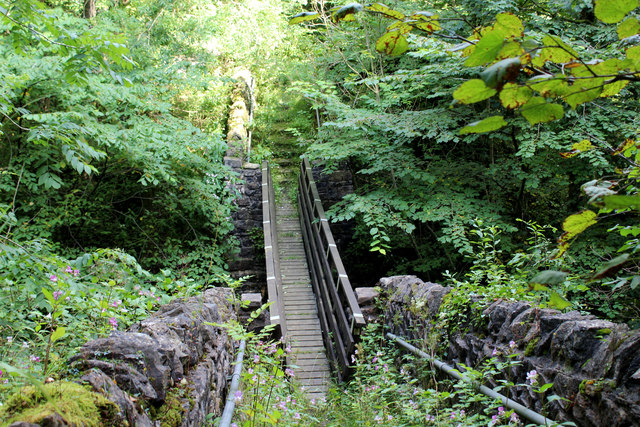
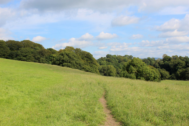
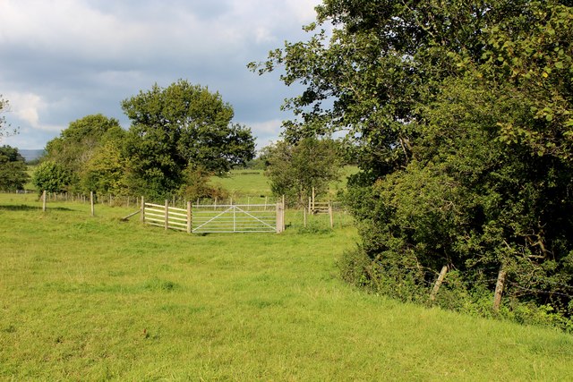
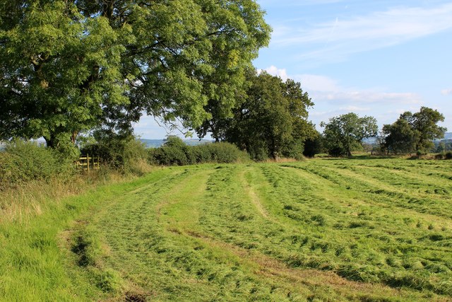
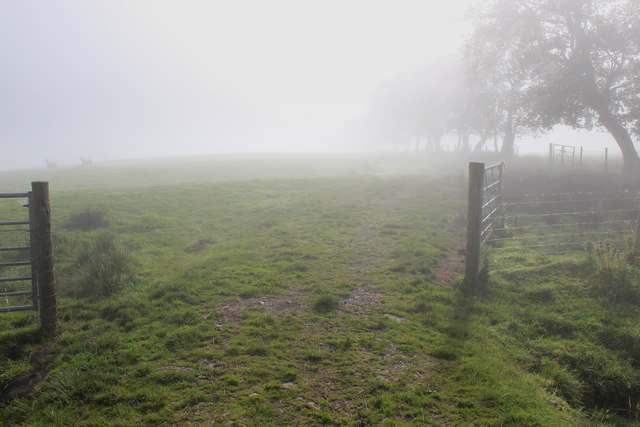
The woodland is crisscrossed by a network of well-maintained trails, providing visitors with the opportunity to explore its beauty on foot. As you wander through the woods, you may encounter various wildlife species such as deer, foxes, and a wide variety of bird species, making it a fantastic spot for birdwatching.

Armridding Wood is not only a haven for nature enthusiasts but also a site of historical significance. The wood is believed to have been part of a larger medieval hunting forest and still retains some remnants of its ancient past.

For those seeking a peaceful retreat amidst nature, Armridding Wood offers a tranquil and serene atmosphere. Whether you choose to hike through the woodland, have a picnic in one of the clearings, or simply sit and enjoy the sounds of nature, this Lancashire gem promises a rejuvenating experience for all who visit.

If you have any feedback on the listing, please let us know in the comments section below.

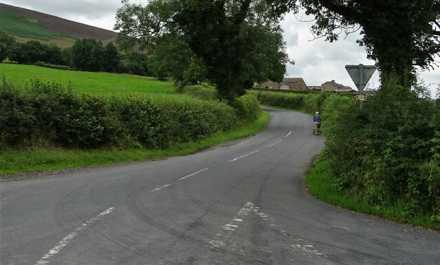
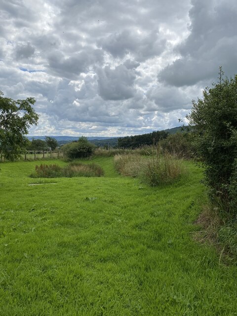
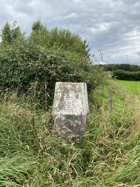
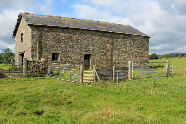
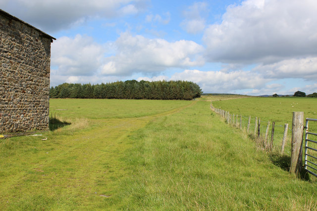
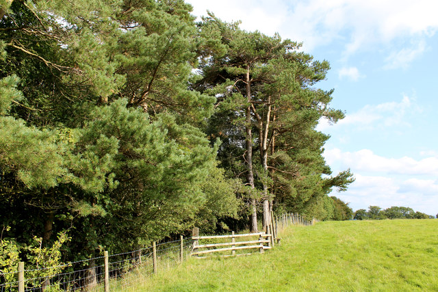
Armridding Wood Images

Images are sourced within 2km of 53.881923/-2.4958973 or Grid Reference SD6742. Thanks to Geograph Open Source API. All images are credited.

Looking towards Head of Moor The road to the right leads to Chipping.
Looking towards Head of Moor
The road to the right leads to Chipping.
Memorial Plaque - Dorothea Margaret Worsley-Taylor
Memorial Garden for Dorothea Margaret Worsley-Taylor
Bashall Eaves Trig Point Flush Bracket S4682
Bashall Eaves Farmland near Bashall Eaves.
Bashall Eaves
Farmland near Bashall Eaves.
Kinder Barn Substantial, but isolated stone barn between Lees House Farm and Mickelhurst Farm in the Hodder Valley.
Kinder Barn
Substantial, but isolated stone barn between Lees House Farm and Mickelhurst Farm in the Hodder Valley.
Green Track leading towards Mickelhurst Farm Public footpath, beside Kinder Barn heading north west towards Mickelhurst Farm
Green Track leading towards Mickelhurst Farm
Public footpath, beside Kinder Barn heading north west towards Mickelhurst Farm
Footpath leading into Limes Wood Once over the stile, the footpath plunges steeply down into the woods to cross a stream.
Footpath leading into Limes Wood
Once over the stile, the footpath plunges steeply down into the woods to cross a stream.
Leaving Lees House Farm A track leads south east beside Limes Wood
Leaving Lees House Farm
A track leads south east beside Limes Wood
Footbridge in Limes Wood The footbridge spans a deep chasm that contains a rushing stream - the content is the result of the merging of Cow Ark Brook and Mill Brook.
The bridge is substantial, but the footpath is crumbling into decay and is hard to follow as it is smothered in vegetation.
Footbridge in Limes Wood
The footbridge spans a deep chasm that contains a rushing stream - the content is the result of the merging of Cow Ark Brook and Mill Brook. The bridge is substantial, but the footpath is crumbling into decay and is hard to follow as it is smothered in vegetation.
Footpath heading towards Paper Mill Wood The footpath leaving Limes Wood is hard to follow, not being very evident on the ground and no indicating signage.  It only appears in physical form at this point, before submerging into grass.
Footpath heading towards Paper Mill Wood
The footpath leaving Limes Wood is hard to follow, not being very evident on the ground and no indicating signage. It only appears in physical form at this point, before submerging into grass.
River Hodder in Paper Mill Wood The river in a particularly pleasant setting - but the footpath I was following completely disappeared and progress through the woods is almost impossible due to the extreme steep sided nature of the terrain.
No footpath signs were in evidence, although I found a battered stile which was beyond useless.
River Hodder in Paper Mill Wood
The river in a particularly pleasant setting - but the footpath I was following completely disappeared and progress through the woods is almost impossible due to the extreme steep sided nature of the terrain. No footpath signs were in evidence, although I found a battered stile which was beyond useless.
Buck Thorn Marked on the definintive map a Buck Thorn.  A faded sign on the premises, however, indicated this establishment as Thornbuck House
Buck Thorn
Marked on the definintive map a Buck Thorn. A faded sign on the premises, however, indicated this establishment as Thornbuck House
Beside Agden Wood Country scene between Aigden and Horse Hey Farms
Beside Agden Wood
Country scene between Aigden and Horse Hey Farms
Field at Lower Tittherington A public footpath follows the field boundary, en route to reach the access lane from Horse Hey Farm
Field at Lower Tittherington
A public footpath follows the field boundary, en route to reach the access lane from Horse Hey Farm
Road junction at Middle Lees
Mist on the Northern Flanks of Longridge Fell Following a footpath through pastures on the northern flanks of Longridge Fell
Mist on the Northern Flanks of Longridge Fell
Following a footpath through pastures on the northern flanks of Longridge Fell
Road outside Bull Hill Section of the road between Clitheroe and Chipping - at the northern foot of Longridge Fell.
Road outside Bull Hill
Section of the road between Clitheroe and Chipping - at the northern foot of Longridge Fell.
Show me another place!

Armridding Wood is located at Grid Ref: SD6742 (Lat: 53.881923, Lng: -2.4958973)

Administrative County: Lancashire

District: Ribble Valley

Police Authority: Lancashire

What 3 Words

///balanced.dressings.windmills. Near Waddington, Lancashire

Related Wikis

Higher Lees Farmhouse

Higher Lees Farmhouse is an historic building in the English parish of Bowland Forest Low, Lancashire. It is Grade II listed, built around 1780, and is...

Bashall Eaves

Bashall Eaves is a village and civil parish in the Ribble Valley district of Lancashire, England, about four miles (6 km) west of Clitheroe. The placename...

Cow Ark Farmhouse

Cow Ark Farmhouse is a historic building in the English parish of Bowland Forest Low, Lancashire. It is Grade II listed, built around 1780, and is a sandstone...

Lower Lees Farmhouse

Lower Lees Farmhouse is a historic building in the English parish of Bowland Forest Low, Lancashire. It is Grade II listed, built in 1678, and is a sandstone...

Browsholme Hall

Browsholme Hall is a privately owned Tudor house in the parish of Bowland Forest Low in the borough of Ribble Valley, Lancashire (although historically...
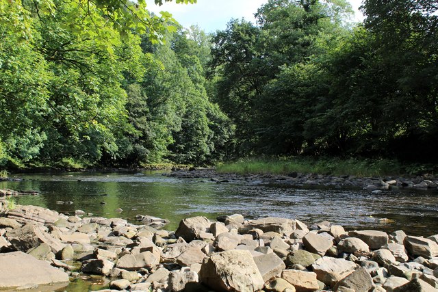
River Loud

The River Loud is a river of Lancashire, England. Starting out on Parlick, the Loud meanders mainly through the parish of Chipping, tracing its course...

Longridge Fell

Longridge Fell is the most southerly fell in England, near the town of Longridge, Lancashire. It lies at the southern end of the Forest of Bowland Area...

Bowland Forest Low

Bowland Forest Low is a civil parish in the Ribble Valley district of Lancashire, England, covering some 5,500 acres (22 km2) of the Forest of Bowland...

Nearby Amenities

Located within 500m of 53.881923,-2.4958973
tumulus ?
Historic: archaeological_site
Source: OS 1:25k
Lat/Long: 53.8808322/-2.4931229
Man Made: manhole
Manhole: water
Lat/Long: 53.8845747/-2.4987924
The data included in this document is from www.openstreetmap.org. The data is made available under ODbL.

Have you been to Armridding Wood?

Leave your review of Armridding Wood below (or comments, questions and feedback).