Primrose Wood
Wood, Forest in Lancashire Ribble Valley
England
Primrose Wood
Primrose Wood, located in Lancashire, is a serene and enchanting forest that showcases the natural beauty of the region. This woodland area spans over several acres and is renowned for its diverse flora and fauna, making it a popular destination for nature enthusiasts and hikers.
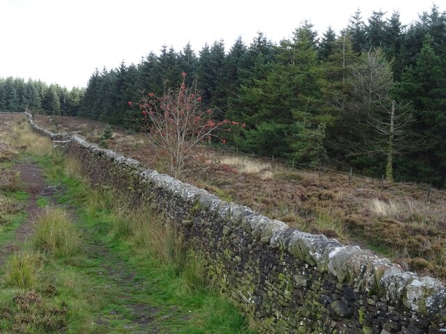
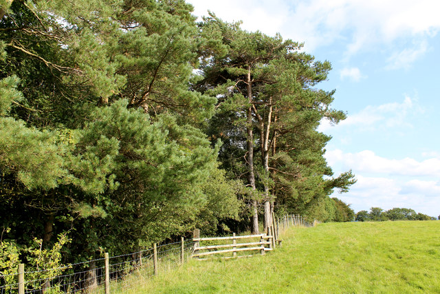
The wood is characterized by its dense canopy of towering trees that provide ample shade and create a tranquil atmosphere. Oak, beech, and ash trees dominate the landscape, their branches intertwining to form a picturesque scene. This rich variety of trees supports a thriving ecosystem and provides a habitat for numerous bird species, including woodpeckers, owls, and songbirds.
Primrose Wood is also home to an array of vibrant wildflowers, which burst into bloom during the spring and summer months. The forest floor is adorned with a carpet of colorful primroses, bluebells, and daffodils, creating a breathtaking sight. This abundance of wildflowers attracts a multitude of butterflies and insects, adding to the area's natural splendor.
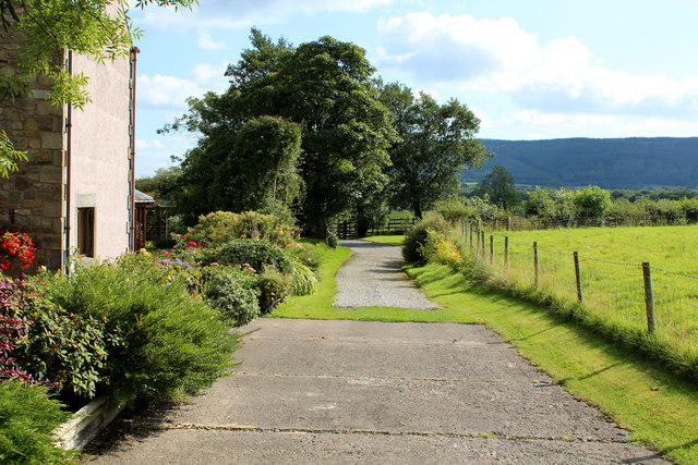
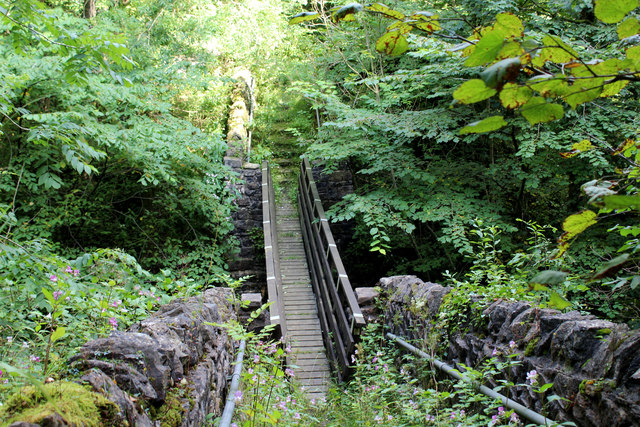
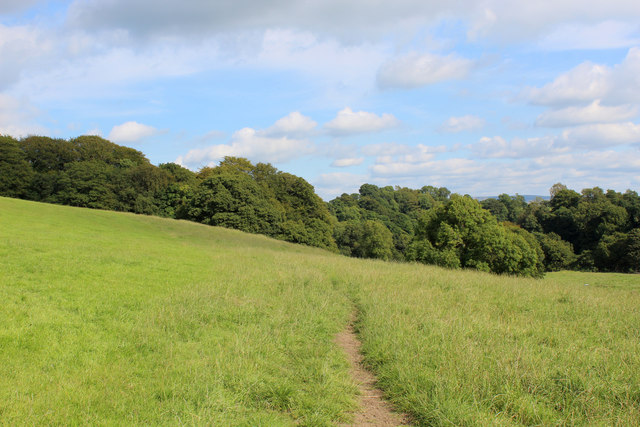
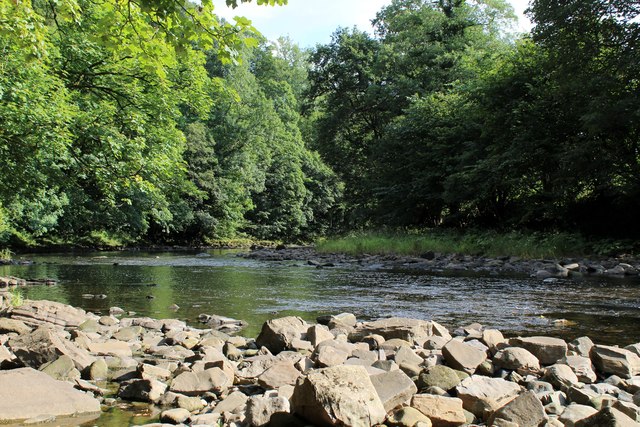
Several well-maintained trails wind through the wood, offering visitors the opportunity to explore its beauty at their leisure. These paths lead to hidden glades and peaceful clearings, where one can sit and appreciate the tranquility of the surroundings. The wood is also intersected by a gently flowing stream, adding to its idyllic charm.
In addition to its natural allure, Primrose Wood offers educational programs and guided tours for visitors of all ages. These initiatives aim to raise awareness about the importance of conservation and the preservation of the wood's delicate ecosystem.
Overall, Primrose Wood is a captivating destination that showcases Lancashire's natural heritage. Whether it's for a leisurely stroll, birdwatching, or simply basking in the serenity of nature, this forest offers a memorable experience for all who visit.
If you have any feedback on the listing, please let us know in the comments section below.
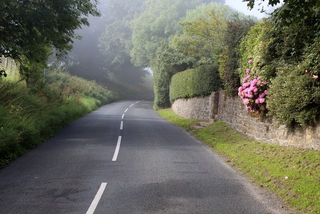
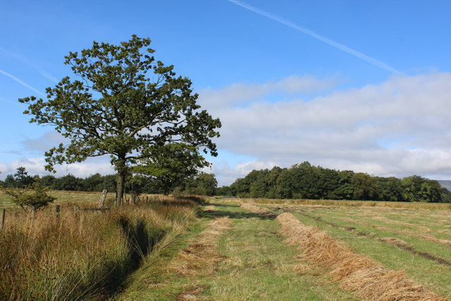
Primrose Wood Images
Images are sourced within 2km of 53.878464/-2.5020472 or Grid Reference SD6742. Thanks to Geograph Open Source API. All images are credited.


Primrose Wood is located at Grid Ref: SD6742 (Lat: 53.878464, Lng: -2.5020472)
Administrative County: Lancashire
District: Ribble Valley
Police Authority: Lancashire
What 3 Words
///waxes.devotion.landowner. Near Waddington, Lancashire
Nearby Locations
Related Wikis

Longridge Fell
Longridge Fell is the most southerly fell in England, near the town of Longridge, Lancashire. It lies at the southern end of the Forest of Bowland Area...

River Loud
The River Loud is a river of Lancashire, England. Starting out on Parlick, the Loud meanders mainly through the parish of Chipping, tracing its course...

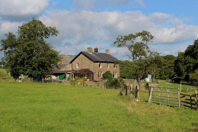
Higher Lees Farmhouse
Higher Lees Farmhouse is an historic building in the English parish of Bowland Forest Low, Lancashire. It is Grade II listed, built around 1780, and is...

Lower Lees Farmhouse
Lower Lees Farmhouse is a historic building in the English parish of Bowland Forest Low, Lancashire. It is Grade II listed, built in 1678, and is a sandstone...
Have you been to Primrose Wood?
Leave your review of Primrose Wood below (or comments, questions and feedback).