Hollinhurst Plantation
Wood, Forest in Lancashire
England
Hollinhurst Plantation

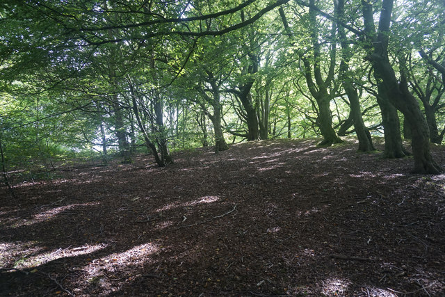
Hollinhurst Plantation is a picturesque woodland area located in Lancashire, England. Stretching across a vast expanse of approximately 200 acres, this enchanting forest is a haven for nature enthusiasts and outdoor adventurers alike.
The plantation is characterized by its dense foliage consisting of a variety of tree species, including oak, beech, and birch. The lush greenery provides a vibrant backdrop throughout the year, with the forest floor carpeted in a blanket of bluebells during springtime.
Traversing through the woodland, visitors can explore a network of well-maintained trails that wind their way through the plantation. These paths cater to individuals of all fitness levels and offer a range of distances, from leisurely strolls to more challenging hikes.
The plantation is home to an abundance of wildlife, including deer, foxes, and numerous bird species. Birdwatchers can spot common woodland inhabitants like woodpeckers and jays, as well as more elusive species such as tawny owls.
Hollinhurst Plantation is also rich in history, with ancient ruins and remnants of old structures scattered throughout the area. The plantation has witnessed centuries of human activity, and it is believed that it was once used for charcoal production during the medieval period.
Overall, Hollinhurst Plantation is a captivating woodland retreat that offers visitors the opportunity to immerse themselves in the tranquility of nature. With its diverse flora and fauna, well-maintained trails, and historical significance, it is a destination that appeals to both nature lovers and history enthusiasts.
If you have any feedback on the listing, please let us know in the comments section below.
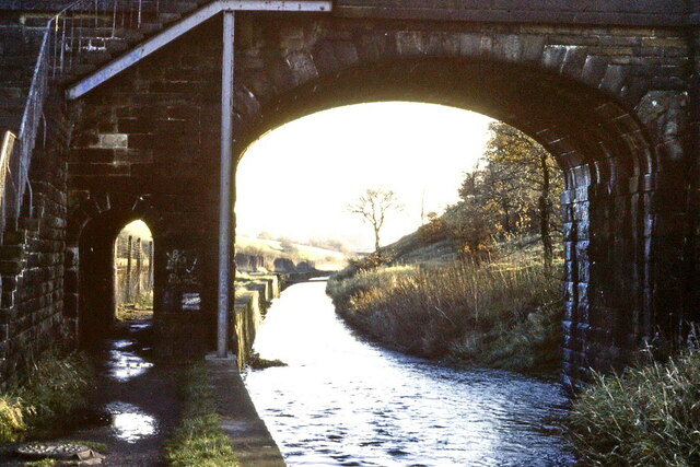
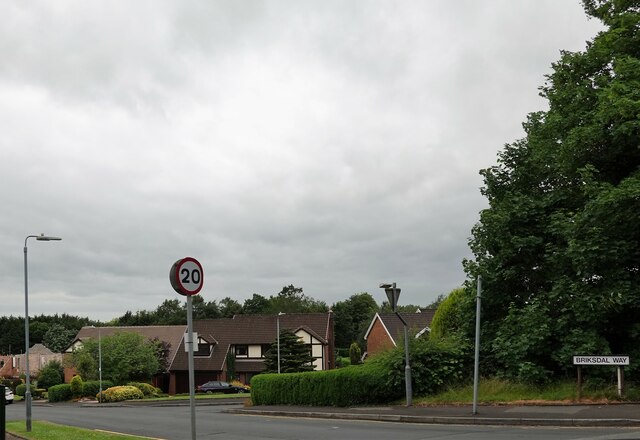
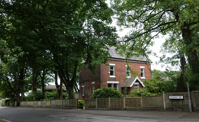
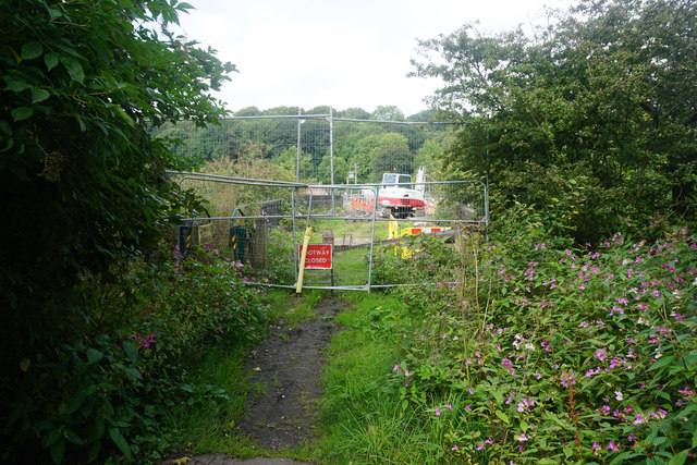
Hollinhurst Plantation Images
Images are sourced within 2km of 53.581469/-2.4953476 or Grid Reference SD6709. Thanks to Geograph Open Source API. All images are credited.


Hollinhurst Plantation is located at Grid Ref: SD6709 (Lat: 53.581469, Lng: -2.4953476)
Unitary Authority: Bolton
Police Authority: Greater Manchester
What 3 Words
///picked.letter.issued. Near Westhoughton, Manchester
Nearby Locations
Related Wikis
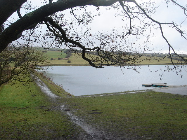
High Rid Reservoir
High Rid Reservoir is a small, stone-sided reservoir close to Lostock Junction. It lies three miles to the west of Bolton town centre, Greater Manchester...
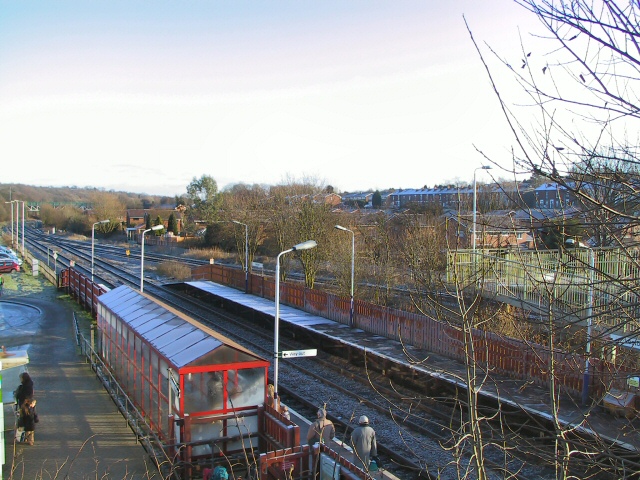
Lostock railway station
Lostock railway station serves the suburbs of Heaton and Lostock in Bolton, Greater Manchester, England. Built for the Liverpool and Bury Railway in 1852...

Lostock Junction Mills
Lostock Junction Mills (also known as Rumworth Mill) were a pair of cotton spinning mills in Lostock, Bolton, England which stood on a narrow stretch...
Markland Hill
Markland Hill is a mostly residential district of Bolton, Greater Manchester, England. Historically within Lancashire, it is about 2.5 miles to the north...
Nearby Amenities
Located within 500m of 53.581469,-2.4953476Have you been to Hollinhurst Plantation?
Leave your review of Hollinhurst Plantation below (or comments, questions and feedback).