Coton

Settlement in Staffordshire Stafford

England

Coton

All Saint's Church, Milwich The first record of a church on this site is dated about 1140. The tower of the present building dates from the late 15th century, although the remainder of the church was rebuilt in the 1790s after the south walls and roof collapsed. The windows and casements look 15th century recycled.  

1857 water colour of the church 
 >> <span class="nowrap"><a title="https://www.search.staffspasttrack.org.uk/Details.aspx?&ResourceID=27995&PageIndex=4&SearchType=2&ThemeID=147" rel="nofollow ugc noopener" href="https://www.search.staffspasttrack.org.uk/Details.aspx?&ResourceID=27995&PageIndex=4&SearchType=2&ThemeID=147">Link</a><img style="margin-left:2px;" alt="External link" title="External link - shift click to open in new window" src="https://s1.geograph.org.uk/img/external.png" width="10" height="10"/></span>
All Saint's Church, Milwich Credit: Brian Deegan

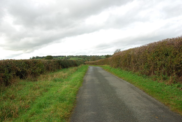
Coton is a small village located in the county of Staffordshire, England. Situated approximately four miles north-west of the town of Tamworth, Coton is nestled within the scenic countryside and offers a tranquil and picturesque setting.

The village is known for its rich history, dating back to medieval times. It is believed that Coton was first settled during the Anglo-Saxon period and has been mentioned in the Domesday Book, a historic record from 1086. The village retains much of its traditional charm, with many old buildings and structures still standing.

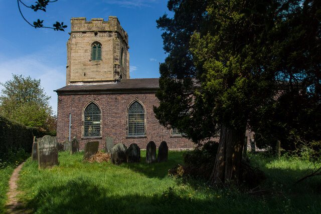
Coton is home to a close-knit community, where residents enjoy a peaceful and rural lifestyle. The village features a quaint church, St. Editha's, which dates back to the 13th century and serves as a focal point for religious and community activities. The surrounding countryside provides ample opportunities for outdoor activities such as walking, cycling, and horse riding.

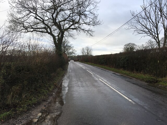
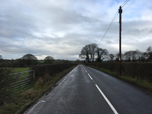
Although Coton is a small village, it benefits from its proximity to nearby towns and cities. Tamworth, with its range of amenities including shops, schools, and leisure facilities, is easily accessible. The village also benefits from good transport links, with major road networks such as the A5 and M42 motorway nearby, providing connections to Birmingham, Coventry, and beyond.

In conclusion, Coton is a charming village in Staffordshire that offers a peaceful and rural way of life. With its rich history, natural beauty, and convenient location, it is an attractive place to live for those seeking a slower pace of life while remaining within reach of urban amenities.

If you have any feedback on the listing, please let us know in the comments section below.
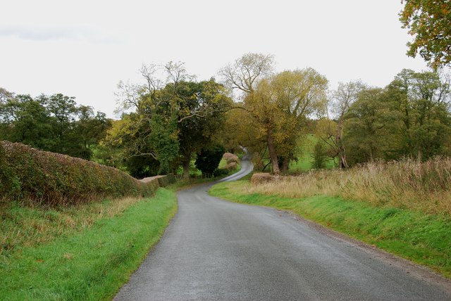
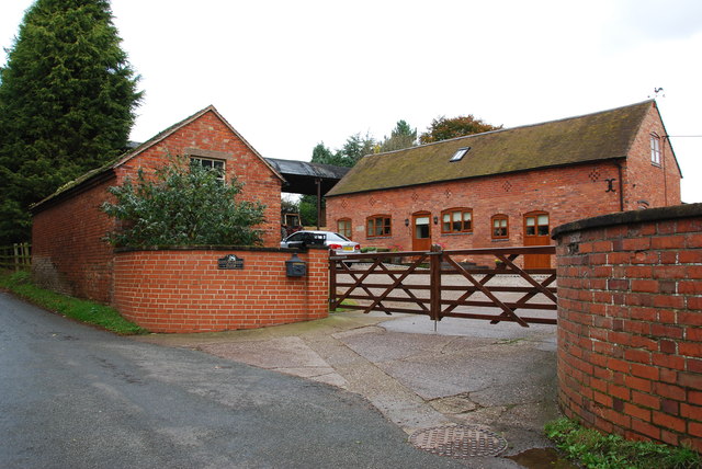
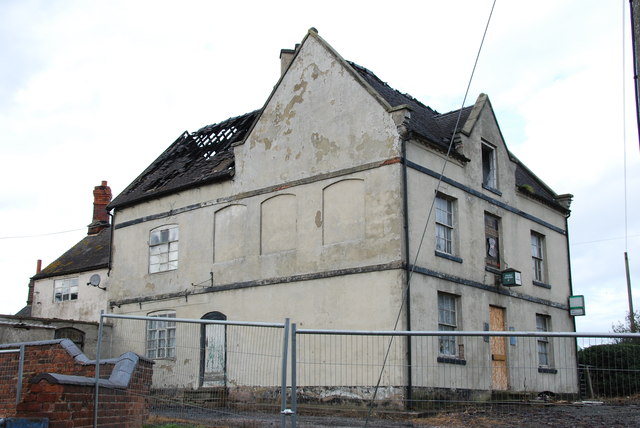
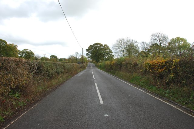
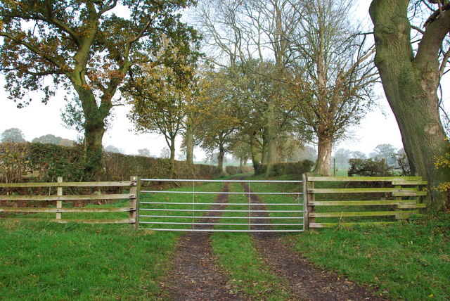
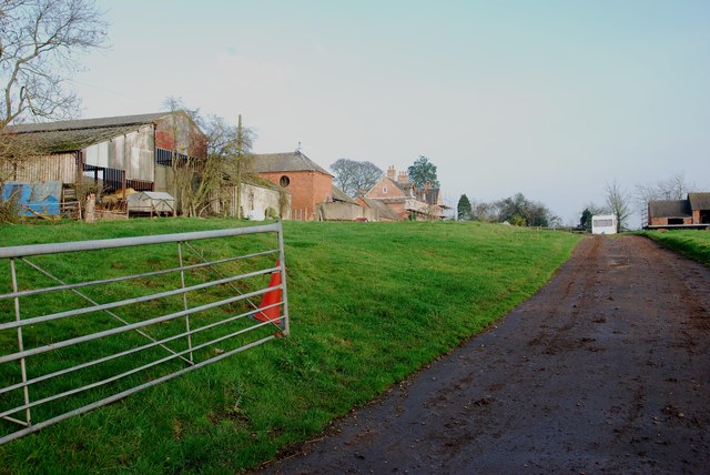
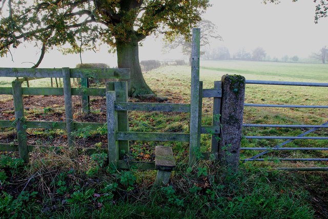
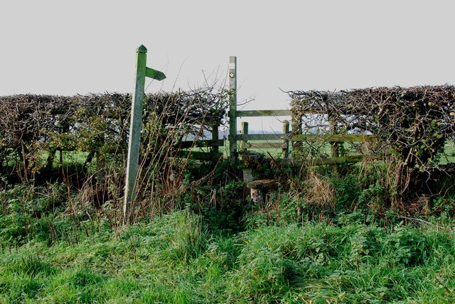
Coton Images

Images are sourced within 2km of 52.884983/-2.032662 or Grid Reference SJ9731. Thanks to Geograph Open Source API. All images are credited.

All Saint's Church, Milwich The first record of a church on this site is dated about 1140. The tower of the present building dates from the late 15th century, although the remainder of the church was rebuilt in the 1790s after the south walls and roof collapsed. The windows and casements look 15th century recycled.  

1857 water colour of the church 
 >> <span class="nowrap"><a title="https://www.search.staffspasttrack.org.uk/Details.aspx?&ResourceID=27995&PageIndex=4&SearchType=2&ThemeID=147" rel="nofollow ugc noopener" href="https://www.search.staffspasttrack.org.uk/Details.aspx?&ResourceID=27995&PageIndex=4&SearchType=2&ThemeID=147">Link</a><img style="margin-left:2px;" alt="External link" title="External link - shift click to open in new window" src="https://s1.geograph.org.uk/img/external.png" width="10" height="10"/></span>
All Saint's Church, Milwich
The first record of a church on this site is dated about 1140. The tower of the present building dates from the late 15th century, although the remainder of the church was rebuilt in the 1790s after the south walls and roof collapsed. The windows and casements look 15th century recycled. 1857 water colour of the church >> LinkExternal link
B5027 near Fradswell
B5027 near Milwich
B5027 near Milwich
Fradswell Village Hall This looks like a first or second world war army hut. Many of these huts were used for similar purposes when they were decommissioned after the wars.
Fradswell Village Hall
This looks like a first or second world war army hut. Many of these huts were used for similar purposes when they were decommissioned after the wars.
The Old Rectory Fradswell The old rectory fradswell has now been turned into a home for the elderly.
The Old Rectory Fradswell
The old rectory fradswell has now been turned into a home for the elderly.
Road Junction to Fradswell Church
Impressive Entrance to Fradswell Hall Farm
The Road from Fradswell to Wallbrook road
Wallbrook  Road as it drops down to the Wall Brook Take a look at the hedges in this photo, they have been cut to perfection.
Wallbrook Road as it drops down to the Wall Brook
Take a look at the hedges in this photo, they have been cut to perfection.
Coton Green Farm, Coton The lovely red brick buildings on this farm look as if they have been converted to housing.
Coton Green Farm, Coton
The lovely red brick buildings on this farm look as if they have been converted to housing.
Burnt out remains of The Wheatsheaf at Coton
House on a Road Junction, Coton Hill The main road on the right is the B5027 Uttoxeter Road,the minor road to the left of the house goes to Stone Heath.
House on a Road Junction, Coton Hill
The main road on the right is the B5027 Uttoxeter Road,the minor road to the left of the house goes to Stone Heath.
Looking East along the B5027 Uttoxeter Road
Farm Track and Footpath This footpath crosses other footpaths on its way towards Fradswell, joining the Wallbrook road at the Hawkins lane junction.     <a title="https://www.geograph.org.uk/photo/2700053" href="https://www.geograph.org.uk/photo/2700053">Link</a>
Farm Track and Footpath
This footpath crosses other footpaths on its way towards Fradswell, joining the Wallbrook road at the Hawkins lane junction. Link
Stone Circles Challenge Footpath near the Gamkeepers cottage The Stone Circles Challenge joins twenty or more walks around the Stone area.   <span class="nowrap"><a title="http://www.bbc.co.uk/stoke/content/articles/2008/07/14/stone_circles_feature.shtml" rel="nofollow ugc noopener" href="http://www.bbc.co.uk/stoke/content/articles/2008/07/14/stone_circles_feature.shtml">Link</a><img style="margin-left:2px;" alt="External link" title="External link - shift click to open in new window" src="https://s1.geograph.org.uk/img/external.png" width="10" height="10"/></span>
Stone Circles Challenge Footpath near the Gamkeepers cottage
The Stone Circles Challenge joins twenty or more walks around the Stone area. LinkExternal link
The Doglands Farm  near Fradswell
The Doglands Farm near Fradswell
Footpath with Stile on the Wallbrook Road near Fradswell This Footpath leads to the Stone Circles Challenge Footpath.       <a title="https://www.geograph.org.uk/photo/2698679" href="https://www.geograph.org.uk/photo/2698679">Link</a>       <a title="https://www.geograph.org.uk/photo/2698694" href="https://www.geograph.org.uk/photo/2698694">Link</a>
Footpath with Stile on the Wallbrook Road near Fradswell
This Footpath leads to the Stone Circles Challenge Footpath. Link Link
Short Footpath at Coton This footpath only cuts the corner off the field.
Short Footpath at Coton
This footpath only cuts the corner off the field.
Show me another place!

Coton is located at Grid Ref: SJ9731 (Lat: 52.884983, Lng: -2.032662)

Administrative County: Staffordshire

District: Stafford

Police Authority: Staffordshire

What 3 Words

///regret.tweed.united. Near Stone, Staffordshire

Nearby Locations

Coton

Related Wikis

Coton Hill, Staffordshire

Coton Hill is a hamlet in the English county of Staffordshire. Coton Hill is located east of the village of Milwich on the B5027 road between Stone and...

Milwich

Milwich is a village and a civil parish in the English county of Staffordshire. == Location == The village is 7.8 miles (12.6 km) north east of the town...

Fradswell

Fradswell is a village in Staffordshire, England, approximately 7 miles (10 km) north-east of the town of Stafford and 7 miles (11 km) north of Colwich...

Gayton, Staffordshire

Gayton is a small rural village and civil parish in Staffordshire, located approximately 1 mile from the A51 between Stone and Stafford. In 2001 it had...

Sandon Hall

Sandon Hall is a 19th-century country mansion, the seat of the Earl of Harrowby, at Sandon, Staffordshire, 5 miles (8.0 km) northeast of Stafford. It is...

Sandon, Staffordshire

Sandon is a village in the civil parish of Sandon and Burston, in the Stafford district, in the county of Staffordshire, England. It is about 4.5 miles...

Hilderstone

Hilderstone is a village and a civil parish in the English county of Staffordshire. == Location == The village is 8.6 miles (13.8 km) north of the town...

Sandon railway station

Sandon railway station was a railway station opened by the North Staffordshire Railway to serve the village of Sandon, Staffordshire, England. For some...

Nearby Amenities

Located within 500m of 52.884983,-2.032662
Disused: very
Old Amenity: pub
Old Name: Wheatsheaf
Source: survey
Lat/Long: 52.8857482/-2.032492
Post Box
Brand: Royal Mail
Brand Wikidata: Q638098
Operator: Royal Mail
Operator Wikidata: Q638098
Post Box Type: wall
Ref: ST18 234D
Royal Cypher: VR
Royal Cypher Wikidata: Q33102356
Lat/Long: 52.8857197/-2.031996
The data included in this document is from www.openstreetmap.org. The data is made available under ODbL.

Have you been to Coton?

Leave your review of Coton below (or comments, questions and feedback).