Coton

Settlement in Staffordshire Stafford

England

Coton

Plardiwick Bridge, Shropshire Union Canal Erected around 1830 as an agricultural accommodation bridge, and Grade II listed <span class="nowrap"><a title="https://britishlistedbuildings.co.uk/101273080-plardiwick-bridge-no-36-at-sj-815-206-gnosall#.YS5APo5KjIU" rel="nofollow ugc noopener" href="https://britishlistedbuildings.co.uk/101273080-plardiwick-bridge-no-36-at-sj-815-206-gnosall#.YS5APo5KjIU">Link</a><img style="margin-left:2px;" alt="External link" title="External link - shift click to open in new window" src="https://s1.geograph.org.uk/img/external.png" width="10" height="10"/></span> & <span class="nowrap"><a title="https://historicengland.org.uk/listing/the-list/list-entry/1273080" rel="nofollow ugc noopener" href="https://historicengland.org.uk/listing/the-list/list-entry/1273080">Link</a><img style="margin-left:2px;" alt="External link" title="External link - shift click to open in new window" src="https://s1.geograph.org.uk/img/external.png" width="10" height="10"/></span> in Oct 1991.
Plardiwick Bridge, Shropshire Union Canal Credit: Richard Law

Coton is a small village located in the county of Staffordshire, England. Situated on the outskirts of the town of Tamworth, Coton is a predominantly rural area with a population of around 1,500 residents.

The village is nestled in the picturesque countryside of Staffordshire, characterized by rolling hills, open fields, and charming farmland. It offers a peaceful and tranquil setting, making it an ideal place for those seeking a quiet and idyllic lifestyle.

Coton is known for its close-knit community, where residents often come together for various social events and activities. The village has a community center, a local pub, and a primary school, providing essential amenities and services to its residents.

Nature enthusiasts will appreciate the beautiful natural surroundings of Coton. The village is surrounded by stunning countryside, dotted with walking trails and cycling routes, perfect for outdoor enthusiasts to explore and enjoy. It also offers easy access to nearby attractions such as the National Forest, Drayton Manor Theme Park, and the historic Tamworth Castle.

Despite its rural setting, Coton benefits from its close proximity to Tamworth, which provides additional amenities and facilities. Tamworth offers a wider range of shops, restaurants, and leisure activities, ensuring that residents have access to everything they need within a short distance.

In summary, Coton is a charming village in Staffordshire that offers a peaceful and rural lifestyle. With its beautiful natural surroundings, close-knit community, and convenient access to nearby amenities, it is an attractive destination for those seeking a tranquil and idyllic place to call home.

If you have any feedback on the listing, please let us know in the comments section below.
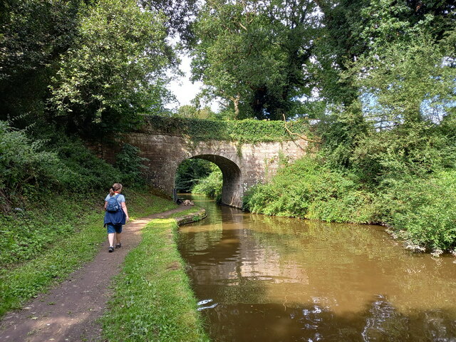
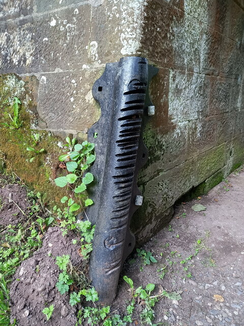
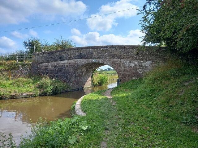
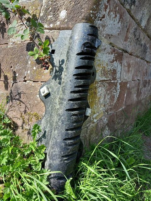
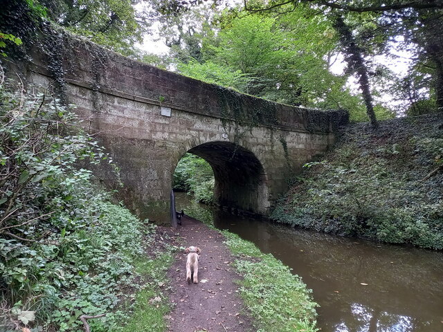
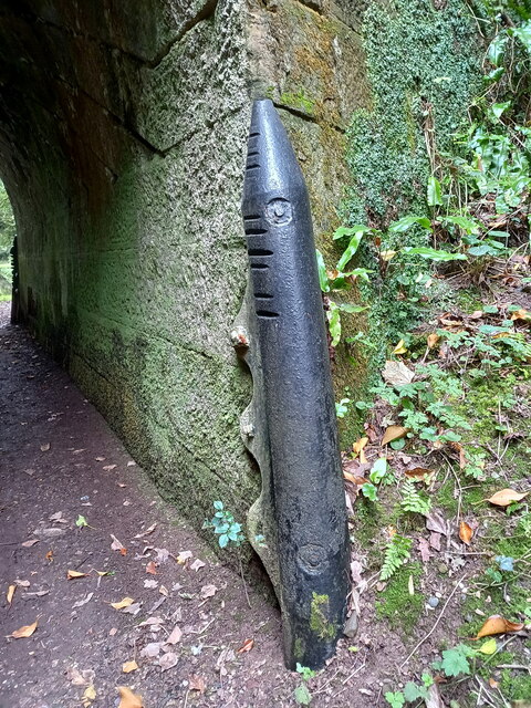
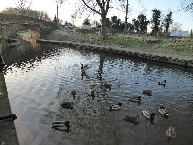
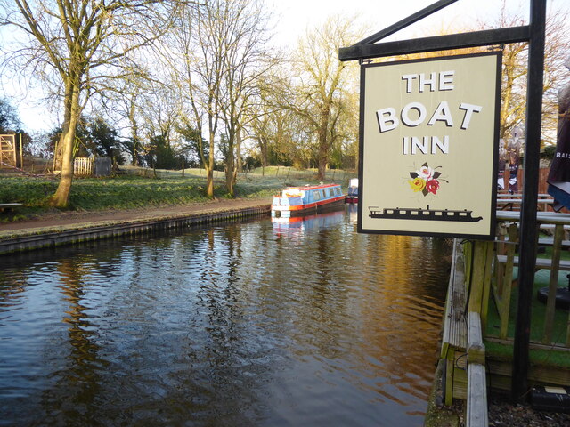
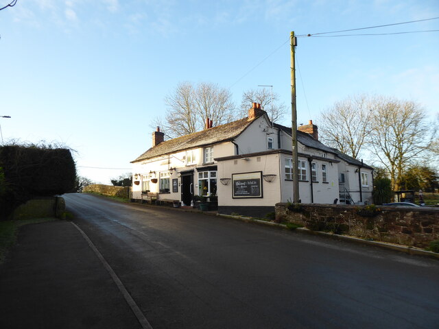
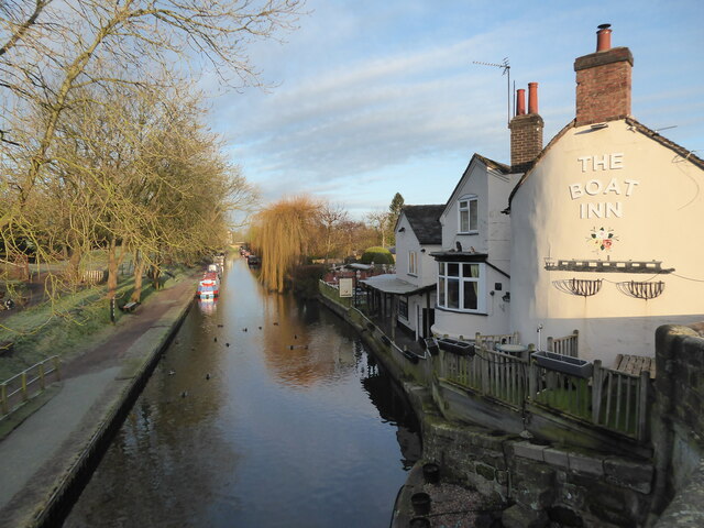
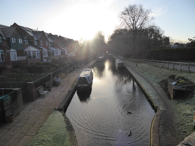
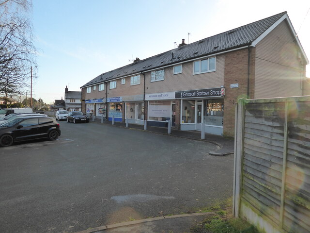
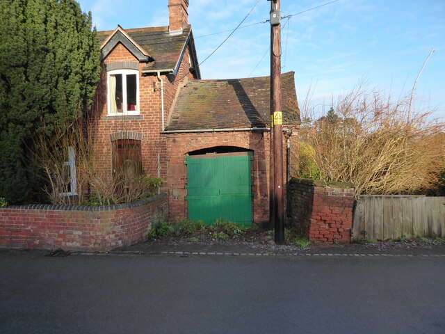
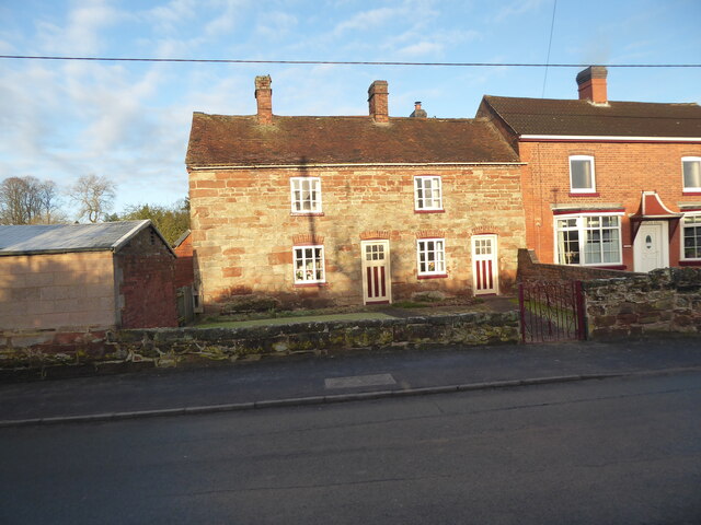
Coton Images

Images are sourced within 2km of 52.779489/-2.275718 or Grid Reference SJ8120. Thanks to Geograph Open Source API. All images are credited.

Plardiwick Bridge, Shropshire Union Canal Erected around 1830 as an agricultural accommodation bridge, and Grade II listed <span class="nowrap"><a title="https://britishlistedbuildings.co.uk/101273080-plardiwick-bridge-no-36-at-sj-815-206-gnosall#.YS5APo5KjIU" rel="nofollow ugc noopener" href="https://britishlistedbuildings.co.uk/101273080-plardiwick-bridge-no-36-at-sj-815-206-gnosall#.YS5APo5KjIU">Link</a><img style="margin-left:2px;" alt="External link" title="External link - shift click to open in new window" src="https://s1.geograph.org.uk/img/external.png" width="10" height="10"/></span> & <span class="nowrap"><a title="https://historicengland.org.uk/listing/the-list/list-entry/1273080" rel="nofollow ugc noopener" href="https://historicengland.org.uk/listing/the-list/list-entry/1273080">Link</a><img style="margin-left:2px;" alt="External link" title="External link - shift click to open in new window" src="https://s1.geograph.org.uk/img/external.png" width="10" height="10"/></span> in Oct 1991.
Plardiwick Bridge, Shropshire Union Canal
Erected around 1830 as an agricultural accommodation bridge, and Grade II listed LinkExternal link & LinkExternal link in Oct 1991.
Cast iron rope fender at Plardiwick Bridge One of the two well-worn rope fenders on the bridge at Plardiwick. It's included in the Grade II listing that the bridge holds.
Cast iron rope fender at Plardiwick Bridge
One of the two well-worn rope fenders on the bridge at Plardiwick. It's included in the Grade II listing that the bridge holds.
Machin's Barn Bridge at Gnosall Heath Built around 1830 as an accommodation bridge, and Grade II listed <span class="nowrap"><a title="https://britishlistedbuildings.co.uk/101243117-shropshire-union-canal-barn-bridge-number-37-at-sj-809-211-gnosall#.YS5CpI5KjIU" rel="nofollow ugc noopener" href="https://britishlistedbuildings.co.uk/101243117-shropshire-union-canal-barn-bridge-number-37-at-sj-809-211-gnosall#.YS5CpI5KjIU">Link</a><img style="margin-left:2px;" alt="External link" title="External link - shift click to open in new window" src="https://s1.geograph.org.uk/img/external.png" width="10" height="10"/></span> & <span class="nowrap"><a title="https://historicengland.org.uk/listing/the-list/list-entry/1243117" rel="nofollow ugc noopener" href="https://historicengland.org.uk/listing/the-list/list-entry/1243117">Link</a><img style="margin-left:2px;" alt="External link" title="External link - shift click to open in new window" src="https://s1.geograph.org.uk/img/external.png" width="10" height="10"/></span> in October 1991.
Machin's Barn Bridge at Gnosall Heath
Built around 1830 as an accommodation bridge, and Grade II listed LinkExternal link & LinkExternal link in October 1991.
Cast iron rope fender on the wall of Machin's Barn Bridge Scarred and grooved by the passage of many years of horse-drawn barges along the canal, this is one of a pair of cast-iron fenders on the bridge, and is included in the Grade II listing details for the site <span class="nowrap"><a title="https://britishlistedbuildings.co.uk/101243117-shropshire-union-canal-barn-bridge-number-37-at-sj-809-211-gnosall" rel="nofollow ugc noopener" href="https://britishlistedbuildings.co.uk/101243117-shropshire-union-canal-barn-bridge-number-37-at-sj-809-211-gnosall">Link</a><img style="margin-left:2px;" alt="External link" title="External link - shift click to open in new window" src="https://s1.geograph.org.uk/img/external.png" width="10" height="10"/></span> & <span class="nowrap"><a title="https://historicengland.org.uk/listing/the-list/list-entry/1243117" rel="nofollow ugc noopener" href="https://historicengland.org.uk/listing/the-list/list-entry/1243117">Link</a><img style="margin-left:2px;" alt="External link" title="External link - shift click to open in new window" src="https://s1.geograph.org.uk/img/external.png" width="10" height="10"/></span>
Cast iron rope fender on the wall of Machin's Barn Bridge
Scarred and grooved by the passage of many years of horse-drawn barges along the canal, this is one of a pair of cast-iron fenders on the bridge, and is included in the Grade II listing details for the site LinkExternal link & LinkExternal link
Benchmark, 1 High Street, Gnosall Detail of the Ordnance Survey flush bracket benchmark 2453 on the west angle of 1 High Street, Gnosall. The benchmark marks a height of 94.652m above mean sea level (Ordnance Datum Newlyn) last levelled in 1956 and verified in 1969 (location photograph <a href="https://www.geograph.org.uk/photo/6971154">SJ8220 : The corner of 1 High Street</a>).
Benchmark, 1 High Street, Gnosall
Detail of the Ordnance Survey flush bracket benchmark 2453 on the west angle of 1 High Street, Gnosall. The benchmark marks a height of 94.652m above mean sea level (Ordnance Datum Newlyn) last levelled in 1956 and verified in 1969 (location photograph SJ8220 : The corner of 1 High Street).
The corner of 1 High Street Formerly the police station, the south west face of 1 High Street faces onto the A518, Stafford Road.
There is an Ordnance Survey flush bracket benchmark low down near the corner of the wall (photograph <a href="https://www.geograph.org.uk/photo/6971120">SJ8220 : Benchmark, 1 High Street, Gnosall</a>).
The corner of 1 High Street
Formerly the police station, the south west face of 1 High Street faces onto the A518, Stafford Road. There is an Ordnance Survey flush bracket benchmark low down near the corner of the wall (photograph SJ8220 : Benchmark, 1 High Street, Gnosall).
The Cowley Double Road Bridge (no 31) on the Shropshire Union Dating from the early 1830s, this accommodation bridge attracted a Grade II listing <span class="nowrap"><a title="https://britishlistedbuildings.co.uk/101243058-shropshire-union-canal-cowley-double-road-bridge-number-31-at-sj-829-189-gnosall#.YVR7oZrMLIU" rel="nofollow ugc noopener" href="https://britishlistedbuildings.co.uk/101243058-shropshire-union-canal-cowley-double-road-bridge-number-31-at-sj-829-189-gnosall#.YVR7oZrMLIU">Link</a><img style="margin-left:2px;" alt="External link" title="External link - shift click to open in new window" src="https://s1.geograph.org.uk/img/external.png" width="10" height="10"/></span> & <span class="nowrap"><a title="https://historicengland.org.uk/listing/the-list/list-entry/1243058" rel="nofollow ugc noopener" href="https://historicengland.org.uk/listing/the-list/list-entry/1243058">Link</a><img style="margin-left:2px;" alt="External link" title="External link - shift click to open in new window" src="https://s1.geograph.org.uk/img/external.png" width="10" height="10"/></span> in 1991. The original rope fenders and the brick towpath immediately beneath the bridge are included in the listing.

Note: The bridge did formerly carry a driveway (no longer in existence) to Wood Eaton Manor (now The Home Farm) about 620 metres (680 yards) to the south-east.
The Cowley Double Road Bridge (no 31) on the Shropshire Union
Dating from the early 1830s, this accommodation bridge attracted a Grade II listing LinkExternal link & LinkExternal link in 1991. The original rope fenders and the brick towpath immediately beneath the bridge are included in the listing. Note: The bridge did formerly carry a driveway (no longer in existence) to Wood Eaton Manor (now The Home Farm) about 620 metres (680 yards) to the south-east.
Cast iron rope fender on Cowley Double Road bridge One of the two original rope fenders on the bridge, which are included in the 1991 Grade II listing assigned to the structure. It has been heavily scored by the towropes used to pull barges when they were horsedrawn.
Cast iron rope fender on Cowley Double Road bridge
One of the two original rope fenders on the bridge, which are included in the 1991 Grade II listing assigned to the structure. It has been heavily scored by the towropes used to pull barges when they were horsedrawn.
Cowley Bridge (no 32) on the Shropshire Union Cowley Bridge dates from the early 1830s when the canal was cut through this part of the county, and attracted a Grade II listing <span class="nowrap"><a title="https://britishlistedbuildings.co.uk/101243059-shropshire-union-canal-cowley-bridge-number-32-at-sj-827-192-gnosall#.YVR_FprMLIU" rel="nofollow ugc noopener" href="https://britishlistedbuildings.co.uk/101243059-shropshire-union-canal-cowley-bridge-number-32-at-sj-827-192-gnosall#.YVR_FprMLIU">Link</a><img style="margin-left:2px;" alt="External link" title="External link - shift click to open in new window" src="https://s1.geograph.org.uk/img/external.png" width="10" height="10"/></span> & <span class="nowrap"><a title="https://historicengland.org.uk/listing/the-list/list-entry/1243059" rel="nofollow ugc noopener" href="https://historicengland.org.uk/listing/the-list/list-entry/1243059">Link</a><img style="margin-left:2px;" alt="External link" title="External link - shift click to open in new window" src="https://s1.geograph.org.uk/img/external.png" width="10" height="10"/></span> in 1991. The listing includes the two cast iron rope fenders, and a section of brick & stone towpath immediately beneath the bridge.
Cowley Bridge (no 32) on the Shropshire Union
Cowley Bridge dates from the early 1830s when the canal was cut through this part of the county, and attracted a Grade II listing LinkExternal link & LinkExternal link in 1991. The listing includes the two cast iron rope fenders, and a section of brick & stone towpath immediately beneath the bridge.
Cast iron rope fender on Cowley Bridge One of the two original (1830s) rope fenders on the bridge, scored by years of muddy towropes being dragged against them in the days of horsedrawn barges. The fenders and brick towpath between them are included in the bridge's Grade II listing.
Cast iron rope fender on Cowley Bridge
One of the two original (1830s) rope fenders on the bridge, scored by years of muddy towropes being dragged against them in the days of horsedrawn barges. The fenders and brick towpath between them are included in the bridge's Grade II listing.
Canalside scene in Gnosall Heath These quackers came over to say hello.
Canalside scene in Gnosall Heath
These quackers came over to say hello.
Canalside scene in Gnosall Heath Canals always succeed at being colourful.
Canalside scene in Gnosall Heath
Canals always succeed at being colourful.
The Boat Inn pub in Gnosall Heath Best pub I know.
The Boat Inn pub in Gnosall Heath
Best pub I know.
Part of the canal in Gnosall Heath Beautiful.
Part of the canal in Gnosall Heath
Beautiful.
Morning on the canal at Gnosall Heath Like me, the ducks here are stretching, moving about and getting ready to explore their environment.
Morning on the canal at Gnosall Heath
Like me, the ducks here are stretching, moving about and getting ready to explore their environment.
Small parade of shops on Wharf Road, Gnosall Heath A few local businesses and convenience shops.
Small parade of shops on Wharf Road, Gnosall Heath
A few local businesses and convenience shops.
Old building alongside a house on Wharf Road, Gnosall Heath A vehicle garage I assume, though possibly not for the house it is built alongside of any more. It looks a little dangerous now. Obviously long disused.
Old building alongside a house on Wharf Road, Gnosall Heath
A vehicle garage I assume, though possibly not for the house it is built alongside of any more. It looks a little dangerous now. Obviously long disused.
Old cottage on Wharf Road, Gnosall Heath Nice old place.
Old cottage on Wharf Road, Gnosall Heath
Nice old place.
Show me another place!

Coton is located at Grid Ref: SJ8120 (Lat: 52.779489, Lng: -2.275718)

Administrative County: Staffordshire

District: Stafford

Police Authority: Staffordshire

What 3 Words

///softly.increment.drilled. Near Gnosall, Staffordshire

Nearby Locations

Plardiwick Coton

Related Wikis

Coton, Staffordshire

Coton is a hamlet in the English county of Staffordshire.It lies on the A518 road some two miles west of Gnosall. == See also == Listed buildings in Gnosall...

Gnosall railway station

Gnosall railway station was a station in Gnosall, Staffordshire, England. The station was opened in June 1849 and closed on 7 September 1964. == References... ==

St Lawrence's Church, Gnosall

St Lawrence's Church is an Anglican church in Gnosall, Staffordshire, England. It is a Grade I listed building. The earliest parts of the church are of...

Beffcote

Beffcote is a village in Staffordshire, England. For the population taken at the United Kingdom Census 2011 see Gnosall.

Nearby Amenities

Located within 500m of 52.779489,-2.275718
Source: www.npemap.org.uk
Uk Postcode Centroid: SY4
Lat/Long: 52.779315/-2.276587
Bus Stop
Navigation Inn PH
Bus: yes
Naptan AtcoCode: 3800C703701
Naptan Bearing: W
Naptan CommonName: Navigation Inn PH
Naptan Indicator: Opp
Naptan Landmark: Navigation Inn PH
Naptan NaptanCode: stadadwd
Naptan Street: Newport Road
Naptan Verified: no
Public Transport: platform
Source: naptan_import
Lat/Long: 52.780438/-2.2685087
Bus Stop
Green Acres
Bus: yes
Naptan AtcoCode: 3800C747101
Naptan Bearing: W
Naptan CommonName: Green Acres
Naptan Indicator: Opp
Naptan Landmark: Green Acres
Naptan NaptanCode: stadadja
Naptan Street: Newport Rd
Naptan Verified: no
Public Transport: platform
Source: naptan_import
Lat/Long: 52.7798536/-2.2763922
Bus Stop
Coton Bank Cottage
Bus: yes
Naptan AtcoCode: 3800C747102
Naptan Bearing: E
Naptan CommonName: Coton Bank Cottage
Naptan Indicator: Adj
Naptan Landmark: Coton Bank Cottage
Naptan NaptanCode: stadadjd
Naptan Street: Newport Rd
Naptan Verified: no
Public Transport: platform
Source: naptan_import
Lat/Long: 52.7800726/-2.2788399
Bus Stop
Coton Bank Farm
Bus: yes
Naptan AtcoCode: 3800C751301
Naptan Bearing: W
Naptan CommonName: Coton Bank Farm
Naptan Indicator: adj
Naptan Landmark: Coton Bank Farm
Naptan NaptanCode: stadadjt
Naptan Street: Newport Road
Naptan Verified: no
Public Transport: platform
Source: naptan_import
Lat/Long: 52.7800804/-2.2793588
Bus Stop
Rose Cottage
Bus: yes
Naptan AtcoCode: 3800C751901
Naptan Bearing: W
Naptan CommonName: Rose Cottage
Naptan Indicator: adj
Naptan Landmark: Rose Cottage
Naptan NaptanCode: stadadpa
Naptan Street: Newport Road
Naptan Verified: no
Public Transport: platform
Source: naptan_import
Lat/Long: 52.7801111/-2.2738883
Bus Stop
Rose Cottage
Bus: yes
Naptan AtcoCode: 3800C751902
Naptan Bearing: E
Naptan CommonName: Rose Cottage
Naptan Indicator: opp
Naptan Landmark: Rose Cottage
Naptan NaptanCode: stadadpd
Naptan Street: Newport Road
Naptan Verified: no
Public Transport: platform
Source: naptan_import
Lat/Long: 52.7802279/-2.2739039
Post Box
Collection Times: Mo-Fr 09:00; Sa 07:00
Location: in bus layby, opposite 'Greenacres'
Operator: Royal Mail
Operator Wikidata: Q638098
Post Box Mounting: pier
Post Box Type: lamp
Ref: ST20 414
Lat/Long: 52.7798463/-2.2761926
Water Point
Gnosall Water Point
Access: permissive
Drinking Water: yes
Man Made: water_tap
Operator: Canal and River Trust
Waterway: water_point
Lat/Long: 52.7809354/-2.269271
Water Point
Gnosall Water Point
Access: permissive
Drinking Water: yes
Man Made: water_tap
Operator: Canal and River Trust
Waterway: water_point
Lat/Long: 52.781074/-2.2693947
Power: pole
Lat/Long: 52.7827354/-2.2722441
Power: pole
Lat/Long: 52.7831045/-2.2715387
Coton
Place: hamlet
Lat/Long: 52.779076/-2.2789083
The data included in this document is from www.openstreetmap.org. The data is made available under ODbL.

Have you been to Coton?

Leave your review of Coton below (or comments, questions and feedback).