Ardchronie
Settlement in Ross-shire
Scotland
Ardchronie
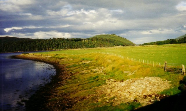
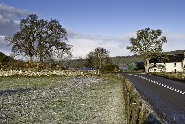
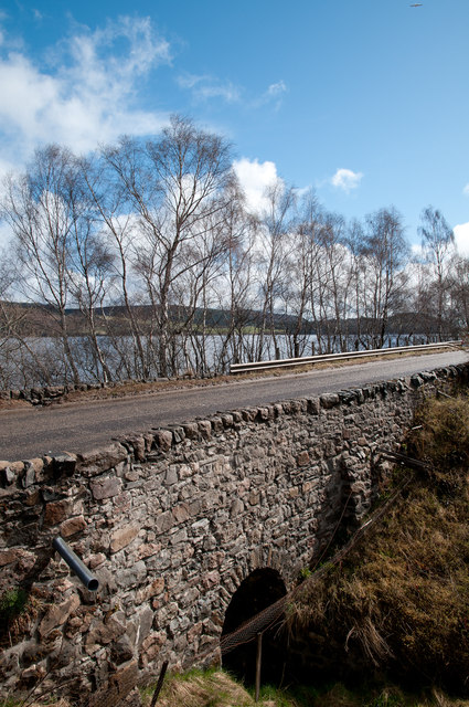
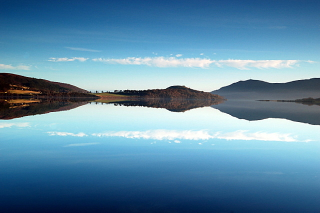
Ardchronie is a quaint village located in the county of Ross-shire, in the Highland region of Scotland. Situated on the northeastern coast of the country, Ardchronie enjoys breathtaking views of the North Sea and is surrounded by stunning natural landscapes.
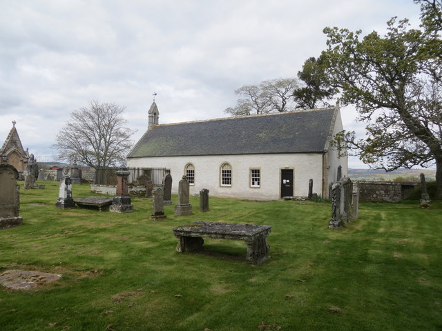
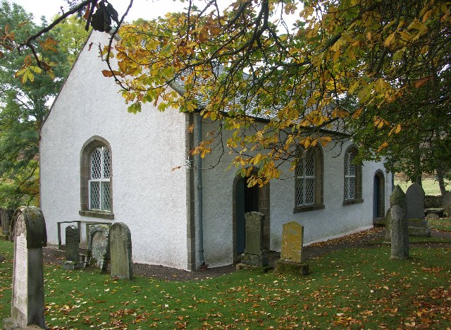
With a population of around 300 residents, Ardchronie is a close-knit community known for its friendly and welcoming atmosphere. The village boasts a rich history, with traces of its past evident in its architecture and landmarks. Visitors can explore traditional stone buildings, such as the charming St. Mary's Church, which dates back to the 16th century.
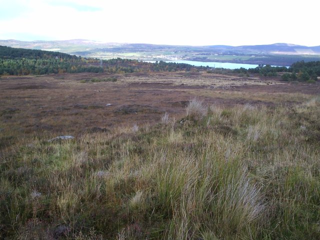
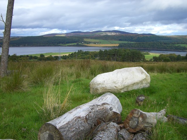
Nature enthusiasts will find plenty to enjoy in Ardchronie, as the village is nestled amidst picturesque countryside. The surrounding area offers opportunities for outdoor activities like hiking, fishing, and wildlife spotting. The nearby Balblair Woods provide a serene setting for leisurely strolls and birdwatching.
Ardchronie is not only known for its natural beauty but also for its local produce. The village is home to a handful of farms that offer farm-to-table experiences, where visitors can sample fresh, organic produce straight from the source. Additionally, Ardchronie hosts a weekly farmers market, where residents and visitors can purchase a wide variety of locally grown fruits, vegetables, and homemade products.
While Ardchronie may be small in size, it compensates for it with its rich heritage, breathtaking scenery, and warm community spirit. Whether one seeks tranquility amidst nature or a glimpse into Scottish village life, Ardchronie provides an idyllic destination for those looking to experience the charm of the Scottish Highlands.
If you have any feedback on the listing, please let us know in the comments section below.
Ardchronie Images
Images are sourced within 2km of 57.859803/-4.3443182 or Grid Reference NH6188. Thanks to Geograph Open Source API. All images are credited.


Ardchronie is located at Grid Ref: NH6188 (Lat: 57.859803, Lng: -4.3443182)
Unitary Authority: Highland
Police Authority: Highlands and Islands
What 3 Words
///matter.rear.cowering. Near Tain, Highland
Nearby Locations
Related Wikis
Ardchronie
Ardchronie (Scottish Gaelic: Àird Chrònaidh) is a hamlet in the Highland Council area of Scotland. It lies on the south side of the Dornoch Firth, about...
Kincardine, Sutherland
Kincardine (Scottish Gaelic: Cinn Chàrdainn) is a small hamlet in Sutherland, situated on the west end of the south shore of the Dornoch Firth. The village...

Ardgay
Ardgay ard-GY (Scottish Gaelic: Àird Gaoith or Àird Ghaoithe) ["high wind" - see below Further reading: MacGregor] is a small Scottish village on the...
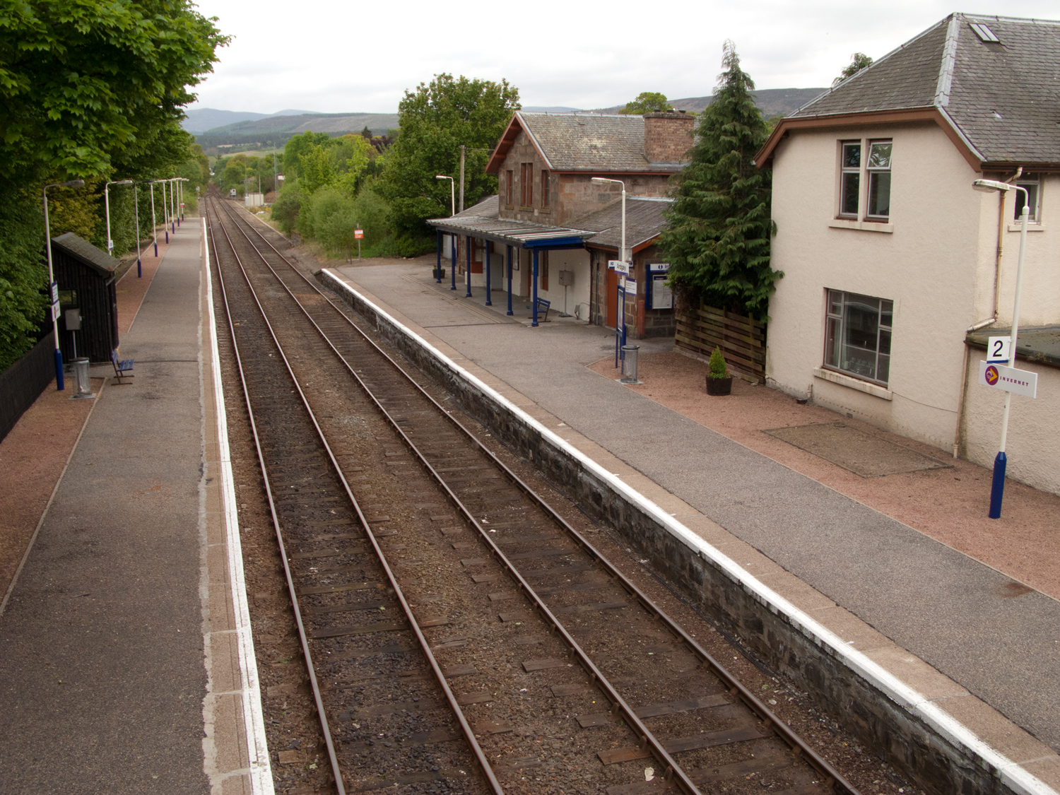
Ardgay railway station
Ardgay railway station is a railway station serving the village of Ardgay and its neighbour Bonar Bridge in the Highland council area of Scotland. The...
Migdale Hospital
The Migdale Hospital is a health facility in Bonar Bridge, Scotland. It is managed by NHS Highland. == History == The facility has its origins in the Sutherland...
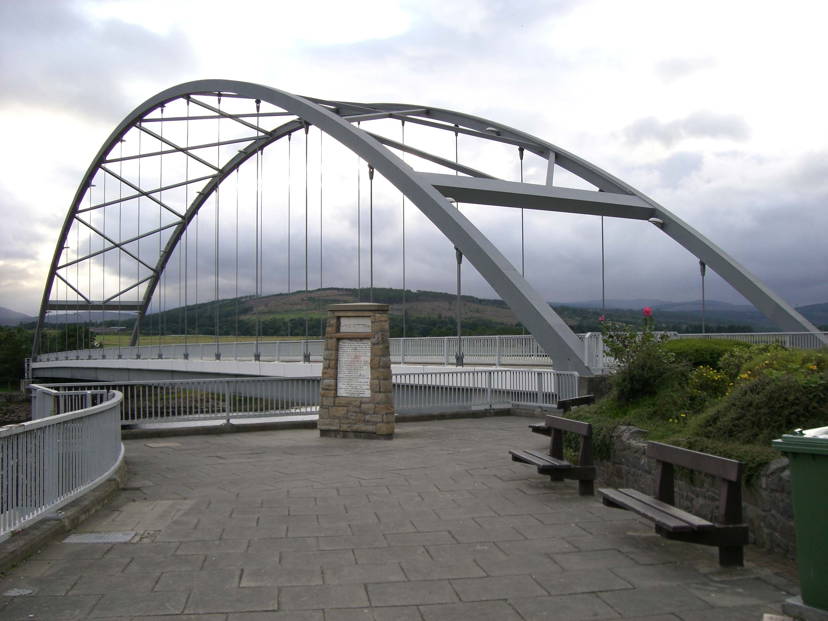
Bonar Bridge
Bonar Bridge (Scottish Gaelic: Drochaid a' Bhanna, pronounced [ˈt̪ɾɔxɪtʲ ə ˈvan̪ˠə]) is a village on the north bank of the Kyle of Sutherland to the west...

Creich
Creich (Scottish Gaelic: Craoich, pronounced [kʰɾɯːç]) is a substantial parish on the north side of the Dornoch Firth the largest settlement being Bonar...
Easter Fearn
Easter Fearn is a small settlement in the Ross-shire area of the Highland council area in Scotland, on the A836 and B9176 roads it is 3 miles from Ardgay...
Nearby Amenities
Located within 500m of 57.859803,-4.3443182Have you been to Ardchronie?
Leave your review of Ardchronie below (or comments, questions and feedback).