Lower Woolgrove Wood
Wood, Forest in Somerset Mendip
England
Lower Woolgrove Wood
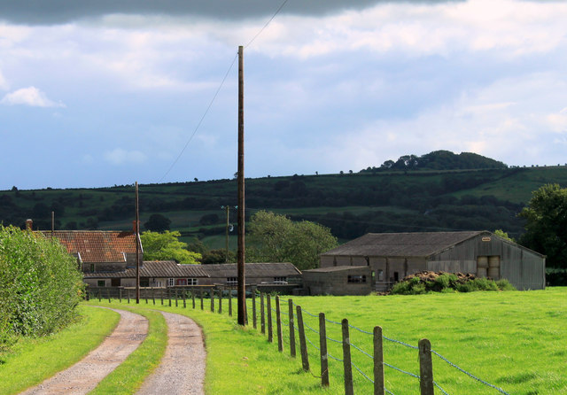
Lower Woolgrove Wood is a picturesque woodland located in Somerset, England. Spanning over a vast area, this forest is known for its diverse range of flora and fauna, making it a popular destination for nature enthusiasts and wildlife photographers.
The wood is primarily composed of deciduous trees, including oak, beech, and birch, which create a stunning canopy of greenery during the summer months. These trees provide shelter and food for a variety of bird species such as woodpeckers, owls, and thrushes, making it a paradise for birdwatching.
In addition to the avian population, Lower Woolgrove Wood is also home to various mammals, including deer, badgers, and foxes. These animals take advantage of the abundance of food sources and the dense vegetation for protection and foraging.
Walking through the wood, visitors can explore an extensive network of trails, some of which lead to hidden ponds and streams. These water bodies attract amphibians, such as frogs and newts, as well as dragonflies and other insects, creating a vibrant ecosystem.
Lower Woolgrove Wood also holds historical significance, with evidence of human activity dating back to the Bronze Age. Archaeological finds, including pottery and tools, have been discovered within the wood, providing valuable insights into the lives of past civilizations.
Overall, Lower Woolgrove Wood is a captivating woodland that offers a tranquil escape from the hustle and bustle of everyday life. With its rich biodiversity and historical significance, it is a haven for nature lovers and history enthusiasts alike.
If you have any feedback on the listing, please let us know in the comments section below.
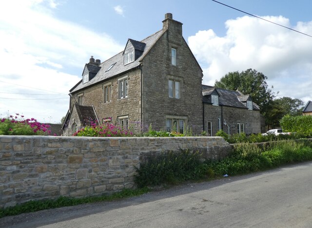
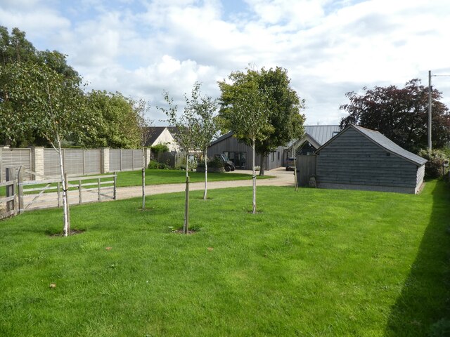
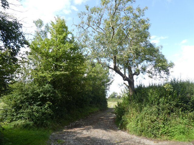
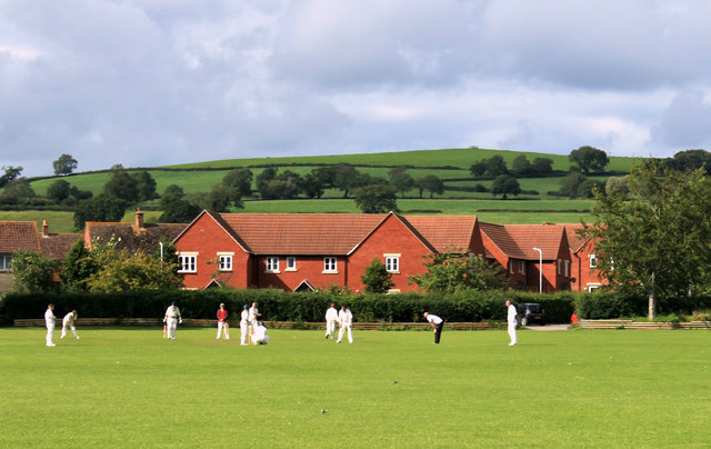
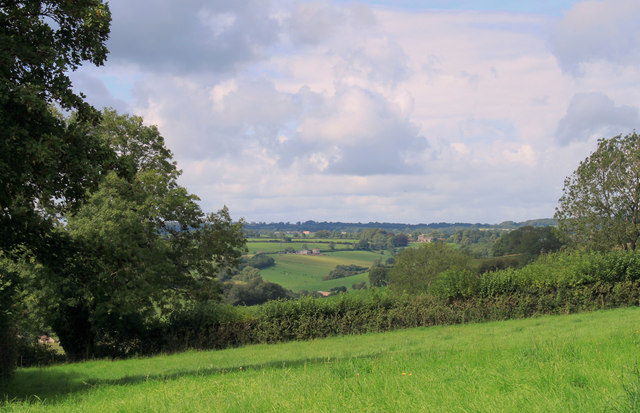
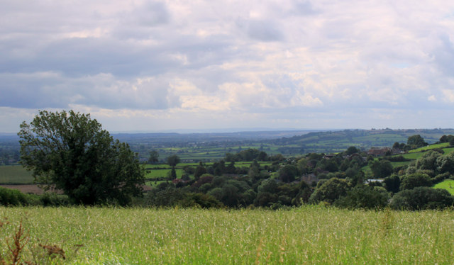
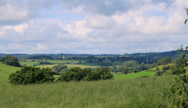
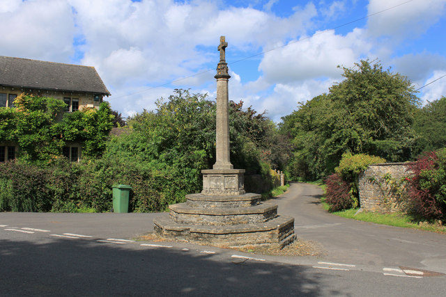
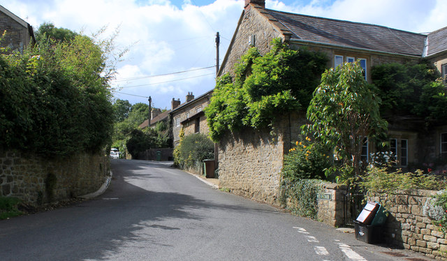
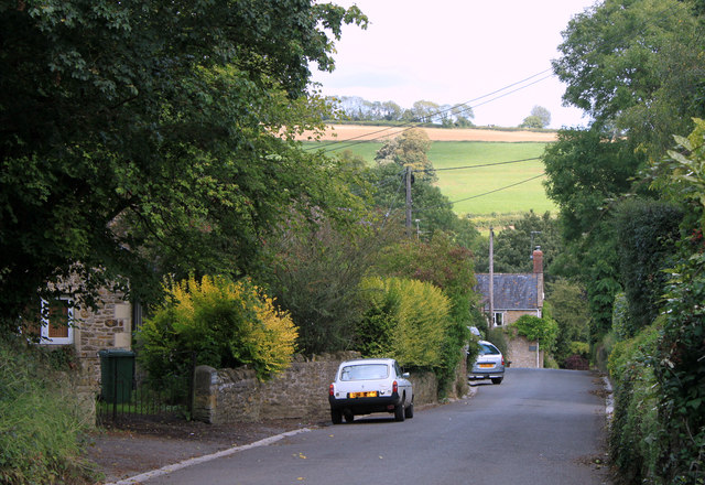
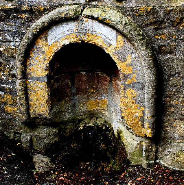
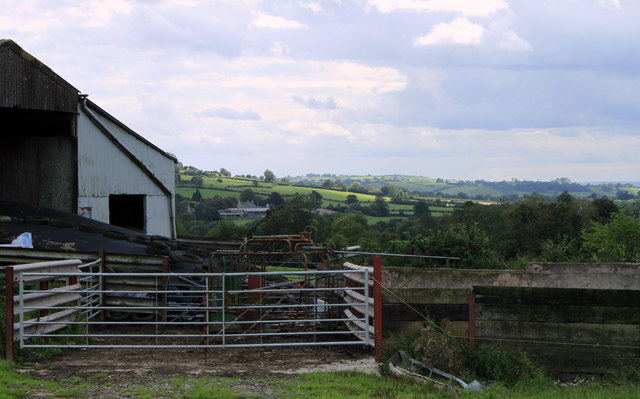
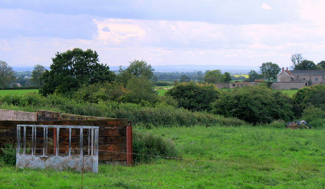
Lower Woolgrove Wood Images
Images are sourced within 2km of 51.155798/-2.4786861 or Grid Reference ST6639. Thanks to Geograph Open Source API. All images are credited.
Lower Woolgrove Wood is located at Grid Ref: ST6639 (Lat: 51.155798, Lng: -2.4786861)
Administrative County: Somerset
District: Mendip
Police Authority: Avon and Somerset
What 3 Words
///imposes.flickers.painting. Near Evercreech, Somerset
Nearby Locations
Related Wikis

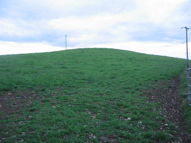
Small Down Knoll
Small Down Knoll, or Small Down Camp, is a Bronze Age hill fort near Evercreech in Somerset, England. The hill is on the southern edge of the Mendip Hills...
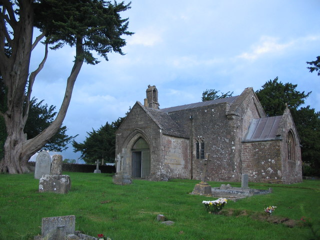
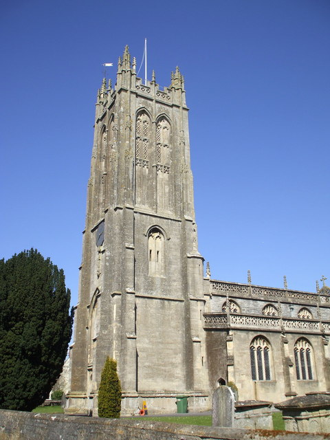
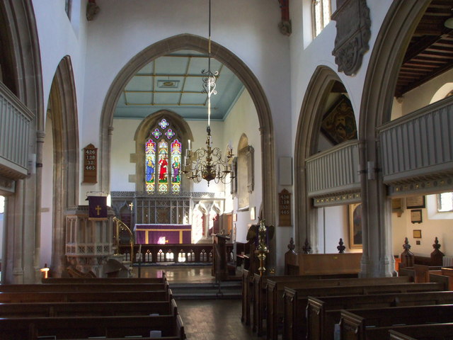
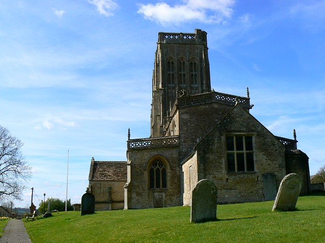
Church of St Mary, Chesterblade
The Anglican Church of St Mary in Chesterblade, Somerset, England was built in the 12th century. It is a Grade II* listed building. It is located 3 miles...
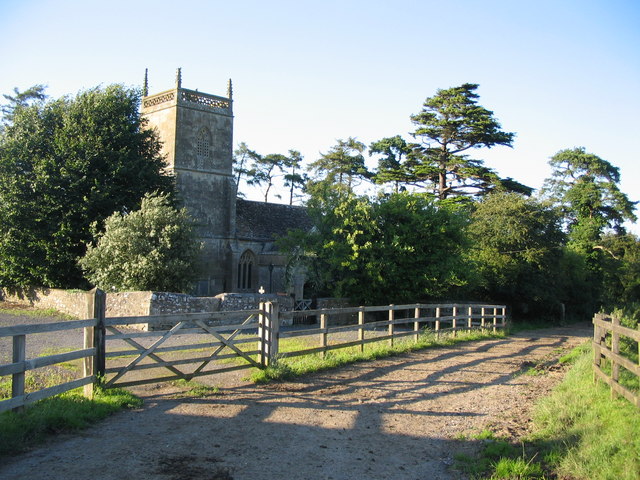
Church of St James, Milton Clevedon
The Anglican Church of St James in Milton Clevedon, within the English county of Somerset, was rebuilt in 1790. It is a Grade II* listed building.The first...
Maes Down
Maes Down (grid reference ST647406) is a 0.2 hectare geological Site of Special Scientific Interest between Shepton Mallet and Stoney Stratton in Somerset...

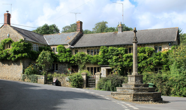
Milton Clevedon
Milton Clevedon is a village and civil parish 1 mile (1.6 km) south of Evercreech in the Mendip district of Somerset, England. == History == The name of...

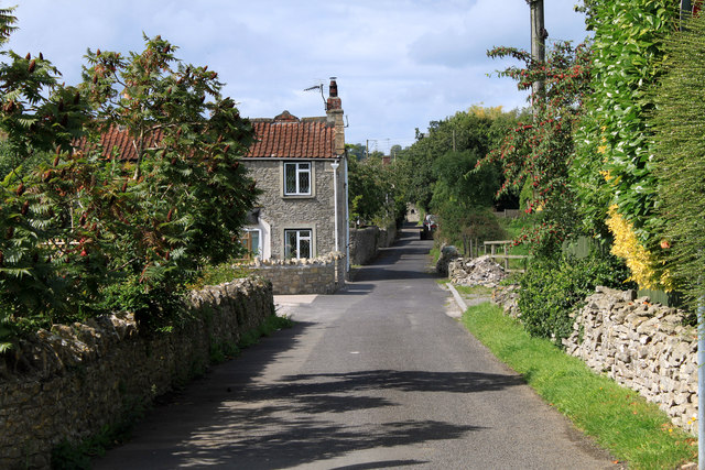
Evercreech
Evercreech is a village and civil parish in Somerset, England. The village is 3 miles (4.8 km) southeast of Shepton Mallet, and 5 miles (8.0 km) northeast...

Evercreech New railway station
Evercreech New, originally called "Evercreech Village", was a railway station at Evercreech on the Somerset and Dorset Joint Railway. The station opened...
Batcombe, Somerset
Batcombe is a village and civil parish in Somerset, England, situated in the steep valley of the River Alham 5 miles (8 km) south-east of Shepton Mallet...
Have you been to Lower Woolgrove Wood?
Leave your review of Lower Woolgrove Wood below (or comments, questions and feedback).