Cotes
Settlement in Staffordshire Stafford
England
Cotes

Cotes is a small village located in the county of Staffordshire, England. Situated approximately 5 miles south of the town of Uttoxeter, it is nestled in a rural setting surrounded by picturesque countryside.
The village has a long history, with evidence of human habitation dating back to Roman times. Today, Cotes retains its charming rural character, with a small population of around 300 residents. The village is known for its quaint cottages, some of which date back to the 17th century, and its well-maintained village green.
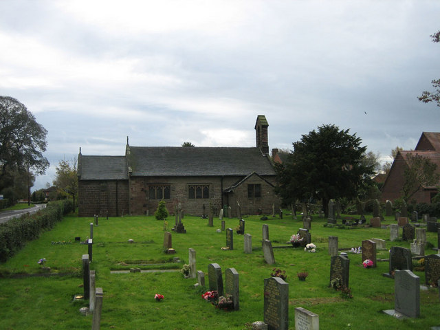
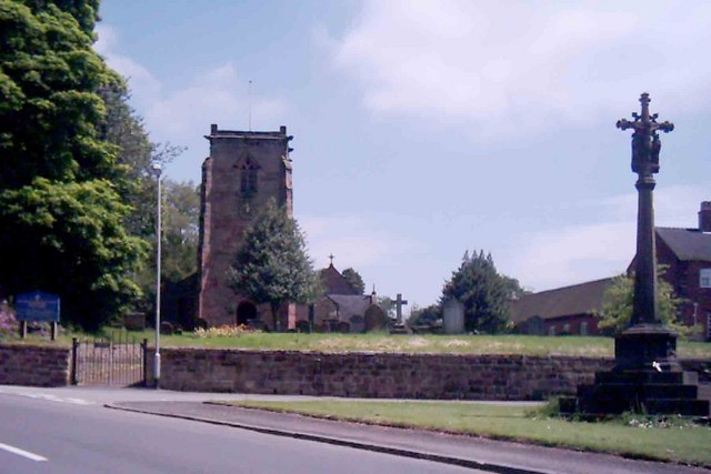
One notable feature of Cotes is the St. James' Church, a Grade II listed building that dates back to the 12th century. The church is a hub of community activity, hosting regular services as well as various events throughout the year.
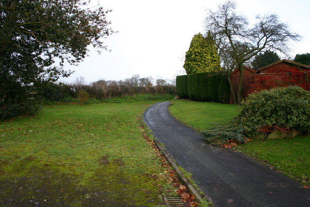
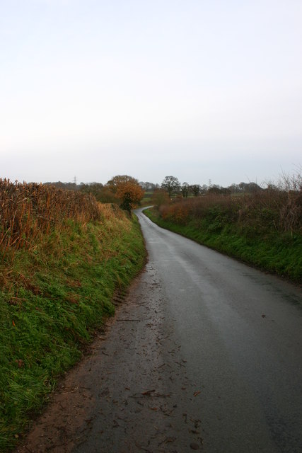
Cotes offers a tranquil and peaceful environment for its residents, with plenty of opportunities for outdoor activities such as walking, cycling, and horse riding. The surrounding countryside provides stunning views and a chance to reconnect with nature.
Despite its small size, Cotes is conveniently located near the town of Uttoxeter, which provides essential amenities such as supermarkets, schools, and medical facilities. Additionally, the village benefits from good transportation links, with easy access to major roads and nearby railway stations.
In summary, Cotes is a charming and historic village in Staffordshire, offering a peaceful rural lifestyle with close proximity to essential amenities. Its picturesque setting and community spirit make it an attractive place to live for those seeking a quiet countryside retreat.
If you have any feedback on the listing, please let us know in the comments section below.
Cotes Images
Images are sourced within 2km of 52.909478/-2.234164 or Grid Reference SJ8434. Thanks to Geograph Open Source API. All images are credited.


Cotes is located at Grid Ref: SJ8434 (Lat: 52.909478, Lng: -2.234164)
Administrative County: Staffordshire
District: Stafford
Police Authority: Staffordshire
What 3 Words
///spinning.lifts.whiplash. Near Standon, Staffordshire
Nearby Locations
Related Wikis

Swynnerton Hall
Swynnerton Hall is an 18th-century country mansion house, the home of Lord Stafford, situated at Swynnerton near Stone, Staffordshire. It is a Grade I...

Swynnerton
Swynnerton is a village and civil parish in Staffordshire, England. It lies in the Borough of Stafford, and at the 2001 census had a population of 4,233...

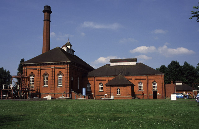
Mill Meece Pumping Station
Mill Meece Pumping Station is a pumping station, located in the village of Mill Meece in Staffordshire, England. Its function, powered by steam engines...

Standon Bridge railway station
Standon Bridge railway station was a railway station in Standon, approximately 4 miles (6.4 km) west of Stone, Staffordshire. The station closed on 4 February...
Nearby Amenities
Located within 500m of 52.909478,-2.234164Have you been to Cotes?
Leave your review of Cotes below (or comments, questions and feedback).