Fowlswell Slade

Wood, Forest in Gloucestershire Forest of Dean

England

Fowlswell Slade

Yorkley Recreation Ground The football pitch was created by miners on land donated by the Forestry authorities in the early 20th century.
We are about to have a summer deluge.
Yorkley Recreation Ground Credit: Jonathan Billinger

Fowlswell Slade is a picturesque woodland area located in Gloucestershire, England. Situated within the larger Forest of Dean, it is known for its natural beauty and diverse wildlife. This tranquil woodland is a popular destination for nature enthusiasts and those seeking a peaceful retreat.

Covering an area of approximately 200 acres, Fowlswell Slade is characterized by its dense canopy of trees, including oak, beech, and ash. These towering trees provide shade and shelter, creating a cool and serene atmosphere within the woodland. The forest floor is carpeted with a rich undergrowth of ferns, mosses, and wildflowers, adding to the enchanting ambiance.

The area is home to a wide variety of wildlife, including deer, badgers, foxes, and numerous bird species. Birdwatchers can spot woodland birds such as woodpeckers, owls, and various songbirds. The woodland also provides habitat for rare and protected species, such as the lesser horseshoe bat.

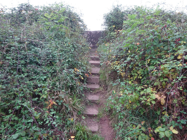
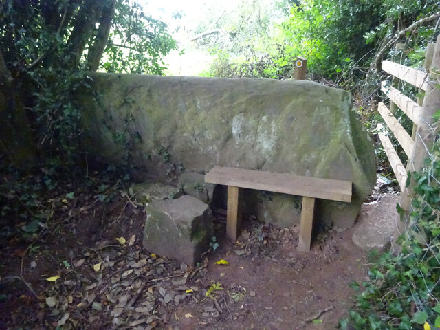
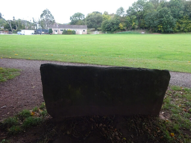
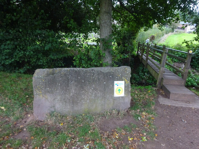
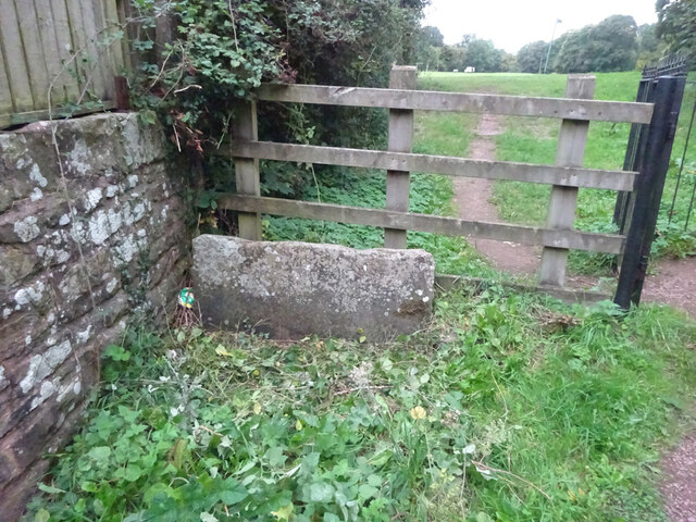
Fowlswell Slade offers various walking trails and paths, allowing visitors to explore the woodland and experience its beauty up close. These trails are well-maintained and provide opportunities for leisurely strolls or more challenging hikes. The woodland also features picnic areas and benches, perfect for enjoying a packed lunch surrounded by nature.

Managed by the Forestry Commission, Fowlswell Slade is committed to preserving and protecting its natural environment. This ensures that future generations can continue to enjoy the beauty and tranquility of this remarkable woodland area.

If you have any feedback on the listing, please let us know in the comments section below.

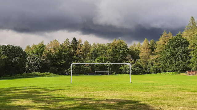
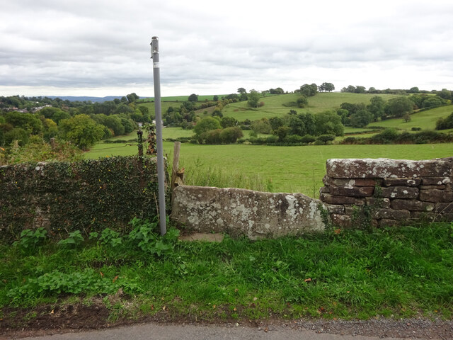
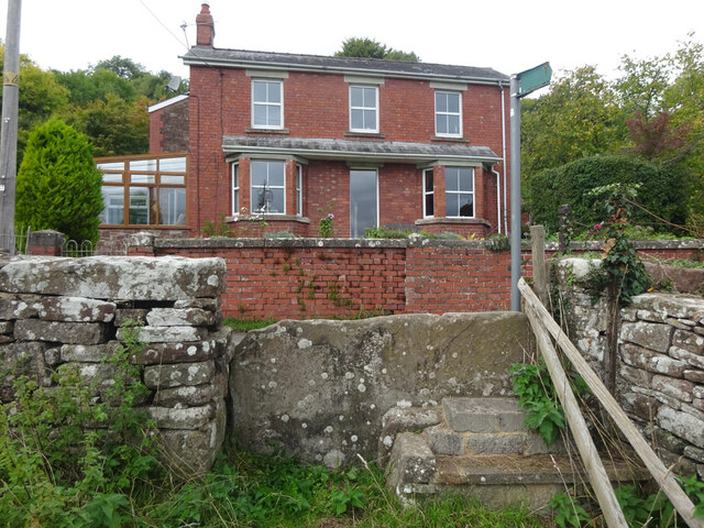
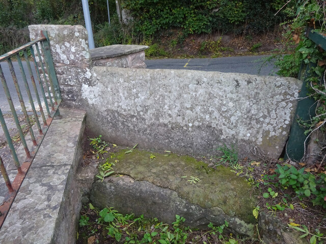
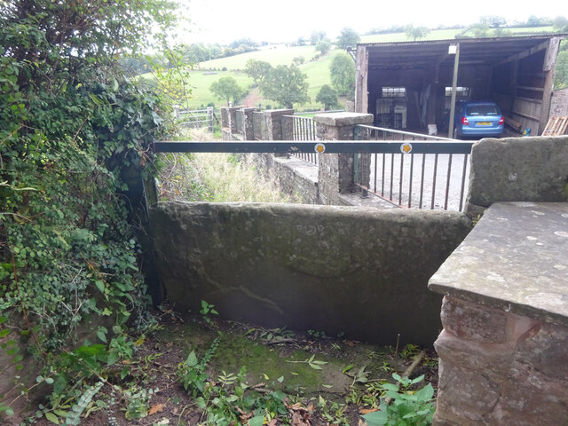
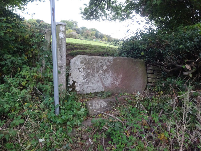
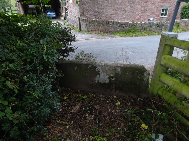
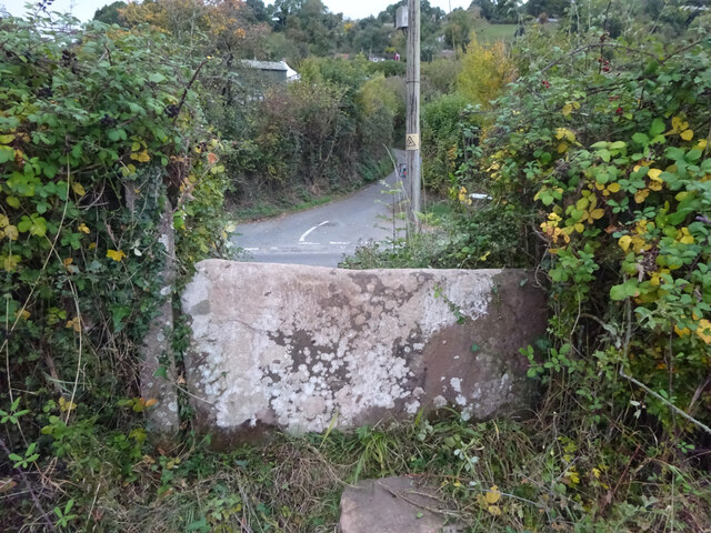
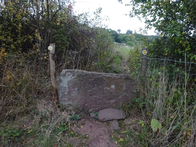
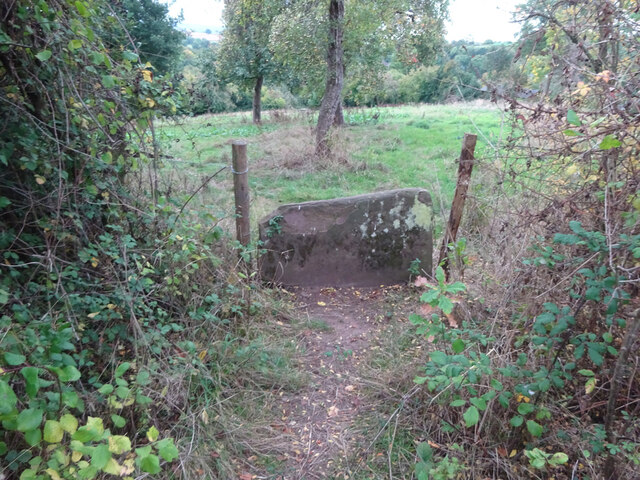
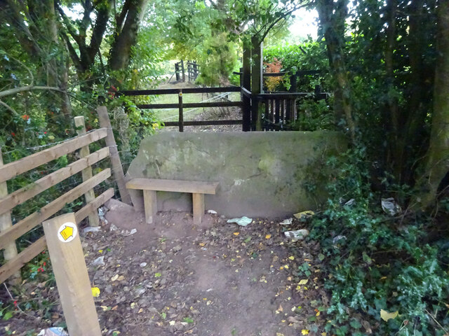
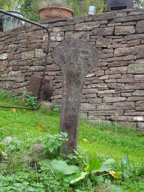
Fowlswell Slade Images

Images are sourced within 2km of 51.765295/-2.4978747 or Grid Reference SO6507. Thanks to Geograph Open Source API. All images are credited.

Yorkley Recreation Ground The football pitch was created by miners on land donated by the Forestry authorities in the early 20th century.
We are about to have a summer deluge.
Yorkley Recreation Ground
The football pitch was created by miners on land donated by the Forestry authorities in the early 20th century. We are about to have a summer deluge.
Stone Stile, Blakeney On Gloucestershire footpath DAW63, off Pollards Lane looking from the road.
The view looking West is <a href="https://www.geograph.org.uk/photo/7301675">SO6606 : Stone Stile, Blakeney</a>.
Stone Stile, Blakeney
On Gloucestershire footpath DAW63, off Pollards Lane looking from the road. The view looking West is SO6606 : Stone Stile, Blakeney.
Stone Stile, Blakeney On Gloucestershire footpath DAW63, off Pollards Lane looking towards the road. The view looking East is <a href="https://www.geograph.org.uk/photo/7301674">SO6606 : Stone Stile, Blakeney</a>.
Stone Stile, Blakeney
On Gloucestershire footpath DAW63, off Pollards Lane looking towards the road. The view looking East is SO6606 : Stone Stile, Blakeney.
Stone Stile, Blakeney Hill On Gloucestershire footpath DAW37 at Hewell's Farm, Cinderford Road. This looks West to road, the view East is <a href="https://www.geograph.org.uk/photo/7301708">SO6607 : Stone Stile, Blakeney Hill</a>.
Stone Stile, Blakeney Hill
On Gloucestershire footpath DAW37 at Hewell's Farm, Cinderford Road. This looks West to road, the view East is SO6607 : Stone Stile, Blakeney Hill.
Stone Stile, Blakeney Hill On Gloucestershire footpath DAW37 at Hewell's Farm, Cinderford Road. This looks East, the view to the road is <a href="https://www.geograph.org.uk/photo/7301707">SO6607 : Stone Stile, Blakeney Hill</a>.
Stone Stile, Blakeney Hill
On Gloucestershire footpath DAW37 at Hewell's Farm, Cinderford Road. This looks East, the view to the road is SO6607 : Stone Stile, Blakeney Hill.
Stone Stile, Blakeney Hill On Gloucestershire footpaths DAW38 & DAW39 from Cinderford Road opposite Hewell's Farm looking from the road. The view looking to the road is <a href="https://www.geograph.org.uk/photo/7301717">SO6607 : Stone Stile, Blakeney Hill</a>.
Stone Stile, Blakeney Hill
On Gloucestershire footpaths DAW38 & DAW39 from Cinderford Road opposite Hewell's Farm looking from the road. The view looking to the road is SO6607 : Stone Stile, Blakeney Hill.
Stone Stile, Blakeney Hill On Gloucestershire footpaths DAW38 & DAW39 from Cinderford Road, looking towards Hewell's Farm. The view from the road is <a href="https://www.geograph.org.uk/photo/7301715">SO6607 : Stone Stile, Blakeney Hill</a>.
Stone Stile, Blakeney Hill
On Gloucestershire footpaths DAW38 & DAW39 from Cinderford Road, looking towards Hewell's Farm. The view from the road is SO6607 : Stone Stile, Blakeney Hill.
Stone Stile, Blakeney Hill On Gloucestershire footpath DAW46 opposite Blakeney Hill Road looking from the road. The view to the roads is <a href="https://www.geograph.org.uk/photo/7301743">SO6607 : Stone Stile, Blakeney Hill</a>.
Stone Stile, Blakeney Hill
On Gloucestershire footpath DAW46 opposite Blakeney Hill Road looking from the road. The view to the roads is SO6607 : Stone Stile, Blakeney Hill.
Stone Stile, Blakeney Hill On Gloucestershire footpath DAW46 opposite Blakeney Hill Road looking to the roads. The view up the steps to the stile is <a href="https://www.geograph.org.uk/photo/7301742">SO6607 : Stone Stile, Blakeney Hill</a>.
Stone Stile, Blakeney Hill
On Gloucestershire footpath DAW46 opposite Blakeney Hill Road looking to the roads. The view up the steps to the stile is SO6607 : Stone Stile, Blakeney Hill.
Stone Stile, Blakeney Hill On Gloucestershire footpath DAW46 heading towards the Blakeney Playing Fields. Looking NW in the direction of Cinderford Road, the view SE is <a href="https://www.geograph.org.uk/photo/7301752">SO6607 : Stone Stile, Blakeney Hill</a>.
Stone Stile, Blakeney Hill
On Gloucestershire footpath DAW46 heading towards the Blakeney Playing Fields. Looking NW in the direction of Cinderford Road, the view SE is SO6607 : Stone Stile, Blakeney Hill.
Stone Stile, Blakeney Hill On Gloucestershire footpath DAW46 heading towards the Blakeney Playing Fields. Looking NW to Cinderford Road, the view SE is <a href="https://www.geograph.org.uk/photo/7301750">SO6607 : Stone Stile, Blakeney Hill</a>.
Stone Stile, Blakeney Hill
On Gloucestershire footpath DAW46 heading towards the Blakeney Playing Fields. Looking NW to Cinderford Road, the view SE is SO6607 : Stone Stile, Blakeney Hill.
Stone Stile, Blakeney On Gloucestershire footpath DAW46 looking South looking towards the playing fields, the view North is <a href="https://www.geograph.org.uk/photo/7301767">SO6607 : Stone Stile, Blakeney</a>.
Stone Stile, Blakeney
On Gloucestershire footpath DAW46 looking South looking towards the playing fields, the view North is SO6607 : Stone Stile, Blakeney.
Stone Stile, Blakeney On Gloucestershire footpath DAW46 looking north, the view South looking towards the playing fields is <a href="https://www.geograph.org.uk/photo/7301766">SO6607 : Stone Stile, Blakeney</a>.
Stone Stile, Blakeney
On Gloucestershire footpath DAW46 looking north, the view South looking towards the playing fields is SO6607 : Stone Stile, Blakeney.
Stone Stile, Blakeney On Gloucestershire footpaths DAW119 & DAW44 at the Eastern side of the playing fields looking East. The view looking back is <a href="https://www.geograph.org.uk/photo/7301781">SO6707 : Stone Stile, Blakeney</a>.
Stone Stile, Blakeney
On Gloucestershire footpaths DAW119 & DAW44 at the Eastern side of the playing fields looking East. The view looking back is SO6707 : Stone Stile, Blakeney.
Stone Stile, Blakeney On Gloucestershire footpaths DAW119 & DAW44 at the Eastern side of and looking from the playing fields. The view looking in is <a href="https://www.geograph.org.uk/photo/7301780">SO6707 : Stone Stile, Blakeney</a>.
Stone Stile, Blakeney
On Gloucestershire footpaths DAW119 & DAW44 at the Eastern side of and looking from the playing fields. The view looking in is SO6707 : Stone Stile, Blakeney.
Stone Stile, Blakeney On Gloucestershire footpath DAW44 leaving the playing fields. The view looking back to the playing fields is <a href="https://www.geograph.org.uk/photo/7301793">SO6707 : Stone Stile, Blakeney</a>.
Stone Stile, Blakeney
On Gloucestershire footpath DAW44 leaving the playing fields. The view looking back to the playing fields is SO6707 : Stone Stile, Blakeney.
Stone Stile, Blakeney On Gloucestershire footpath DAW44 looking back to the playing fields. The view leaving the playing fields is <a href="https://www.geograph.org.uk/photo/7301792">SO6707 : Stone Stile, Blakeney</a>.
Stone Stile, Blakeney
On Gloucestershire footpath DAW44 looking back to the playing fields. The view leaving the playing fields is SO6707 : Stone Stile, Blakeney.
Railway Boundary Marker, Blakeney At No. 1 Prospect Cottage, Blakeney Hill. A genuine Midland Railway boundary post, out of place. The owner had moved it from the front garden. There is no close railway track, the Forest of Dean Railway became GWR by 1900, and that is 350 yds at its closest point. This was purely a decoration.
Railway Boundary Marker, Blakeney
At No. 1 Prospect Cottage, Blakeney Hill. A genuine Midland Railway boundary post, out of place. The owner had moved it from the front garden. There is no close railway track, the Forest of Dean Railway became GWR by 1900, and that is 350 yds at its closest point. This was purely a decoration.
Show me another place!

Fowlswell Slade is located at Grid Ref: SO6507 (Lat: 51.765295, Lng: -2.4978747)

Administrative County: Gloucestershire

District: Forest of Dean

Police Authority: Gloucestershire

What 3 Words

///laptops.lotteries.ahead. Near Lydney, Gloucestershire

Related Wikis

Brain's Green

Brain's Green is a hamlet in Gloucestershire, England. == References ==

Blakeney, Gloucestershire

Blakeney is a village in Gloucestershire, England. It in the parish of Awre and has views of the Forest of Dean. It was the site of a Roman villa, dating...

Oldcroft

Oldcroft is a hamlet in Gloucestershire, England. The village of Yorkley is to the northwest, and the hamlet of Viney Hill is to the northeast. == History... ==

Clarke's Pool Meadow SSSI

Clarke's Pool Meadow (grid reference SO668061) is a 1.8-hectare (4.4-acre) biological Site of Special Scientific Interest in Gloucestershire, notified...

Nearby Amenities

Located within 500m of 51.765295,-2.4978747
Bus Stop
Tump House
Naptan AtcoCode: 1600GLF721
Naptan Bearing: N
Naptan CommonName: Tump House
Naptan NaptanCode: gloajmpm
Naptan Street: New Rd
Naptan Verified: no
Source: naptan_import
Lat/Long: 51.7616442/-2.4979538
Bus Stop
Tump House
Naptan AtcoCode: 1600GLF722
Naptan Bearing: S
Naptan CommonName: Tump House
Naptan Indicator: Opp
Naptan NaptanCode: gloajmpt
Naptan Street: New Rd
Naptan Verified: no
Source: naptan_import
Lat/Long: 51.7618423/-2.497898
Workshop Cottage
Tourism: chalet
Lat/Long: 51.7608962/-2.4971607
Power: pole
Lat/Long: 51.767986/-2.4981988
Power: pole
Lat/Long: 51.7633065/-2.5040755
Power: pole
Lat/Long: 51.7641166/-2.5032279
Power: pole
Lat/Long: 51.7659974/-2.5010338
Power: pole
Lat/Long: 51.7653317/-2.5019404
Design: triangle
Material: metal
Power: pole
Structure: lattice
Lat/Long: 51.765111/-2.501927
Design: triangle
Material: metal
Power: pole
Structure: lattice
Lat/Long: 51.7662696/-2.5003284
Design: triangle
Material: metal
Power: pole
Structure: lattice
Lat/Long: 51.7677171/-2.4984375
Design: triangle
Material: metal
Power: pole
Structure: lattice
Lat/Long: 51.768942/-2.4967772
Design: triangle
Material: metal
Power: pole
Structure: lattice
Lat/Long: 51.7643357/-2.5028336
The data included in this document is from www.openstreetmap.org. The data is made available under ODbL.

Have you been to Fowlswell Slade?

Leave your review of Fowlswell Slade below (or comments, questions and feedback).