Forked Slade

Wood, Forest in Gloucestershire Forest of Dean

England

Forked Slade

Yorkley Recreation Ground The football pitch was created by miners on land donated by the Forestry authorities in the early 20th century.
We are about to have a summer deluge.
Yorkley Recreation Ground Credit: Jonathan Billinger

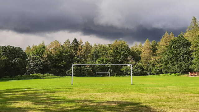
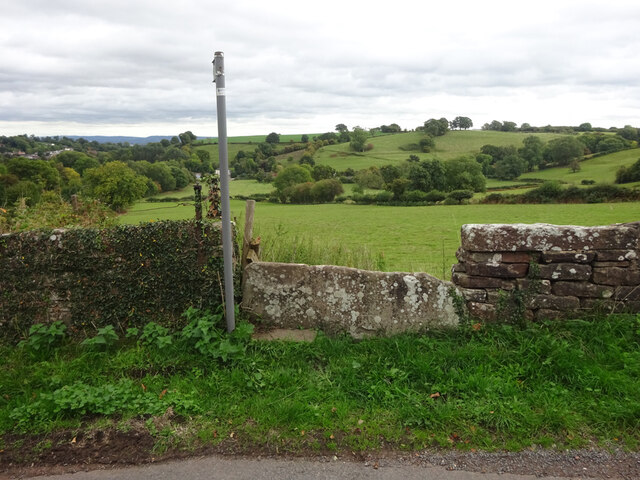
Forked Slade is a small woodland area located in Gloucestershire, England. Nestled within the larger Forest of Dean, this enchanting forest is known for its natural beauty and diverse flora and fauna. The woodland covers an area of approximately 100 acres, providing a tranquil and picturesque setting for visitors to explore.

The name "Forked Slade" is derived from the unique forked shape of the small valley that runs through the forest. This feature adds to the charm of the woodland and creates a sense of intrigue for those who venture into its depths. The forest is primarily made up of deciduous trees, such as oak, beech, and ash, which create a vibrant display of colors during the autumn months.

The woodland is home to a wide range of wildlife, including deer, foxes, badgers, and various bird species. Nature enthusiasts will also find an abundance of plant life, with wildflowers and ferns carpeting the forest floor. The diverse ecosystem supports a healthy population of insects, contributing to the overall balance of the woodland.

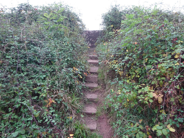
Forked Slade offers several walking trails, allowing visitors to explore the forest at their own pace. These paths wind through the trees, offering glimpses of sun-dappled glades and babbling brooks along the way. The peaceful atmosphere and natural beauty of Forked Slade make it an ideal spot for picnicking, photography, or simply immersing oneself in the tranquility of nature.

Overall, Forked Slade in Gloucestershire is a captivating woodland that showcases the beauty of the Forest of Dean. Its unique features, diverse wildlife, and serene ambiance make it a must-visit destination for nature lovers and those seeking a peaceful escape from the hustle and bustle of everyday life.

If you have any feedback on the listing, please let us know in the comments section below.
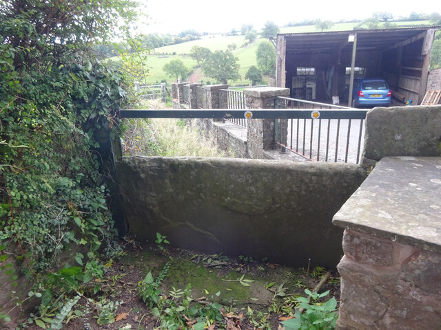
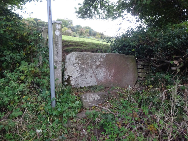
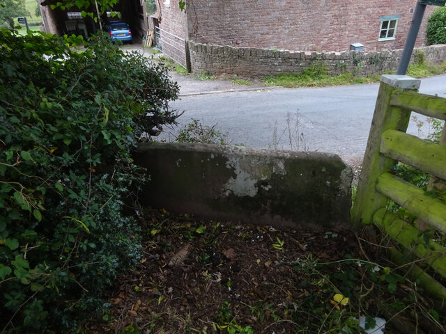
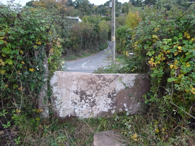
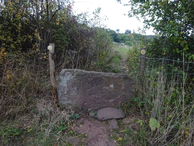
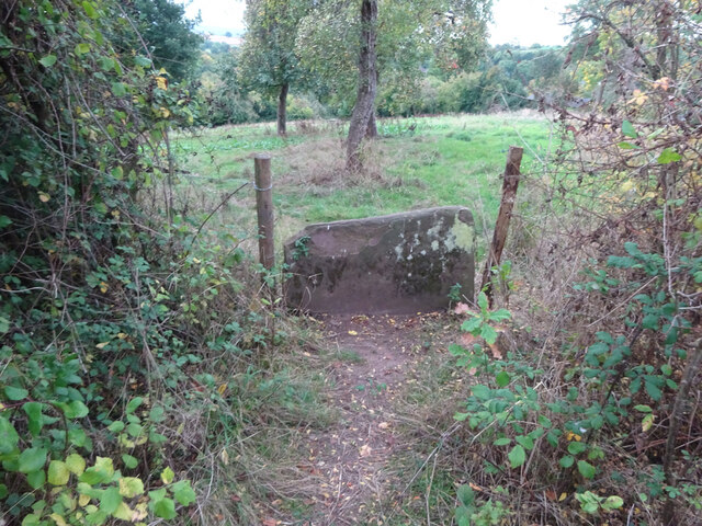
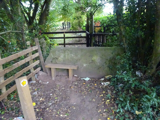
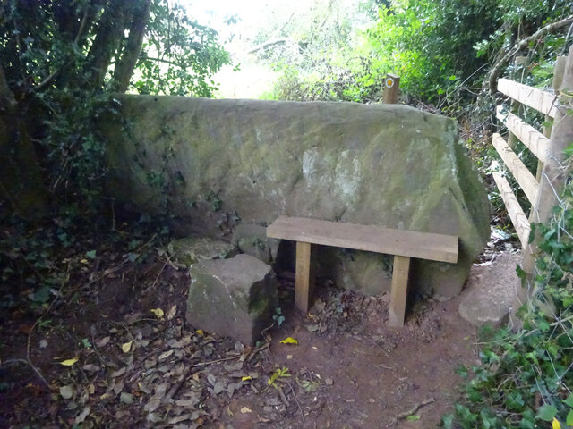
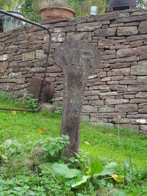
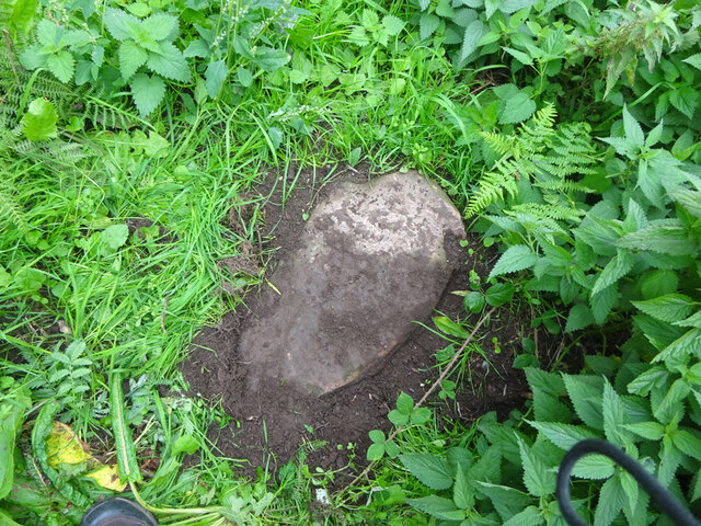
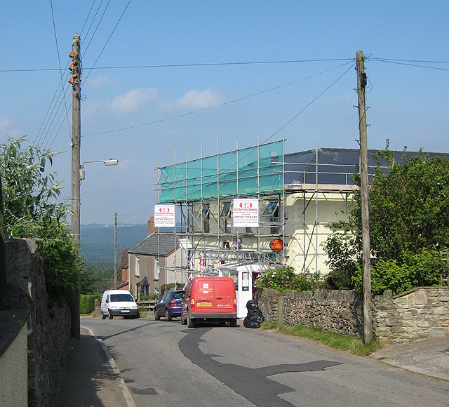
Forked Slade Images

Images are sourced within 2km of 51.763838/-2.508364 or Grid Reference SO6507. Thanks to Geograph Open Source API. All images are credited.

Yorkley Recreation Ground The football pitch was created by miners on land donated by the Forestry authorities in the early 20th century.
We are about to have a summer deluge.
Yorkley Recreation Ground
The football pitch was created by miners on land donated by the Forestry authorities in the early 20th century. We are about to have a summer deluge.
Stone Stile, Blakeney On Gloucestershire footpath DAW63, off Pollards Lane looking from the road.
The view looking West is <a href="https://www.geograph.org.uk/photo/7301675">SO6606 : Stone Stile, Blakeney</a>.
Stone Stile, Blakeney
On Gloucestershire footpath DAW63, off Pollards Lane looking from the road. The view looking West is SO6606 : Stone Stile, Blakeney.
Stone Stile, Blakeney On Gloucestershire footpath DAW63, off Pollards Lane looking towards the road. The view looking East is <a href="https://www.geograph.org.uk/photo/7301674">SO6606 : Stone Stile, Blakeney</a>.
Stone Stile, Blakeney
On Gloucestershire footpath DAW63, off Pollards Lane looking towards the road. The view looking East is SO6606 : Stone Stile, Blakeney.
Stone Stile, Blakeney Hill On Gloucestershire footpath DAW37 at Hewell's Farm, Cinderford Road. This looks West to road, the view East is <a href="https://www.geograph.org.uk/photo/7301708">SO6607 : Stone Stile, Blakeney Hill</a>.
Stone Stile, Blakeney Hill
On Gloucestershire footpath DAW37 at Hewell's Farm, Cinderford Road. This looks West to road, the view East is SO6607 : Stone Stile, Blakeney Hill.
Stone Stile, Blakeney Hill On Gloucestershire footpath DAW37 at Hewell's Farm, Cinderford Road. This looks East, the view to the road is <a href="https://www.geograph.org.uk/photo/7301707">SO6607 : Stone Stile, Blakeney Hill</a>.
Stone Stile, Blakeney Hill
On Gloucestershire footpath DAW37 at Hewell's Farm, Cinderford Road. This looks East, the view to the road is SO6607 : Stone Stile, Blakeney Hill.
Stone Stile, Blakeney Hill On Gloucestershire footpaths DAW38 & DAW39 from Cinderford Road opposite Hewell's Farm looking from the road. The view looking to the road is <a href="https://www.geograph.org.uk/photo/7301717">SO6607 : Stone Stile, Blakeney Hill</a>.
Stone Stile, Blakeney Hill
On Gloucestershire footpaths DAW38 & DAW39 from Cinderford Road opposite Hewell's Farm looking from the road. The view looking to the road is SO6607 : Stone Stile, Blakeney Hill.
Stone Stile, Blakeney Hill On Gloucestershire footpaths DAW38 & DAW39 from Cinderford Road, looking towards Hewell's Farm. The view from the road is <a href="https://www.geograph.org.uk/photo/7301715">SO6607 : Stone Stile, Blakeney Hill</a>.
Stone Stile, Blakeney Hill
On Gloucestershire footpaths DAW38 & DAW39 from Cinderford Road, looking towards Hewell's Farm. The view from the road is SO6607 : Stone Stile, Blakeney Hill.
Stone Stile, Blakeney Hill On Gloucestershire footpath DAW46 opposite Blakeney Hill Road looking from the road. The view to the roads is <a href="https://www.geograph.org.uk/photo/7301743">SO6607 : Stone Stile, Blakeney Hill</a>.
Stone Stile, Blakeney Hill
On Gloucestershire footpath DAW46 opposite Blakeney Hill Road looking from the road. The view to the roads is SO6607 : Stone Stile, Blakeney Hill.
Stone Stile, Blakeney Hill On Gloucestershire footpath DAW46 opposite Blakeney Hill Road looking to the roads. The view up the steps to the stile is <a href="https://www.geograph.org.uk/photo/7301742">SO6607 : Stone Stile, Blakeney Hill</a>.
Stone Stile, Blakeney Hill
On Gloucestershire footpath DAW46 opposite Blakeney Hill Road looking to the roads. The view up the steps to the stile is SO6607 : Stone Stile, Blakeney Hill.
Stone Stile, Blakeney Hill On Gloucestershire footpath DAW46 heading towards the Blakeney Playing Fields. Looking NW in the direction of Cinderford Road, the view SE is <a href="https://www.geograph.org.uk/photo/7301752">SO6607 : Stone Stile, Blakeney Hill</a>.
Stone Stile, Blakeney Hill
On Gloucestershire footpath DAW46 heading towards the Blakeney Playing Fields. Looking NW in the direction of Cinderford Road, the view SE is SO6607 : Stone Stile, Blakeney Hill.
Stone Stile, Blakeney Hill On Gloucestershire footpath DAW46 heading towards the Blakeney Playing Fields. Looking NW to Cinderford Road, the view SE is <a href="https://www.geograph.org.uk/photo/7301750">SO6607 : Stone Stile, Blakeney Hill</a>.
Stone Stile, Blakeney Hill
On Gloucestershire footpath DAW46 heading towards the Blakeney Playing Fields. Looking NW to Cinderford Road, the view SE is SO6607 : Stone Stile, Blakeney Hill.
Stone Stile, Blakeney On Gloucestershire footpath DAW46 looking South looking towards the playing fields, the view North is <a href="https://www.geograph.org.uk/photo/7301767">SO6607 : Stone Stile, Blakeney</a>.
Stone Stile, Blakeney
On Gloucestershire footpath DAW46 looking South looking towards the playing fields, the view North is SO6607 : Stone Stile, Blakeney.
Stone Stile, Blakeney On Gloucestershire footpath DAW46 looking north, the view South looking towards the playing fields is <a href="https://www.geograph.org.uk/photo/7301766">SO6607 : Stone Stile, Blakeney</a>.
Stone Stile, Blakeney
On Gloucestershire footpath DAW46 looking north, the view South looking towards the playing fields is SO6607 : Stone Stile, Blakeney.
Railway Boundary Marker, Blakeney At No. 1 Prospect Cottage, Blakeney Hill. A genuine Midland Railway boundary post, out of place. The owner had moved it from the front garden. There is no close railway track, the Forest of Dean Railway became GWR by 1900, and that is 350 yds at its closest point. This was purely a decoration.
Railway Boundary Marker, Blakeney
At No. 1 Prospect Cottage, Blakeney Hill. A genuine Midland Railway boundary post, out of place. The owner had moved it from the front garden. There is no close railway track, the Forest of Dean Railway became GWR by 1900, and that is 350 yds at its closest point. This was purely a decoration.
Boundary Stone, Loiterpin, Forest of Dean Blakeney Hill, on the Eastern side of the road in the verge. Though lain and broken, it was in the exact location (1 m) of that predicted, and it has the same rounded top as many of the similar older boundary stones in the "Forest".

Milestone Society National ID: GL_DFAWRE13aem
Boundary Stone, Loiterpin, Forest of Dean
Blakeney Hill, on the Eastern side of the road in the verge. Though lain and broken, it was in the exact location (1 m) of that predicted, and it has the same rounded top as many of the similar older boundary stones in the "Forest". Milestone Society National ID: GL_DFAWRE13aem
Modern Boundary Stone, Loiterpin, Blakeney Hill On the roadside at the entrance to a property.

Inscription: D. F. / Nᴼ. 15 / 2005

Milestone Society National ID: GL_DFAWRE15em
Modern Boundary Stone, Loiterpin, Blakeney Hill
On the roadside at the entrance to a property. Inscription: D. F. / Nᴼ. 15 / 2005 Milestone Society National ID: GL_DFAWRE15em
Boundary Stone, Loiterpin, Blakeney Hill In the Eastern bank of Loiterpin.

Inscription: (D. F) / Nᴼ. 17 / (1)832

Milestone Society National ID: GL_DFAWRE17em
Boundary Stone, Loiterpin, Blakeney Hill
In the Eastern bank of Loiterpin. Inscription: (D. F) / Nᴼ. 17 / (1)832 Milestone Society National ID: GL_DFAWRE17em
Modern Boundary Stone, Blakeney Actually in the parish of Awre. On the corner of New Road with Clark's Lane. Many plastic bollards are also used to delineate the boundary of the "Forest of Dean".

Inscription: D. F. / Nᴼ. 18 / 2004

Milestone Society National ID: GL_DFAWRE18em
Modern Boundary Stone, Blakeney
Actually in the parish of Awre. On the corner of New Road with Clark's Lane. Many plastic bollards are also used to delineate the boundary of the "Forest of Dean". Inscription: D. F. / Nᴼ. 18 / 2004 Milestone Society National ID: GL_DFAWRE18em
Show me another place!

Forked Slade is located at Grid Ref: SO6507 (Lat: 51.763838, Lng: -2.508364)

Administrative County: Gloucestershire

District: Forest of Dean

Police Authority: Gloucestershire

What 3 Words

///erupts.cactus.gratuity. Near Lydney, Gloucestershire

Related Wikis

Oldcroft

Oldcroft is a hamlet in Gloucestershire, England. The village of Yorkley is to the northwest, and the hamlet of Viney Hill is to the northeast. == History... ==

Brain's Green

Brain's Green is a hamlet in Gloucestershire, England. == References ==

Yorkley

Yorkley is a village in west Gloucestershire, England. The village includes the settlement of Yorkley Slade to the east. Yorkley is situated between the...

Meezy Hurst

Meezy Hurst (SO638089 to SO647091) is a 4.3-hectare (11-acre) geological Site of Special Scientific Interest in Gloucestershire, notified in 1986.The site...

Nearby Amenities

Located within 500m of 51.763838,-2.508364
Power: pole
Lat/Long: 51.7598585/-2.5076026
Power: pole
Lat/Long: 51.7633065/-2.5040755
Power: pole
Lat/Long: 51.7641166/-2.5032279
Power: pole
Lat/Long: 51.7653317/-2.5019404
Design: triangle
Material: metal
Power: pole
Structure: lattice
Lat/Long: 51.765111/-2.501927
Design: triangle
Material: metal
Power: pole
Structure: lattice
Lat/Long: 51.7643357/-2.5028336
Design: triangle
Material: metal
Power: pole
Structure: lattice
Lat/Long: 51.7618672/-2.5054729
Ford: yes
Lat/Long: 51.7648304/-2.5119457
The data included in this document is from www.openstreetmap.org. The data is made available under ODbL.

Have you been to Forked Slade?

Leave your review of Forked Slade below (or comments, questions and feedback).