Jack's Wood
Wood, Forest in Somerset
England
Jack's Wood
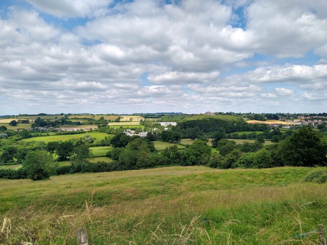
Jack's Wood is a picturesque woodland located in Somerset, England. Situated just a few miles outside of the bustling town of Taunton, the wood is a hidden gem for nature enthusiasts and outdoor adventurers alike.
Covering an area of approximately 100 acres, Jack's Wood is characterized by its dense foliage and diverse range of tree species. Oak, beech, and ash trees dominate the landscape, providing a rich habitat for various wildlife species. The wood is home to a plethora of birds, including woodpeckers, owls, and thrushes, making it a haven for birdwatchers.
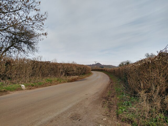
The wood is crisscrossed by a network of well-maintained trails, allowing visitors to explore its beauty at their own pace. These trails wind through the towering trees and lead to hidden clearings, where visitors can take a moment to appreciate the tranquility and natural beauty of the surroundings.
Jack's Wood also boasts a small pond, which serves as a watering hole for the woodland creatures. Visitors may catch a glimpse of frogs, newts, or even a family of ducks as they explore the water's edge.
Throughout the seasons, Jack's Wood offers a unique experience. In spring, the woodland floor comes alive with vibrant wildflowers, creating a colorful carpet of bluebells and primroses. Summer brings a lush green canopy overhead, providing shade for long walks on warm days. In autumn, the trees transform into a kaleidoscope of reds, oranges, and yellows, painting a stunning backdrop for a leisurely stroll. And in winter, the wood takes on a magical atmosphere, with frost-covered branches and a peaceful hush enveloping the area.
Overall, Jack's Wood is a true sanctuary of nature, providing visitors with an escape from the hustle and bustle of everyday life. Whether one seeks solitude, wildlife encounters, or simply a breath of fresh air, this woodland retreat offers something for everyone.
If you have any feedback on the listing, please let us know in the comments section below.
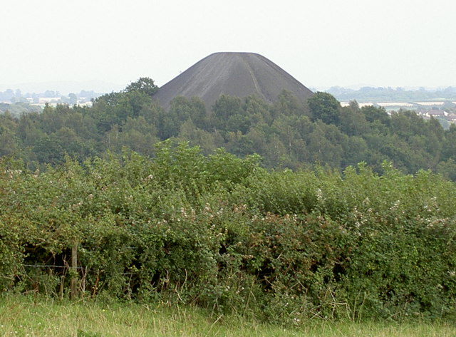
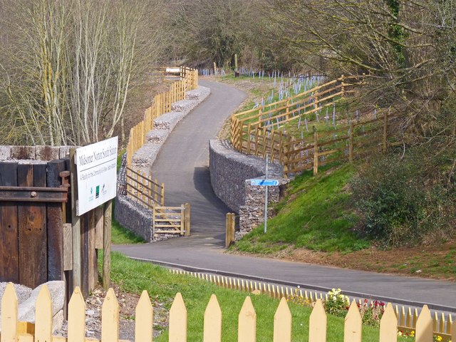
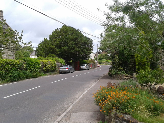
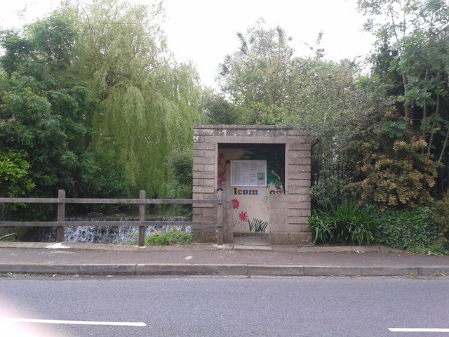
Jack's Wood Images
Images are sourced within 2km of 51.2821/-2.4978062 or Grid Reference ST6553. Thanks to Geograph Open Source API. All images are credited.


Jack's Wood is located at Grid Ref: ST6553 (Lat: 51.2821, Lng: -2.4978062)
Unitary Authority: Bath and North East Somerset
Police Authority: Avon and Somerset
What 3 Words
///slider.earplugs.totally. Near Midsomer Norton, Somerset
Nearby Locations
Related Wikis

Somervale School
Somervale School is situated in Midsomer Norton in Bath and North East Somerset in South West England. The school, which has academy status, is a specialist...

Church of St John the Baptist, Midsomer Norton
The Anglican Church of St John the Baptist in Midsomer Norton, Somerset, England, is a Grade II* listed building. St. John's is part of the Diocese of...

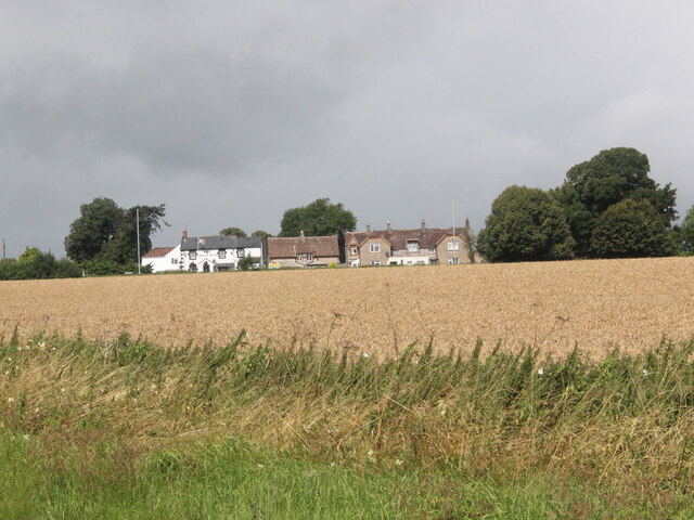
Norton House, Somerset
Norton House was a mansion in Midsomer Norton, Somerset. It was built around 1789 by the Savage family, investors in mines in the Somerset Coalfield...

The Priory, Midsomer Norton
The Priory in Church Square, Midsomer Norton, within the English county of Somerset was rebuilt in the early or mid 17th century. It is a Grade II* listed...

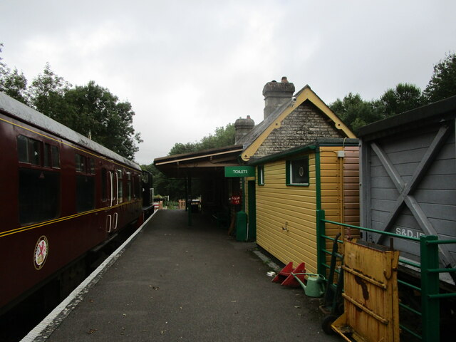
Somerset & Dorset Railway Heritage Trust
The Somerset & Dorset Railway Heritage Trust (S&DRHT) is a heritage railway line in Somerset, England, that runs on a restored section of the Somerset...

Midsomer Norton railway station
Midsomer Norton railway station (originally Midsomer Norton, later Midsomer Norton and Welton and finally Midsomer Norton South) was a station on the Somerset...
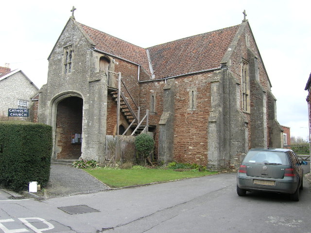
Church of the Holy Ghost, Midsomer Norton
The Church of the Holy Ghost, Midsomer Norton, Somerset, England is a Roman Catholic parish church housed in a converted tithe barn. It is served by monks...

Midsomer Norton Town Hall
Midsomer Norton Town Hall is a municipal structure at The Island, Midsomer Norton, Somerset, England. The structure, which serves as the meeting place...
Related Videos

Holiday in Cambodia (Cover by The Spanners)
The Spanners - Live at The Dolphin (Midsomer Norton), April 2023 Cover of Holiday in Cambodia by The Dead Kennedys.

Holiday (GreenDay cover) @ The Red Lion, Paulton
BandX, playing a cover of GreenDay's 'Holiday' live @ The red lion, Paulton (10/02/2023)

Somerset & Dorset. Bank Holiday open days
Midsomer Norton Bank Holiday 31/5/21.

Holiday (Cover by The Spanners)
The Spanners - Live at The Dolphin (Midsomer Norton), April 2023 Cover of Holiday by Green Day No copyright infringement ...
Nearby Amenities
Located within 500m of 51.2821,-2.4978062Have you been to Jack's Wood?
Leave your review of Jack's Wood below (or comments, questions and feedback).