Breast Wood
Wood, Forest in Lancashire Ribble Valley
England
Breast Wood

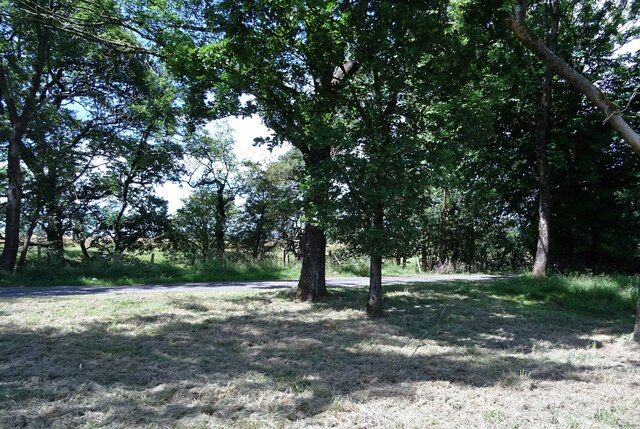
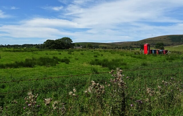
Breast Wood is a picturesque forest located in the county of Lancashire, England. Nestled amidst the rolling hills and lush greenery, this woodland area covers a significant expanse of land, attracting both locals and tourists alike.
The name Breast Wood is derived from the Old English word "bryst," meaning hill or breast, and reflects the undulating terrain of the area. The forest is characterized by a diverse range of tree species, including oak, beech, and birch, which create a rich and vibrant canopy overhead. The forest floor is adorned with a carpet of wildflowers during the spring and summer months, adding to its natural beauty.
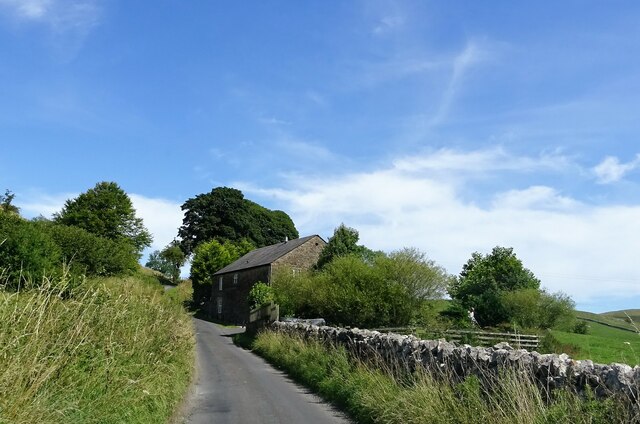
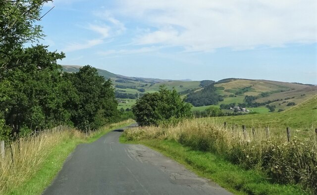
Breast Wood offers a tranquil escape from the bustling city life, inviting visitors to immerse themselves in its serene ambiance. The forest is crisscrossed by numerous walking trails, allowing hikers and nature enthusiasts to explore its hidden gems. These paths lead to secluded clearings, babbling streams, and breathtaking viewpoints, providing ample opportunities to connect with nature and enjoy the peaceful surroundings.
The woodland is also home to a diverse array of wildlife, including deer, foxes, squirrels, and numerous bird species. Birdwatchers can spot woodpeckers, owls, and other feathered inhabitants perched on the branches or flitting between the trees.
Breast Wood is a protected area, managed by local authorities to preserve its natural integrity and promote sustainable practices. Visitors are encouraged to respect the environment and follow designated trails to minimize their impact on the delicate ecosystem.
In conclusion, Breast Wood in Lancashire is a scenic forest offering a tranquil retreat for nature lovers. With its diverse flora and fauna, charming trails, and stunning vistas, it is a haven for those seeking solace in the beauty of nature.
If you have any feedback on the listing, please let us know in the comments section below.
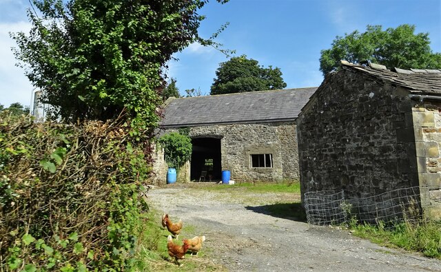
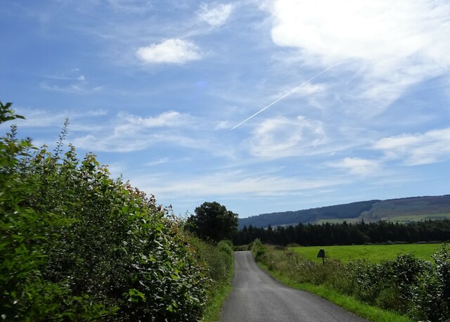
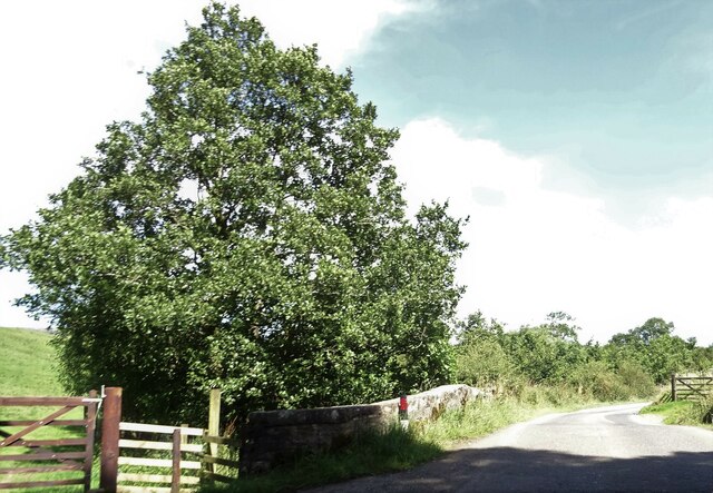
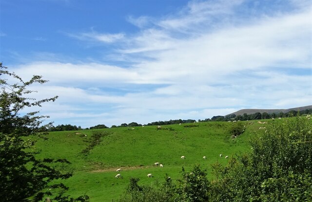
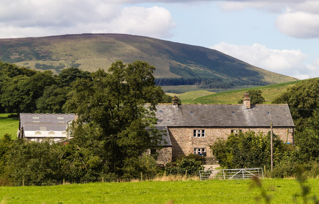
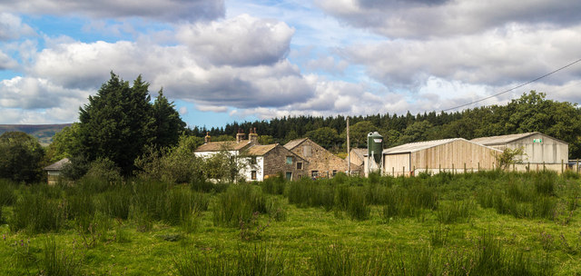
Breast Wood Images
Images are sourced within 2km of 53.902871/-2.5300555 or Grid Reference SD6545. Thanks to Geograph Open Source API. All images are credited.


Breast Wood is located at Grid Ref: SD6545 (Lat: 53.902871, Lng: -2.5300555)
Administrative County: Lancashire
District: Ribble Valley
Police Authority: Lancashire
What 3 Words
///inspected.nibbles.highly. Near Waddington, Lancashire
Nearby Locations
Related Wikis

Lower Lees Farmhouse
Lower Lees Farmhouse is a historic building in the English parish of Bowland Forest Low, Lancashire. It is Grade II listed, built in 1678, and is a sandstone...

Whitewell
Whitewell is a village within the civil parish of Bowland Forest Low and Ribble Valley borough of Lancashire, England. It is in the Forest of Bowland Area...

Higher Lees Farmhouse
Higher Lees Farmhouse is an historic building in the English parish of Bowland Forest Low, Lancashire. It is Grade II listed, built around 1780, and is...

Whitewell Hotel
Whitewell Hotel is an historic building in the English parish of Bowland Forest Low, Lancashire. It is Grade II listed, built in 1836, and is in sandstone...

Cow Ark Farmhouse
Cow Ark Farmhouse is a historic building in the English parish of Bowland Forest Low, Lancashire. It is Grade II listed, built around 1780, and is a sandstone...

Bowland-with-Leagram
Bowland-with-Leagram is a civil parish in the Ribble Valley district of Lancashire, England, covering part of the Forest of Bowland. According to the census...

River Loud
The River Loud is a river of Lancashire, England. Starting out on Parlick, the Loud meanders mainly through the parish of Chipping, tracing its course...

Bowland Forest Low
Bowland Forest Low is a civil parish in the Ribble Valley district of Lancashire, England, covering some 5,500 acres (22 km2) of the Forest of Bowland...
Nearby Amenities
Located within 500m of 53.902871,-2.5300555Have you been to Breast Wood?
Leave your review of Breast Wood below (or comments, questions and feedback).