Banghams Wood
Wood, Forest in Shropshire
England
Banghams Wood
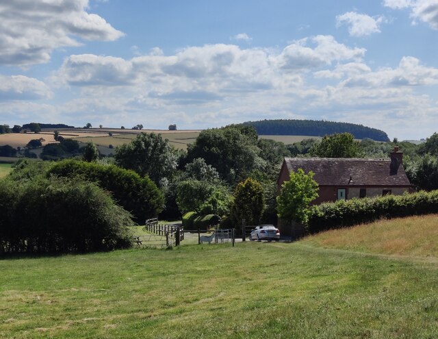
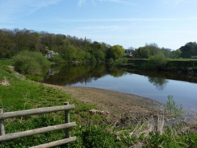
Banghams Wood is a picturesque woodland located in the county of Shropshire, England. Covering an area of approximately 200 acres, the wood is situated within the larger Banghams Wood Nature Reserve, which spans over 900 acres in total. The wood is a mixture of ancient and secondary woodland, characterized by its diverse range of tree species and vibrant flora and fauna.
The woodland boasts a rich history, with evidence of human activity dating back to the Roman era. It is believed that the wood was originally part of a larger forest that covered much of the surrounding area. Today, Banghams Wood is managed by the Shropshire Wildlife Trust, which aims to protect and enhance the natural habitat and biodiversity within the reserve.
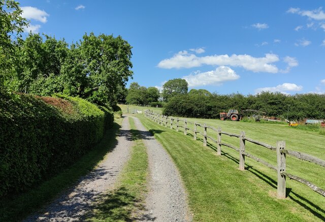
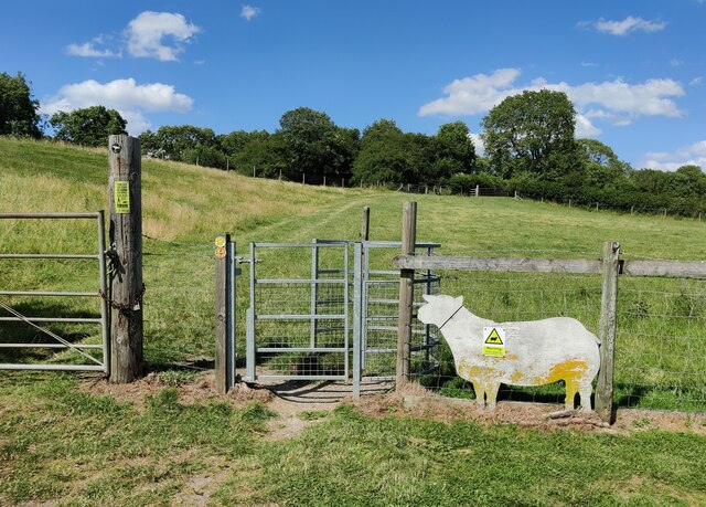
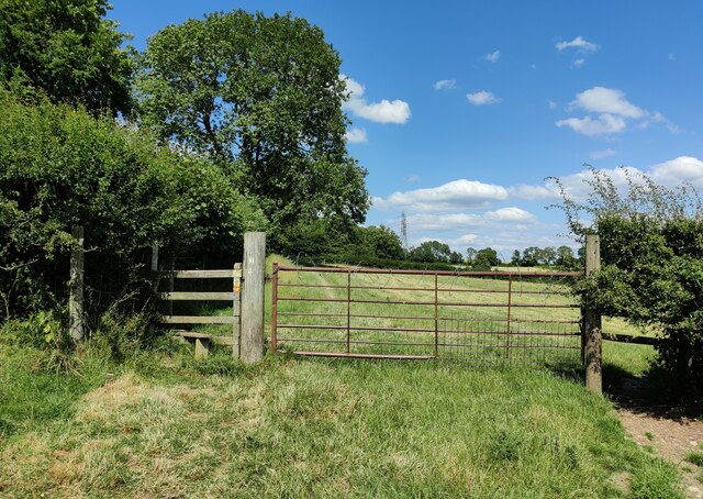
Visitors to Banghams Wood can enjoy a network of well-maintained trails, allowing them to explore the diverse landscape and discover its hidden treasures. The wood is home to a variety of wildlife, including rare species such as the lesser spotted woodpecker and the purple hairstreak butterfly. Additionally, a small pond within the wood attracts a range of aquatic creatures and provides a tranquil spot for reflection.
The woodland is especially enchanting during the spring months when the forest floor is carpeted with colorful wildflowers, including bluebells and primroses. The vibrant foliage during the autumn months also provides a stunning backdrop for nature enthusiasts and photographers.
Banghams Wood offers a serene escape from the hustle and bustle of everyday life, providing visitors with an opportunity to immerse themselves in the beauty of nature and experience the tranquility of this ancient forest.
If you have any feedback on the listing, please let us know in the comments section below.
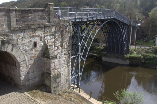
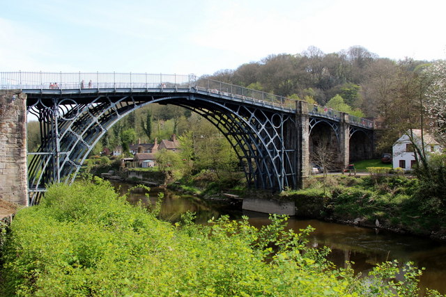
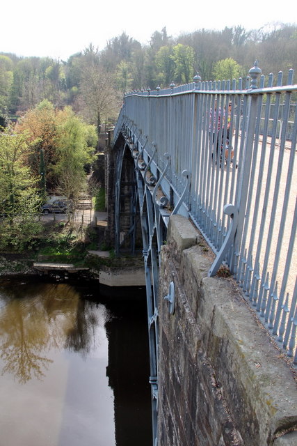
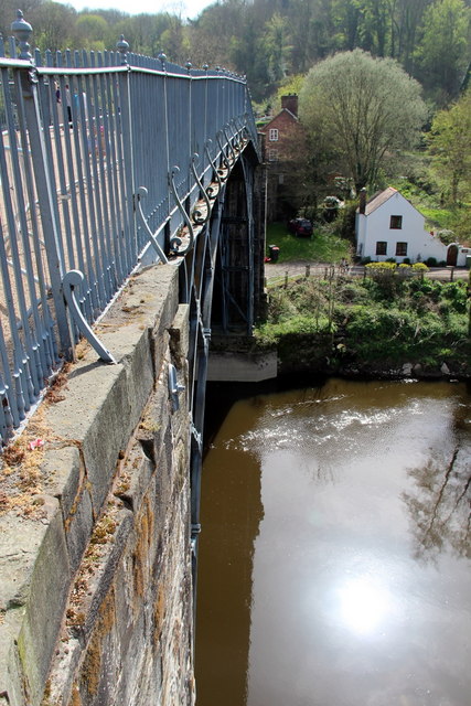
Banghams Wood Images
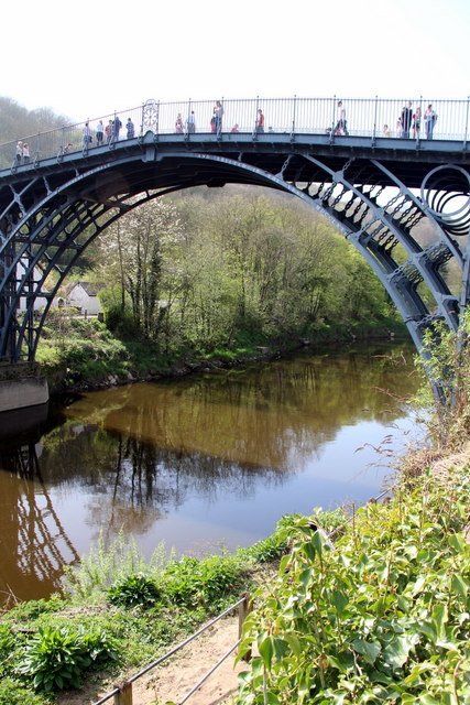
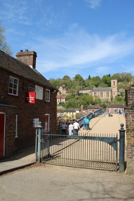
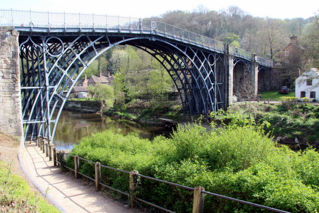
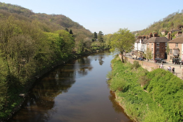
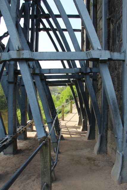
Images are sourced within 2km of 52.627491/-2.5145067 or Grid Reference SJ6503. Thanks to Geograph Open Source API. All images are credited.

Banghams Wood is located at Grid Ref: SJ6503 (Lat: 52.627491, Lng: -2.5145067)
Unitary Authority: Shropshire
Police Authority: West Mercia
What 3 Words
///seabirds.outfit.zoomed. Near Ironbridge, Shropshire
Nearby Locations
Related Wikis

Ironbridge power stations
The Ironbridge power stations (also known as the Buildwas power stations) refers to a series of two power stations that occupied a site on the banks of...

Buildwas railway station
Buildwas railway station was an isolated junction railway station on the Wellington to Craven Arms Railway and Severn Valley Railway. Opened on 1 February...
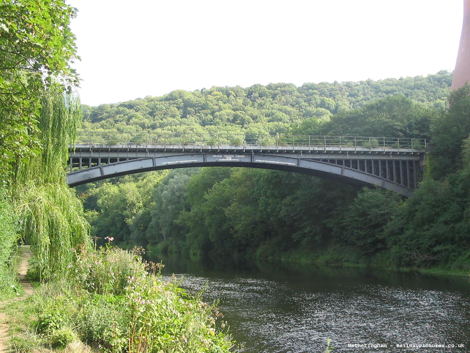
Albert Edward Bridge
The Albert Edward Bridge is a railway bridge spanning the River Severn at Coalbrookdale in Shropshire, England. == History == Opened on 1 November 1864...

Benthall Hall
Benthall Hall is a 16th-century English country house in Benthall in the town of Broseley, Shropshire, England, and a few miles from the historic Ironbridge...
Nearby Amenities
Located within 500m of 52.627491,-2.5145067Have you been to Banghams Wood?
Leave your review of Banghams Wood below (or comments, questions and feedback).