Green Quarries Plantation

Wood, Forest in Somerset Mendip

England

Green Quarries Plantation

Doulting cross
Doulting cross Credit: thejackrustles

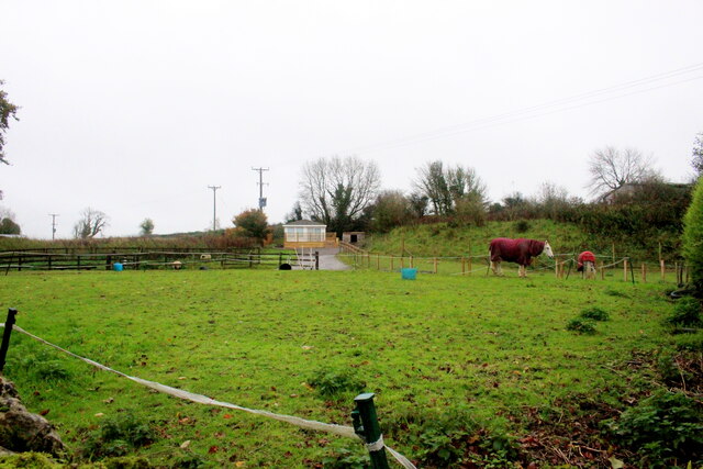
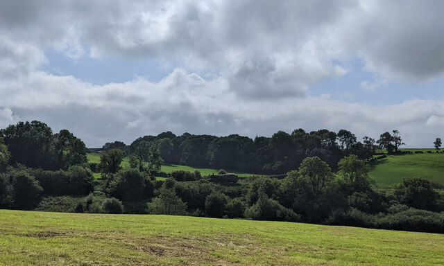
Green Quarries Plantation is a picturesque woodland area located in Somerset, England. Spanning over a vast area, it encompasses a rich diversity of flora and fauna, making it a haven for nature enthusiasts and wildlife lovers alike.

The plantation is named after the old quarries that once operated in the area, which have now been transformed into beautiful green spaces. These former quarries have been carefully restored and reforested, resulting in a thriving forest ecosystem that is now protected and managed by local authorities.

The woodland boasts a stunning variety of tree species, including oak, beech, birch, and pine, creating a lush and vibrant canopy overhead. This diverse habitat provides a sanctuary for numerous bird species, such as woodpeckers, owls, and jays, as well as small mammals like squirrels and bats.

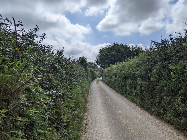
Visitors to Green Quarries Plantation can enjoy a range of recreational activities, including hiking, cycling, and nature walks. The well-maintained trails meander through the woodland, offering breathtaking views of the surrounding countryside. In addition, there are designated picnic areas and benches where visitors can relax and soak in the peaceful atmosphere.

The plantation also plays an important role in conservation efforts, with ongoing initiatives to protect and enhance the natural environment. Local conservation groups often organize educational programs and guided tours, providing visitors with insights into the plantation's ecological significance and the importance of sustainable land management.

With its stunning scenery, diverse wildlife, and commitment to conservation, Green Quarries Plantation is a true gem of Somerset, offering a serene escape for those seeking solace in nature's embrace.

If you have any feedback on the listing, please let us know in the comments section below.

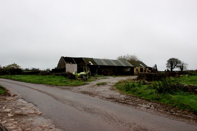
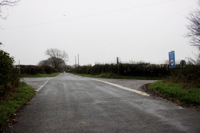
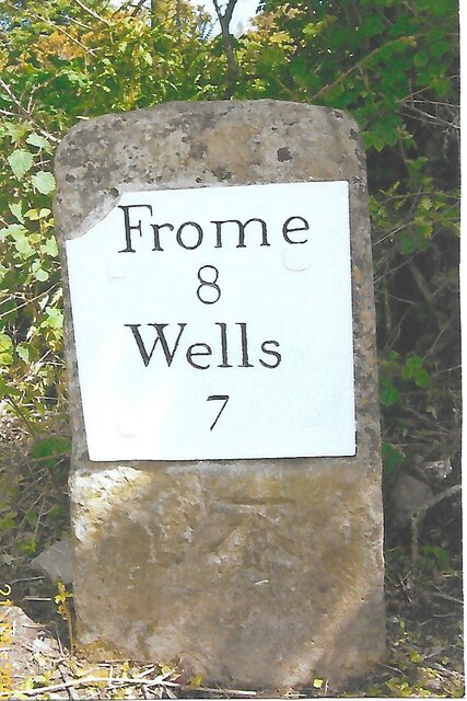
Green Quarries Plantation Images

Images are sourced within 2km of 51.190764/-2.4991248 or Grid Reference ST6543. Thanks to Geograph Open Source API. All images are credited.

Doulting cross
Doulting cross
Lane Doulting
Lane Doulting
OS Cut Mark - Doulting, St Aldhelm's Church <span class="nowrap"><a title="https://www.bench-marks.org.uk/bm59804" rel="nofollow ugc noopener" href="https://www.bench-marks.org.uk/bm59804">Link</a><img style="margin-left:2px;" alt="External link" title="External link - shift click to open in new window" src="https://s1.geograph.org.uk/img/external.png" width="10" height="10"/></span>
OS Cut Mark - Doulting, St Aldhelm's Church
Section of St Aldhelm's Church, Doulting
Houses on Church Lane Doulting At the far end of the house on the right is a small structure housing an old hand pump which was the supply of fresh water for the village . A bit further away is St Aldhelms well which is a much larger spring and the source of the River Sheppey.
Houses on Church Lane Doulting
At the far end of the house on the right is a small structure housing an old hand pump which was the supply of fresh water for the village . A bit further away is St Aldhelms well which is a much larger spring and the source of the River Sheppey.
Old Water Pump in Doulting  The pump handle of this pump is now locked. It has an undated brass plate in memory of Scot Pike.
Old Water Pump in Doulting
The pump handle of this pump is now locked. It has an undated brass plate in memory of Scot Pike.
Water Pump in Doulting (detail) This shows the Brass memorial plate in memory of Scot Pike
Water Pump in Doulting (detail)
This shows the Brass memorial plate in memory of Scot Pike
Horse Paddock on Bodden Lane A small paddock on the edge of this tiny hamlet with a pair of windswept ponies.
Horse Paddock on Bodden Lane
A small paddock on the edge of this tiny hamlet with a pair of windswept ponies.
Bodden Lane Bodden Lane runs south from the small hamlet of Boddeen downhill to the town of Shepton Mallet
Bodden Lane
Bodden Lane runs south from the small hamlet of Boddeen downhill to the town of Shepton Mallet
Farm Buildings at Higher Farm Higher Farm is the most northerly of the farms located at the hamlet of Bodden just north east of Shepton Mallet.
Farm Buildings at Higher Farm
Higher Farm is the most northerly of the farms located at the hamlet of Bodden just north east of Shepton Mallet.
Crossroads on Waggon and Horses Hill This is the crossroads where King's Road running up Waggon and Horses Hill crosses Bolters Lane.
Crossroads on Waggon and Horses Hill
This is the crossroads where King's Road running up Waggon and Horses Hill crosses Bolters Lane.
Old Milestone by A361, West of Cranmore, near quarry entrance The Milestone is located in the hedge beside the South side of the road.  Parish of Cranmore (Mendip District). Cast iron post, plated iron casting design, erected by the Shepton Mallet turnpike trust in the 19th Century, has been broken and welded back together (on back of top "BUCI") and repositioned. An earlier photograph can be found here: <a title="https://www.geograph.org.uk/photo/5324456" href="https://www.geograph.org.uk/photo/5324456">Link</a> 

Inscription reads:- 
SHEPTON / MALLET / 3 : : FROME / 9 : : LONDON / 112  

Milestone Society National ID: SO_SMFR03
Old Milestone by A361, West of Cranmore, near quarry entrance
The Milestone is located in the hedge beside the South side of the road.  Parish of Cranmore (Mendip District). Cast iron post, plated iron casting design, erected by the Shepton Mallet turnpike trust in the 19th Century, has been broken and welded back together (on back of top "BUCI") and repositioned. An earlier photograph can be found here: Link  Inscription reads:- SHEPTON / MALLET / 3 : : FROME / 9 : : LONDON / 112 Milestone Society National ID: SO_SMFR03
Old Milestone near Long Cross crossroads The Milestone is located on grass verge among undergrowth on the North of the road.  Parish of Doulting (Mendip District). Metal plate attached to stone post, Frome square iron plate design, erected by the Frome turnpike trust in the 19th Century, broken top left corner of plate. An earlier photograph can be found here:  <a title="https://www.geograph.org.uk/photo/6099211" href="https://www.geograph.org.uk/photo/6099211">Link</a> 

Inscription reads:-  
FROME / 8 / WELLS / 7  

Grade II listed. List Entry Number: 1221602 <span class="nowrap"><a title="https://historicengland.org.uk/listing/the-list/list-entry/1221602" rel="nofollow ugc noopener" href="https://historicengland.org.uk/listing/the-list/list-entry/1221602">Link</a><img style="margin-left:2px;" alt="External link" title="External link - shift click to open in new window" src="https://s1.geograph.org.uk/img/external.png" width="10" height="10"/></span> 

Milestone Society National ID: SO_FRWL08
Old Milestone near Long Cross crossroads
The Milestone is located on grass verge among undergrowth on the North of the road.  Parish of Doulting (Mendip District). Metal plate attached to stone post, Frome square iron plate design, erected by the Frome turnpike trust in the 19th Century, broken top left corner of plate. An earlier photograph can be found here:  Link Inscription reads:- FROME / 8 / WELLS / 7 Grade II listed. List Entry Number: 1221602 LinkExternal link Milestone Society National ID: SO_FRWL08
The A361 heading east
Steam engine in the distance near Doulting
Houses in Doulting
Houses in Doulting
King's Road looking north
Farrington Lane, looking south
Show me another place!

Green Quarries Plantation is located at Grid Ref: ST6543 (Lat: 51.190764, Lng: -2.4991248)

Administrative County: Somerset

District: Mendip

Police Authority: Avon and Somerset

What 3 Words

///fully.action.hoops. Near Shepton Mallet, Somerset

Related Wikis

Doulting Stone Quarry

Doulting Stone Quarry (grid reference ST648436) is a limestone quarry at Doulting, on the Mendip Hills, Somerset, England. At present there are only three...

Doulting

Doulting is a village and civil parish 1.5 miles (2 km) east of Shepton Mallet, on the A361, in the Mendip district of Somerset, England. == History... ==

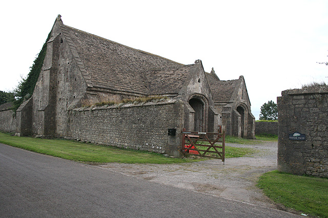
Tithe Barn, Manor Farm, Doulting

The Tithe Barn at Manor Farm (also known as Abbey Barn) in Doulting, Somerset, England, was built in the 15th century, and has been designated as a Grade...

St Aldhelm's Well

St Aldhelm's Well in Doulting, Somerset, England, is an ancient spring which is the source of the River Sheppey. The site is a Grade II listed building...

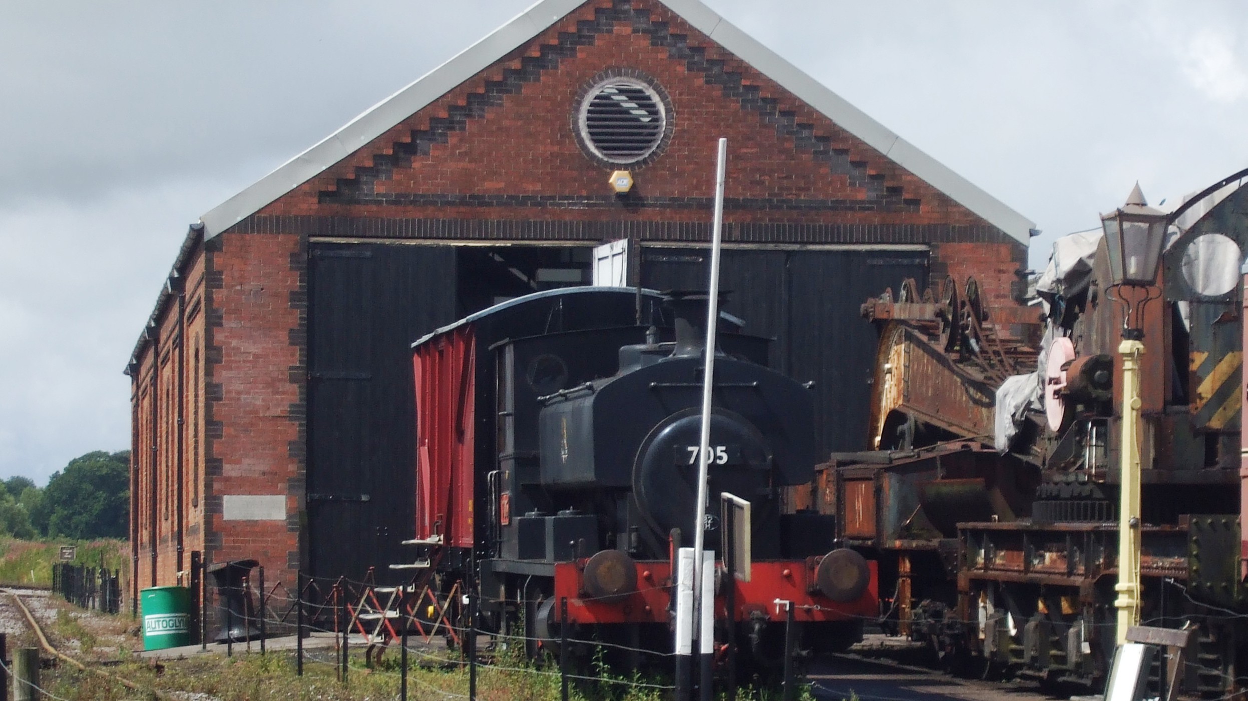
Merryfield Lane railway station

Merryfield Lane Halt is a railway station at the summit of the East Somerset Railway. It was built in 1981 and originally served as the terminus of the...

Doulting Railway Cutting

Doulting Railway Cutting (grid reference ST648424) is a 2.8 hectare geological Site of Special Scientific Interest in Somerset, notified in 1971. The cutting...

Cranmore West railway station

Cranmore West is a disused railway station on the East Somerset Railway. == Services == Services ceased calling at the beginning of the 2022 season, pending...

Cranmore, Somerset

Cranmore is a village and civil parish east of Shepton Mallet, in the Mendip district of Somerset, England. The parish includes the hamlets of Waterlip...

Nearby Amenities

Located within 500m of 51.190764,-2.4991248
Chelynch
Place: hamlet
Source: NPE
Lat/Long: 51.193996/-2.5029516
Booth: K6
Covered: booth
Man Made: telephone_box
Lat/Long: 51.1878507/-2.5043098
Bench
Lat/Long: 51.1878121/-2.5043098
The data included in this document is from www.openstreetmap.org. The data is made available under ODbL.

Have you been to Green Quarries Plantation?

Leave your review of Green Quarries Plantation below (or comments, questions and feedback).