Chelynch Wood

Wood, Forest in Somerset Mendip

England

Chelynch Wood

Doulting cross
Doulting cross Credit: thejackrustles

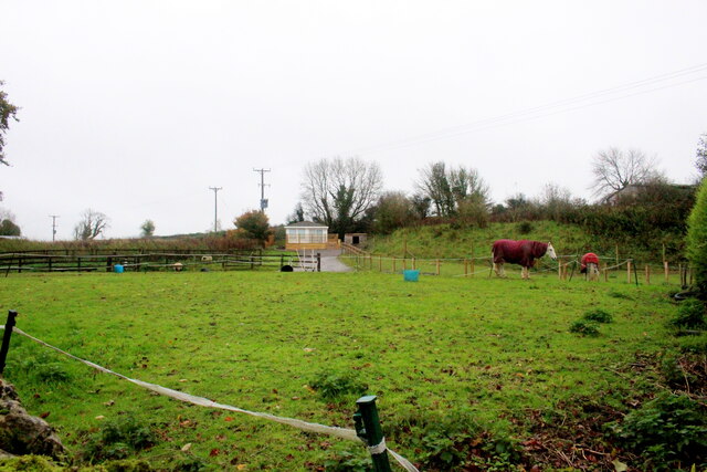
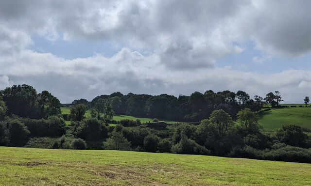
Chelynch Wood is a beautiful woodland area located in Somerset, England. Covering an area of approximately 120 acres, it is a popular destination for nature lovers and outdoor enthusiasts.

The wood is predominantly made up of mixed broadleaf trees, including oak, beech, ash, and birch, creating a diverse and vibrant ecosystem. The dense canopy provides a habitat for a variety of wildlife, including deer, foxes, badgers, and numerous bird species.

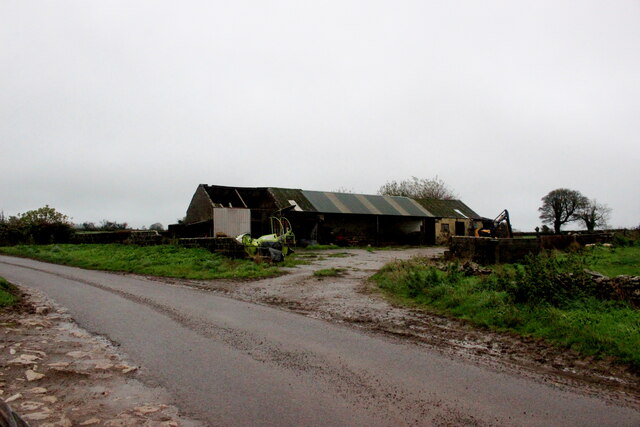
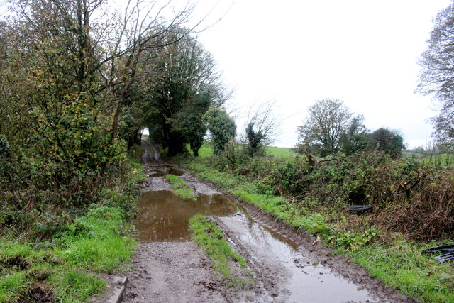
The wood is crisscrossed by a network of well-maintained footpaths, making it easily accessible for visitors. These paths allow visitors to explore the wood at their own pace, immersing themselves in the peaceful surroundings and enjoying the sights and sounds of nature.

Chelynch Wood is particularly stunning during the spring and summer months when the woodland floor becomes carpeted with bluebells and wildflowers. This creates a picturesque scene and attracts photographers and nature enthusiasts from near and far.

The wood is also home to several small ponds, adding to its natural beauty. These ponds are teeming with aquatic life, including frogs, newts, and dragonflies. They provide a valuable water source for the woodland ecosystem and are a delight to observe.

Chelynch Wood is a place of tranquility and natural beauty, allowing visitors to escape the hustle and bustle of everyday life and reconnect with nature. Whether it's a leisurely stroll, bird watching, or simply enjoying a picnic surrounded by the sights and sounds of the woodland, this Somerset gem has something to offer for everyone.

If you have any feedback on the listing, please let us know in the comments section below.

Chelynch Wood Images

Images are sourced within 2km of 51.192046/-2.5020723 or Grid Reference ST6543. Thanks to Geograph Open Source API. All images are credited.

Doulting cross
Doulting cross
Lane Doulting
Lane Doulting
OS Cut Mark - Doulting, St Aldhelm's Church <span class="nowrap"><a title="https://www.bench-marks.org.uk/bm59804" rel="nofollow ugc noopener" href="https://www.bench-marks.org.uk/bm59804">Link</a><img style="margin-left:2px;" alt="External link" title="External link - shift click to open in new window" src="https://s1.geograph.org.uk/img/external.png" width="10" height="10"/></span>
OS Cut Mark - Doulting, St Aldhelm's Church
Section of St Aldhelm's Church, Doulting
Houses on Church Lane Doulting At the far end of the house on the right is a small structure housing an old hand pump which was the supply of fresh water for the village . A bit further away is St Aldhelms well which is a much larger spring and the source of the River Sheppey.
Houses on Church Lane Doulting
At the far end of the house on the right is a small structure housing an old hand pump which was the supply of fresh water for the village . A bit further away is St Aldhelms well which is a much larger spring and the source of the River Sheppey.
Old Water Pump in Doulting  The pump handle of this pump is now locked. It has an undated brass plate in memory of Scot Pike.
Old Water Pump in Doulting
The pump handle of this pump is now locked. It has an undated brass plate in memory of Scot Pike.
Water Pump in Doulting (detail) This shows the Brass memorial plate in memory of Scot Pike
Water Pump in Doulting (detail)
This shows the Brass memorial plate in memory of Scot Pike
Horse Paddock on Bodden Lane A small paddock on the edge of this tiny hamlet with a pair of windswept ponies.
Horse Paddock on Bodden Lane
A small paddock on the edge of this tiny hamlet with a pair of windswept ponies.
Bodden Lane Bodden Lane runs south from the small hamlet of Boddeen downhill to the town of Shepton Mallet
Bodden Lane
Bodden Lane runs south from the small hamlet of Boddeen downhill to the town of Shepton Mallet
Farm Buildings at Higher Farm Higher Farm is the most northerly of the farms located at the hamlet of Bodden just north east of Shepton Mallet.
Farm Buildings at Higher Farm
Higher Farm is the most northerly of the farms located at the hamlet of Bodden just north east of Shepton Mallet.
A  Wet Day on the Fosse Way The route of the old Roman road can be clearly seen at this point and the track that now runs on this route is an ORPA. Other route with public access.
A Wet Day on the Fosse Way
The route of the old Roman road can be clearly seen at this point and the track that now runs on this route is an ORPA. Other route with public access.
Crossroads on Waggon and Horses Hill This is the crossroads where King's Road running up Waggon and Horses Hill crosses Bolters Lane.
Crossroads on Waggon and Horses Hill
This is the crossroads where King's Road running up Waggon and Horses Hill crosses Bolters Lane.
Old Milestone by A361, West of Cranmore, near quarry entrance The Milestone is located in the hedge beside the South side of the road.  Parish of Cranmore (Mendip District). Cast iron post, plated iron casting design, erected by the Shepton Mallet turnpike trust in the 19th Century, has been broken and welded back together (on back of top "BUCI") and repositioned. An earlier photograph can be found here: <a title="https://www.geograph.org.uk/photo/5324456" href="https://www.geograph.org.uk/photo/5324456">Link</a> 

Inscription reads:- 
SHEPTON / MALLET / 3 : : FROME / 9 : : LONDON / 112  

Milestone Society National ID: SO_SMFR03
Old Milestone by A361, West of Cranmore, near quarry entrance
The Milestone is located in the hedge beside the South side of the road.  Parish of Cranmore (Mendip District). Cast iron post, plated iron casting design, erected by the Shepton Mallet turnpike trust in the 19th Century, has been broken and welded back together (on back of top "BUCI") and repositioned. An earlier photograph can be found here: Link  Inscription reads:- SHEPTON / MALLET / 3 : : FROME / 9 : : LONDON / 112 Milestone Society National ID: SO_SMFR03
Old Milestone near Long Cross crossroads The Milestone is located on grass verge among undergrowth on the North of the road.  Parish of Doulting (Mendip District). Metal plate attached to stone post, Frome square iron plate design, erected by the Frome turnpike trust in the 19th Century, broken top left corner of plate. An earlier photograph can be found here:  <a title="https://www.geograph.org.uk/photo/6099211" href="https://www.geograph.org.uk/photo/6099211">Link</a> 

Inscription reads:-  
FROME / 8 / WELLS / 7  

Grade II listed. List Entry Number: 1221602 <span class="nowrap"><a title="https://historicengland.org.uk/listing/the-list/list-entry/1221602" rel="nofollow ugc noopener" href="https://historicengland.org.uk/listing/the-list/list-entry/1221602">Link</a><img style="margin-left:2px;" alt="External link" title="External link - shift click to open in new window" src="https://s1.geograph.org.uk/img/external.png" width="10" height="10"/></span> 

Milestone Society National ID: SO_FRWL08
Old Milestone near Long Cross crossroads
The Milestone is located on grass verge among undergrowth on the North of the road.  Parish of Doulting (Mendip District). Metal plate attached to stone post, Frome square iron plate design, erected by the Frome turnpike trust in the 19th Century, broken top left corner of plate. An earlier photograph can be found here:  Link Inscription reads:- FROME / 8 / WELLS / 7 Grade II listed. List Entry Number: 1221602 LinkExternal link Milestone Society National ID: SO_FRWL08
The A361 heading east
Steam engine in the distance near Doulting
Houses in Doulting
Houses in Doulting
King's Road looking north
Show me another place!

Chelynch Wood is located at Grid Ref: ST6543 (Lat: 51.192046, Lng: -2.5020723)

Administrative County: Somerset

District: Mendip

Police Authority: Avon and Somerset

What 3 Words

///revamped.vibrate.scooters. Near Shepton Mallet, Somerset

Related Wikis

Doulting Stone Quarry

Doulting Stone Quarry (grid reference ST648436) is a limestone quarry at Doulting, on the Mendip Hills, Somerset, England. At present there are only three...

Doulting

Doulting is a village and civil parish 1.5 miles (2 km) east of Shepton Mallet, on the A361, in the Mendip district of Somerset, England. == History... ==

St Aldhelm's Well

St Aldhelm's Well in Doulting, Somerset, England, is an ancient spring which is the source of the River Sheppey. The site is a Grade II listed building...

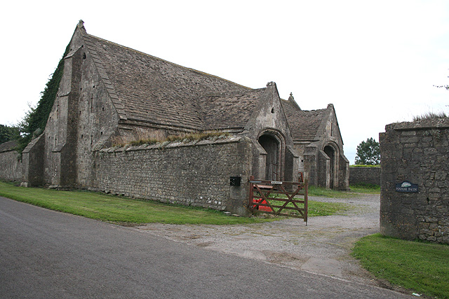
Tithe Barn, Manor Farm, Doulting

The Tithe Barn at Manor Farm (also known as Abbey Barn) in Doulting, Somerset, England, was built in the 15th century, and has been designated as a Grade...

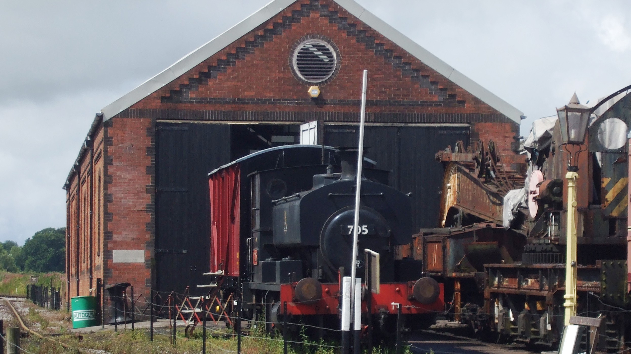
Merryfield Lane railway station

Merryfield Lane Halt is a railway station at the summit of the East Somerset Railway. It was built in 1981 and originally served as the terminus of the...

Doulting Railway Cutting

Doulting Railway Cutting (grid reference ST648424) is a 2.8 hectare geological Site of Special Scientific Interest in Somerset, notified in 1971. The cutting...

Cranmore West railway station

Cranmore West is a disused railway station on the East Somerset Railway. == Services == Services ceased calling at the beginning of the 2022 season, pending...

Cranmore, Somerset

Cranmore is a village and civil parish east of Shepton Mallet, in the Mendip district of Somerset, England. The parish includes the hamlets of Waterlip...

Nearby Amenities

Located within 500m of 51.192046,-2.5020723
Chelynch
Place: hamlet
Source: NPE
Lat/Long: 51.193996/-2.5029516
Booth: K6
Covered: booth
Man Made: telephone_box
Lat/Long: 51.1878507/-2.5043098
Bench
Lat/Long: 51.1878121/-2.5043098
The data included in this document is from www.openstreetmap.org. The data is made available under ODbL.

Have you been to Chelynch Wood?

Leave your review of Chelynch Wood below (or comments, questions and feedback).