Ardarroch

Settlement in Ross-shire

Scotland

Ardarroch

Seafield and Kishorn Port Viewed from the A896. The vessel is the ‘Voyageur Spirit’ a floating Storage / Production vessel. The Seafield Centre can be seen at the end of the track.
Seafield and Kishorn Port Credit: Richard Kay

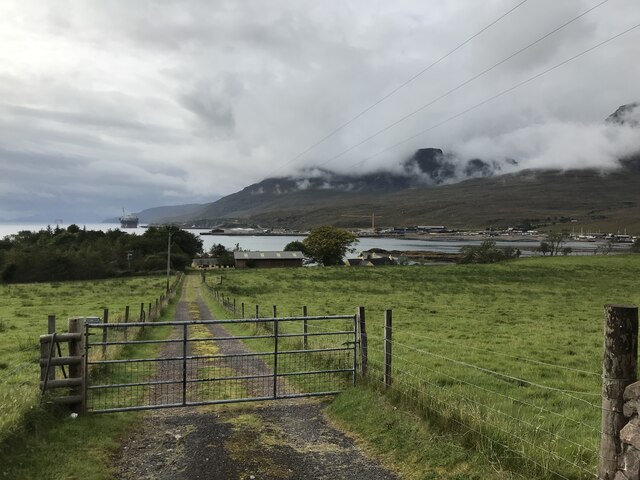
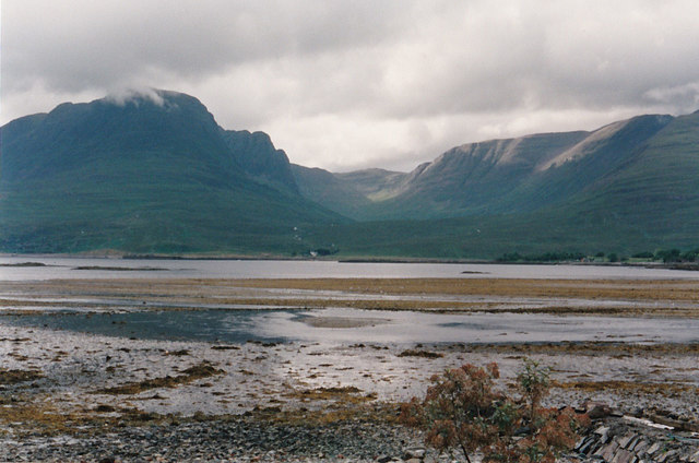
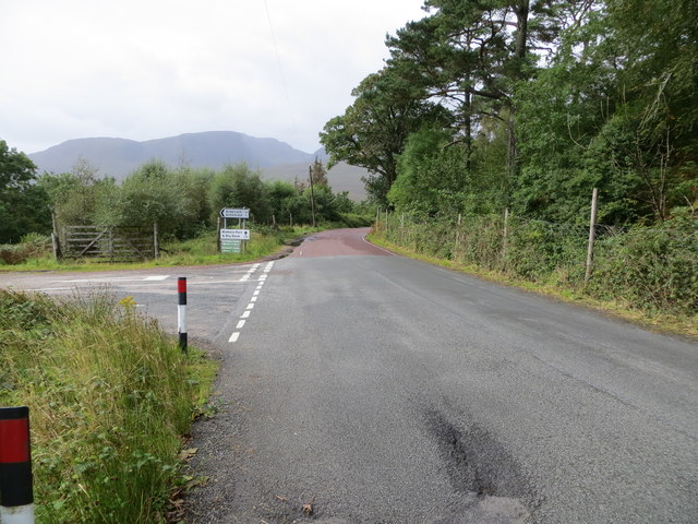
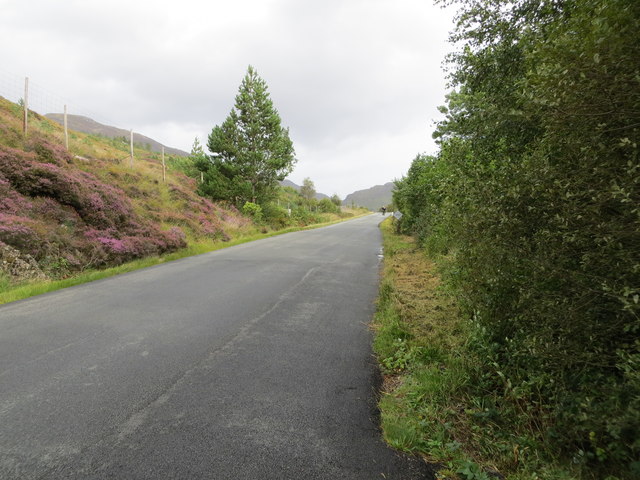
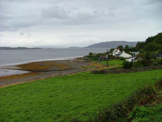
Ardarroch is a picturesque rural village located in the county of Ross-shire, Scotland. Situated amidst the stunning Scottish Highlands, it is nestled between the towns of Ullapool and Dingwall. The village is known for its breathtaking scenery, with rolling hills, lush green landscapes, and panoramic views of nearby Loch Broom.

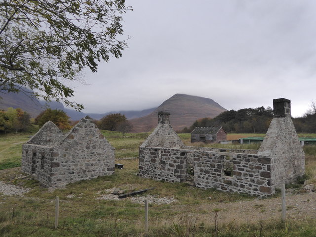
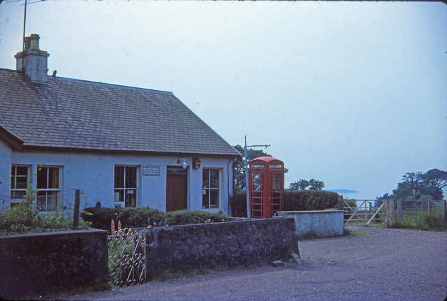
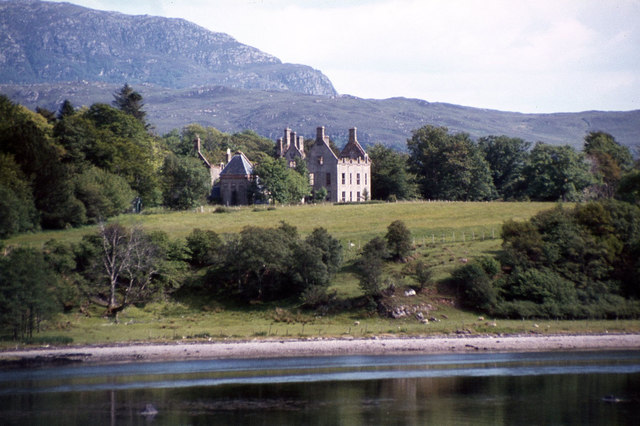
Ardarroch is a small community with a population of around 200 residents. The village retains its traditional charm, with a collection of quaint cottages and houses that reflect its historic past. Many of these buildings date back several centuries and showcase the local architectural style.

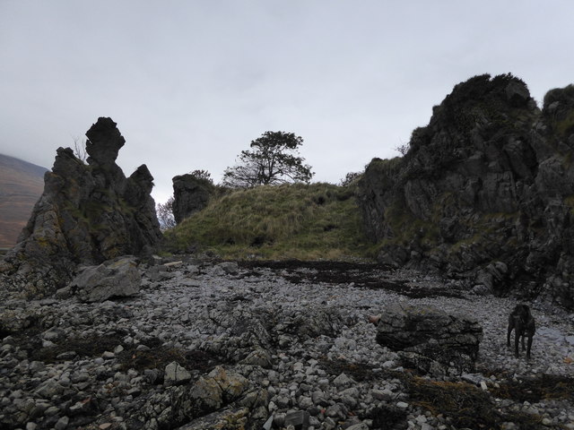
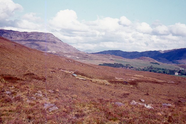
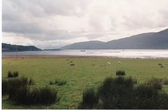
The village is surrounded by an abundance of natural beauty and outdoor recreational opportunities. The nearby hills and mountains attract hikers, climbers, and nature enthusiasts who come to explore the rugged landscapes and enjoy the fresh air. Loch Broom provides opportunities for fishing, boating, and wildlife spotting, with an array of bird species and marine life to be observed.

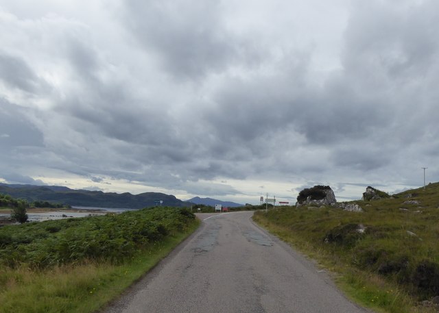
Despite its rural setting, Ardarroch is not far from essential amenities and services. The town of Ullapool, just a short drive away, offers a range of shops, restaurants, and cafes, as well as a ferry terminal providing connections to the Outer Hebrides. The village also benefits from good road links, making it easily accessible for both residents and visitors.

In summary, Ardarroch is a tranquil and idyllic village in Ross-shire, Scotland, offering a peaceful retreat for those seeking to immerse themselves in the natural beauty of the Scottish Highlands.

If you have any feedback on the listing, please let us know in the comments section below.
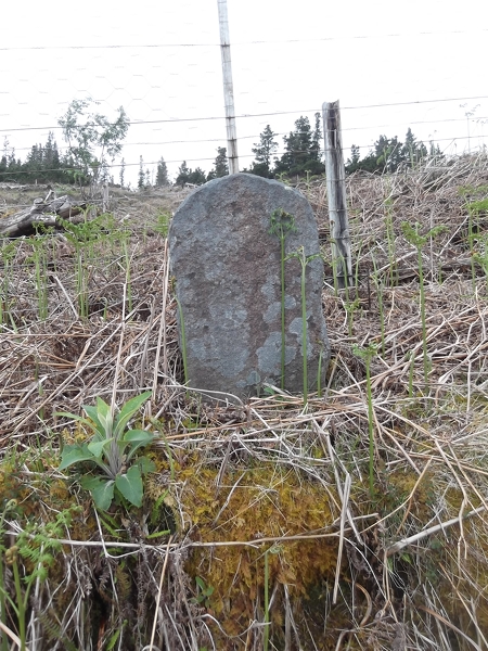
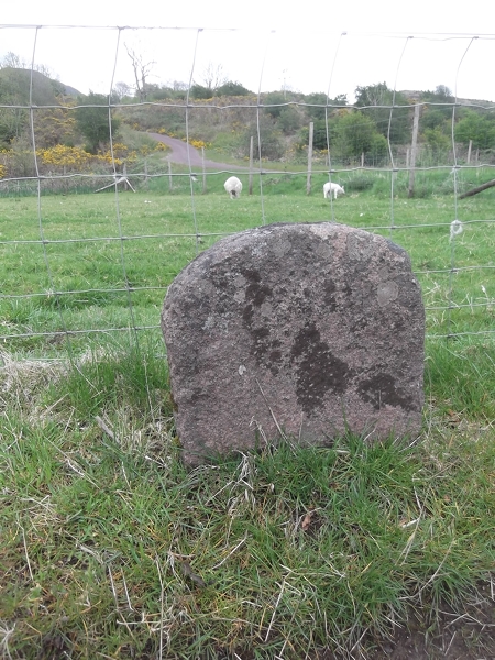
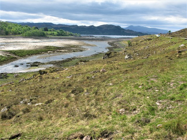
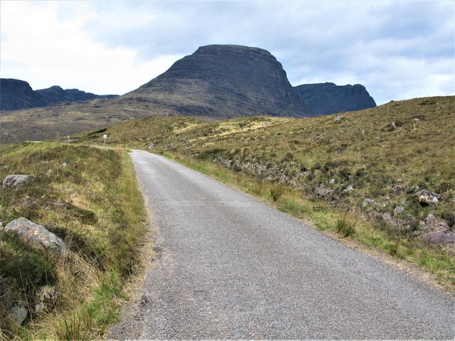
Ardarroch Images

Images are sourced within 2km of 57.396101/-5.602513 or Grid Reference NG8339. Thanks to Geograph Open Source API. All images are credited.

Seafield and Kishorn Port Viewed from the A896. The vessel is the ‘Voyageur Spirit’ a floating Storage / Production vessel. The Seafield Centre can be seen at the end of the track.
Seafield and Kishorn Port
Viewed from the A896. The vessel is the ‘Voyageur Spirit’ a floating Storage / Production vessel. The Seafield Centre can be seen at the end of the track.
Eroded rocks at Seafield, Kishorn
Ruined houses at Seafield,  Kishorn
Ruined houses at Seafield, Kishorn
Junction for Russel and Kishorn Dry Dock
Kishorn Post Office Kishorn Post Office in 1976
Kishorn Post Office
Kishorn Post Office in 1976
View South East From The Applecross Road
View across Loch Kishorn A scanned image of a print taken in 1993 from near our holiday cottage. We were there for two weeks and it rained at some point every day but it was still a wonderful holiday.
View across Loch Kishorn
A scanned image of a print taken in 1993 from near our holiday cottage. We were there for two weeks and it rained at some point every day but it was still a wonderful holiday.
Loch Kishorn Another holiday photo - a rare one when it was not raining. Taken on film and scanned 25 years later.
Loch Kishorn
Another holiday photo - a rare one when it was not raining. Taken on film and scanned 25 years later.
Old Milestone by the A896, east of Sanachan, Lochcarron parish Stone post by the A896, in parish of Lochcarron (Highland District), East of Sanachan, on high banking in felled forestry.

Inscription once read:-
(Shieldaig)
(11)
(Lochcarron)
(5)

Surveyed

Milestone Society National ID: HI_LCTR04
Old Milestone by the A896, east of Sanachan, Lochcarron parish
Stone post by the A896, in parish of Lochcarron (Highland District), East of Sanachan, on high banking in felled forestry. Inscription once read:- (Shieldaig) (11) (Lochcarron) (5) Surveyed Milestone Society National ID: HI_LCTR04
Old Milestone by the A896, near Seafield House, Lochcarron parish Stone post by the A896, in parish of Lochcarron (Highland District), Seafield House, near yellow gates.

Inscription once read:-
(Shieldaig)
(10)
(Lochcarron)
(2)

Surveyed

Milestone Society National ID: HI_LCTR05
Old Milestone by the A896, near Seafield House, Lochcarron parish
Stone post by the A896, in parish of Lochcarron (Highland District), Seafield House, near yellow gates. Inscription once read:- (Shieldaig) (10) (Lochcarron) (2) Surveyed Milestone Society National ID: HI_LCTR05
Head of Loch Kishorn Loch Kishorn is a sea loch, a northern branch of the much larger Loch Carron. This is the point where the River Kishorn flows into Loch Kishorn.
Head of Loch Kishorn
Loch Kishorn is a sea loch, a northern branch of the much larger Loch Carron. This is the point where the River Kishorn flows into Loch Kishorn.
Eastern End of the Bealach na Bà Road The point where you begin to realise the steepness of the road ahead, the third highest road in Scotland.
The imposing profile of Sgùrr a'Chaorachain is prominent in the background.
Eastern End of the Bealach na Bà Road
The point where you begin to realise the steepness of the road ahead, the third highest road in Scotland. The imposing profile of Sgùrr a'Chaorachain is prominent in the background.
Road (A896) heading towards Kishorn Looking north-westward from the junction with the road from Ardarroch.
Road (A896) heading towards Kishorn
Looking north-westward from the junction with the road from Ardarroch.
Road (A896) near Sanachan Looking eastward in the direction of Lochcarron.
Road (A896) near Sanachan
Looking eastward in the direction of Lochcarron.
Hillside track to the north of Glenbeg Looking north-westward.
Hillside track to the north of Glenbeg
Looking north-westward.
Ruins of Courthill House at Kishorn
Oil rig construction site at Kishorn
Oil rig construction site at Kishorn & view to An Sgurr
Show me another place!

Ardarroch is located at Grid Ref: NG8339 (Lat: 57.396101, Lng: -5.602513)

Unitary Authority: Highland

Police Authority: Highlands and Islands

What 3 Words

///tanked.game.anchorman. Near Lochcarron, Highland

Related Wikis

Ardarroch

Ardarroch is a small hamlet, located in what is commonly known as the Kishorn area, on the north east shore of Loch Kishorn, within the Strathcarron...

Achintraid

Achintraid (Scottish Gaelic: Achadh na Tràghad) is a small one-time crofting township, situated at the north-eastern end of the sea loch Loch Kishorn,...

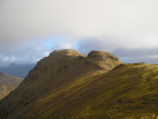
An Sgùrr (Lochcarron)

An Sgùrr is a hill in Scotland, occupying the broad peninsula between Loch Carron and Loch Kishorn. It has the appearance of a rough knoll, with small...

Loch Kishorn

Loch Kishorn (Scottish Gaelic: Ciseòrn) is a sea loch in the north-west Highlands of Scotland. Kishorn is a collective name used to refer to a group of...

Bad a' Chreamha

Bad a' Chreamha is a small hill in Scotland, occupying the broad peninsula between Loch Carron and Loch Kishorn. It consists of a long low ridge; the northwestern...

Ardaneaskan

Ardaneaskan (Scottish Gaelic: Àird nan Easgann) is a village on the north shore of Loch Carron in Strathcarron, Ross-shire, in Highland, and is within...

Sgùrr a' Chaorachain (Corbett)

Sgurr a' Chaorachain (792 m) is a mountain in the Northwest Highlands, Scotland, on the remote Applecross peninsula in the North of Scotland. A fine sandstone...
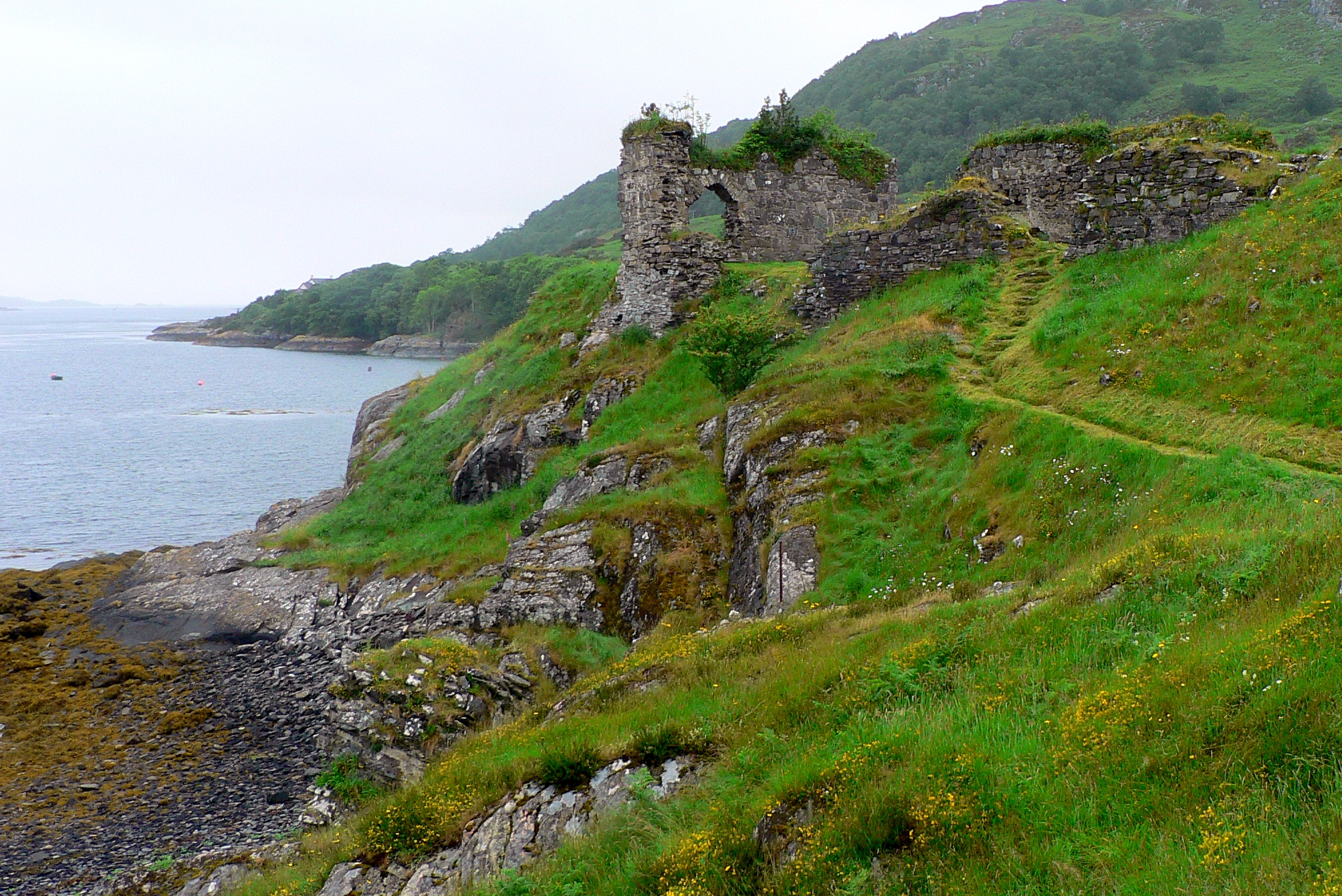
Strome Castle

Strome Castle is a ruined castle on the shore of Loch Carron in Stromemore, 3.5 miles south-west of the village of Lochcarron, on the headland between...

Nearby Amenities

Located within 500m of 57.396101,-5.602513
Source: PGS
Lat/Long: 57.3954055/-5.5984786
Source: PGS
Lat/Long: 57.3950772/-5.5979257
Source: PGS
Lat/Long: 57.3949373/-5.597805
Source: PGS
Lat/Long: 57.3947384/-5.5976331
Source: PGS
Lat/Long: 57.3931941/-5.5962463
Created By: Merkaartor 0.12
Lat/Long: 57.399045/-5.5981109
Created By: Merkaartor 0.12
Lat/Long: 57.39883/-5.6052279
Created By: Merkaartor 0.12
Lat/Long: 57.3987979/-5.6031979
Created By: Merkaartor 0.12
Lat/Long: 57.3986183/-5.6052267
Created By: Merkaartor 0.12
Lat/Long: 57.3983784/-5.6050765
Created By: Merkaartor 0.12
Lat/Long: 57.3973899/-5.6040894
Created By: Merkaartor 0.12
Lat/Long: 57.3964476/-5.6029361
Created By: Merkaartor 0.12
Lat/Long: 57.3960343/-5.6025176
Created By: Merkaartor 0.12
Lat/Long: 57.3959331/-5.6022441
Created By: Merkaartor 0.12
Lat/Long: 57.39591/-5.6017613
Created By: Merkaartor 0.12
Lat/Long: 57.395988/-5.6011229
Created By: Merkaartor 0.12
Lat/Long: 57.396011/-5.6006119
Created By: Merkaartor 0.12
Lat/Long: 57.3959619/-5.60035
Created By: Merkaartor 0.12
Lat/Long: 57.3955545/-5.5983709
Created By: Merkaartor 0.12
Lat/Long: 57.395455/-5.598001
Created By: Merkaartor 0.12
Lat/Long: 57.3952943/-5.5977004
Created By: Merkaartor 0.12
Lat/Long: 57.394271/-5.5961769
Created By: Merkaartor 0.12
Lat/Long: 57.3940803/-5.5957799
Post Box
Collection Times: Mo-Sa 09:15
Post Box Design: type_n
Post Box Type: lamp
Ref: IV54 240
Royal Cypher: scottish_crown
Source: survey
Lat/Long: 57.3988871/-5.5991597
Created By: Merkaartor 0.12
Lat/Long: 57.399192/-5.6064799
Created By: Merkaartor 0.12
Lat/Long: 57.3989839/-5.605968
Bus Stop
Kishorn
Bench: no
Bin: yes
Lit: no
Naptan AtcoCode: 6700712902
Naptan Bearing: E
Naptan CommonName: Kishorn
Naptan Indicator: opp Post Office
Naptan Landmark: Shop
Naptan NaptanCode: 45328368
Naptan Street: A896
Naptan Verified: no
Shelter: no
Source: naptan_import
Tactile Paving: no
Lat/Long: 57.3989347/-5.599242
Kishorn
Name Gd: Ciseòrn
Place: hamlet
Lat/Long: 57.3974/-5.601585
Barrier: cattle_grid
Lat/Long: 57.3947571/-5.5957456
Power: pole
Lat/Long: 57.3976343/-5.5997705
Material: wood
Power: pole
Lat/Long: 57.3968861/-5.6015762
Power: pole
Lat/Long: 57.3981387/-5.5973629
Power: pole
Lat/Long: 57.3987648/-5.6068562
Power: pole
Lat/Long: 57.3989799/-5.6068215
Power: pole
Lat/Long: 57.3994618/-5.6067136
Power: pole
Lat/Long: 57.4000593/-5.6056561
Material: wood
Power: pole
Lat/Long: 57.3945963/-5.5968146
Material: wood
Power: pole
Lat/Long: 57.395856/-5.599351
Material: wood
Power: pole
Lat/Long: 57.3961369/-5.599666
Material: wood
Power: pole
Lat/Long: 57.3964969/-5.6000695
Material: wood
Power: pole
Lat/Long: 57.3970281/-5.6006208
Material: wood
Power: pole
Lat/Long: 57.3949424/-5.5973537
Material: wood
Power: pole
Lat/Long: 57.3955449/-5.5979317
Telephone
Kishorn Selfie Box
Booth: K6
Covered: booth
Man Made: telephone_box
Old Phone: +44 1520 733244
Lat/Long: 57.3988736/-5.5993199
The data included in this document is from www.openstreetmap.org. The data is made available under ODbL.

Have you been to Ardarroch?

Leave your review of Ardarroch below (or comments, questions and feedback).