Calder Moor
Wood, Forest in Yorkshire Ribble Valley
England
Calder Moor

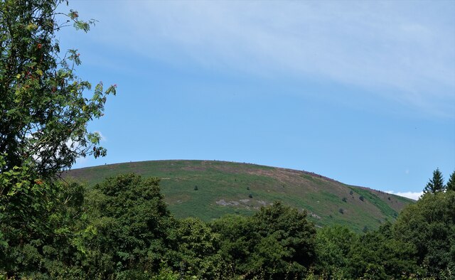
Calder Moor is a picturesque area located in the county of Yorkshire, England. Nestled within the Calder Valley, this moorland is characterized by its dense woodlands and vast forests. Spanning approximately 200 square miles, Calder Moor is renowned for its natural beauty and abundant wildlife.
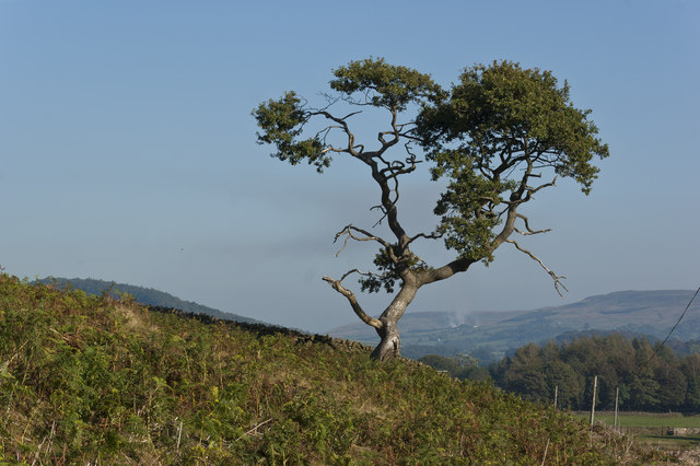
The moorland is dominated by an array of tree species, including oak, birch, and beech, which form a dense canopy over the landscape. These woodland areas provide a habitat for a diverse range of flora and fauna, attracting nature enthusiasts and wildlife photographers from far and wide.
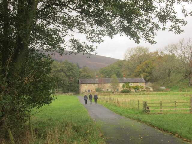
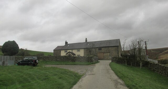
Calder Moor is also home to a number of charming villages and hamlets. These settlements are scattered throughout the area, offering a tranquil and idyllic lifestyle for residents. The local communities thrive on agriculture and forestry, with many residents involved in farming or working in the timber industry.
The moorland is crisscrossed by a network of walking trails, allowing visitors to explore the area's natural wonders. These trails offer breathtaking views of the surrounding countryside, with rolling hills and meandering streams adding to the area's charm.
Historically, Calder Moor has been inhabited for centuries, with evidence of human presence dating back to the Neolithic period. The area has a rich cultural heritage, with ancient landmarks such as standing stones and burial mounds dotting the landscape.
In conclusion, Calder Moor is a captivating destination in Yorkshire, offering a blend of natural beauty, cultural heritage, and rural charm. With its lush woodlands, picturesque villages, and diverse wildlife, it is a place that truly showcases the splendor of the English countryside.
If you have any feedback on the listing, please let us know in the comments section below.
Calder Moor Images
Images are sourced within 2km of 53.967636/-2.5365632 or Grid Reference SD6452. Thanks to Geograph Open Source API. All images are credited.


Calder Moor is located at Grid Ref: SD6452 (Lat: 53.967636, Lng: -2.5365632)
Division: West Riding
Administrative County: Lancashire
District: Ribble Valley
Police Authority: Lancashire
What 3 Words
///schematic.cloud.faster. Near Waddington, Lancashire
Nearby Locations
Related Wikis

Sykes Smelt Mill
Sykes Smelt Mill was a mediaeval mill located between Sykes and Hareden in Bowland Forest High, Lancashire, England. It stood on the banks of Langden Brook...

Trough of Bowland
The Trough of Bowland is a valley and high pass in the Forest of Bowland Area of Outstanding Natural Beauty, Lancashire, England. The pass, reaching 968...

Bowland Forest High
Bowland Forest High is a civil parish in the Ribble Valley district of Lancashire, England, covering some 20,000 acres (80 km2) of the Forest of Bowland...

Dunsop Bridge
Dunsop Bridge is a village in the civil parish of Bowland Forest High, in the borough of Ribble Valley, Lancashire, England, 9 miles (14 km) north-west...

Dunsop Bridge (structure)
Dunsop Bridge is a bridge in the English village of the same name. The structure, which dates to the early 19th century, crosses the River Dunsop. A Grade...

Bowland Forest High milestone
The Bowland Forest High milestone is an historic milestone marker in the English parish of Bowland Forest High, in the Trough of Bowland, Lancashire. A...

Grey Stone of Trough
The Grey Stone of Trough is an historic boundary marker in Bowland Forest High, in the Trough of Bowland, Lancashire, England. A Grade II listed structure...

River Dunsop
The River Dunsop is a river in the Forest of Bowland in Northern England. It flows into the River Hodder at Dunsop Bridge.It begins at the confluence of...
Have you been to Calder Moor?
Leave your review of Calder Moor below (or comments, questions and feedback).