Crudgingtongreen Plantation

Wood, Forest in Shropshire

England

Crudgingtongreen Plantation

Hedgerows and fields Hedgerows and fields off Catsbritch Lane
Hedgerows and fields Credit: P Gaskell

Crudgingtongreen Plantation is a picturesque woodland situated in the county of Shropshire, England. Covering an area of approximately 100 acres, this enchanting forest is located near the village of Crudgingtongreen, hence its name. The plantation boasts a diverse range of tree species, creating a lush and vibrant environment that is a haven for wildlife.

One of the notable features of Crudgingtongreen Plantation is its ancient oak trees, some of which are estimated to be over 400 years old. These majestic giants tower above the forest floor, providing shelter for a variety of bird species such as owls and woodpeckers. The woodland floor is carpeted with a rich tapestry of wildflowers, ferns, and mosses, creating a picturesque landscape that is a delight to explore.

The plantation offers several walking trails, allowing visitors to immerse themselves in the natural beauty of the woodland. These well-maintained paths wind their way through the trees, offering glimpses of hidden glades and babbling brooks along the way. Nature enthusiasts can also spot a range of wildlife, including deer, foxes, and squirrels.

Crudgingtongreen Plantation is a popular destination for outdoor activities such as hiking, cycling, and picnicking. Its serene and tranquil atmosphere makes it an ideal spot for relaxation and contemplation. The plantation is open to the public throughout the year and is easily accessible, with ample parking available nearby.

Overall, Crudgingtongreen Plantation is a captivating woodland that showcases the natural beauty of Shropshire. Its ancient oaks, diverse wildlife, and scenic trails make it a must-visit destination for nature lovers and those seeking a peaceful retreat in the heart of the English countryside.

If you have any feedback on the listing, please let us know in the comments section below.

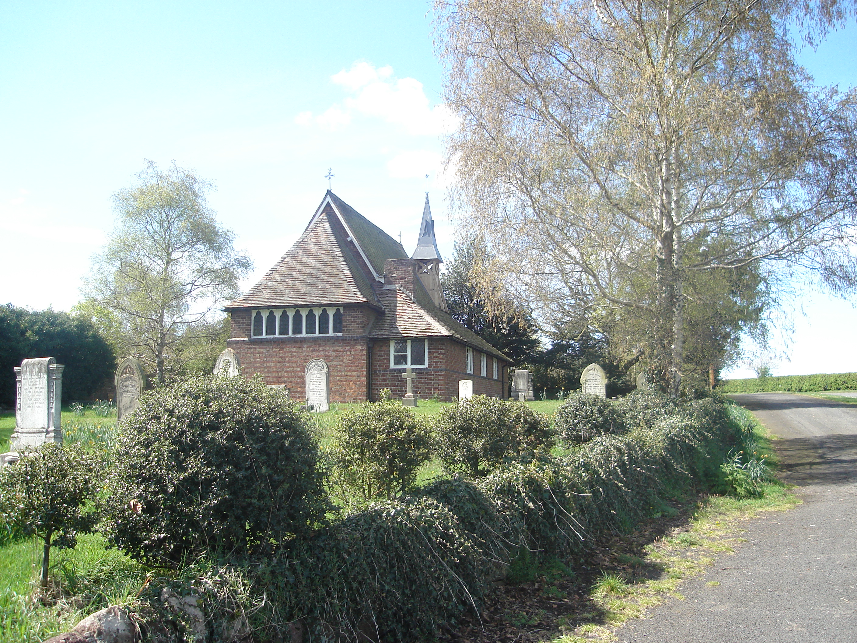
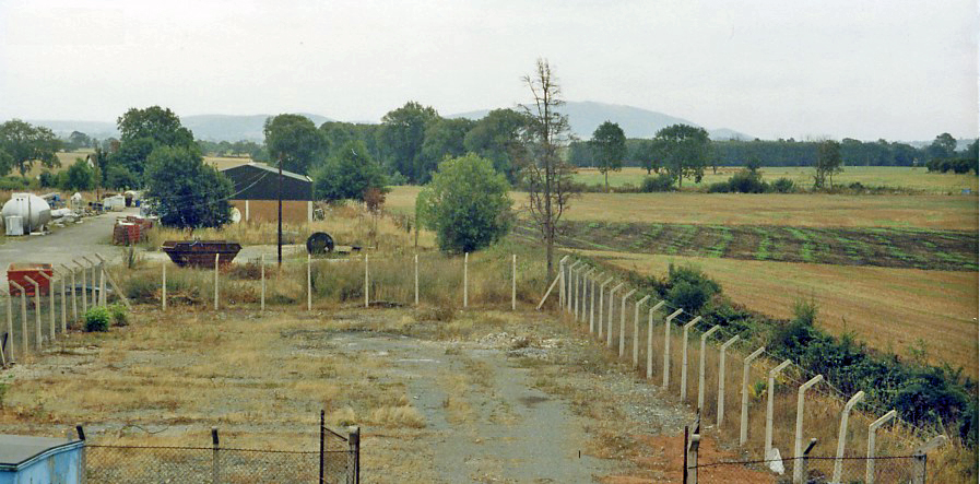
Crudgingtongreen Plantation Images

Images are sourced within 2km of 52.753159/-2.52661 or Grid Reference SJ6417. Thanks to Geograph Open Source API. All images are credited.

Hedgerows and fields Hedgerows and fields off Catsbritch Lane
Hedgerows and fields
Hedgerows and fields off Catsbritch Lane
Crudgington on B5062 Taken from the bus stop
Crudgington on B5062
Taken from the bus stop
Lane from Waters Upton to the B5062
Site of Crudgington station, 1983 View southwards, towards Wellington: ex-GWR Wellington - Market Drayton - Nantwich (- Crewe) line. All gone by 1983, the station and line had been closed from 9/9/63, but the railway was relatively important for through freight and was not closed until 1/5/67.  The view is from the B5062 bridge and the Wrekin (1,335 ft.), a prominent hill in the region, is visible ahead.
Site of Crudgington station, 1983
View southwards, towards Wellington: ex-GWR Wellington - Market Drayton - Nantwich (- Crewe) line. All gone by 1983, the station and line had been closed from 9/9/63, but the railway was relatively important for through freight and was not closed until 1/5/67. The view is from the B5062 bridge and the Wrekin (1,335 ft.), a prominent hill in the region, is visible ahead.
Upstream on the River Strine The same photo as <a title="https://www.geograph.org.uk/photo/999405" href="https://www.geograph.org.uk/photo/999405">Link</a> but it seems the brook has been dredged in the last few years, removing some of the sediment. The Strine drains an area of peaty marshland between Newport and Tibberton, which very likely was once a shallow post-glacial lake, and then flows west to join the Tern at Crudgington.
Upstream on the River Strine
The same photo as Link but it seems the brook has been dredged in the last few years, removing some of the sediment. The Strine drains an area of peaty marshland between Newport and Tibberton, which very likely was once a shallow post-glacial lake, and then flows west to join the Tern at Crudgington.
The Bucks Head, Long Lane
Shrayhill Farm
Shrayhill Farm
A442 looking south into Long Lane
A442 just south of New House Farm
Loading a trailer at New House Farm The tractor backed into the gateway just on the right has a trailer attached, which was being loaded with produce.
Loading a trailer at New House Farm
The tractor backed into the gateway just on the right has a trailer attached, which was being loaded with produce.
Western end of the Duke's Drive This agricultural track makes its way across the Weald Moors, and whilst not technically a right of way, there seems little objection (or signage) to it being walked or cycled to Kynnersley.
Western end of the Duke's Drive
This agricultural track makes its way across the Weald Moors, and whilst not technically a right of way, there seems little objection (or signage) to it being walked or cycled to Kynnersley.
Last remnants of Crudgington creamery This picture brought back some memories for me, since I worked here (my first proper job!) for nearly four years in the mid to late 1990s. I started in the quality control lab, then moved down to the milk processing room where I worked in a crew of three operating milk separators and pasteurisers and all sorts of other machines. 
This shot - taken blind by holding my Pentax K1000 up above my head to point over the fence, since the security guard wouldn't let me on the site - shows the last remnants of the entrance hall (behind the arm of the digger) and the process room and intake bay (behind the second digger in the background). The pile of debris to the left of the shot marks the position of the weighbridge laboratory. In the gap between the building remains were once a number of large silos used for storing raw milk and visible for miles around. It made me quite sad to see the place like this, but I'm glad I visited before it had all disappeared.
Last remnants of Crudgington creamery
This picture brought back some memories for me, since I worked here (my first proper job!) for nearly four years in the mid to late 1990s. I started in the quality control lab, then moved down to the milk processing room where I worked in a crew of three operating milk separators and pasteurisers and all sorts of other machines. This shot - taken blind by holding my Pentax K1000 up above my head to point over the fence, since the security guard wouldn't let me on the site - shows the last remnants of the entrance hall (behind the arm of the digger) and the process room and intake bay (behind the second digger in the background). The pile of debris to the left of the shot marks the position of the weighbridge laboratory. In the gap between the building remains were once a number of large silos used for storing raw milk and visible for miles around. It made me quite sad to see the place like this, but I'm glad I visited before it had all disappeared.
Dairy Crest flag at Crudgington The Dairy Crest flag - probably the very same one which flew when I worked here nearly twenty years ago - still flies from the flagpole which stands in front of where the canteen and offices used to be. It's looking a bit the worse for wear here! Taken with a Pentax K1000 with a red filter on the lens, hence the dark sky.
Dairy Crest flag at Crudgington
The Dairy Crest flag - probably the very same one which flew when I worked here nearly twenty years ago - still flies from the flagpole which stands in front of where the canteen and offices used to be. It's looking a bit the worse for wear here! Taken with a Pentax K1000 with a red filter on the lens, hence the dark sky.
Another view of Crudgington creamery The milk silos - six of them - filled the gap between the remains of the process room in the centre of the shot. In the foreground is the staff car park, and between that and the process room was the intake bay where the milk tankers used to unload, and the weighbridge lab.
Another view of Crudgington creamery
The milk silos - six of them - filled the gap between the remains of the process room in the centre of the shot. In the foreground is the staff car park, and between that and the process room was the intake bay where the milk tankers used to unload, and the weighbridge lab.
Old railway bridge at Crudgington Crudgington once had a railway station, on the Wellington & Drayton Railway which was opened in 1867 and operated under the auspices of the Great Western Railway. Traffic was never heavy, although the line was used for diversionary traffic right up until closure, especially during electrification work on the London - Crewe line. The establishment of a number of RAF bases in the area during WWII gave a boost to traffic levels and a good deal of freight traffic also used the line, but all to no avail as passenger traffic ceased in 1963, followed by freight in 1967. The track was lifted during 1970. The station master's house and this bridge are all that survive at Crudgington, along with some overgrown steps to where the platform once was and some bits of fencing.
Old railway bridge at Crudgington
Crudgington once had a railway station, on the Wellington & Drayton Railway which was opened in 1867 and operated under the auspices of the Great Western Railway. Traffic was never heavy, although the line was used for diversionary traffic right up until closure, especially during electrification work on the London - Crewe line. The establishment of a number of RAF bases in the area during WWII gave a boost to traffic levels and a good deal of freight traffic also used the line, but all to no avail as passenger traffic ceased in 1963, followed by freight in 1967. The track was lifted during 1970. The station master's house and this bridge are all that survive at Crudgington, along with some overgrown steps to where the platform once was and some bits of fencing.
Security hut at Dairy Crest, Crudgington This was the only part of the site still being used for its original purpose when I visited! The last stages of demolition were just being completed, prior to the site being redeveloped as housing. Once upon a time, the Dairy Crest plant was a landmark for miles around: having worked here, and commuted by bicycle from Wolverhampton, 23 miles away, I was more familiar with the view of the place from across the fields than most, and it came as a bit of a shock to drive towards the site and not be able to see it. In the background was once the canteen and office block and the "Special Products" division, where things like brandy butter were made at Christmas time.
Security hut at Dairy Crest, Crudgington
This was the only part of the site still being used for its original purpose when I visited! The last stages of demolition were just being completed, prior to the site being redeveloped as housing. Once upon a time, the Dairy Crest plant was a landmark for miles around: having worked here, and commuted by bicycle from Wolverhampton, 23 miles away, I was more familiar with the view of the place from across the fields than most, and it came as a bit of a shock to drive towards the site and not be able to see it. In the background was once the canteen and office block and the "Special Products" division, where things like brandy butter were made at Christmas time.
The Duke's Drive crosses the moors Wrockwardine Moor on the right and Sidney Moor on the left, both of which are now fully converted to agricultural use since the installation in the 18th century of extensive drainage systems. There are no footpaths or rights of way across the moors, but there seems little objection to walkers and cyclists using the Duke's Drive.
The Duke's Drive crosses the moors
Wrockwardine Moor on the right and Sidney Moor on the left, both of which are now fully converted to agricultural use since the installation in the 18th century of extensive drainage systems. There are no footpaths or rights of way across the moors, but there seems little objection to walkers and cyclists using the Duke's Drive.
Copse on Sidney Moor Across the wheat (or maybe barley) field, looking NE towards a copse of trees on the flat Sidney Moor.
Copse on Sidney Moor
Across the wheat (or maybe barley) field, looking NE towards a copse of trees on the flat Sidney Moor.
Show me another place!

Crudgingtongreen Plantation is located at Grid Ref: SJ6417 (Lat: 52.753159, Lng: -2.52661)

Unitary Authority: Telford and Wrekin

Police Authority: West Mercia

What 3 Words

///bloom.verse.madder. Near Eyton upon the Weald Moors, Shropshire

Related Wikis

Crudgington

Crudgington is a village in the borough of Telford and Wrekin and ceremonial county of Shropshire, England. It is situated in the civil parish of Waters...

River Strine

The River Strine is a 3.4-mile-long (5.4 km) tributary of the River Tern flowing through the Telford and Wrekin district of Shropshire in England. The...

Crudgington railway station

Crudgington railway station was a station in Crudgington, Shropshire, England. The station was opened in 1867 and closed in 1963. == References == ��2...

Waters Upton

Waters Upton is a small village and civil parish in the Telford and Wrekin district, in the county of Shropshire, England. The population of the civil...

Have you been to Crudgingtongreen Plantation?

Leave your review of Crudgingtongreen Plantation below (or comments, questions and feedback).