Hodder Hole Wood
Wood, Forest in Lancashire Ribble Valley
England
Hodder Hole Wood

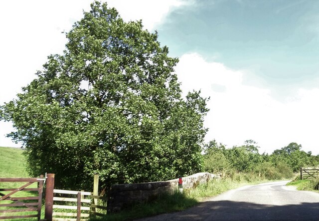
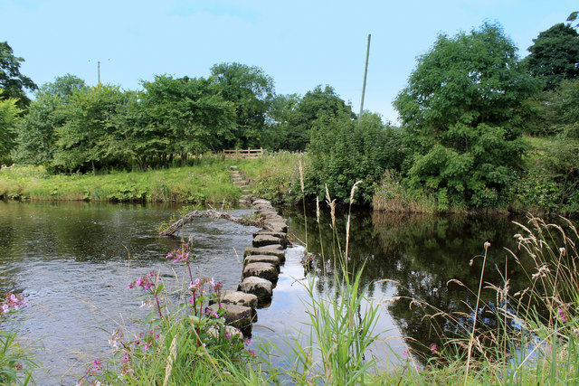
Hodder Hole Wood is a picturesque woodland located in the county of Lancashire, England. Covering an area of approximately 30 acres, this beautiful forest is nestled in the heart of the stunning Ribble Valley, near the village of Dunsop Bridge.
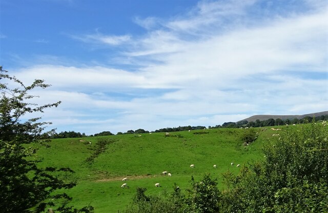
The wood is predominantly composed of native broadleaf species, including oak, birch, and beech trees. These towering trees create a dense canopy that provides shelter and habitat for a variety of wildlife. The forest floor is adorned with a rich carpet of bluebells during the spring months, creating a vibrant and enchanting atmosphere.
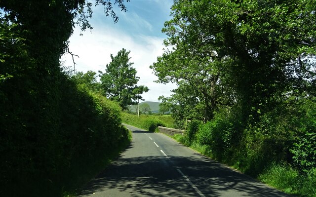
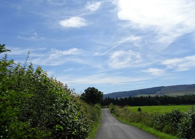
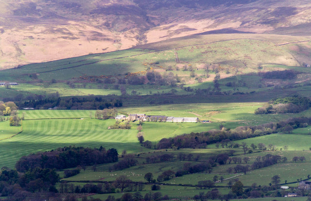
Hodder Hole Wood is a popular destination for nature enthusiasts and hikers alike. The forest boasts a network of well-maintained walking trails, allowing visitors to explore its natural wonders at their own pace. These trails offer breathtaking views of the surrounding countryside, with the Hodder River flowing gently nearby.
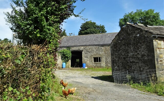
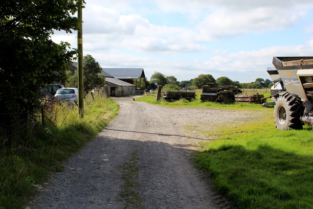
The wood has a rich history and is believed to have been in existence for centuries. It has served as a source of timber and fuel for local communities throughout the years. Today, it stands as a protected area, managed by the Lancashire Wildlife Trust, ensuring its preservation for future generations to enjoy.
Visitors to Hodder Hole Wood can experience a true sense of tranquility and escape from the hustle and bustle of everyday life. The peaceful ambiance, coupled with the diverse flora and fauna, makes it a perfect destination for nature lovers seeking solace in Lancashire's natural beauty.
If you have any feedback on the listing, please let us know in the comments section below.
Hodder Hole Wood Images
Images are sourced within 2km of 53.887578/-2.5433419 or Grid Reference SD6443. Thanks to Geograph Open Source API. All images are credited.


Hodder Hole Wood is located at Grid Ref: SD6443 (Lat: 53.887578, Lng: -2.5433419)
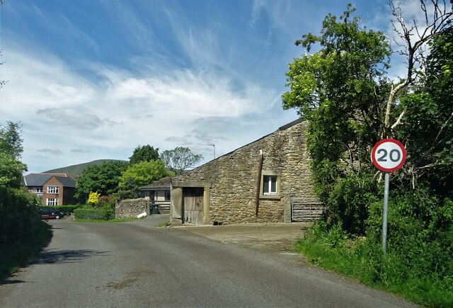
Administrative County: Lancashire
District: Ribble Valley
Police Authority: Lancashire
What 3 Words
///penny.defrost.meal. Near Longridge, Lancashire
Nearby Locations
Related Wikis

River Loud
The River Loud is a river of Lancashire, England. Starting out on Parlick, the Loud meanders mainly through the parish of Chipping, tracing its course...

Lower Lees Farmhouse
Lower Lees Farmhouse is a historic building in the English parish of Bowland Forest Low, Lancashire. It is Grade II listed, built in 1678, and is a sandstone...

Bowland-with-Leagram
Bowland-with-Leagram is a civil parish in the Ribble Valley district of Lancashire, England, covering part of the Forest of Bowland. According to the census...

Chipping, Lancashire
Chipping is a village and civil parish in the borough of Ribble Valley, Lancashire, England, within the Forest of Bowland Area of Outstanding Natural Beauty...
St Bartholomew's Church, Chipping
St Bartholomew's Church is in the village of Chipping, Lancashire, England. It is an active Anglican parish church in the deanery of Whalley, the archdeaconry...

Kirk Mill
Kirk Mill is an early example of an Arkwright-type cotton mill and a grade II listed building in Chipping, Lancashire, in Ribble Valley, to the north of...

Higher Lees Farmhouse
Higher Lees Farmhouse is an historic building in the English parish of Bowland Forest Low, Lancashire. It is Grade II listed, built around 1780, and is...

Longridge Fell
Longridge Fell is the most southerly fell in England, near the town of Longridge, Lancashire. It lies at the southern end of the Forest of Bowland Area...
Related Videos
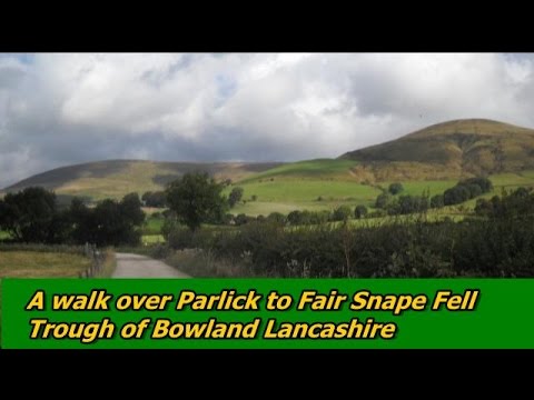
Parlick & Fair Snape Fell | Trough of Bowland | A Lancashire Walk
The Forest of Bowland offers some excellent walking in Lancashire and is designated an Area of Outstanding Natural Beauty.
Satisfying Sounds Of The Rain While Walking 🚶♀️
Very satisfying sounds of the rain while walking. Very relaxing and soothing.

Longridge Fell. Enchanted dark forest. Blueberry / bilberry picking.
Longridge Fell, Lancashire, England 28 July 2022, Thursday.

Fair Snape Fell and Parlick, A quiet hike in the Forest Of Bowland.
Hello fellow YouTubers this video is the latest hiking adventure in the Forest Of Bowland! One of my favourite walks because of ...
Nearby Amenities
Located within 500m of 53.887578,-2.5433419Have you been to Hodder Hole Wood?
Leave your review of Hodder Hole Wood below (or comments, questions and feedback).