Hom Wood
Wood, Forest in Herefordshire Forest of Dean
England
Hom Wood
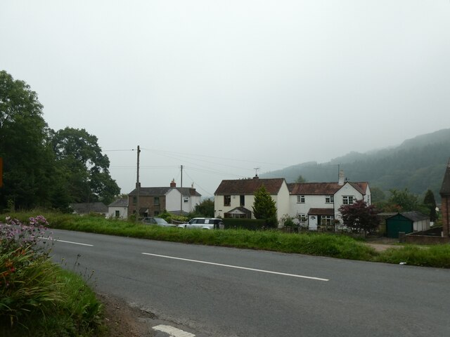
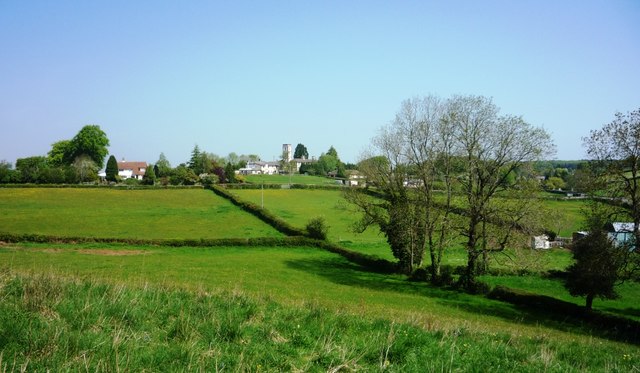
Hom Wood is a picturesque forest located in the county of Herefordshire, England. Covering an area of approximately 200 hectares, it is a haven for nature enthusiasts and outdoor lovers alike. The woodland is situated on the western edge of the county, near the village of Hom Green.
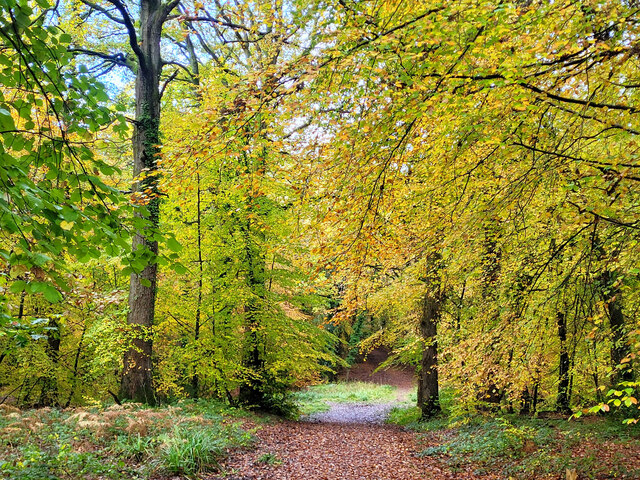
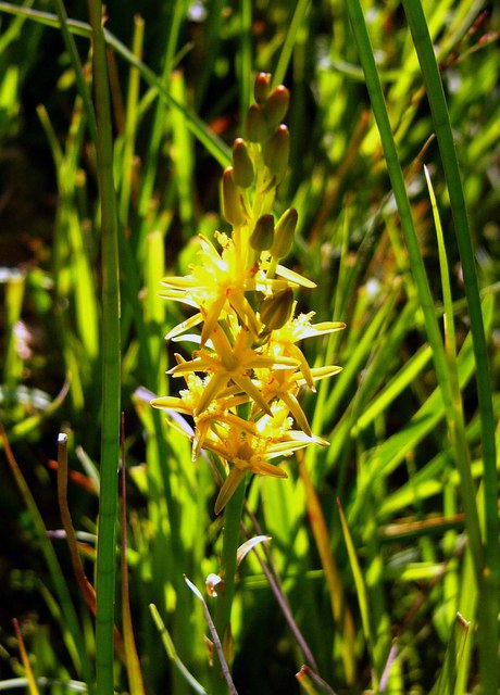
The forest is predominantly composed of broadleaf trees such as oak, beech, and ash, creating a rich and diverse ecosystem. These trees provide a dense canopy that filters sunlight, resulting in a cool and shaded environment. The forest floor is covered in a thick carpet of moss, ferns, and wildflowers, adding to its natural beauty.
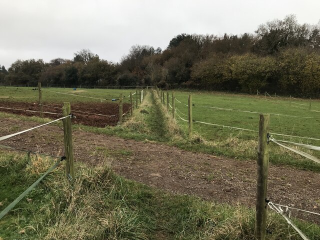
Hom Wood offers a variety of walking trails, ranging from easy strolls to more challenging hikes, making it suitable for all levels of fitness. The paths wind through the forest, allowing visitors to immerse themselves in the tranquil surroundings and enjoy the sights and sounds of nature. Along the way, one may come across a range of wildlife including deer, squirrels, and a variety of bird species.
The wood is also popular with birdwatchers and photographers, as it provides a peaceful setting to observe and capture the diverse birdlife and stunning landscapes. Additionally, Hom Wood is a designated Site of Special Scientific Interest (SSSI), highlighting its importance for biodiversity conservation.
Overall, Hom Wood is a hidden gem in Herefordshire, offering a peaceful retreat from the hustle and bustle of everyday life. Its natural beauty, diverse flora and fauna, and well-maintained trails make it an ideal destination for outdoor enthusiasts and nature lovers to explore and appreciate the wonders of the woodland environment.
If you have any feedback on the listing, please let us know in the comments section below.
Hom Wood Images
Images are sourced within 2km of 51.865675/-2.5216819 or Grid Reference SO6418. Thanks to Geograph Open Source API. All images are credited.


Hom Wood is located at Grid Ref: SO6418 (Lat: 51.865675, Lng: -2.5216819)
Administrative County: Gloucestershire
District: Forest of Dean
Police Authority: Gloucestershire
What 3 Words
///redefined.breakaway.contact. Near Drybrook, Gloucestershire
Nearby Locations
Related Wikis

Puddlebrook Quarry
Puddlebrook Quarry (grid reference SO646183) is a 0.7-hectare (1.7-acre) geological Site of Special Scientific Interest in Gloucestershire, near Drybrook...
Mitcheldean Meend Marsh
Mitcheldean Meend Marsh (grid reference SO647180) is a 0.7-hectare (1.7-acre) nature reserve in Gloucestershire in the Forest of Dean. The site is listed...
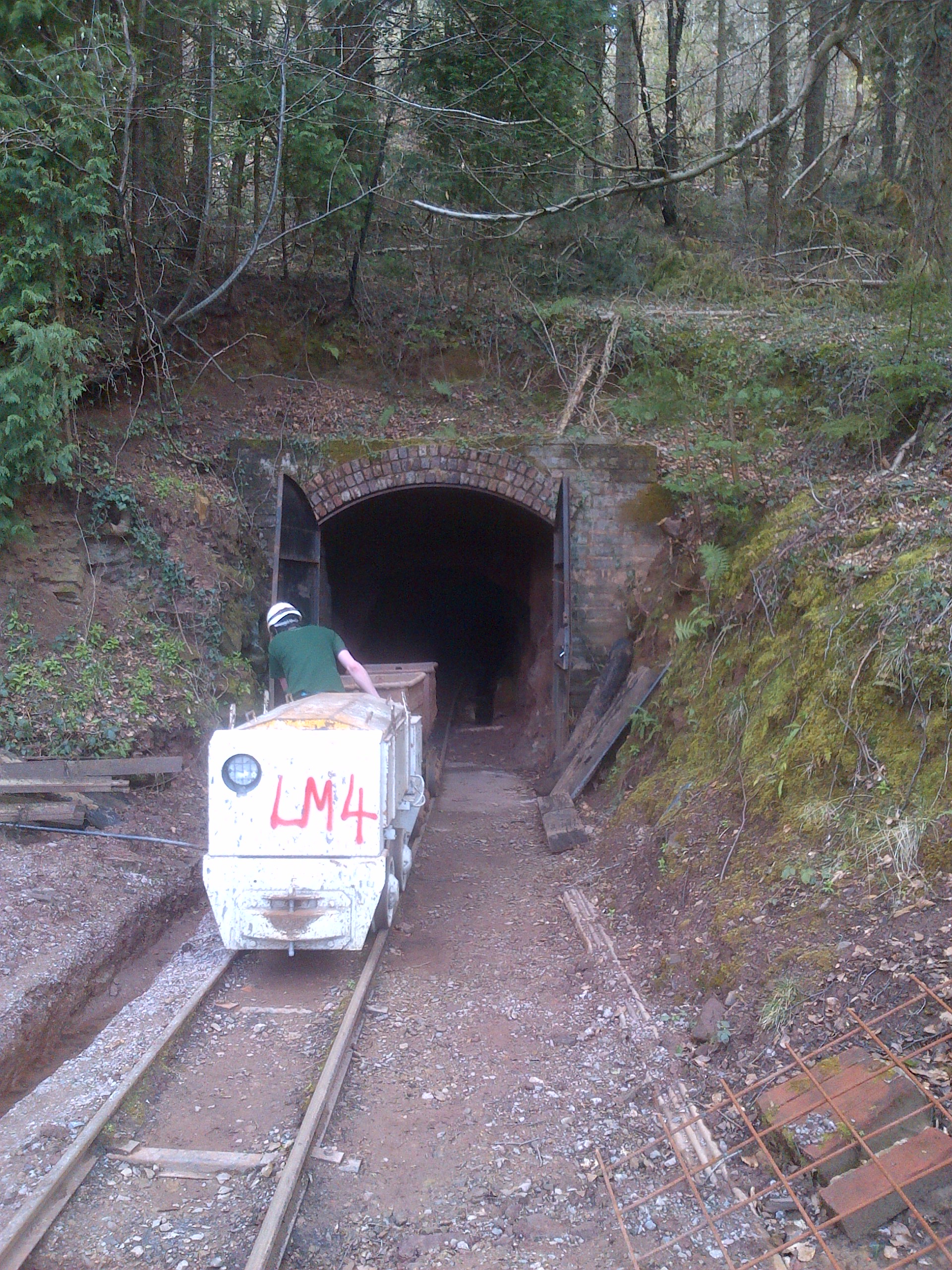
Lea Bailey Light Railway
The Lea Bailey Light Railway is a 2 ft (610 mm) narrow-gauge heritage railway in the United Kingdom. It is built on the site of the Bailey Level Gold Mine...
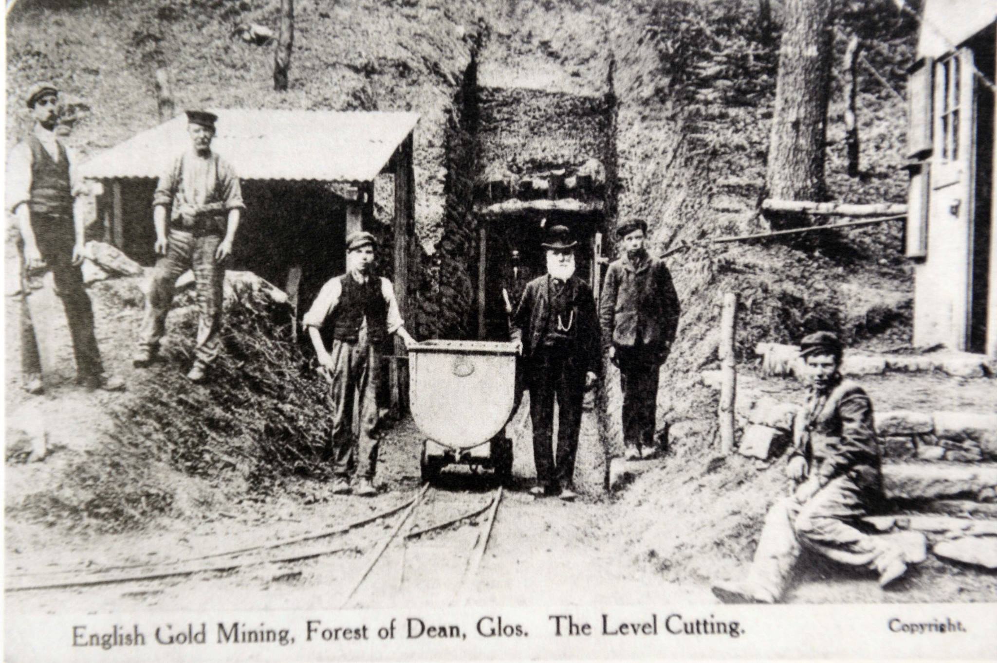
Bailey Level Gold Mine
Bailey Level is a former gold mine and iron mine in the Forest of Dean, England. The mine and surface features are currently managed by volunteer members...
Nearby Amenities
Located within 500m of 51.865675,-2.5216819Have you been to Hom Wood?
Leave your review of Hom Wood below (or comments, questions and feedback).