Harechurch Wood

Wood, Forest in Herefordshire

England

Harechurch Wood

Old Bridge Marker on Hawthorns Road, Hope Mansell Bridge Marker in the northeast parapet of a bridge on Hawthorns Road over the disused Mitcheldean Road and Forest of Dean Junction Railway. Hope Mansell parish. Inscribed G.W.R. possibly above S D C. The bridge is on a railway line built c.1874 by different contractors for the Mitcheldean Road and Forest of Dean Junction Railway Company. This company was absorbed by the GWR in 1880, who completed the line soon after. The stone is thought to mark the Great Western Railway's ownership of, or responsibility for, the bridge. The vertical groove next to the stone is unexplained but might show where a bridge weight plate, e.g. <a title="https://www.geograph.org.uk/photo/6463518," href="https://www.geograph.org.uk/photo/6463518,">Link</a> was fixed to the parapet.

Milestone Society National ID: HF_HOPEMA01br
Old Bridge Marker on Hawthorns Road, Hope Mansell Credit: Roadside Relics

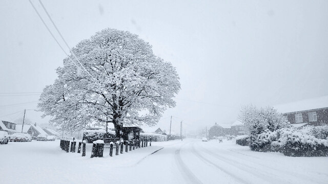
Harechurch Wood is a picturesque forest located in the county of Herefordshire, England. Covering an area of approximately 100 acres, this woodland is renowned for its natural beauty and tranquil ambiance. The forest is situated near the village of Harewood End, nestled amidst rolling green hills and scenic countryside.

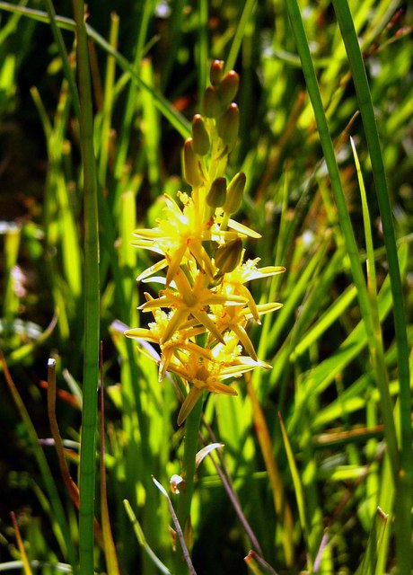
Harechurch Wood is primarily composed of broadleaf trees, including oak, beech, and ash, which create a dense canopy overhead, providing shade and shelter to a wide variety of plant and animal species. The forest floor is covered with a rich carpet of wildflowers, ferns, and mosses, making it a haven for botany enthusiasts.

The wood boasts several walking trails and footpaths that meander through its enchanting landscape. These paths allow visitors to explore the forest at their leisure, immersing themselves in its natural wonders. Along the way, one may encounter ancient trees, babbling brooks, and small clearings, perfect for quiet contemplation or a picnic.

Harechurch Wood is also home to a diverse array of wildlife. Birdwatchers can spot a plethora of species, including woodpeckers, nuthatches, and thrushes. Deer, badgers, and foxes can be glimpsed among the trees, while the occasional bat can be seen flitting through the air at dusk.

Overall, Harechurch Wood offers a serene and idyllic setting for nature lovers and those seeking a peaceful escape from the hustle and bustle of everyday life. Its natural beauty and abundant wildlife make it a must-visit destination for anyone exploring Herefordshire.

If you have any feedback on the listing, please let us know in the comments section below.

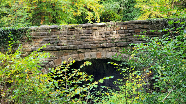
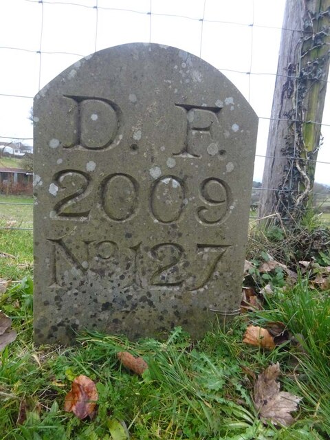
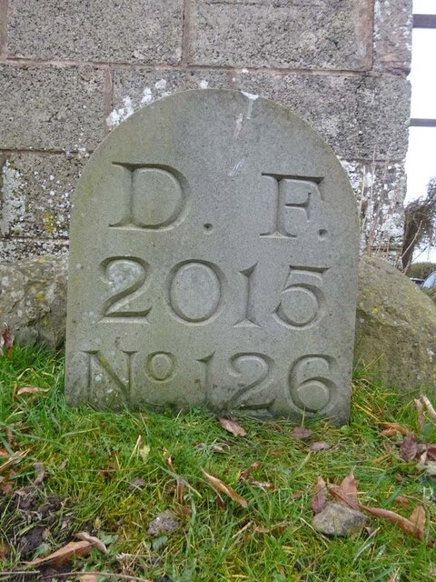
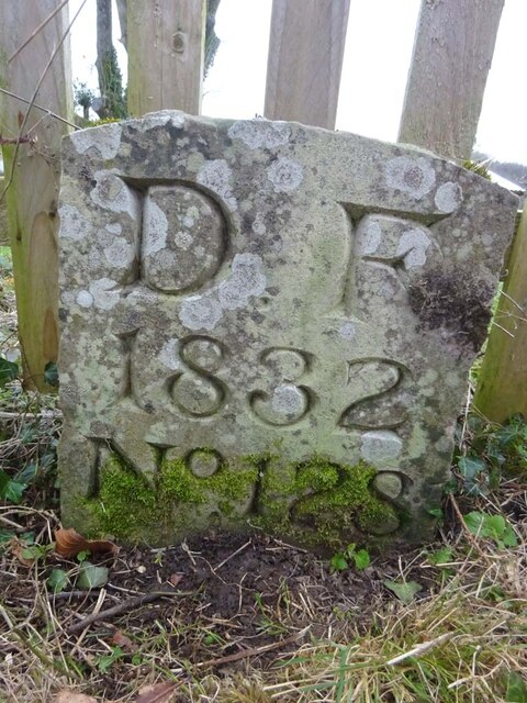
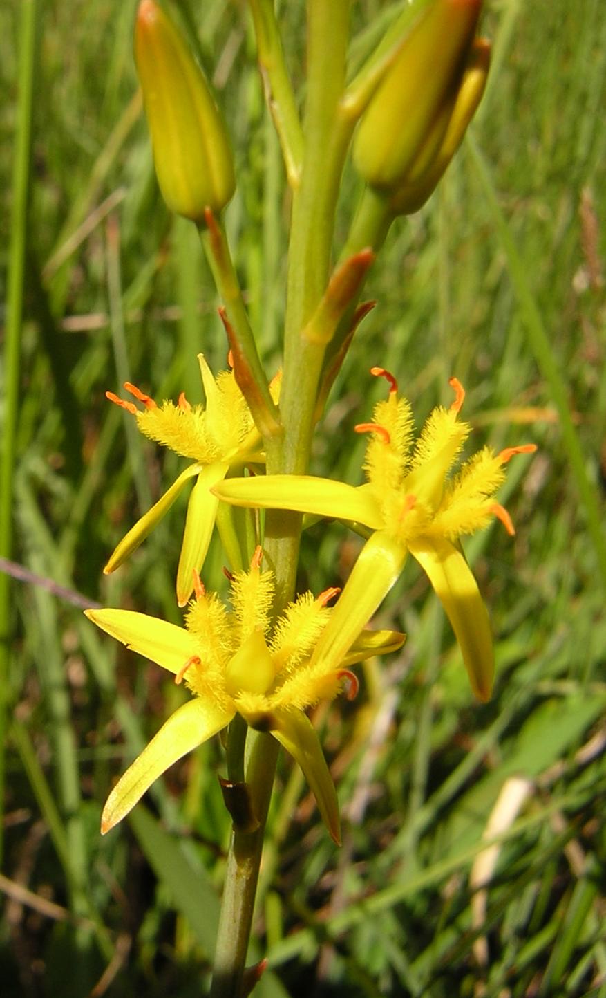
Harechurch Wood Images

Images are sourced within 2km of 51.86424/-2.5249473 or Grid Reference SO6318. Thanks to Geograph Open Source API. All images are credited.

Old Bridge Marker on Hawthorns Road, Hope Mansell Bridge Marker in the northeast parapet of a bridge on Hawthorns Road over the disused Mitcheldean Road and Forest of Dean Junction Railway. Hope Mansell parish. Inscribed G.W.R. possibly above S D C. The bridge is on a railway line built c.1874 by different contractors for the Mitcheldean Road and Forest of Dean Junction Railway Company. This company was absorbed by the GWR in 1880, who completed the line soon after. The stone is thought to mark the Great Western Railway's ownership of, or responsibility for, the bridge. The vertical groove next to the stone is unexplained but might show where a bridge weight plate, e.g. <a title="https://www.geograph.org.uk/photo/6463518," href="https://www.geograph.org.uk/photo/6463518,">Link</a> was fixed to the parapet.

Milestone Society National ID: HF_HOPEMA01br
Old Bridge Marker on Hawthorns Road, Hope Mansell
Bridge Marker in the northeast parapet of a bridge on Hawthorns Road over the disused Mitcheldean Road and Forest of Dean Junction Railway. Hope Mansell parish. Inscribed G.W.R. possibly above S D C. The bridge is on a railway line built c.1874 by different contractors for the Mitcheldean Road and Forest of Dean Junction Railway Company. This company was absorbed by the GWR in 1880, who completed the line soon after. The stone is thought to mark the Great Western Railway's ownership of, or responsibility for, the bridge. The vertical groove next to the stone is unexplained but might show where a bridge weight plate, e.g. Link was fixed to the parapet. Milestone Society National ID: HF_HOPEMA01br
Old Boundary Stone, Mitcheldean One of the many boundary stone delineating the periphery of the "Forest of Dean". The "Forest" is very specific because resident have "rights in common" like grazing sheep and coal mining, though you may have to be born there to classify as a "free miner". This is on the Northern verge of "The Stenders". Mitcheldean is to the East, while East Dean parish is to the West. The boundary runs along the road from the next <a href="https://www.geograph.org.uk/photo/7295087">SO6518 : Modern Boundary Stone, Mitcheldean</a> and turns North here.

Inscription: D.F / 1832 / N. 180

Milestone Society National ID: GL_DFMITC180em
Old Boundary Stone, Mitcheldean
One of the many boundary stone delineating the periphery of the "Forest of Dean". The "Forest" is very specific because resident have "rights in common" like grazing sheep and coal mining, though you may have to be born there to classify as a "free miner". This is on the Northern verge of "The Stenders". Mitcheldean is to the East, while East Dean parish is to the West. The boundary runs along the road from the next SO6518 : Modern Boundary Stone, Mitcheldean and turns North here. Inscription: D.F / 1832 / N. 180 Milestone Society National ID: GL_DFMITC180em
Modern Boundary Stone, Mitcheldean One of the many replacement boundary stone delineating the periphery of the "Forest of Dean". The "Forest" is very specific because resident have "rights in common" like grazing sheep and coal mining, though you may have to be born there to classify as a "free miner". This is on the Southern verge of "The Stenders". Mitcheldean is to the East, while East Dean parish is to the West. The boundary runs along the road from the next <a href="https://www.geograph.org.uk/photo/7295071">SO6518 : Old Boundary Stone, Mitcheldean</a> and turns South here.

Inscription: D. F. / 2011 / Nᴼ. 181

Milestone Society National ID: GL_DFMITC181em
Modern Boundary Stone, Mitcheldean
One of the many replacement boundary stone delineating the periphery of the "Forest of Dean". The "Forest" is very specific because resident have "rights in common" like grazing sheep and coal mining, though you may have to be born there to classify as a "free miner". This is on the Southern verge of "The Stenders". Mitcheldean is to the East, while East Dean parish is to the West. The boundary runs along the road from the next SO6518 : Old Boundary Stone, Mitcheldean and turns South here. Inscription: D. F. / 2011 / Nᴼ. 181 Milestone Society National ID: GL_DFMITC181em
Stone Stile, Ruardean On Gloucestershire footpath DRD6, North of the church. the remains of a "Fallen Idle".
Stone Stile, Ruardean
On Gloucestershire footpath DRD6, North of the church. the remains of a "Fallen Idle".
Toll House, Ruardean Former Toll House, "Pike Cottage" on the North side of High Street. Used by the Forest of Dean Turnpike Trust up until the 19ᵗʰ C. Parts of Ruardean are in the "Forest" but the High Street is not.

Milestone Society National ID: GL.RUA
Toll House, Ruardean
Former Toll House, "Pike Cottage" on the North side of High Street. Used by the Forest of Dean Turnpike Trust up until the 19ᵗʰ C. Parts of Ruardean are in the "Forest" but the High Street is not. Milestone Society National ID: GL.RUA
Old railway bridge The road to Drybrook crosses the Severn and Wye railway which closed to passenger service in 1929.
Old railway bridge
The road to Drybrook crosses the Severn and Wye railway which closed to passenger service in 1929.
Ruardean Oak and war memorial Early on a morning of December snow.
The grey marks on the sky are snowflakes.
Ruardean Oak and war memorial
Early on a morning of December snow. The grey marks on the sky are snowflakes.
Boundary Stone, Ruardean Woodside Royal Forest of Dean boundary stone on the West side of Walker's Lane opposite the farmyard entrance. It also marks the boundary between Ruardean and East Dean, Gloucestershire.

Inscription: D. F. / 2009 / Nᴼ. 127

Milestone Society National ID: GL_DFDRRU127em
Boundary Stone, Ruardean Woodside
Royal Forest of Dean boundary stone on the West side of Walker's Lane opposite the farmyard entrance. It also marks the boundary between Ruardean and East Dean, Gloucestershire. Inscription: D. F. / 2009 / Nᴼ. 127 Milestone Society National ID: GL_DFDRRU127em
Boundary Stone, Ruardean Woodside Forest of Dean boundary stone on the West side of Walker's Lane and adjacent to Gloucestershire footpath DRD45.

Inscription: D. F. / 2015 / Nᴼ. 126

Milestone Society National ID: GL_DFDRRU126em
Boundary Stone, Ruardean Woodside
Forest of Dean boundary stone on the West side of Walker's Lane and adjacent to Gloucestershire footpath DRD45. Inscription: D. F. / 2015 / Nᴼ. 126 Milestone Society National ID: GL_DFDRRU126em
Boundary Stone, Ruardean Hill Forest of Dean boundary stone at the corner of Spout Lane and a stile on Gloucestershire footpath DRD41.

Inscription: D. F. / 1832 / Nᴼ. 128

Milestone Society National ID: GL_DFDRRU128em
Boundary Stone, Ruardean Hill
Forest of Dean boundary stone at the corner of Spout Lane and a stile on Gloucestershire footpath DRD41. Inscription: D. F. / 1832 / Nᴼ. 128 Milestone Society National ID: GL_DFDRRU128em
Boundary Stone, Ruardean Walk Forest of Dean boundary marker in the garden of "Morse View" on the North side of Spout Lane.

Inscription: D. F. / 1832 / Nᴼ. 129

Milestone Society National ID: GL_DFDRRU129em
Boundary Stone, Ruardean Walk
Forest of Dean boundary marker in the garden of "Morse View" on the North side of Spout Lane. Inscription: D. F. / 1832 / Nᴼ. 129 Milestone Society National ID: GL_DFDRRU129em
Boundary Stone & horse trough, Swish Lane Modern horse trough (2003) and Forest of Dean boundary stone set in a feature garden with hanging evergreen plants. And aphorisms. In the Ruardean Hill/Ruardean Walk area.

Inscription: D. F. / 1832 / Nᴼ. 130 / ―

Milestone Society National ID: GL_DFDRRU130em
Boundary Stone & horse trough, Swish Lane
Modern horse trough (2003) and Forest of Dean boundary stone set in a feature garden with hanging evergreen plants. And aphorisms. In the Ruardean Hill/Ruardean Walk area. Inscription: D. F. / 1832 / Nᴼ. 130 / ― Milestone Society National ID: GL_DFDRRU130em
Boundary Stone, Ruardean Hill Forest of Dean boundary stone at the apex of the junction between Batts Lane and Morse Road. Despit the date on the inscription, this is from a more recent century, probably the 20ᵗʰ. 

Inscription: D. F. / 1832 / Nᴼ. 131 / ―

Milestone Society National ID: GL_DFDRYB131em
Boundary Stone, Ruardean Hill
Forest of Dean boundary stone at the apex of the junction between Batts Lane and Morse Road. Despit the date on the inscription, this is from a more recent century, probably the 20ᵗʰ. Inscription: D. F. / 1832 / Nᴼ. 131 / ― Milestone Society National ID: GL_DFDRYB131em
Boundary Stone, field, Morse Road Forest of Dean boundary stone in a field in the area described on old maps as The Morse. Looking from Morse Road the stone is maybe 100 yds from the road, ie private land.

Inscription (assumed): D. F. / 1832 / Nᴼ. 133 

Milestone Society National ID: GL_DFDRRU133em
Boundary Stone, field, Morse Road
Forest of Dean boundary stone in a field in the area described on old maps as The Morse. Looking from Morse Road the stone is maybe 100 yds from the road, ie private land. Inscription (assumed): D. F. / 1832 / Nᴼ. 133 Milestone Society National ID: GL_DFDRRU133em
Boundary Stone, Morse Lane, Drybrook Modern Forest of Dean boundary stone against a roadside wall. A survey before installing replacement stones described the stone as "in the wall". The look of it, there seems to be a similar stone behind, "in the wall".

Inscription: D. F. / 2016 / Nᴼ. 137

Milestone Society National ID: GL_DFDRYB137em
Boundary Stone, Morse Lane, Drybrook
Modern Forest of Dean boundary stone against a roadside wall. A survey before installing replacement stones described the stone as "in the wall". The look of it, there seems to be a similar stone behind, "in the wall". Inscription: D. F. / 2016 / Nᴼ. 137 Milestone Society National ID: GL_DFDRYB137em
Boundary Stone, Drybrook Modern Forest of Dean boundary stone on Gloucestershire footpath DDB5, just off Hawthorns Road, opposite "Stonecroft".

Inscription: D. F. / 2010 / Nᴼ. 144

Milestone Society National ID: GL_DFDRYB144em
Boundary Stone, Drybrook
Modern Forest of Dean boundary stone on Gloucestershire footpath DDB5, just off Hawthorns Road, opposite "Stonecroft". Inscription: D. F. / 2010 / Nᴼ. 144 Milestone Society National ID: GL_DFDRYB144em
Boundary Stone, Hawthorn Road, Drybrook Old Forest of Dean boundary stone, on the property of the former Crown Inn.

Inscription: D. F. / 1832 / Nᴼ. 145

Milestone Society National ID: GL_DFDRYB145em
Boundary Stone, Hawthorn Road, Drybrook
Old Forest of Dean boundary stone, on the property of the former Crown Inn. Inscription: D. F. / 1832 / Nᴼ. 145 Milestone Society National ID: GL_DFDRYB145em
Terrace houses in Ruardean Terrace houses in Ruardean viewed from the track beside the church.  This is a recreation of the first picture uploaded in this grid square, little changed in the twenty years since it was taken <a href="https://www.geograph.org.uk/photo/88539">SO6217 : Cottages, Ruardean</a>.
Terrace houses in Ruardean
Terrace houses in Ruardean viewed from the track beside the church. This is a recreation of the first picture uploaded in this grid square, little changed in the twenty years since it was taken SO6217 : Cottages, Ruardean.
Show me another place!

Harechurch Wood is located at Grid Ref: SO6318 (Lat: 51.86424, Lng: -2.5249473)

Unitary Authority: County of Herefordshire

Police Authority: West Mercia

What 3 Words

///slimy.intricate.minute. Near Drybrook, Gloucestershire

Related Wikis

Nearby Amenities

Located within 500m of 51.86424,-2.5249473
Puddlebrook
Is In: Gloucestershire, England, UK
Place: village
Lat/Long: 51.8640932/-2.5177082
Bus Stop
Hawthorns Cross
Naptan AtcoCode: 1600GL2421
Naptan Bearing: N
Naptan CommonName: Hawthorns Cross
Naptan NaptanCode: gloajdgd
Naptan Street: Hawthorns Rd
Naptan Verified: no
Source: naptan_import
Lat/Long: 51.863428/-2.5183046
Bus Stop
Hawthorns Cross
Naptan AtcoCode: 1600GL2422
Naptan Bearing: S
Naptan CommonName: Hawthorns Cross
Naptan NaptanCode: gloajdgj
Naptan Street: Hawthorns Rd
Naptan Verified: no
Source: naptan_import
Lat/Long: 51.8633474/-2.5182165
Generator Method: photovoltaic
Generator Output Electricity: yes
Generator Source: solar
Generator Type: solar_photovoltaic_panel
Location: roof
Power: generator
Lat/Long: 51.8622266/-2.5274925
Post Box
Operator: Royal Mail
Post Box Type: wall
Ref: GL17 9D
Royal Cypher: EIIR
Royal Cypher Wikidata: Q33102113
Lat/Long: 51.8639674/-2.5181913
The data included in this document is from www.openstreetmap.org. The data is made available under ODbL.

Have you been to Harechurch Wood?

Leave your review of Harechurch Wood below (or comments, questions and feedback).