Upper Perlieu Wood

Wood, Forest in Herefordshire

England

Upper Perlieu Wood

Old Bridge Marker on Hawthorns Road, Hope Mansell Bridge Marker in the northeast parapet of a bridge on Hawthorns Road over the disused Mitcheldean Road and Forest of Dean Junction Railway. Hope Mansell parish. Inscribed G.W.R. possibly above S D C. The bridge is on a railway line built c.1874 by different contractors for the Mitcheldean Road and Forest of Dean Junction Railway Company. This company was absorbed by the GWR in 1880, who completed the line soon after. The stone is thought to mark the Great Western Railway's ownership of, or responsibility for, the bridge. The vertical groove next to the stone is unexplained but might show where a bridge weight plate, e.g. <a title="https://www.geograph.org.uk/photo/6463518," href="https://www.geograph.org.uk/photo/6463518,">Link</a> was fixed to the parapet.

Milestone Society National ID: HF_HOPEMA01br
Old Bridge Marker on Hawthorns Road, Hope Mansell Credit: Roadside Relics

Upper Perlieu Wood is a charming woodland area located in the county of Herefordshire, England. It is situated in the picturesque countryside, surrounded by rolling hills and meandering streams. Stretching across an area of approximately 200 acres, this woodland is a haven for nature enthusiasts and offers a tranquil retreat from the bustling city life.

The wood is predominantly made up of a diverse range of deciduous trees, including oak, beech, and ash, which create a lush and vibrant canopy. These trees provide a habitat for a variety of wildlife, such as deer, badgers, and a wide array of bird species. The wood is also home to a rich assortment of flora, including bluebells, wild garlic, and ferns, which carpet the forest floor during the spring and summer months.

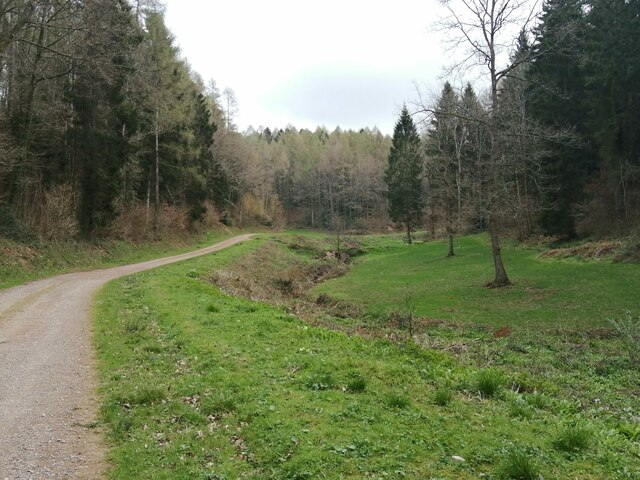
Upper Perlieu Wood offers several walking trails, providing visitors with the opportunity to explore its natural beauty. These trails wind through the woodland, offering breathtaking views and a chance to observe the local wildlife in their natural habitat. The peaceful atmosphere and serenity of the wood make it an ideal spot for birdwatching, photography, or simply unwinding amidst nature's tranquility.

The wood is managed by the local authorities, ensuring the preservation and conservation of its natural resources. Access to the wood is unrestricted, and there are no admission fees, making it accessible to all who wish to experience its beauty. Upper Perlieu Wood is a hidden gem in Herefordshire, offering a delightful escape to nature for locals and tourists alike.

If you have any feedback on the listing, please let us know in the comments section below.

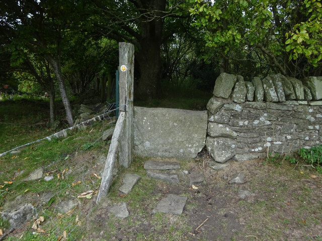
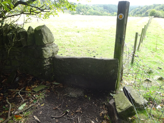
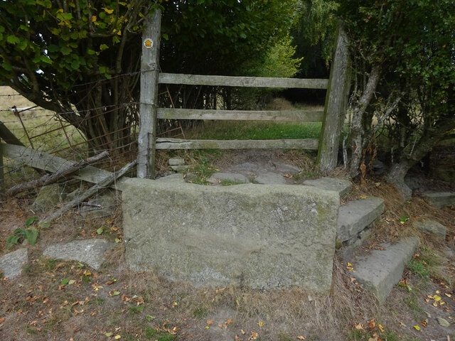
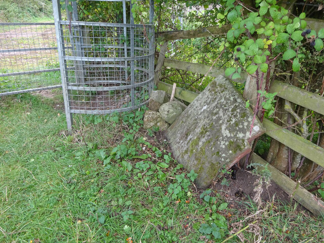
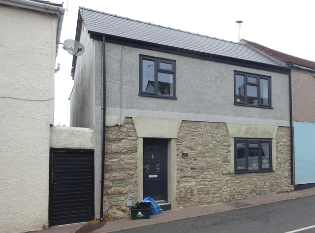
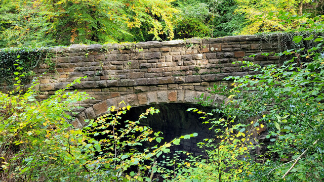
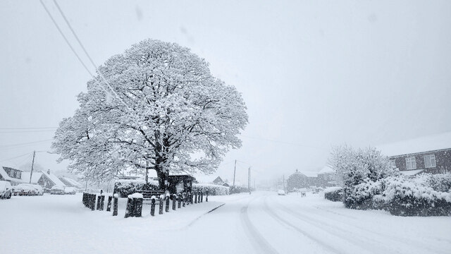
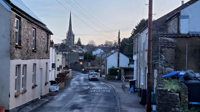
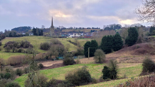
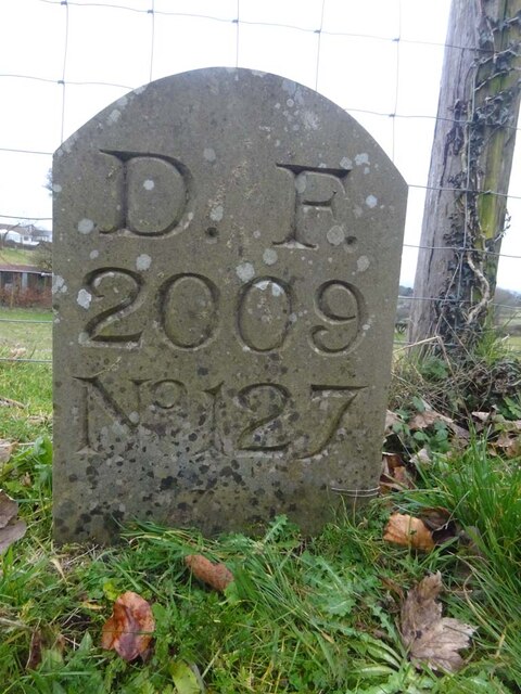
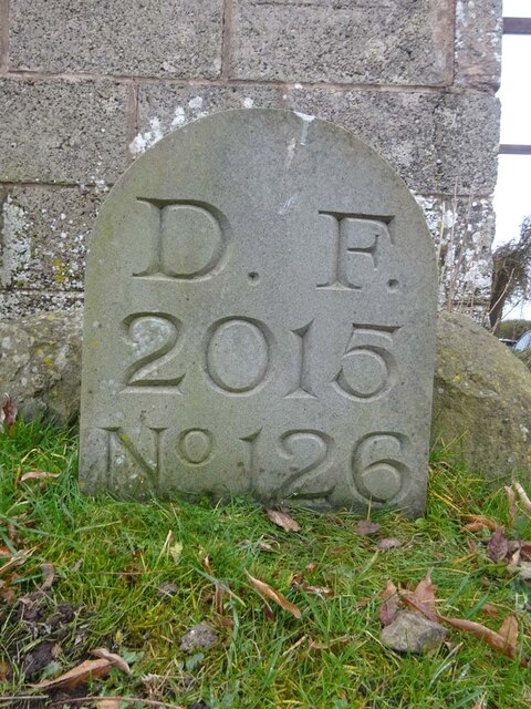
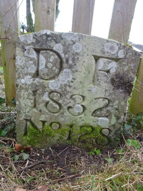
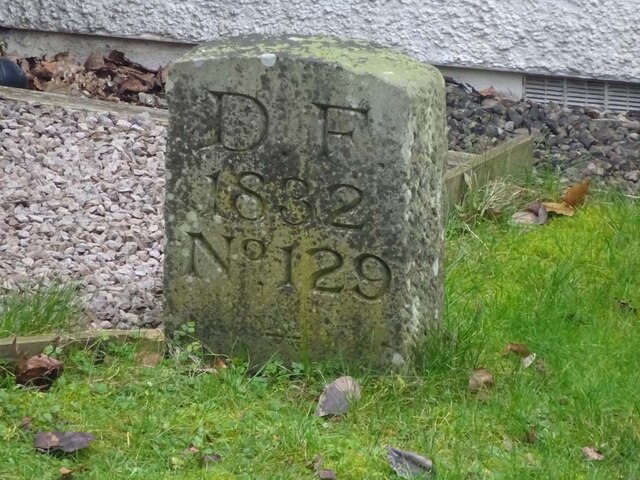
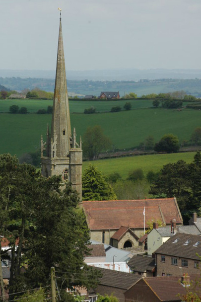
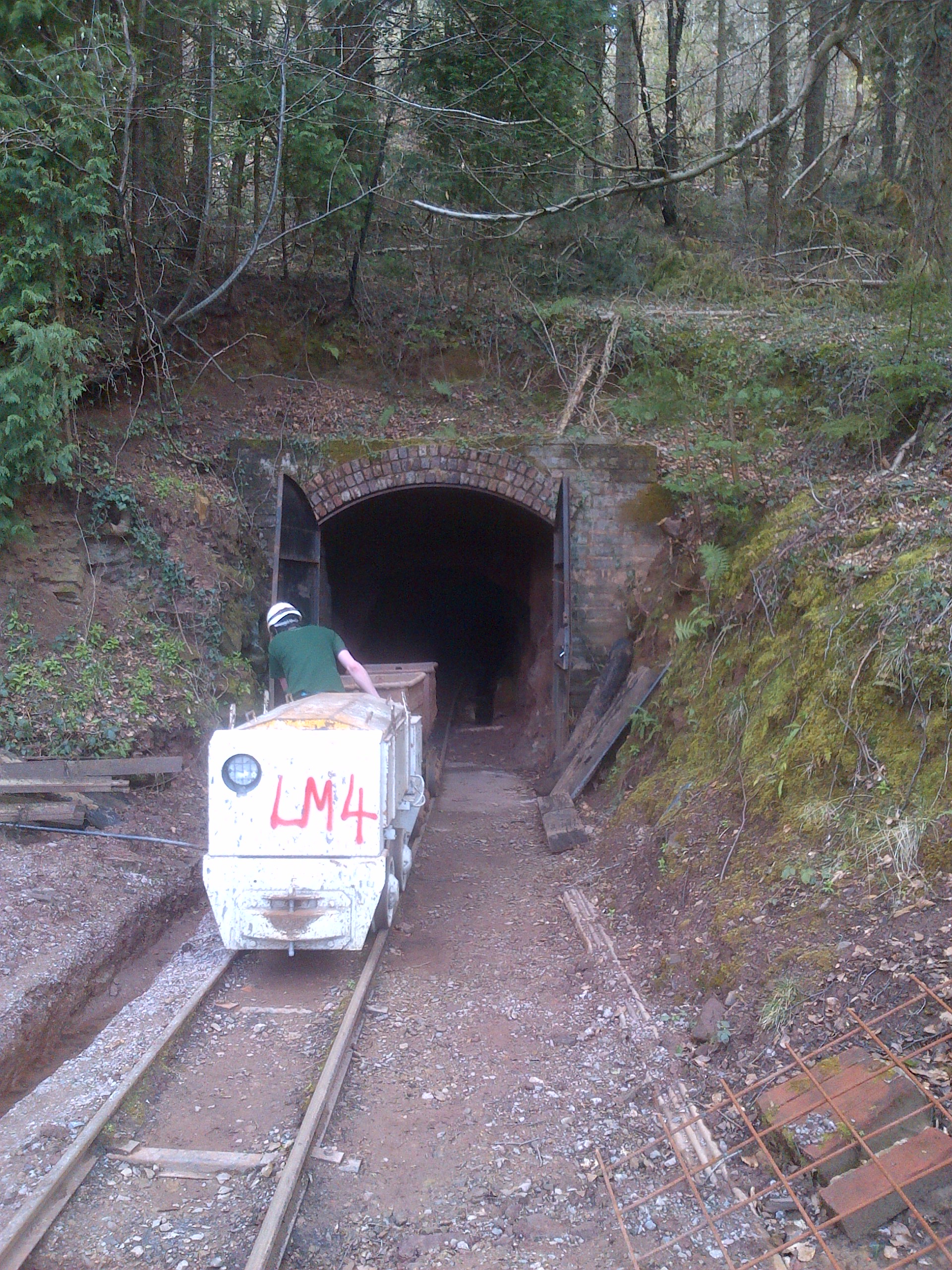
Upper Perlieu Wood Images

Images are sourced within 2km of 51.863766/-2.5365015 or Grid Reference SO6318. Thanks to Geograph Open Source API. All images are credited.

Old Bridge Marker on Hawthorns Road, Hope Mansell Bridge Marker in the northeast parapet of a bridge on Hawthorns Road over the disused Mitcheldean Road and Forest of Dean Junction Railway. Hope Mansell parish. Inscribed G.W.R. possibly above S D C. The bridge is on a railway line built c.1874 by different contractors for the Mitcheldean Road and Forest of Dean Junction Railway Company. This company was absorbed by the GWR in 1880, who completed the line soon after. The stone is thought to mark the Great Western Railway's ownership of, or responsibility for, the bridge. The vertical groove next to the stone is unexplained but might show where a bridge weight plate, e.g. <a title="https://www.geograph.org.uk/photo/6463518," href="https://www.geograph.org.uk/photo/6463518,">Link</a> was fixed to the parapet.

Milestone Society National ID: HF_HOPEMA01br
Old Bridge Marker on Hawthorns Road, Hope Mansell
Bridge Marker in the northeast parapet of a bridge on Hawthorns Road over the disused Mitcheldean Road and Forest of Dean Junction Railway. Hope Mansell parish. Inscribed G.W.R. possibly above S D C. The bridge is on a railway line built c.1874 by different contractors for the Mitcheldean Road and Forest of Dean Junction Railway Company. This company was absorbed by the GWR in 1880, who completed the line soon after. The stone is thought to mark the Great Western Railway's ownership of, or responsibility for, the bridge. The vertical groove next to the stone is unexplained but might show where a bridge weight plate, e.g. Link was fixed to the parapet. Milestone Society National ID: HF_HOPEMA01br
Lodgegrove Brook The brook runs alongside a small track with a public footpath, as well as acting as the border between Herefordshire and Gloucestershire.
Lodgegrove Brook
The brook runs alongside a small track with a public footpath, as well as acting as the border between Herefordshire and Gloucestershire.
Boundary Stone, Ruardean One of the many replacement boundary stone delineating the periphery of the "Forest of Dean". The "Forest" is very specific because resident have "rights in common" like grazing sheep and coal mining, though you may have to be born there to classify as a "free miner". This is on the Northern verge in Barn Lane.

Inscription: D. F. / 2012 / Nᴼ. 121

Milestone Society National ID: GL_DFDRYB121em
Boundary Stone, Ruardean
One of the many replacement boundary stone delineating the periphery of the "Forest of Dean". The "Forest" is very specific because resident have "rights in common" like grazing sheep and coal mining, though you may have to be born there to classify as a "free miner". This is on the Northern verge in Barn Lane. Inscription: D. F. / 2012 / Nᴼ. 121 Milestone Society National ID: GL_DFDRYB121em
Commemorative Plate, Ruardean On the wall of a corner house in Meend Lane (with Barn Lane).

Inscription:
V(crown)R
This road for the distance
of 2675 ↢ yards was made
at the expense of the crown
for the benefit of the
inhabitants and district
1899 - 1900
E.Stafford Howard Esq
Commissioner
Philip Baylis Esq
Dep Surveyor

Milestone Society National ID: GL_DRYBR01cm
Commemorative Plate, Ruardean
On the wall of a corner house in Meend Lane (with Barn Lane). Inscription: V(crown)R This road for the distance of 2675 ↢ yards was made at the expense of the crown for the benefit of the inhabitants and district 1899 - 1900 E.Stafford Howard Esq Commissioner Philip Baylis Esq Dep Surveyor Milestone Society National ID: GL_DRYBR01cm
Stone Stile, Ruardean On Gloucestershire footpath DRD34 entering a closed path that leads to Pettycroft, looking North . The view back towards Ruardean Woodside is <a href="https://www.geograph.org.uk/photo/7297883">SO6217 : Stone Stile, Ruardean</a>.
Stone Stile, Ruardean
On Gloucestershire footpath DRD34 entering a closed path that leads to Pettycroft, looking North . The view back towards Ruardean Woodside is SO6217 : Stone Stile, Ruardean.
Stone Stile, Ruardean On Gloucestershire footpath DRD34 entering a closed path that leads to Pettycroft, looking back to Ruardean Woodside. The view North is <a href="https://www.geograph.org.uk/photo/7297881">SO6217 : Stone Stile, Ruardean</a>.
Stone Stile, Ruardean
On Gloucestershire footpath DRD34 entering a closed path that leads to Pettycroft, looking back to Ruardean Woodside. The view North is SO6217 : Stone Stile, Ruardean.
Stone Stile, Ruardean On Gloucestershire footpath DRD34, a route from Barn Lane to Perrycroft. This looks South. the view up the stile is <a href="https://www.geograph.org.uk/photo/7299548">SO6216 : Stone Stile, Ruardean</a>.
Stone Stile, Ruardean
On Gloucestershire footpath DRD34, a route from Barn Lane to Perrycroft. This looks South. the view up the stile is SO6216 : Stone Stile, Ruardean.
Stone Stile, Ruardean On Gloucestershire footpath DRD34, a route from Barn Lane to Perrycroft. This looks North. the view down the stile is <a href="https://www.geograph.org.uk/photo/7299546">SO6216 : Stone Stile, Ruardean</a>.
Stone Stile, Ruardean
On Gloucestershire footpath DRD34, a route from Barn Lane to Perrycroft. This looks North. the view down the stile is SO6216 : Stone Stile, Ruardean.
Stone Stile, Ruardean On Gloucestershire footpath DRD6, North of the church. the remains of a "Fallen Idle".
Stone Stile, Ruardean
On Gloucestershire footpath DRD6, North of the church. the remains of a "Fallen Idle".
Toll House, Ruardean Former Toll House, "Pike Cottage" on the North side of High Street. Used by the Forest of Dean Turnpike Trust up until the 19ᵗʰ C. Parts of Ruardean are in the "Forest" but the High Street is not.

Milestone Society National ID: GL.RUA
Toll House, Ruardean
Former Toll House, "Pike Cottage" on the North side of High Street. Used by the Forest of Dean Turnpike Trust up until the 19ᵗʰ C. Parts of Ruardean are in the "Forest" but the High Street is not. Milestone Society National ID: GL.RUA
Old railway bridge The road to Drybrook crosses the Severn and Wye railway which closed to passenger service in 1929.
Old railway bridge
The road to Drybrook crosses the Severn and Wye railway which closed to passenger service in 1929.
Ruardean Oak and war memorial Early on a morning of December snow.
The grey marks on the sky are snowflakes.
Ruardean Oak and war memorial
Early on a morning of December snow. The grey marks on the sky are snowflakes.
West End, Ruardean 8am, New Year's Day, 2023.
West End, Ruardean
8am, New Year's Day, 2023.
View towards Ruardean The village is shown half way up the hill.
View towards Ruardean
The village is shown half way up the hill.
Boundary Stone, Ruardean Woodside Royal Forest of Dean boundary stone on the West side of Walker's Lane opposite the farmyard entrance. It also marks the boundary between Ruardean and East Dean, Gloucestershire.

Inscription: D. F. / 2009 / Nᴼ. 127

Milestone Society National ID: GL_DFDRRU127em
Boundary Stone, Ruardean Woodside
Royal Forest of Dean boundary stone on the West side of Walker's Lane opposite the farmyard entrance. It also marks the boundary between Ruardean and East Dean, Gloucestershire. Inscription: D. F. / 2009 / Nᴼ. 127 Milestone Society National ID: GL_DFDRRU127em
Boundary Stone, Ruardean Woodside Forest of Dean boundary stone on the West side of Walker's Lane and adjacent to Gloucestershire footpath DRD45.

Inscription: D. F. / 2015 / Nᴼ. 126

Milestone Society National ID: GL_DFDRRU126em
Boundary Stone, Ruardean Woodside
Forest of Dean boundary stone on the West side of Walker's Lane and adjacent to Gloucestershire footpath DRD45. Inscription: D. F. / 2015 / Nᴼ. 126 Milestone Society National ID: GL_DFDRRU126em
Boundary Stone, Ruardean Hill Forest of Dean boundary stone at the corner of Spout Lane and a stile on Gloucestershire footpath DRD41.

Inscription: D. F. / 1832 / Nᴼ. 128

Milestone Society National ID: GL_DFDRRU128em
Boundary Stone, Ruardean Hill
Forest of Dean boundary stone at the corner of Spout Lane and a stile on Gloucestershire footpath DRD41. Inscription: D. F. / 1832 / Nᴼ. 128 Milestone Society National ID: GL_DFDRRU128em
Boundary Stone, Ruardean Walk Forest of Dean boundary marker in the garden of "Morse View" on the North side of Spout Lane.

Inscription: D. F. / 1832 / Nᴼ. 129

Milestone Society National ID: GL_DFDRRU129em
Boundary Stone, Ruardean Walk
Forest of Dean boundary marker in the garden of "Morse View" on the North side of Spout Lane. Inscription: D. F. / 1832 / Nᴼ. 129 Milestone Society National ID: GL_DFDRRU129em
Show me another place!

Upper Perlieu Wood is located at Grid Ref: SO6318 (Lat: 51.863766, Lng: -2.5365015)

Unitary Authority: County of Herefordshire

Police Authority: West Mercia

What 3 Words

///sling.sunflower.facing. Near Drybrook, Gloucestershire

Related Wikis

Nearby Amenities

Located within 500m of 51.863766,-2.5365015
The data included in this document is from www.openstreetmap.org. The data is made available under ODbL.

Have you been to Upper Perlieu Wood?

Leave your review of Upper Perlieu Wood below (or comments, questions and feedback).