Corporation Wood

Wood, Forest in Gloucestershire

England

Corporation Wood

Frogland Cross Farm at Frogland Cross
Frogland Cross Credit: Chris Shaw

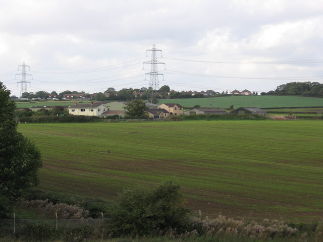
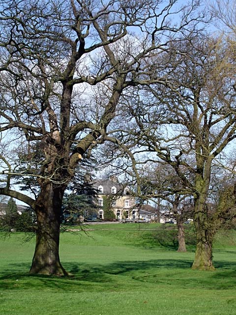
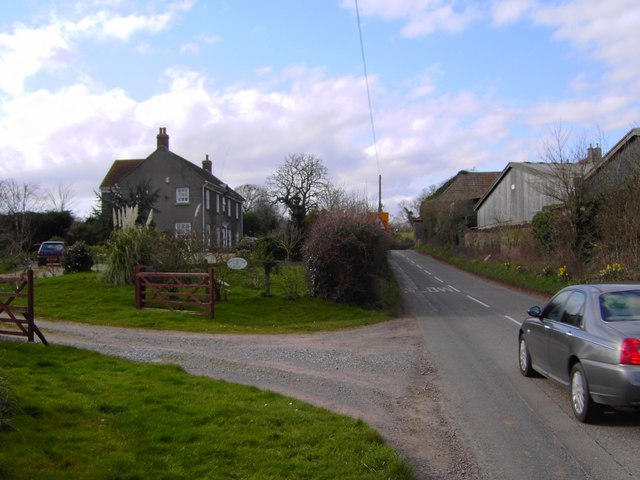
Corporation Wood is a picturesque forest located in Gloucestershire, England. Covering an area of approximately 200 acres, it is a popular destination for nature enthusiasts, hikers, and wildlife lovers. The wood is situated on the outskirts of the town of Wood and is easily accessible from the nearby road network.

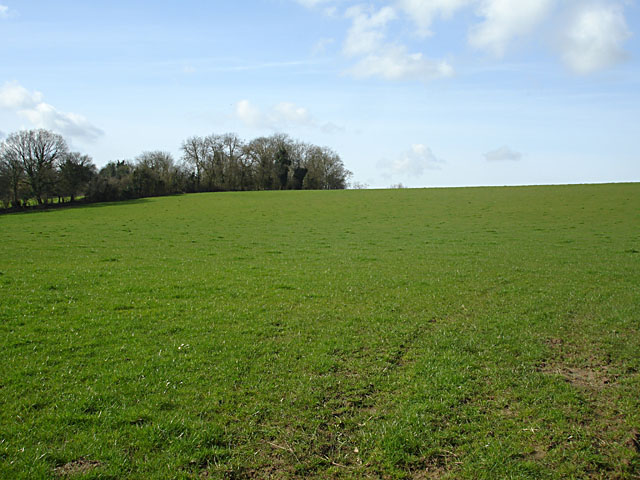
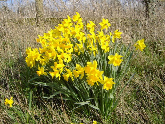
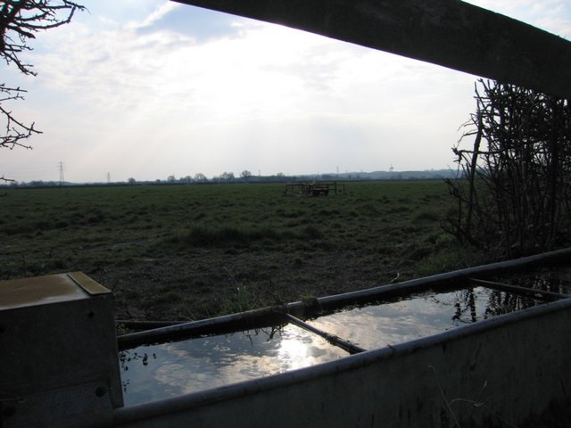
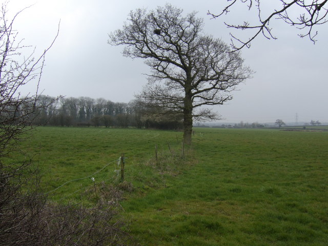
The forest consists predominantly of broadleaf trees, including oak, beech, and ash, creating a stunning canopy of foliage that changes with the seasons. This diverse ecosystem supports a wide range of flora and fauna, making it a haven for wildlife. Visitors may spot various species of birds, such as woodpeckers and owls, as well as small mammals like squirrels and foxes.

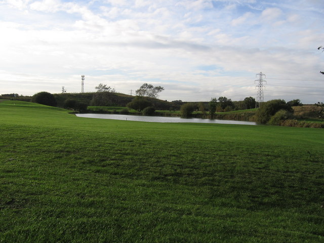
Corporation Wood offers a network of well-maintained trails that allow visitors to explore its natural beauty. These paths wind through the forest, providing stunning views of the surrounding landscape. There are also designated picnic areas and benches where visitors can relax and enjoy the tranquil atmosphere.

The wood is managed by the local council and is open to the public throughout the year. It is a protected area, and visitors are encouraged to follow the designated paths and respect the natural environment. Additionally, there are information boards located at key points within the forest, providing educational insights into the local flora and fauna.

Corporation Wood, Gloucestershire, is a true gem for nature lovers, offering a serene escape from the hustle and bustle of everyday life. Its beautiful scenery, diverse wildlife, and well-maintained trails make it a must-visit destination for anyone seeking a peaceful and immersive woodland experience.

If you have any feedback on the listing, please let us know in the comments section below.

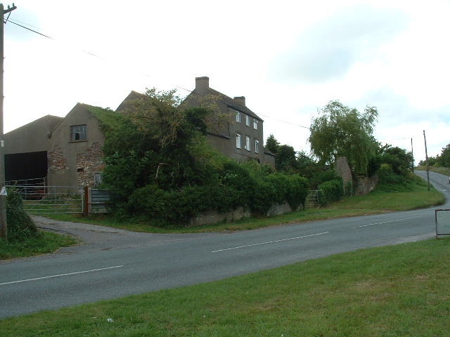
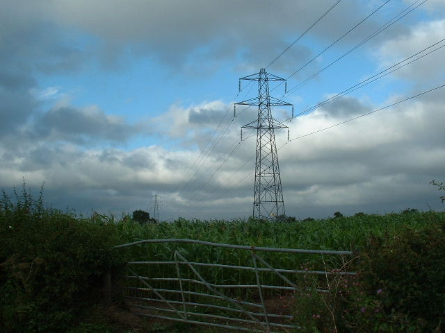
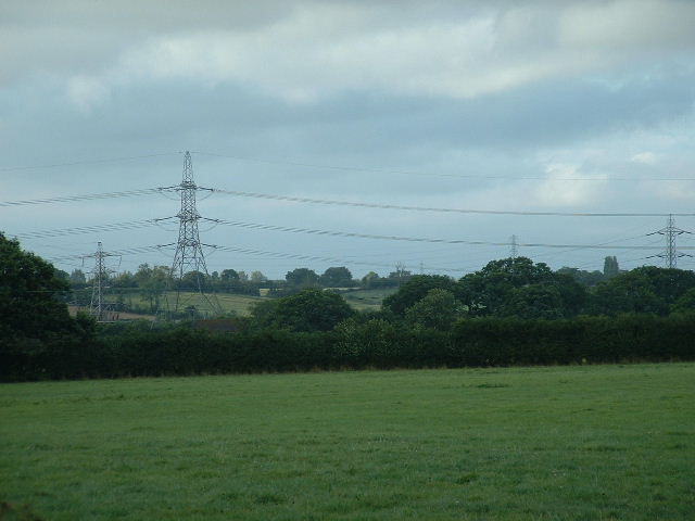
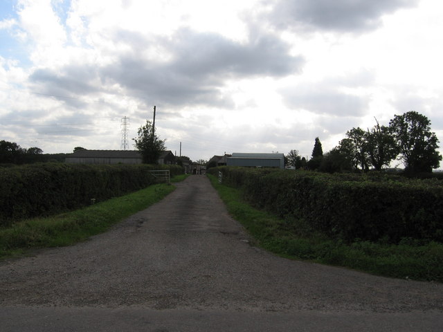
Corporation Wood Images

Images are sourced within 2km of 51.547584/-2.5234997 or Grid Reference ST6383. Thanks to Geograph Open Source API. All images are credited.

Frogland Cross Farm at Frogland Cross
Frogland Cross
Farm at Frogland Cross
Corn and Pylons Cornfield with extra pylons (very common around here) near centre of square
Corn and Pylons
Cornfield with extra pylons (very common around here) near centre of square
Marle Hills Looking NNE across the square towards the Marle Hills
Marle Hills
Looking NNE across the square towards the Marle Hills
Entrance to Court Farm
Hortham Farm Seen from the bridge over the M5.
Hortham Farm
Seen from the bridge over the M5.
Pond on the Woodlands Golf Course
Woodlands Golf Course - Green of the Second Hole
M4 to Vanishing Point The M4 on a lazy Sunday afternoon. The photographer's position is close by in the square to the south. The Bridge in the distance is 2km away in square <a href="https://www.geograph.org.uk/gridref/ST6282">ST6282</a>. The houses to the left are in the town of Bradley Stoke (a new town nicknamed Sadley Broke during the housing market slump in the 90s). To the right is farmland.
M4 to Vanishing Point
The M4 on a lazy Sunday afternoon. The photographer's position is close by in the square to the south. The Bridge in the distance is 2km away in square ST6282. The houses to the left are in the town of Bradley Stoke (a new town nicknamed Sadley Broke during the housing market slump in the 90s). To the right is farmland.
Water logged field Water lying in the field after the recent wet weather.
Water logged field
Water lying in the field after the recent wet weather.
The Grange Hotel
The Grange Hotel
Field opposite Gloucester Road Farm
Perrinpit Farm, North Corner, Frampton Cotterel, Bristol Appears to be a large farm to judge from the size of the buildings.
Perrinpit Farm, North Corner, Frampton Cotterel, Bristol
Appears to be a large farm to judge from the size of the buildings.
Daffodils at entrance to Perrinpit Farm, Frampton Cotterel A yellow time of year, what with daffodils, forsythia (and celandines just visible at the lower edge of the image).
Daffodils at entrance to Perrinpit Farm, Frampton Cotterel
A yellow time of year, what with daffodils, forsythia (and celandines just visible at the lower edge of the image).
Challacombe House, Perrinpit Road, Frampton Cotterel Not obviously associated with the farm opposite, it might once have been the farmhouse.
Challacombe House, Perrinpit Road, Frampton Cotterel
Not obviously associated with the farm opposite, it might once have been the farmhouse.
Water Trough The water trough serves 2 fields (damn, I mentioned the fields). The tower in the distance is the RAC centre overlooking the M4/M5 interchange in square <a href="https://www.geograph.org.uk/gridref/ST6183">ST6183</a>.
Water Trough
The water trough serves 2 fields (damn, I mentioned the fields). The tower in the distance is the RAC centre overlooking the M4/M5 interchange in square ST6183.
View south of Angers Farm A solitary oak leading the eye across pasture to a small unnamed wood.
View south of Angers Farm
A solitary oak leading the eye across pasture to a small unnamed wood.
View west towards Almondsbury The field contains machinery left unattended. In the distance is the futuristic skyline centred around the RAC buildings at the M4/M5 Almondsbury interchange north of Bristol.
View west towards Almondsbury
The field contains machinery left unattended. In the distance is the futuristic skyline centred around the RAC buildings at the M4/M5 Almondsbury interchange north of Bristol.
Court Farm, Gaunt's Earthcott The backside of the farm visible from the footpath to Patchway.
Court Farm, Gaunt's Earthcott
The backside of the farm visible from the footpath to Patchway.
Show me another place!

Corporation Wood is located at Grid Ref: ST6383 (Lat: 51.547584, Lng: -2.5234997)

Unitary Authority: South Gloucestershire

Police Authority: Avon and Somerset

What 3 Words

///smirking.gears.solved. Near Winterbourne, Gloucestershire

Nearby Locations

Corporation Wood

Related Wikis

Gaunt's Earthcott

Gaunt's Earthcott, sometimes spelt Gaunts Earthcott, is a hamlet in the civil parish of Almondsbury in South Gloucestershire, England. It consists of a...

Stoke Brook

Stoke Brook is a small brook in South Gloucestershire, England. It gives its name to the settlements of Stoke Gifford, Harry Stoke, Little Stoke, Great...

Bradley Stoke Community School

Bradley Stoke Community School, often locally referred to by its abbreviated form "BSCS", is an all-through mixed-sex academy located in Bradley Stoke...

Almondsbury Interchange

The Almondsbury Interchange in South Gloucestershire, is one of the United Kingdom's largest motorway stack interchanges. The interchange is one of only...

St Michael's Church, Winterbourne

St Michael the Archangel Church or simply St Michael's Church is an Anglican parish church located in Winterbourne, South Gloucestershire, on the northern...

Great Western Air Ambulance Charity

The Great Western Air Ambulance Charity (GWAAC) is a charity air ambulance service in South West England. It operates for the relief of sickness and injury...

Bradley Stoke

Bradley Stoke is a town in South Gloucestershire, England, situated 6 miles (10 kilometres) northeast of Bristol, It is near the Severn Estuary of the...

Three Brooks Local Nature Reserve

The Three Brooks Nature Reserve is a Local Nature Reserve of approximately 44 hectares (110 acres) in Bradley Stoke, South Gloucestershire, England. It...

Nearby Amenities

Located within 500m of 51.547584,-2.5234997
Power: tower
Source: Yahoo
Lat/Long: 51.5510546/-2.5279637
The data included in this document is from www.openstreetmap.org. The data is made available under ODbL.

Have you been to Corporation Wood?

Leave your review of Corporation Wood below (or comments, questions and feedback).