Langthwaite Gill Plantation

Wood, Forest in Westmorland South Lakeland

England

Langthwaite Gill Plantation

Snow on the Fells An early morning view towards Brownthwaite and Casterton Fell from Whoop Hall. Overnight snow has changed the scene.
Snow on the Fells Credit: David Dixon

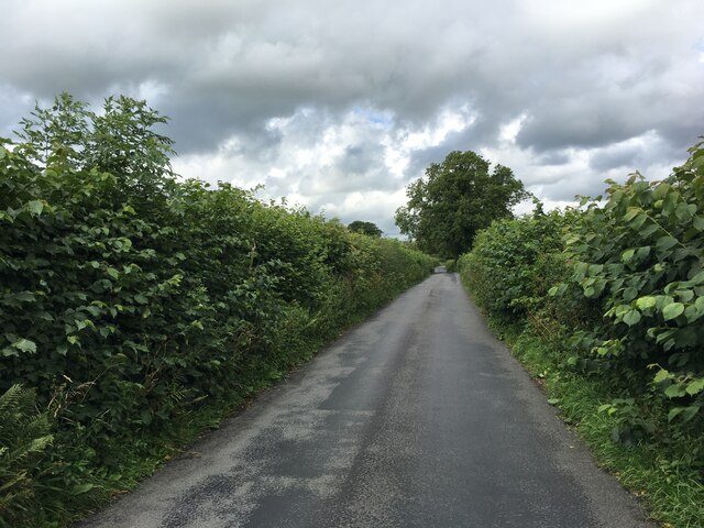
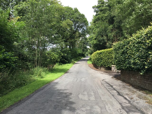
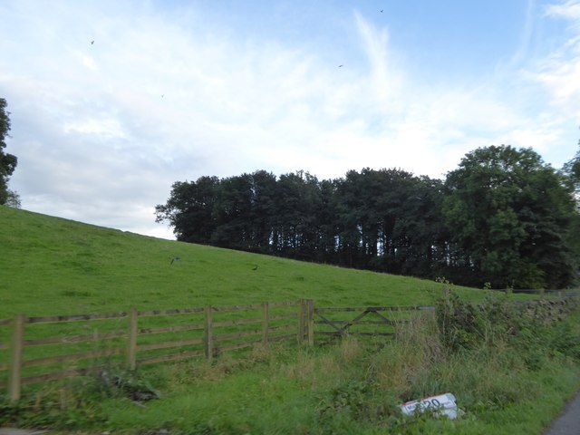
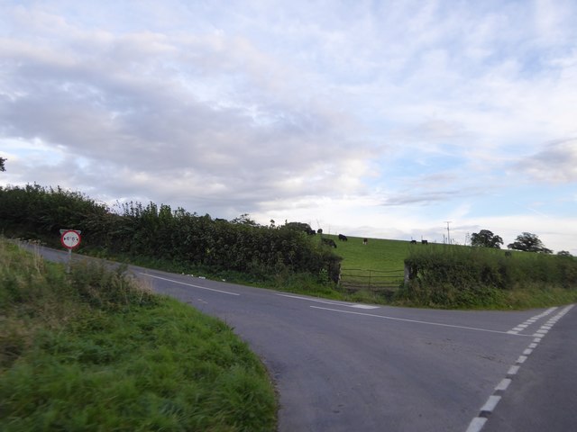
Langthwaite Gill Plantation is a woodland area located in Westmorland, a historic county in northwest England. Situated near the village of Langthwaite, this plantation covers a vast expanse of land and is renowned for its diverse range of trees and natural beauty.

The woodland is primarily composed of deciduous trees, including oak, beech, and birch. These trees provide a dense canopy, creating a shaded environment and a haven for a variety of wildlife. The forest floor is adorned with a lush carpet of ferns, mosses, and wildflowers, adding to the enchanting atmosphere of the plantation.

Langthwaite Gill Plantation is intersected by a meandering stream, Langthwaite Gill, which adds to the picturesque charm of the area. The stream is home to a thriving population of aquatic creatures, such as trout and freshwater shrimps, and provides a source of water for the surrounding flora and fauna.

The woodland is a popular destination for nature enthusiasts, hikers, and birdwatchers. Various species of birds, including woodpeckers, blackbirds, and finches, can be spotted among the treetops, while squirrels, rabbits, and deer are frequently encountered on the forest floor.

The plantation is managed by local authorities to ensure the preservation of its natural beauty and biodiversity. Visitors are encouraged to respect the delicate ecosystem and follow designated trails to minimize their impact on the environment. Overall, Langthwaite Gill Plantation offers a tranquil retreat for those seeking to immerse themselves in the wonders of nature.

If you have any feedback on the listing, please let us know in the comments section below.

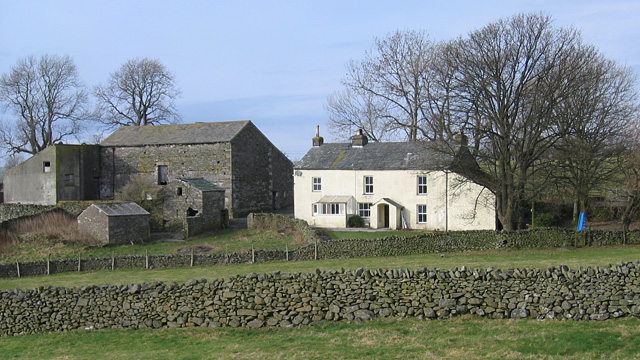
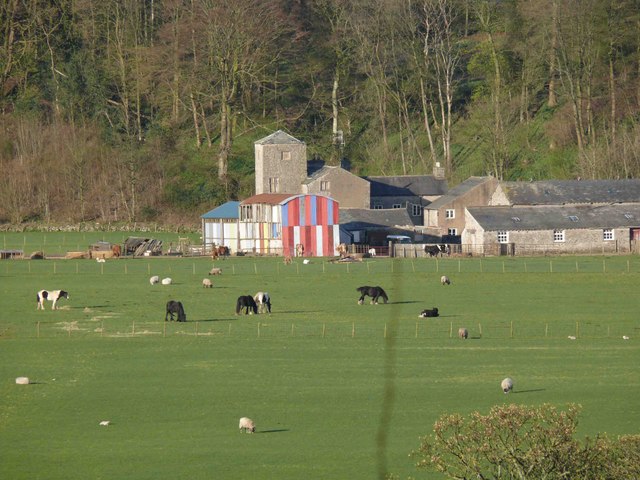
Langthwaite Gill Plantation Images

Images are sourced within 2km of 54.216045/-2.558381 or Grid Reference SD6380. Thanks to Geograph Open Source API. All images are credited.

Snow on the Fells An early morning view towards Brownthwaite and Casterton Fell from Whoop Hall. Overnight snow has changed the scene.
Snow on the Fells
An early morning view towards Brownthwaite and Casterton Fell from Whoop Hall. Overnight snow has changed the scene.
Barbon High and Low fells from Scout Hill Looking across Kirkby Lonsdale valley
Barbon High and Low fells from Scout Hill
Looking across Kirkby Lonsdale valley
Path to the summit, Brownthwaite The path from Gale Garth leading to the white painted trigonometrical column (trig point) on Brownthwaite.
Path to the summit, Brownthwaite
The path from Gale Garth leading to the white painted trigonometrical column (trig point) on Brownthwaite.
Benchmark, Brownthwaite Detail of the flush bracket benchmark on the concrete Ordnance Survey triangulation pillar on Brownthwaite. The flush bracket, benchmark number S5344, is on the southeast face of the pillar and marks a height of 436.9613m above mean sea level (Ordnance Datum Newlyn), last verified in 1953 (location photograph <a href="https://www.geograph.org.uk/photo/7342770">SD6580 : Triangulation Pillar, Brownthwaite</a>).
Benchmark, Brownthwaite
Detail of the flush bracket benchmark on the concrete Ordnance Survey triangulation pillar on Brownthwaite. The flush bracket, benchmark number S5344, is on the southeast face of the pillar and marks a height of 436.9613m above mean sea level (Ordnance Datum Newlyn), last verified in 1953 (location photograph SD6580 : Triangulation Pillar, Brownthwaite).
Triangulation Pillar, Brownthwaite The concrete Ordnance Survey triangulation pillar on the summit of Casterton Fell northeast of Brownthwaite Moss.
The pillar was constructed in 1949. The flush bracket benchmark number S5344 on the southeast face of the pillar marks a height of 436.9613m above mean sea level (Ordnance Datum Newlyn) last verified in 1953 (detail photograph <a href="https://www.geograph.org.uk/photo/7342742">SD6580 : Benchmark, Brownthwaite</a>).
Triangulation Pillar, Brownthwaite
The concrete Ordnance Survey triangulation pillar on the summit of Casterton Fell northeast of Brownthwaite Moss. The pillar was constructed in 1949. The flush bracket benchmark number S5344 on the southeast face of the pillar marks a height of 436.9613m above mean sea level (Ordnance Datum Newlyn) last verified in 1953 (detail photograph SD6580 : Benchmark, Brownthwaite).
Brownthwaite Moss The highest point on Brownthwaite (and Barbon Low Fell) is about 600m NE of Brownthwaite Pike. The trig point is just visible. Brownthwaite Moss is between.
Brownthwaite Moss
The highest point on Brownthwaite (and Barbon Low Fell) is about 600m NE of Brownthwaite Pike. The trig point is just visible. Brownthwaite Moss is between.
Trig Point, Brownthwaite The highest point on Brownthwaite (437m). Middleton Fell is in the background, with the highest point at Calf Top (609m).
Trig Point, Brownthwaite
The highest point on Brownthwaite (437m). Middleton Fell is in the background, with the highest point at Calf Top (609m).
Gateway, Brownthwaite On the SE side of Brownthwaite, looking towards Casterton Fell (in sunlight).
Gateway, Brownthwaite
On the SE side of Brownthwaite, looking towards Casterton Fell (in sunlight).
Minor road towards Barbon
Old Milestone by the A683, Casterton Grange, Casterton Carved stone post by the A683, in parish of CASTERTON (SOUTH LAKELAND District), by entrance to Casterton Grange, on verge, on West side of road. Sedbergh SKL stone, erected by the Sedbergh turnpike trust in the 19th century. 

Inscription reads:-
: S / 9 : : CASTERTON : : K.L. / 1¾ :
(To Sedbergh and Kirkby Lonsdale)

Grade II listed. 
List Entry Number: 1086896 <span class="nowrap"><a title="https://historicengland.org.uk/listing/the-list/list-entry/1086896" rel="nofollow ugc noopener" href="https://historicengland.org.uk/listing/the-list/list-entry/1086896">Link</a><img style="margin-left:2px;" alt="External link" title="External link - shift click to open in new window" src="https://s1.geograph.org.uk/img/external.png" width="10" height="10"/></span>

Milestone Society National ID: WE_SBKL09.
Old Milestone by the A683, Casterton Grange, Casterton
Carved stone post by the A683, in parish of CASTERTON (SOUTH LAKELAND District), by entrance to Casterton Grange, on verge, on West side of road. Sedbergh SKL stone, erected by the Sedbergh turnpike trust in the 19th century. Inscription reads:- : S / 9 : : CASTERTON : : K.L. / 1¾ : (To Sedbergh and Kirkby Lonsdale) Grade II listed. List Entry Number: 1086896 LinkExternal link Milestone Society National ID: WE_SBKL09.
Field and patch of woodland south of Barbon One of several small patches of woodland beside the A683
Field and patch of woodland south of Barbon
One of several small patches of woodland beside the A683
Minor road junction north of Casterton
Illegal trail bike riders on Barbon Low Fell A pair of off-road bikers destroying the peace (and the fellside). They probably drove up from the bridleway to the east (which they have no legal right to ride on either). The sheep grazing nearby weren't impressed either.
Illegal trail bike riders on Barbon Low Fell
A pair of off-road bikers destroying the peace (and the fellside). They probably drove up from the bridleway to the east (which they have no legal right to ride on either). The sheep grazing nearby weren't impressed either.
Fell Garth
Fell Garth
Andy Goldsworthy sheepfold on Fellfoot Road, Barbon One of a number beside the lane, all containing boulders (and no sheep).
Andy Goldsworthy sheepfold on Fellfoot Road, Barbon
One of a number beside the lane, all containing boulders (and no sheep).
Andy Goldsworthy sheepfold on Fellfoot Road, Barbon One of a number beside the lane, all containing boulders (and no sheep).
Andy Goldsworthy sheepfold on Fellfoot Road, Barbon
One of a number beside the lane, all containing boulders (and no sheep).
Brownthwaite Moss A boggy hollow between Brownthwaite Pike and the highest summit of Barbon Low Fell.
Brownthwaite Moss
A boggy hollow between Brownthwaite Pike and the highest summit of Barbon Low Fell.
Show me another place!

Langthwaite Gill Plantation is located at Grid Ref: SD6380 (Lat: 54.216045, Lng: -2.558381)

Administrative County: Cumbria

District: South Lakeland

Police Authority: Cumbria

What 3 Words

///crackles.pave.conqueror. Near Kirkby Lonsdale, Cumbria

Related Wikis

Barbon

Barbon is a village and civil parish in Cumbria, England. According to the 2001 census it had a population of 263, which decreased to 236 according to...

Casterton School

Casterton School was an independent boarding and day school for girls aged 3 to 18 years in the village of Casterton in rural Cumbria. In its final years...

Casterton, Cumbria

Casterton is a small village and civil parish close to Kirkby Lonsdale on the River Lune in the south east corner of Cumbria, England. In the 2001 census...

Holy Trinity Church, Casterton

Holy Trinity Church is in the village of Casterton, Cumbria, England. It is an active Anglican parish church in the deanery of Kendal, the archdeaconry...

Nearby Amenities

Located within 500m of 54.216045,-2.558381
Created By: Merkaartor 0.13
Lat/Long: 54.2159322/-2.5651659
Langthwaite
Place: hamlet
Lat/Long: 54.216405/-2.565447
Barrier: stile
Lat/Long: 54.2129753/-2.5603461
Power: pole
Lat/Long: 54.2152468/-2.5515804
Power: pole
Lat/Long: 54.2151146/-2.5524935
Power: pole
Lat/Long: 54.2149395/-2.5536327
Power: pole
Lat/Long: 54.2145841/-2.5559991
Power: pole
Lat/Long: 54.2143472/-2.5575552
Power: pole
Lat/Long: 54.2136802/-2.5599113
Power: pole
Lat/Long: 54.212911/-2.5616054
Power: pole
Lat/Long: 54.2128037/-2.5628151
Power: pole
Lat/Long: 54.2165434/-2.5660263
Power: pole
Lat/Long: 54.2157503/-2.5656769
Power: pole
Lat/Long: 54.2151133/-2.5653833
Power: pole
Lat/Long: 54.2141502/-2.5649106
Casterton Fellfoot Drove Folds
Artist Name: Andy Goldsworthy
Artwork Type: installation
Tourism: artwork
Website: http://www.sheepfoldscumbria.co.uk/html/info/info21.htm
Lat/Long: 54.2156788/-2.5598523
Casterton Fellfoot Drove Folds
Artist Name: Andy Goldsworthy
Artwork Type: installation
Tourism: artwork
Website: http://www.sheepfoldscumbria.co.uk/html/info/info21.htm
Lat/Long: 54.2124394/-2.5601639
Casterton Fellfoot Drove Folds
Artist Name: Andy Goldsworthy
Artwork Type: installation
Tourism: artwork
Website: http://www.sheepfoldscumbria.co.uk/html/info/info21.htm
Lat/Long: 54.2130228/-2.5599628
Casterton Fellfoot Drove Folds
Artist Name: Andy Goldsworthy
Artwork Type: installation
Tourism: artwork
Website: http://www.sheepfoldscumbria.co.uk/html/info/info21.htm
Lat/Long: 54.2195711/-2.5581812
The data included in this document is from www.openstreetmap.org. The data is made available under ODbL.

Have you been to Langthwaite Gill Plantation?

Leave your review of Langthwaite Gill Plantation below (or comments, questions and feedback).