Bellgate Wood

Wood, Forest in Westmorland South Lakeland

England

Bellgate Wood

Road junction in Barbondale The signpost points left to Barbon and Sedbergh; right to Dent and Hawes; and behind the camera to Casterton and Kirkby Lonsdale. There's also a cycle route sign for the Lakes and Dales Loop.
Road junction in Barbondale Credit: Stephen Craven

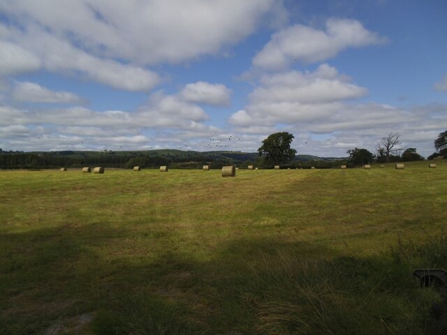
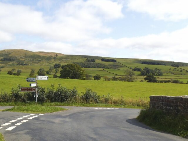
Bellgate Wood is a picturesque woodland located in Westmorland, a county in the northwestern region of England. Spread across an area of approximately 100 acres, it is renowned for its natural beauty and diverse ecosystem. The wood is situated near the village of Bellgate, which lends its name to the woodland.

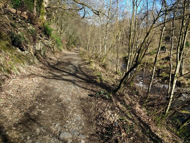
Bellgate Wood is predominantly composed of deciduous trees, including oak, beech, and ash. These majestic trees provide a lush canopy that filters sunlight, creating a tranquil and enchanting atmosphere within the wood. The forest floor is covered with an array of wildflowers, ferns, and mosses, adding to the charm and biodiversity of the area.

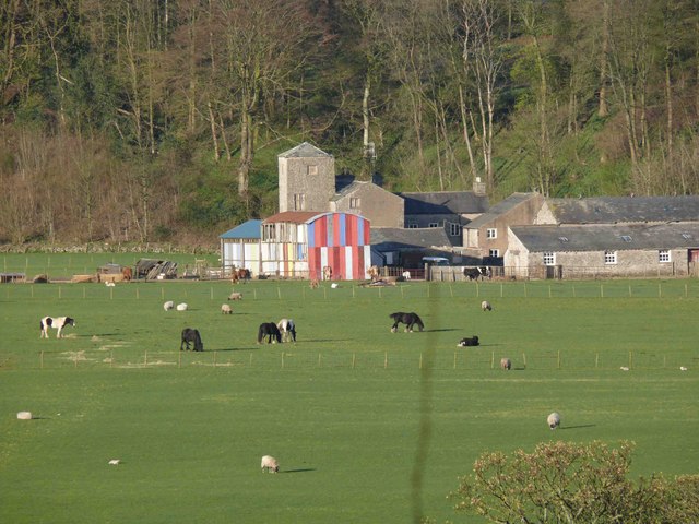
The wood is home to a variety of wildlife, making it a haven for nature enthusiasts and birdwatchers. Visitors may spot species such as red squirrels, badgers, deer, and a plethora of bird species including woodpeckers, owls, and finches. The abundance of wildlife and birdlife in Bellgate Wood is a testament to the conservation efforts and the undisturbed natural habitat it provides.

The woodland also offers several walking trails, allowing visitors to explore its captivating beauty at their leisure. These trails meander through the forest, offering glimpses of small streams, ancient trees, and hidden clearings. The peaceful ambiance and stunning vistas make Bellgate Wood a popular destination for hikers, photographers, and those seeking solace in nature.

Overall, Bellgate Wood in Westmorland is a treasured natural gem, showcasing the splendor of England's woodlands. Its rich biodiversity, scenic trails, and tranquil ambiance make it a must-visit destination for nature lovers and those seeking an escape from the hustle and bustle of everyday life.

If you have any feedback on the listing, please let us know in the comments section below.

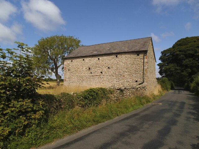
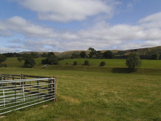
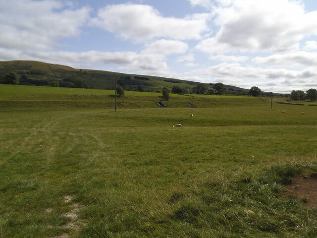
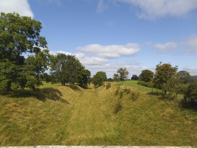
Bellgate Wood Images

Images are sourced within 2km of 54.223365/-2.56144 or Grid Reference SD6380. Thanks to Geograph Open Source API. All images are credited.

Road junction in Barbondale The signpost points left to Barbon and Sedbergh; right to Dent and Hawes; and behind the camera to Casterton and Kirkby Lonsdale. There's also a cycle route sign for the Lakes and Dales Loop.
Road junction in Barbondale
The signpost points left to Barbon and Sedbergh; right to Dent and Hawes; and behind the camera to Casterton and Kirkby Lonsdale. There's also a cycle route sign for the Lakes and Dales Loop.
Barbon St Bartholomew - lychgate The lychgate bears the dates 1872 and 1915. See also <a href="https://www.geograph.org.uk/photo/3503493">SD6382 : Lychgate, St Bartholomew's, Barbon</a>.
Barbon St Bartholomew - lychgate
The lychgate bears the dates 1872 and 1915. See also SD6382 : Lychgate, St Bartholomew's, Barbon.
Barbon St Bartholomew Unusually the tower, which contains six bells, is at the east rather than west end.
Barbon St Bartholomew
Unusually the tower, which contains six bells, is at the east rather than west end.
Barbon St Bartholomew - interior There's a good if brief description on the Church Heritage Record <span class="nowrap"><a title="https://facultyonline.churchofengland.org/CHR/ChurchDetails.aspx?id=2057#Home" rel="nofollow ugc noopener" href="https://facultyonline.churchofengland.org/CHR/ChurchDetails.aspx?id=2057#Home">Link</a><img style="margin-left:2px;" alt="External link" title="External link - shift click to open in new window" src="https://s1.geograph.org.uk/img/external.png" width="10" height="10"/></span> as well as the Historic England listing.
Barbon St Bartholomew - interior
There's a good if brief description on the Church Heritage Record LinkExternal link as well as the Historic England listing.
Barbon St Bartholomew - war memorial Even a small village like this lost seven men in the Great War.
Barbon St Bartholomew - war memorial
Even a small village like this lost seven men in the Great War.
Barbon St Bartholomew - Lord and Lady Shuttleworth's memorial Wooden panelling beneath the west window forms tribute to Ughtred James, 1st Baron Shuttleworth (1844-1939) and his wife Blanche (1851-1924) of Barbon Manor. I presume Lawrence and Edward named on the church's war memorial <a href="https://www.geograph.org.uk/photo/6981118">SD6382 : Barbon St Bartholomew - war memorial</a> were their sons.
Barbon St Bartholomew - Lord and Lady Shuttleworth's memorial
Wooden panelling beneath the west window forms tribute to Ughtred James, 1st Baron Shuttleworth (1844-1939) and his wife Blanche (1851-1924) of Barbon Manor. I presume Lawrence and Edward named on the church's war memorial SD6382 : Barbon St Bartholomew - war memorial were their sons.
Barbon St Bartholomew - west window "This window is  dedicated to Louisa wife of Sir Woodbine Parish KCH by her daughter Blanche M Kay Shuttleworth". The Shuttleworths were Lords of the Manor, and Blanche is in her turn commemorated in the panelling below the window <a href="https://www.geograph.org.uk/photo/6981128">SD6382 : Barbon St Bartholomew - Lord and Lady Shuttleworth's memorial</a>. The central motif is the Good Shepherd, a popular one of the late 19th and early 20th centuries.
Barbon St Bartholomew - west window
"This window is dedicated to Louisa wife of Sir Woodbine Parish KCH by her daughter Blanche M Kay Shuttleworth". The Shuttleworths were Lords of the Manor, and Blanche is in her turn commemorated in the panelling below the window SD6382 : Barbon St Bartholomew - Lord and Lady Shuttleworth's memorial. The central motif is the Good Shepherd, a popular one of the late 19th and early 20th centuries.
Barbon St Bartholomew - small stained glass window "In memory of James Harrison St Stephen's Day 1900". James had been vicar of the parish since 1872.
Barbon St Bartholomew - small stained glass window
"In memory of James Harrison St Stephen's Day 1900". James had been vicar of the parish since 1872.
Barbon St Bartholomew - sundial In the church grounds.
Barbon St Bartholomew - sundial
In the church grounds.
Hayfield in Barbondale A Roman road ran a little to the left of the large tree in the distance, and an early medieval settlement was just the other side of the road behind the camera <a href="https://www.geograph.org.uk/photo/2158331">SD6281 : Ancient settlement near Town End, Barbon</a>. What crop did ancient Romans and early English people grow on this  field?
Hayfield in Barbondale
A Roman road ran a little to the left of the large tree in the distance, and an early medieval settlement was just the other side of the road behind the camera SD6281 : Ancient settlement near Town End, Barbon. What crop did ancient Romans and early English people grow on this field?
Roadside laithe between Barbon and Casterton Kept in better condition than most, it even has a proper rainwater drainage system.
Roadside laithe between Barbon and Casterton
Kept in better condition than most, it even has a proper rainwater drainage system.
Disused railway embankment between Barbon and Casterton (1) The railway was the LMS route one between the 'Little North Western' line at Clapham and their main line to Scotland at Lowgill, via Ingleton. It last saw regular trains in 1954 and the track was lifted in 1967.
Disused railway embankment between Barbon and Casterton (1)
The railway was the LMS route one between the 'Little North Western' line at Clapham and their main line to Scotland at Lowgill, via Ingleton. It last saw regular trains in 1954 and the track was lifted in 1967.
Disused railway embankment between Barbon and Casterton (2) The railway was the LMS route one between the 'Little North Western' line at Clapham and their main line to Scotland at Lowgill, via Ingleton. It last saw regular trains in 1954 and the track was lifted in 1967. Note the underpass for farm traffic.
Disused railway embankment between Barbon and Casterton (2)
The railway was the LMS route one between the 'Little North Western' line at Clapham and their main line to Scotland at Lowgill, via Ingleton. It last saw regular trains in 1954 and the track was lifted in 1967. Note the underpass for farm traffic.
Disused railway cutting north of Greenber Lane The railway was the LMS route one between the 'Little North Western' line at Clapham and their main line to Scotland at Lowgill, via Ingleton. It last saw regular trains in 1954 and the track was lifted in 1967. Photo taken from the road bridge <a href="https://www.geograph.org.uk/photo/4523003">SD6280 : Casterton</a>.
Disused railway cutting north of Greenber Lane
The railway was the LMS route one between the 'Little North Western' line at Clapham and their main line to Scotland at Lowgill, via Ingleton. It last saw regular trains in 1954 and the track was lifted in 1967. Photo taken from the road bridge SD6280 : Casterton.
Signpost on Bents Lane Left to Barbon and Sedbergh, right to Sown Bridge and Settle.
Signpost on Bents Lane
Left to Barbon and Sedbergh, right to Sown Bridge and Settle.
Snow on the Fells An early morning view towards Brownthwaite and Casterton Fell from Whoop Hall. Overnight snow has changed the scene.
Snow on the Fells
An early morning view towards Brownthwaite and Casterton Fell from Whoop Hall. Overnight snow has changed the scene.
Barbon High and Low fells from Scout Hill Looking across Kirkby Lonsdale valley
Barbon High and Low fells from Scout Hill
Looking across Kirkby Lonsdale valley
Woodland track in Barbondale
Show me another place!

Bellgate Wood is located at Grid Ref: SD6380 (Lat: 54.223365, Lng: -2.56144)

Administrative County: Cumbria

District: South Lakeland

Police Authority: Cumbria

What 3 Words

///rests.eating.opened. Near Kirkby Lonsdale, Cumbria

Related Wikis

Barbon

Barbon is a village and civil parish in Westmorland and Furness, England. According to the 2001 census it had a population of 263, reducing to 236 at...

Barbon railway station

Barbon railway station was located in Westmorland (now part of Cumbria), England, serving the town and locale of Barbon on the Ingleton Branch Line....

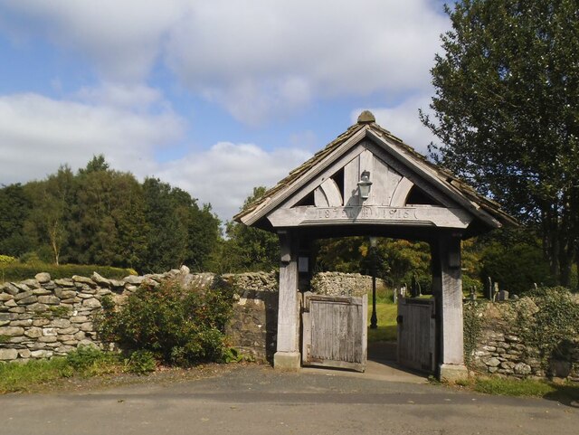
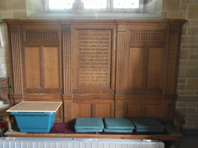
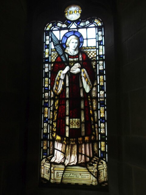
St Bartholomew's Church, Barbon

St Bartholomew's Church is in the village of Barbon, Cumbria, England. It is an active Anglican parish church in the deanery of Kendal, the archdeaconry...

Casterton School

Casterton School was an independent boarding and day school for girls aged 3 to 18 years in the village of Casterton in rural Cumbria. In its final years...

Casterton, Cumbria

Casterton is a small village and civil parish close to Kirkby Lonsdale on the River Lune in the south east corner of Cumbria, England. In the 2001 census...

Holy Trinity Church, Casterton

Holy Trinity Church is in the village of Casterton, Cumbria, England. It is an active Anglican parish church in the deanery of Kendal, the archdeaconry...

Underley Hall

Underley Hall is a large country house near Kirkby Lonsdale in Cumbria. It was designed in a Jacobean Revival style by the architect George Webster for...

Barbon Beck

Barbon Beck is a small river in Barbondale, Cumbria. It is a tributary of the River Lune. Rising at Weather Ling Hill, where it is known as Barkin Beck...

Related Videos

24 July 2021

Swimming with my daughter, enjoying the heat wave at Devils Bridge Kirkby Lonsdale.

Norwood Cottage Walk

Enjoy the lovely walk down to Kirkby Lonsdale from the wonderful Norwood Cottage.

Barbon Fell Round

A very chilly walk around Barbon Low Fell, located in the Yorkshire Dales on the border between the Dales and Cumbria. The first ...

Nearby Amenities

Located within 500m of 54.223365,-2.56144
Created By: Merkaartor 0.13
Lat/Long: 54.2237862/-2.562265
Created By: Merkaartor 0.13
Lat/Long: 54.2228391/-2.5629756
Barrier: cattle_grid
Source: survey
Lat/Long: 54.2260522/-2.5608103
Created By: Merkaartor 0.13
Lat/Long: 54.2204996/-2.5655873
Created By: Merkaartor 0.13
Lat/Long: 54.2208277/-2.565007
Created By: Merkaartor 0.13
Lat/Long: 54.2214094/-2.5640949
Barrier: stile
Lat/Long: 54.2251894/-2.5658
Bellgate
Place: hamlet
Lat/Long: 54.221082/-2.5651191
Fell Garth
Place: hamlet
Lat/Long: 54.2202999/-2.5668887
Barrier: stile
Lat/Long: 54.2197478/-2.5656189
Barrier: stile
Lat/Long: 54.2203423/-2.5663566
Barrier: stile
Material: wood
Stile: stepover
Lat/Long: 54.2256514/-2.5660364
Power: pole
Lat/Long: 54.2214359/-2.5649121
Power: pole
Lat/Long: 54.2214428/-2.5659588
Power: pole
Lat/Long: 54.2213295/-2.5673798
Power: pole
Lat/Long: 54.2230039/-2.5645128
Power: pole
Lat/Long: 54.2237137/-2.5638698
Power: pole
Lat/Long: 54.2245479/-2.5630947
Power: pole
Lat/Long: 54.2251632/-2.5625589
Power: pole
Lat/Long: 54.2257391/-2.5620333
Power: pole
Lat/Long: 54.2222298/-2.5652541
Casterton Fellfoot Drove Folds
Artist Name: Andy Goldsworthy
Artwork Type: installation
Tourism: artwork
Website: http://www.sheepfoldscumbria.co.uk/html/info/info21.htm
Lat/Long: 54.221362/-2.5581096
Casterton Fellfoot Drove Folds
Artist Name: Andy Goldsworthy
Artwork Type: installation
Tourism: artwork
Website: http://www.sheepfoldscumbria.co.uk/html/info/info21.htm
Lat/Long: 54.2233383/-2.5585076
Casterton Fellfoot Drove Folds
Artist Name: Andy Goldsworthy
Artwork Type: installation
Tourism: artwork
Website: http://www.sheepfoldscumbria.co.uk/html/info/info21.htm
Lat/Long: 54.2195711/-2.5581812
The data included in this document is from www.openstreetmap.org. The data is made available under ODbL.

Have you been to Bellgate Wood?

Leave your review of Bellgate Wood below (or comments, questions and feedback).