Cornett
Settlement in Herefordshire
England
Cornett

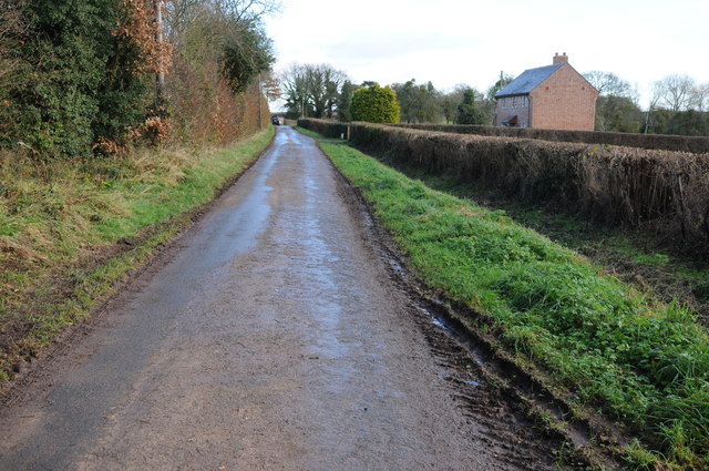
Cornett is a small village located in the county of Herefordshire, in the West Midlands region of England. Situated in the heart of the countryside, Cornett is surrounded by picturesque landscapes and rolling hills, offering residents and visitors a tranquil and idyllic setting.
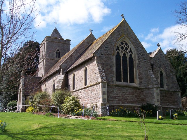
The village itself is characterized by its charming traditional architecture, with many historic buildings dating back to the 17th and 18th centuries. These include a beautiful parish church, quaint cottages, and a village hall that serves as a hub for community events and gatherings.
Despite its small size, Cornett is home to a tight-knit community that takes great pride in preserving the village's heritage and fostering a strong sense of belonging. The villagers often engage in various activities and initiatives to maintain the village's charm and enhance the quality of life for its residents.
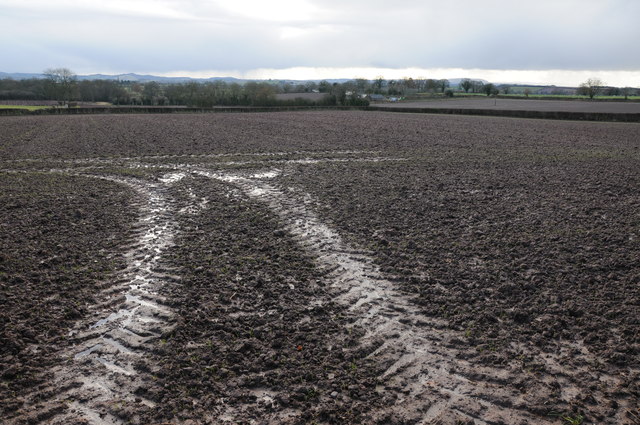
Surrounded by fertile farmland, agriculture plays a significant role in the local economy of Cornett. The village is known for its thriving farming community, with many residents engaged in farming activities such as livestock rearing and crop cultivation.
Cornett benefits from its proximity to the nearby market town of Hereford, which provides convenient access to a range of amenities including shops, schools, healthcare facilities, and leisure activities. Additionally, the village is well-connected to the rest of Herefordshire and the wider region through a network of roads and public transportation.
Overall, Cornett offers a peaceful and scenic retreat for those seeking a rural lifestyle, while still providing easy access to essential services and amenities.
If you have any feedback on the listing, please let us know in the comments section below.
Cornett Images
Images are sourced within 2km of 52.137614/-2.6296893 or Grid Reference SO5749. Thanks to Geograph Open Source API. All images are credited.


Cornett is located at Grid Ref: SO5749 (Lat: 52.137614, Lng: -2.6296893)
Unitary Authority: County of Herefordshire
Police Authority: West Mercia
What 3 Words
///flush.snacking.gentle. Near Ocle Pychard, Herefordshire
Nearby Locations
Related Wikis

Cornett, Herefordshire
Cornett is a hamlet in the English county of Herefordshire. It lies on the main A417 road southeast of the town of Leominster. == External links == Map...
Felton, Herefordshire
Felton is a small village and civil parish in the county of Herefordshire, England, and is 7 miles (11 km) north-east from the city and county town of...
Ullingswick
Ullingswick is a small village in Herefordshire, England located about 6 miles (9.7 km) south west of Bromyard, 9 miles (14 km) north east of Hereford...
Ocle Priory
Ocle Priory was a priory near Ocle Pychard in Herefordshire, England at grid reference SO577464. It was a dependency of Lyre Abbey in Normandy and as such...
Nearby Amenities
Located within 500m of 52.137614,-2.6296893Have you been to Cornett?
Leave your review of Cornett below (or comments, questions and feedback).