Shuker's Coppice
Wood, Forest in Shropshire
England
Shuker's Coppice
Shuker's Coppice is a picturesque woodland located in the county of Shropshire, England. This ancient woodland covers an area of approximately 50 acres and is situated near the town of Bridgnorth. It is owned and managed by the Forestry Commission.
The coppice takes its name from the Shuker family, who were once the owners of the land. The woodland is characterized by a diverse range of tree species, including oak, birch, beech, and ash, which create a vibrant and enchanting atmosphere throughout the year.
Shuker's Coppice is renowned for its rich biodiversity and is home to a wide variety of flora and fauna. The woodland floor is carpeted with bluebells, wood anemones, and wild garlic during the spring months, creating a stunning display of colors. The trees provide shelter for numerous bird species, including the great spotted woodpecker, tawny owl, and various songbirds.
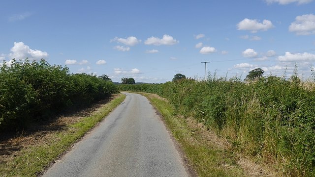
The woodland is crisscrossed with well-maintained footpaths, allowing visitors to explore its beauty at their own pace. These paths lead to hidden glades, tranquil ponds, and panoramic viewpoints, offering visitors the opportunity to immerse themselves in the peacefulness and serenity of nature.
Shuker's Coppice is a popular destination for nature lovers, walkers, and photographers. Its natural beauty and tranquility make it an ideal place for relaxation and contemplation. The woodland is open to the public throughout the year, and visitors are encouraged to respect the environment and leave no trace of their visit.
If you have any feedback on the listing, please let us know in the comments section below.
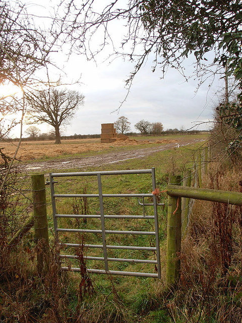
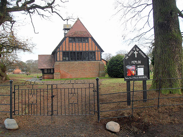
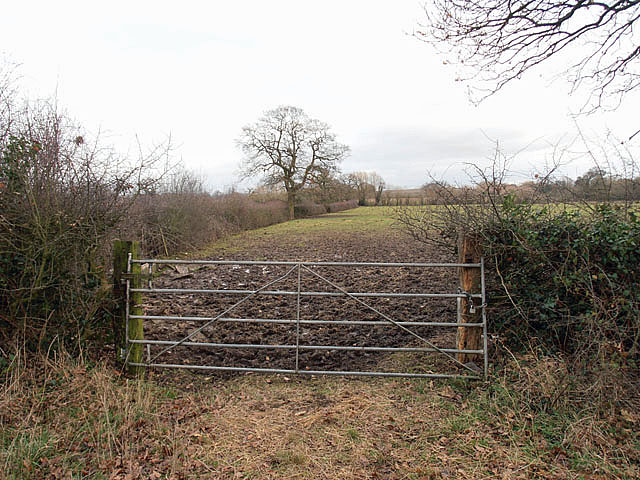
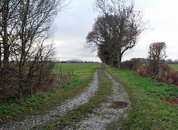
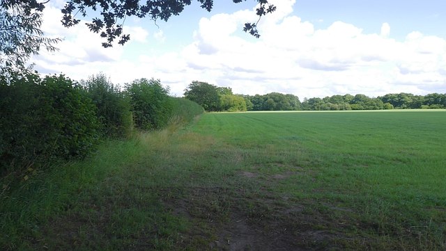
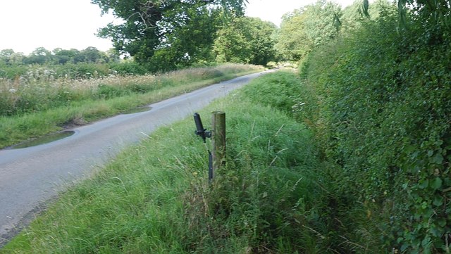
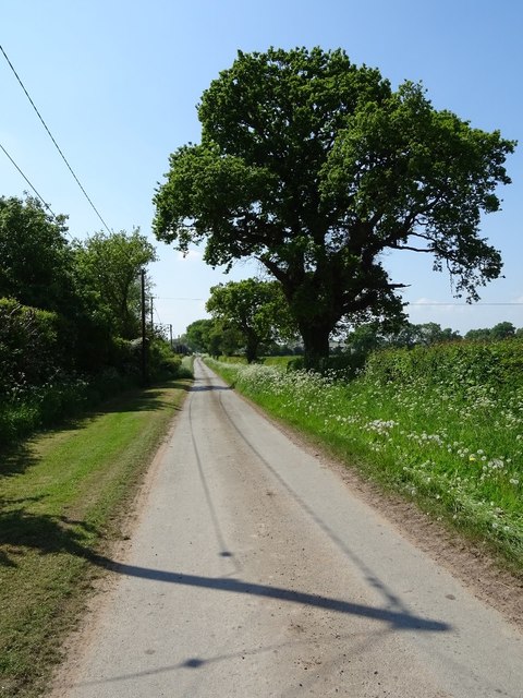
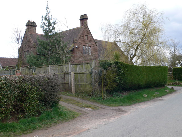
Shuker's Coppice Images
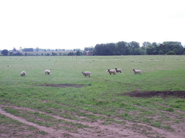
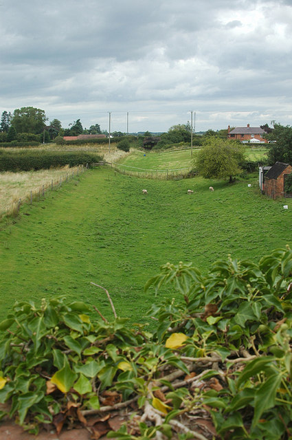
Images are sourced within 2km of 52.813399/-2.5502163 or Grid Reference SJ6324. Thanks to Geograph Open Source API. All images are credited.


Shuker's Coppice is located at Grid Ref: SJ6324 (Lat: 52.813399, Lng: -2.5502163)
Unitary Authority: Shropshire
Police Authority: West Mercia
What 3 Words
///snail.state.printout. Near Stoke upon Tern, Shropshire
Nearby Locations
Related Wikis

Peplow
Peplow is a hamlet in Shropshire, England. It is part of the civil parish of Hodnet, a larger village to the north. The hamlets of Bowling Green and Radmoor...

Peplow railway station
Peplow railway station was a station in Peplow, Shropshire, England. The station was opened in 1867 and closed in 1963. The track has been infilled to...

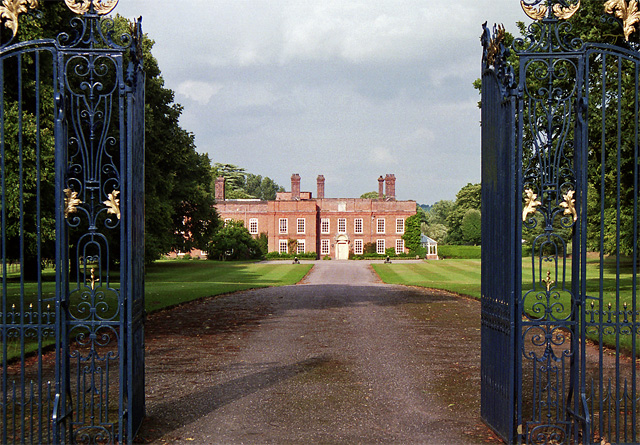
Peplow Hall
Peplow Hall is a privately-owned 11,635 square feet (1,080.9 m2), 18th-century mansion at Peplow, near Hodnet, Shropshire. It is a Grade II* listed building...
Wellington and Drayton Railway
The Wellington and Drayton Railway was a standard gauge line in Central England which carried through freight and local passenger traffic until closure...
Nearby Amenities
Located within 500m of 52.813399,-2.5502163Have you been to Shuker's Coppice?
Leave your review of Shuker's Coppice below (or comments, questions and feedback).