Rush Hill Wood
Wood, Forest in Somerset Mendip
England
Rush Hill Wood

Rush Hill Wood is a beautiful woodland located in Somerset, England. Spanning approximately 100 acres, it is a haven for nature enthusiasts and those seeking a peaceful escape from the hustle and bustle of everyday life. The wood is situated near the village of South Petherton, making it easily accessible for locals and visitors alike.
The wood is predominantly made up of broadleaf trees, including oak, ash, and beech, which create a rich and diverse ecosystem. The dense canopy provides shelter for a variety of wildlife, including deer, badgers, and a plethora of bird species. Nature lovers will delight in the opportunity to spot rare and elusive creatures as they explore the tranquil paths that wind through the wood.
In addition to its natural beauty, Rush Hill Wood also holds historical significance. It is believed to have been part of a medieval hunting forest, with remnants of ancient boundaries and ditches still visible today. The wood has been carefully managed to preserve its historical and ecological value, with ongoing conservation efforts to protect its delicate balance.
Visitors to Rush Hill Wood can enjoy a range of activities, including walking, birdwatching, and photography. There are several well-maintained trails that meander through the wood, providing ample opportunities to immerse oneself in its serene atmosphere. Whether it's a leisurely stroll or a more adventurous hike, Rush Hill Wood offers a truly enchanting experience for nature enthusiasts and history buffs alike.
If you have any feedback on the listing, please let us know in the comments section below.
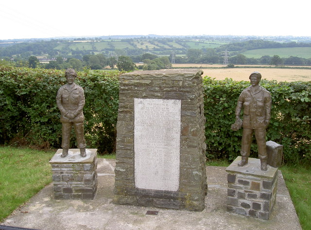
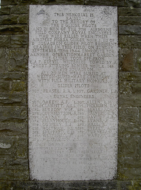
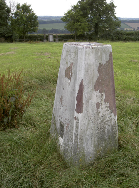
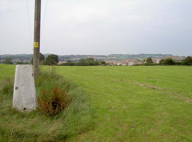
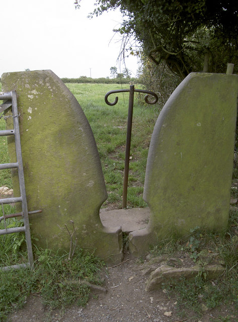
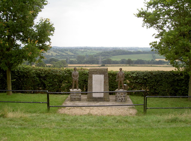
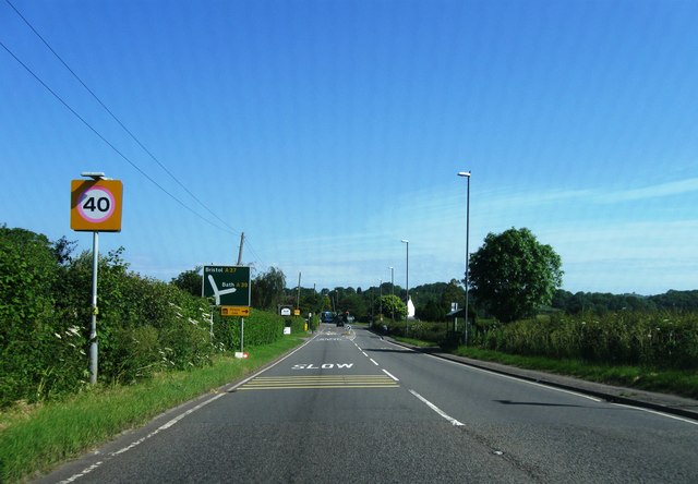
Rush Hill Wood Images
Images are sourced within 2km of 51.292743/-2.5333158 or Grid Reference ST6254. Thanks to Geograph Open Source API. All images are credited.


Rush Hill Wood is located at Grid Ref: ST6254 (Lat: 51.292743, Lng: -2.5333158)
Administrative County: Somerset
District: Mendip
Police Authority: Avon and Somerset
What 3 Words
///boring.majoring.finest. Near Paulton, Somerset
Nearby Locations
Related Wikis
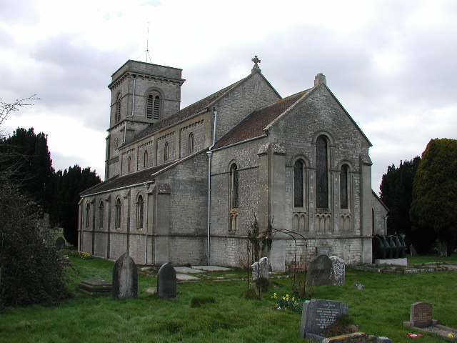
Farrington Gurney
Farrington Gurney is a village and civil parish in Somerset, England located at the foot of the Mendip Hills on the junction of the A37 and A362. It has...
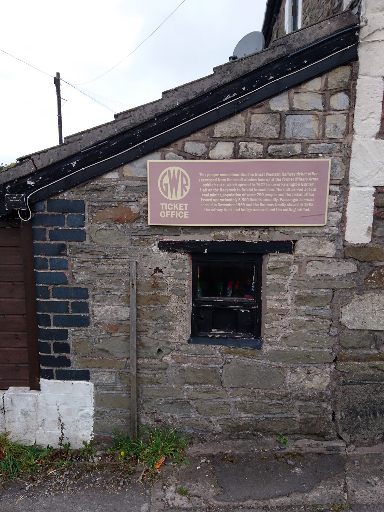
Farrington Gurney Halt railway station
Farrington Gurney Halt railway station served the village of Farrington Gurney, Somerset, England from 1927 to 1959 on the Bristol and North Somerset Railway...
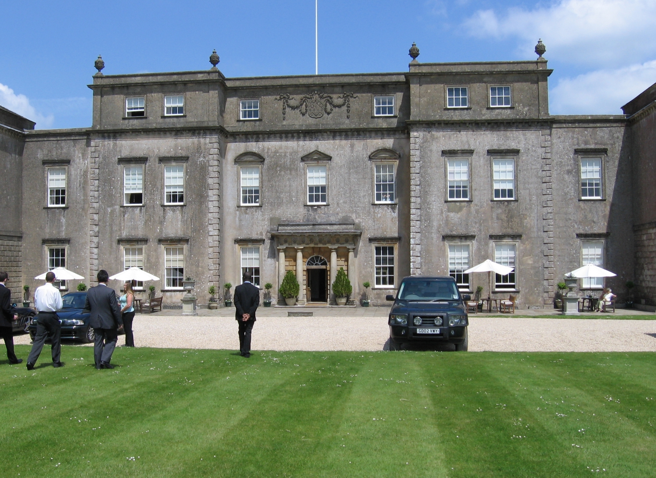
Ston Easton Park
Ston Easton Park is an English country house built in the 18th century. It lies near the village of Ston Easton, Somerset. It is a Grade I listed building...
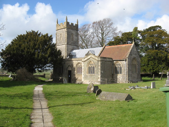
Ston Easton
Ston Easton is a linear village and civil parish in the English county of Somerset. It is 14 miles (23 km) southwest of Bath and 7 miles (11 km) north...
Nearby Amenities
Located within 500m of 51.292743,-2.5333158Have you been to Rush Hill Wood?
Leave your review of Rush Hill Wood below (or comments, questions and feedback).