Ibbidge Coppice

Wood, Forest in Herefordshire

England

Ibbidge Coppice

Stretton Grandison Vicarage & Church Not easy to find anything more quintessentially English than this in the Herefordshire countryside.
Stretton Grandison Vicarage & Church Credit: John Phillips

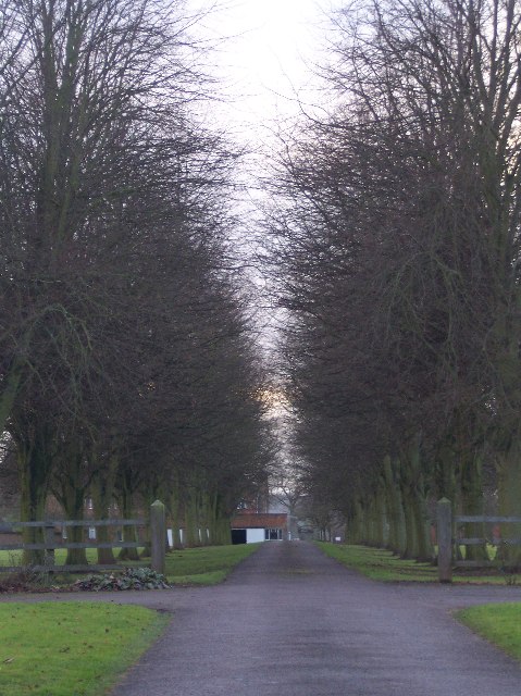
Ibbidge Coppice is a woodland area located in Herefordshire, England. This ancient forest covers approximately 50 acres and is known for its diverse ecosystem and rich biodiversity. The coppice is made up of a mixture of broadleaf trees, including oak, ash, beech, and hazel, providing a habitat for a variety of wildlife species.

The woodland is managed sustainably through traditional coppicing methods, which involves cutting trees at ground level to stimulate new growth. This practice not only helps to maintain the health of the forest but also creates a diverse range of habitats for plants and animals.

Visitors to Ibbidge Coppice can enjoy peaceful walks through the woodland, taking in the sights and sounds of nature. The forest is also popular among birdwatchers, with a variety of bird species calling the area home.

Overall, Ibbidge Coppice is a tranquil and picturesque woodland area that offers a glimpse into the natural beauty of Herefordshire. Its conservation efforts and diverse ecosystem make it a valuable asset to the local community and a haven for wildlife.

If you have any feedback on the listing, please let us know in the comments section below.

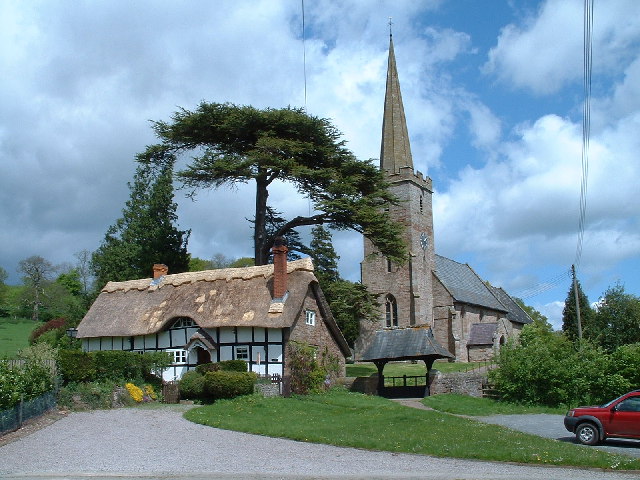
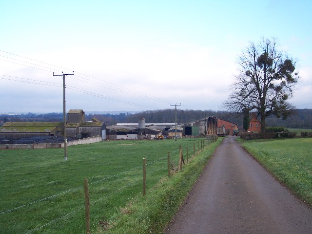
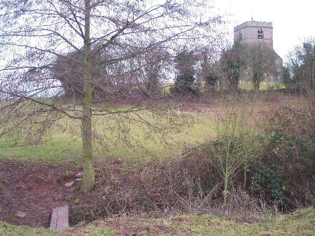
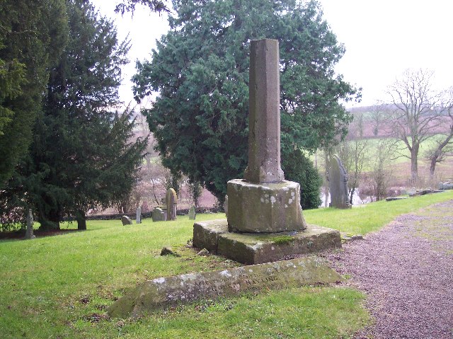
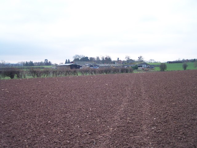
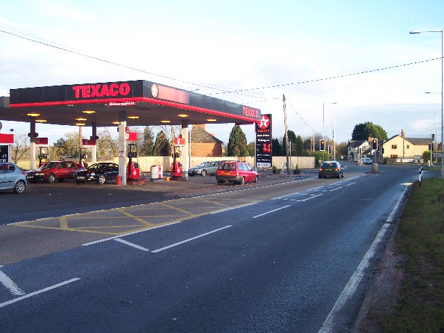
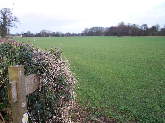
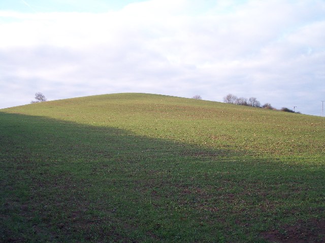
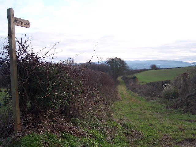
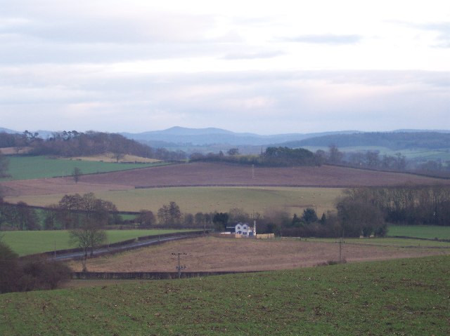
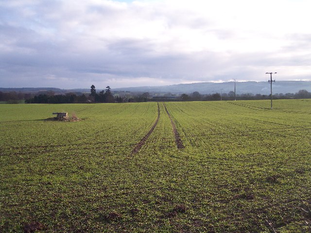
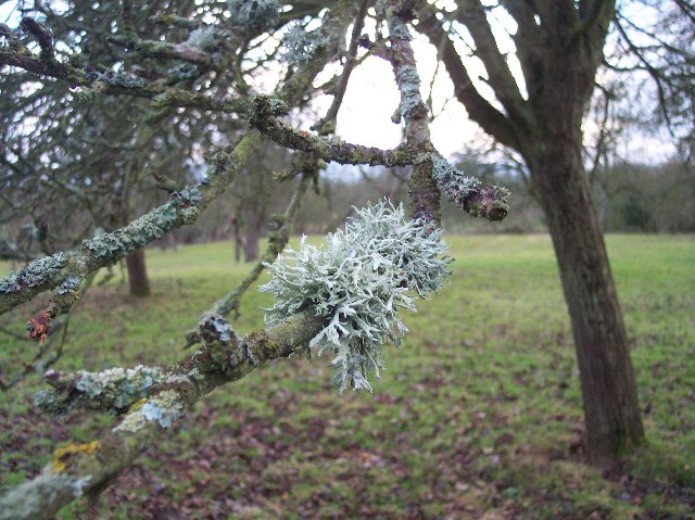
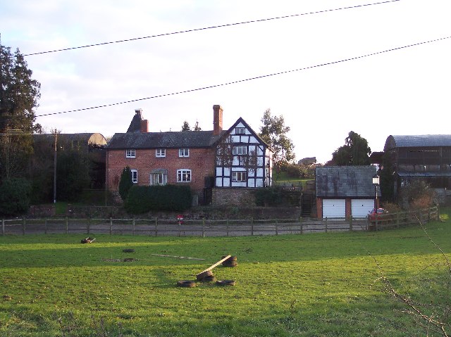
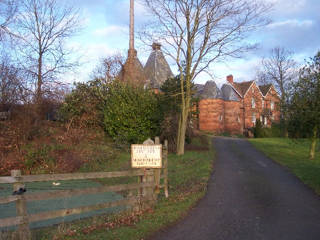
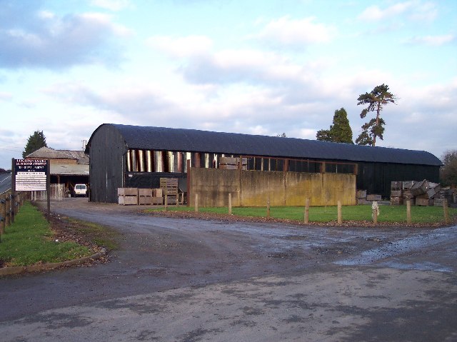
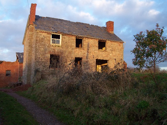
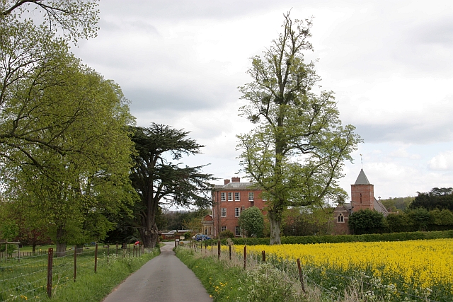
Ibbidge Coppice Images

Images are sourced within 2km of 52.108115/-2.5429933 or Grid Reference SO6245. Thanks to Geograph Open Source API. All images are credited.

Stretton Grandison Vicarage & Church Not easy to find anything more quintessentially English than this in the Herefordshire countryside.
Stretton Grandison Vicarage & Church
Not easy to find anything more quintessentially English than this in the Herefordshire countryside.
Cowarne Court Viewed from the west.
Cowarne Court
Viewed from the west.
Much Cowarne Church Viewed from the west where the footpath crosses the stream. St Mary's is on a small hill, probably a prehistoric fortified mound, and was a popular spot for Sir Edward Elgar in the early 1900s.
Much Cowarne Church
Viewed from the west where the footpath crosses the stream. St Mary's is on a small hill, probably a prehistoric fortified mound, and was a popular spot for Sir Edward Elgar in the early 1900s.
Shaft of Churchyard Cross, Much Cowarne
Three Choirs Way  to Cowarne Court Long distance footpath (joining Hereford, Worcester and Gloucester) ploughed up between Much Cowarne Church and Cowarne Court, but marked by quad bike. For more information see:
tracks. <span class="nowrap"><a title="http://www.walkingpages.co.uk/trails_paths/LDP_threechoirsway.htm" rel="nofollow ugc noopener" href="http://www.walkingpages.co.uk/trails_paths/LDP_threechoirsway.htm">Link</a><img style="margin-left:2px;" alt="External link" title="External link - shift click to open in new window" src="https://s1.geograph.org.uk/img/external.png" width="10" height="10"/></span>
Three Choirs Way to Cowarne Court
Long distance footpath (joining Hereford, Worcester and Gloucester) ploughed up between Much Cowarne Church and Cowarne Court, but marked by quad bike. For more information see: tracks. LinkExternal link
Newtown Crossroads An important crossing for the good part of two thousand years. Here the roman road from Gloucester to Leominster crosses the Hereford to Worcester road. The petrol station, shop with post office and toilet replaces the inn and livery stables of yesteryear.
Newtown Crossroads
An important crossing for the good part of two thousand years. Here the roman road from Gloucester to Leominster crosses the Hereford to Worcester road. The petrol station, shop with post office and toilet replaces the inn and livery stables of yesteryear.
Footpath to Filling Bridge Looking NE from the driveway to Monksbury Court.
Footpath to Filling Bridge
Looking NE from the driveway to Monksbury Court.
Newtown Inn 3D Pub Sign The Gloucester to Leominster road crosses the Hereford to Worcester road (as reflected in the three dimensional pub sign) making this an important trading and servicing location for hundreds if not thousands of years.
Newtown Inn 3D Pub Sign
The Gloucester to Leominster road crosses the Hereford to Worcester road (as reflected in the three dimensional pub sign) making this an important trading and servicing location for hundreds if not thousands of years.
Windmill Hill, Newtown A distinctive hill close to and overlooking the Newtown Crossroads. Viewed from the east from the old road (now bridleway) from Monkhide. With a windmill on top this would have been a distinctive landmark for travellers.
Windmill Hill, Newtown
A distinctive hill close to and overlooking the Newtown Crossroads. Viewed from the east from the old road (now bridleway) from Monkhide. With a windmill on top this would have been a distinctive landmark for travellers.
Old Road from Monkhide Viewed from where it joins the major roads at the Newtown Crossroads. Looking south towards Tarrington.
Old Road from Monkhide
Viewed from where it joins the major roads at the Newtown Crossroads. Looking south towards Tarrington.
View from Windmill Hill Looking SW to filling bridge with the iron age camp on Herefordshire Beacon on the skyline.
View from Windmill Hill
Looking SW to filling bridge with the iron age camp on Herefordshire Beacon on the skyline.
Tractor Tramlines and Site of Windpump Looking SW from the bridleway to Newtown Crossroads.
Tractor Tramlines and Site of Windpump
Looking SW from the bridleway to Newtown Crossroads.
Prunastri Lichen on Apple Tree Taken in an orchard to the north of Grove Farm. 
Lichen is a good indicator of a healthy pollution free countryside.
for help in identification see:
<span class="nowrap"><a title="http://www.earthlife.net/lichens/images/photos/thumbs/thumbs1.html" rel="nofollow ugc noopener" href="http://www.earthlife.net/lichens/images/photos/thumbs/thumbs1.html">Link</a><img style="margin-left:2px;" alt="External link" title="External link - shift click to open in new window" src="https://s1.geograph.org.uk/img/external.png" width="10" height="10"/></span>
Prunastri Lichen on Apple Tree
Taken in an orchard to the north of Grove Farm. Lichen is a good indicator of a healthy pollution free countryside. for help in identification see: LinkExternal link
Avenue to Whitwick Manor Looking SW between two modern houses. 
Whitwick Manor is a Point to Point venue.
Avenue to Whitwick Manor
Looking SW between two modern houses. Whitwick Manor is a Point to Point venue.
Lower Eggleton Court Looking south from the A4103 Hereford to Worcester road.
Lower Eggleton Court
Looking south from the A4103 Hereford to Worcester road.
Upper Eggleton Court Now a Fine Art Gallery
Upper Eggleton Court
Now a Fine Art Gallery
Leighton Court Business Centre Diversification from farm to business units. With at least 5 business units already let.
Leighton Court Business Centre
Diversification from farm to business units. With at least 5 business units already let.
Old Hillend Farm, Much Cowarne Caught in the last rays of sun - undergoing restoration.
Old Hillend Farm, Much Cowarne
Caught in the last rays of sun - undergoing restoration.
Show me another place!

Ibbidge Coppice is located at Grid Ref: SO6245 (Lat: 52.108115, Lng: -2.5429933)

Unitary Authority: County of Herefordshire

Police Authority: West Mercia

What 3 Words

///smudges.noses.tailwind. Near Moreton Jeffries, Herefordshire

Nearby Locations

Green Lane Ibbidge Coppice

Related Wikis

Eggleton, Herefordshire

Eggleton (or Egleton) is a small civil parish in Herefordshire, England. Its main centres of population are Lower Eggleton and Upper Eggleton. The parish...

Much Cowarne

Much Cowarne is a village and civil parish in the English county of Herefordshire, located off the A417 about 16 miles from Hereford and 10 miles from...

Stretton Grandison

Stretton Grandison is a hamlet and small civil parish in Herefordshire, England. The population of the civil parish at the 2011 census was 175.It is on...

Canon Frome

Canon Frome is a hamlet and small rural parish on the River Frome, 5 miles northwest of Ledbury, Herefordshire, England with a population of 139. Its most...

Nearby Amenities

Located within 500m of 52.108115,-2.5429933
Lower Eggleton
Alt Name: Lower Egleton
Place: hamlet
Lat/Long: 52.1041376/-2.5425282
Power: pole
Lat/Long: 52.1041231/-2.5405031
Stone House Lower Egleton
Power: pole
Transformer: distribution
Voltage Primary: 11000
Lat/Long: 52.1043096/-2.5407382
Barrier: stile
Lat/Long: 52.1076928/-2.5486542
Barrier: stile
Lat/Long: 52.1077435/-2.5486965
The data included in this document is from www.openstreetmap.org. The data is made available under ODbL.

Have you been to Ibbidge Coppice?

Leave your review of Ibbidge Coppice below (or comments, questions and feedback).