Cornbank

Settlement in Midlothian

Scotland

Cornbank

River North Esk at Valleyfield, Penicuik Looking upstream where the river bends on its way alongside the housing development at Valleyfield, a former mill site.
River North Esk at Valleyfield, Penicuik Credit: Jim Barton

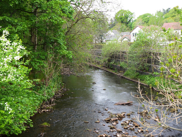
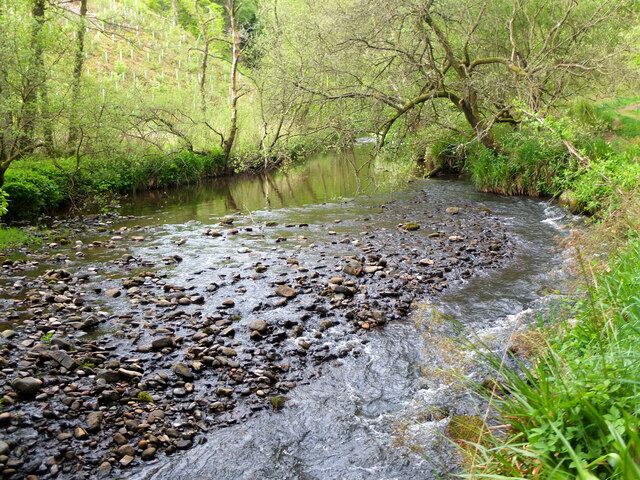
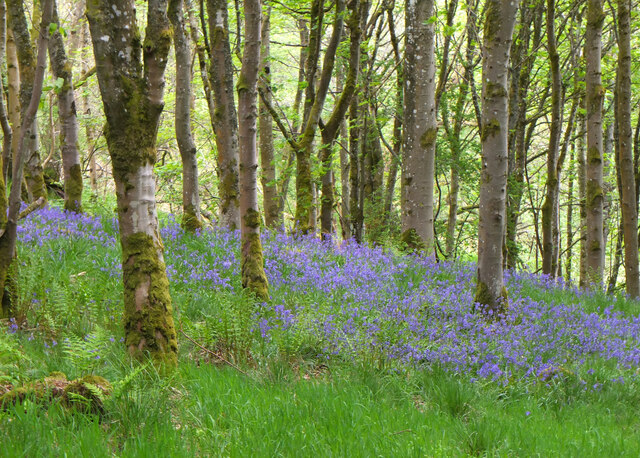
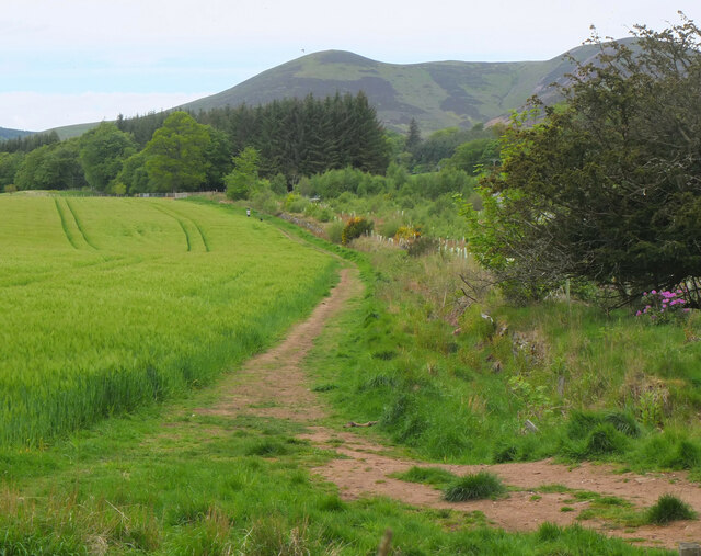
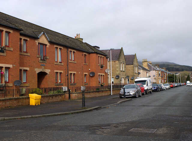
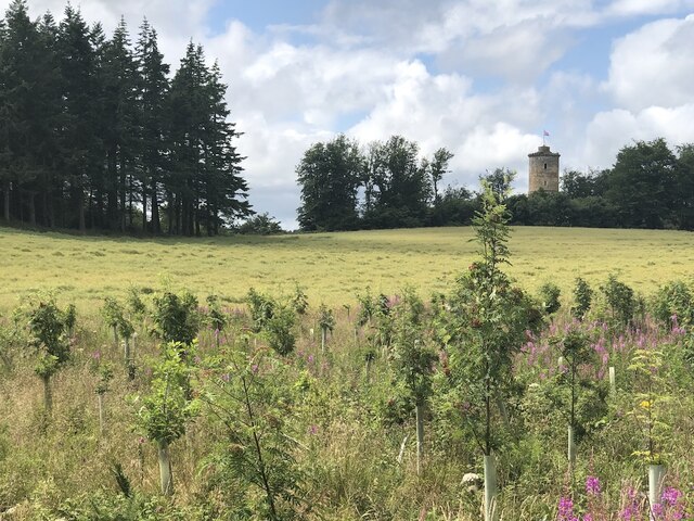
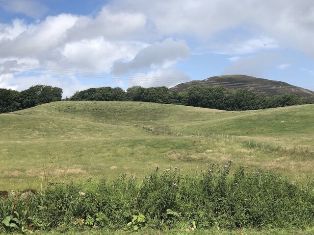
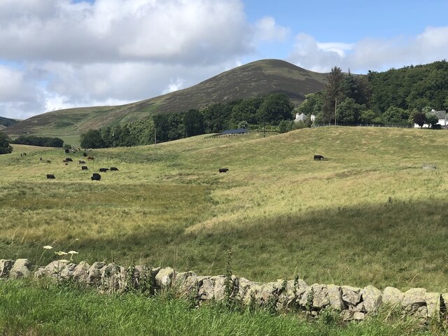
Cornbank is a small village located in the Midlothian region of Scotland. Situated about 12 miles southeast of Edinburgh, it falls within the civil parish of Dalkeith. The village is nestled in a picturesque rural setting, surrounded by rolling hills and farmland.

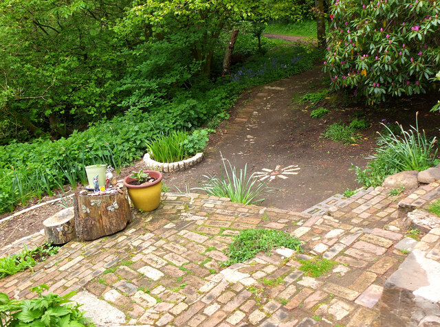
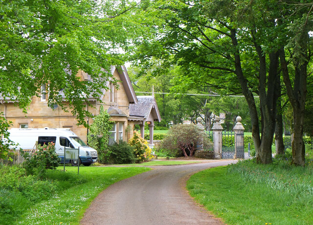
Historically, Cornbank was primarily an agricultural community, with farming being the main source of livelihood for its residents. Today, although farming activities still exist in the area, the village has seen some residential development, attracting people who appreciate its peaceful atmosphere and proximity to the city.

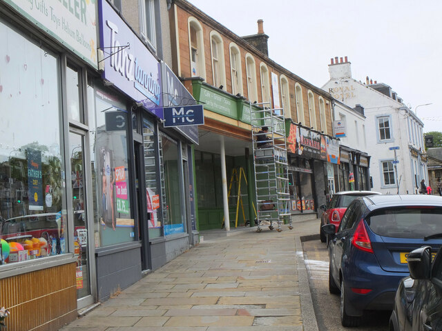
Despite its small size, Cornbank offers a few essential amenities to its residents. There is a local convenience store that provides basic grocery items, ensuring that the villagers have easy access to daily necessities. Additionally, there is a primary school in the village, which caters to the educational needs of the local children.

Cornbank benefits from its strategic location, as it is well-connected to nearby towns and cities. The A68 road runs close to the village, providing easy access for commuters traveling to Edinburgh or other parts of Midlothian. Public transportation options are also available, with regular bus services connecting Cornbank to neighboring areas.

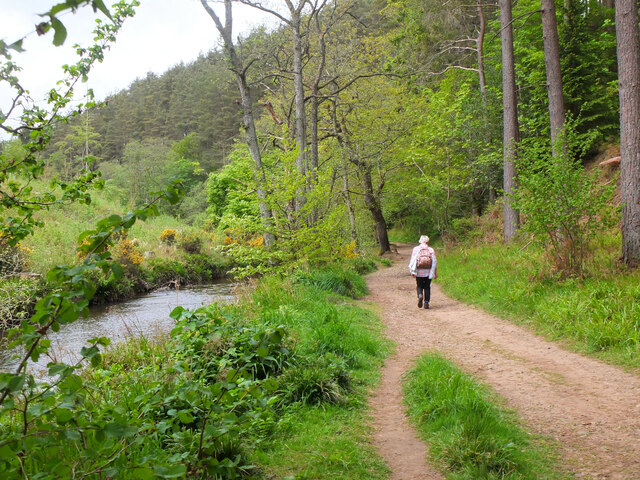
For those seeking recreational activities, the beautiful countryside surrounding Cornbank offers ample opportunities for outdoor pursuits such as hiking, cycling, and nature walks. The village's proximity to Dalkeith Country Park further adds to the recreational options available to residents.

Overall, Cornbank is a tranquil village that combines rural charm with the convenience of nearby urban centers. Its idyllic location, essential amenities, and connectivity make it an attractive place to live for those seeking a peaceful countryside lifestyle within reach of city amenities.

If you have any feedback on the listing, please let us know in the comments section below.
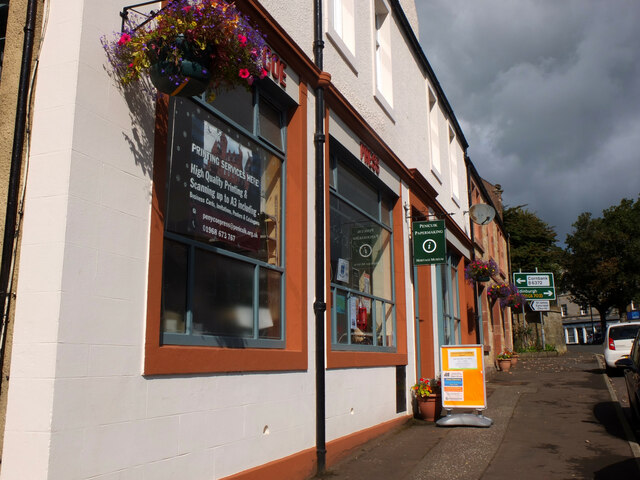
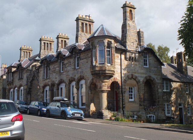
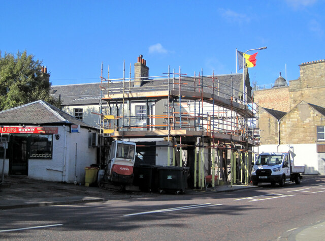
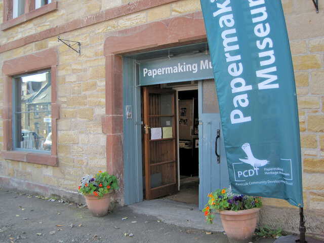
Cornbank Images

Images are sourced within 2km of 55.833616/-3.238568 or Grid Reference NT2260. Thanks to Geograph Open Source API. All images are credited.

River North Esk at Valleyfield, Penicuik Looking upstream where the river bends on its way alongside the housing development at Valleyfield, a former mill site.
River North Esk at Valleyfield, Penicuik
Looking upstream where the river bends on its way alongside the housing development at Valleyfield, a former mill site.
Decorated space, path to Penicuik Estate Brick steps and plant pots on the path by the North Esk from the A701 to Penicuik Estate grounds.
Decorated space, path to Penicuik Estate
Brick steps and plant pots on the path by the North Esk from the A701 to Penicuik Estate grounds.
Path by the North Esk, Penicuik A path on the north side of the river to the surroundings of Penicuik House.
Path by the North Esk, Penicuik
A path on the north side of the river to the surroundings of Penicuik House.
River North Esk near Penicuik The North Esk rises in the Pentland Hills above Carlops. It joins the South Esk, which starts life in the Lammermuir Hills, at Dalkeith.
River North Esk near Penicuik
The North Esk rises in the Pentland Hills above Carlops. It joins the South Esk, which starts life in the Lammermuir Hills, at Dalkeith.
Bluebells in Serpentine Wood, Penicuik
Farmland on Penicuik Estate South Black Hill is in the background.
Farmland on Penicuik Estate
South Black Hill is in the background.
Spear Gate Lodge, Penicuik Estate A lodge house where one of the estate access roads meets the A766.
Spear Gate Lodge, Penicuik Estate
A lodge house where one of the estate access roads meets the A766.
Shopfront refurbishment, Penicuik High Street The Penicuik Storehouse undergoing renovation as part of a programme to improve the appearance of shops in the town.
Shopfront refurbishment, Penicuik High Street
The Penicuik Storehouse undergoing renovation as part of a programme to improve the appearance of shops in the town.
Vaucluse Place, Penicuik A block of flats in Jackson Street.
Vaucluse Place, Penicuik
A block of flats in Jackson Street.
Field, Penicuik Estate The roadside conifers are long gone allowing a view of the folly.
Field, Penicuik Estate
The roadside conifers are long gone allowing a view of the folly.
Hummocky ground near Penicuik Glacial deposition beside the Pentland Hills.
Hummocky ground near Penicuik
Glacial deposition beside the Pentland Hills.
Pasture near Carsewell Beneath the Pentland Hills.
Pasture near Carsewell
Beneath the Pentland Hills.
Pen-y-Coe Press, Penicuik A long-established stationery and printing shop with an adjoining museum of papermaking in Bridge Street. In the early 19th century Penicuik became an important centre for papermaking, with mills along the River North Esk.
Pen-y-Coe Press, Penicuik
A long-established stationery and printing shop with an adjoining museum of papermaking in Bridge Street. In the early 19th century Penicuik became an important centre for papermaking, with mills along the River North Esk.
Parkend, Penicuik A striking corner terrace by the architect Thomas Pilkington c. 1860. He also designed the nearby Penicuik South Kirk and terraced cottages in the mill village of Walkerburn - see <a href="https://www.geograph.org.uk/photo/2231809">NT3537 : Millworkers' cottages, Walkerburn</a>.
Parkend, Penicuik
A striking corner terrace by the architect Thomas Pilkington c. 1860. He also designed the nearby Penicuik South Kirk and terraced cottages in the mill village of Walkerburn - see NT3537 : Millworkers' cottages, Walkerburn.
Demolition and rebuilding, Penicuik Old premises on Bridge Street are being demolished and construction appears to be the next step. The flag is flying from the Belgian Consulate on the corner with West Street - see also <a href="https://www.geograph.org.uk/photo/3332421">NT2359 : Belgian Consulate, Penicuik</a>.
Demolition and rebuilding, Penicuik
Old premises on Bridge Street are being demolished and construction appears to be the next step. The flag is flying from the Belgian Consulate on the corner with West Street - see also NT2359 : Belgian Consulate, Penicuik.
Papermaking Museum, Penicuik The museum is next door to the Pen-y-Coe Press on Bridge Street.  It is currently open on Saturday afternoons or at other times by arrangement for groups and entry is free. See the museum's website at <span class="nowrap"><a title="https://penicuikcdt.co.uk/index.php/penicuik-papermaking-heritage-museum/" rel="nofollow ugc noopener" href="https://penicuikcdt.co.uk/index.php/penicuik-papermaking-heritage-museum/">Link</a><img style="margin-left:2px;" alt="External link" title="External link - shift click to open in new window" src="https://s1.geograph.org.uk/img/external.png" width="10" height="10"/></span>.
Papermaking Museum, Penicuik
The museum is next door to the Pen-y-Coe Press on Bridge Street. It is currently open on Saturday afternoons or at other times by arrangement for groups and entry is free. See the museum's website at LinkExternal link.
Making paper by hand (1) Visitors to the Papermaking Museum at Penicuik have a chance to help make a sheet of paper. Pulp is caught on a rectangular mesh and carefully removed and transferred to the screw press to squeeze out the excess water.
Making paper by hand (1)
Visitors to the Papermaking Museum at Penicuik have a chance to help make a sheet of paper. Pulp is caught on a rectangular mesh and carefully removed and transferred to the screw press to squeeze out the excess water.
Making paper by hand (2) The process of making a sheet of paper from pulp being demonstrated at the Papermaking Museum, Penicuik. The sheet is being separated from its carrying cloth and is ready for drying.
Making paper by hand (2)
The process of making a sheet of paper from pulp being demonstrated at the Papermaking Museum, Penicuik. The sheet is being separated from its carrying cloth and is ready for drying.
Show me another place!

Cornbank is located at Grid Ref: NT2260 (Lat: 55.833616, Lng: -3.238568)

Unitary Authority: Midlothian

Police Authority: The Lothians and Scottish Borders

What 3 Words

///healthier.stammer.outbound. Near Penicuik, Midlothian

Nearby Locations

Cornbank

Related Wikis

Penicuik Athletic F.C.

Penicuik Athletic Football Club are a Scottish football club. They were formed in 1888 and are based at Montgomery Park (formerly known as Penicuik Park...

Mauricewood Colliery disaster

The Mauricewood Colliery Disaster, occurred at the Mauricewood pit, near Penicuik, Midlothian, Scotland on 5 September 1889. A total of 63 miners were...

Penicuik Town Hall

Penicuik Town Hall, formerly the Cowan Institute, is a municipal building in the High Street, Penicuik, Midlothian, Scotland. The structure, which was...

Penicuik

Penicuik ( PEN-i-kuuk; Scots: Penicuik; Scottish Gaelic: Peighinn na Cuthaig) is a town and former burgh in Midlothian, Scotland, lying on the west bank...

Nearby Amenities

Located within 500m of 55.833616,-3.238568
Traffic Calming: cushion
Lat/Long: 55.8301358/-3.2391456
Traffic Calming: cushion
Lat/Long: 55.8297072/-3.2396767
Post Box
Ref: EH26 75
Lat/Long: 55.8341663/-3.2373921
Give Way
Lat/Long: 55.8347581/-3.2380888
Traffic Calming: cushion
Lat/Long: 55.8350338/-3.2359041
Bus Stop
Silverburn Drive
Bus: yes
Naptan AdministrativeAreaCode: 130
Naptan Area Name: Midlothian
Naptan AtcoAreaCode: 628
Naptan AtcoCode: 6280325250
Naptan Bearing: NE
Naptan CommonName: Silverburn Drive
Naptan Indicator: at
Naptan Landmark: At Silverburn Drive
Naptan LocalityName: Deanburn
Naptan NaptanCode: 64324286
Naptan NptgLocalityCode: N0071917
Naptan SourceLocalityType: Add
Naptan StopAreaCode: 628G325250
Naptan StopAreaType: GPBS
Naptan StopArea Name: Silverburn Drive
Naptan Street: Rullion Road
Naptan Verified: yes
Public Transport: platform
Source: NaPTAN + Survey
Lat/Long: 55.8337971/-3.238268
Bus Stop
Silverburn Drive
Bus: yes
Naptan AdministrativeAreaCode: 130
Naptan Area Name: Midlothian
Naptan AtcoAreaCode: 628
Naptan AtcoCode: 6280302395
Naptan Bearing: SW
Naptan CommonName: Silverburn Drive
Naptan Indicator: opp
Naptan Landmark: opp Silverburn Drive
Naptan LocalityName: Deanburn
Naptan NaptanCode: 64324285
Naptan NptgLocalityCode: N0071917
Naptan SourceLocalityType: Add
Naptan StopAreaCode: 628G325250
Naptan StopAreaType: GPBS
Naptan StopArea Name: Silverburn Drive
Naptan Street: Rullion Road
Naptan Verified: yes
Public Transport: platform
Shelter: yes
Source: NaPTAN + Survey
Stop Code: 64324285
Lat/Long: 55.8337665/-3.2379777
Bus Stop
Laverock Drive
Bus: yes
Naptan AdministrativeAreaCode: 130
Naptan Area Name: Midlothian
Naptan AtcoAreaCode: 628
Naptan AtcoCode: 6280325270
Naptan Bearing: NE
Naptan CommonName: Laverlock Drive
Naptan Indicator: opp
Naptan Landmark: -
Naptan LocalityName: Deanburn
Naptan NaptanCode: 64324345
Naptan NptgLocalityCode: N0071917
Naptan SourceLocalityType: Add
Naptan StopAreaCode: 628G302390
Naptan StopAreaType: GPBS
Naptan StopArea Name: Laverlock Drive
Naptan Street: Rullion Road
Naptan Verified: yes
Note: NaPTAN Common Name and Stop Area Name need correcting
Public Transport: platform
Source: NaPTAN
Lat/Long: 55.8363717/-3.2354294
Bus Stop
Laverock Drive
Bus: yes
Naptan AdministrativeAreaCode: 130
Naptan Area Name: Midlothian
Naptan AtcoAreaCode: 628
Naptan AtcoCode: 6280302390
Naptan Bearing: SW
Naptan CommonName: Laverlock Drive
Naptan Indicator: at
Naptan Landmark: -
Naptan LocalityName: Deanburn
Naptan NaptanCode: 64324343
Naptan NptgLocalityCode: N0071917
Naptan SourceLocalityType: Add
Naptan StopAreaCode: 628G302390
Naptan StopAreaType: GPBS
Naptan StopArea Name: Laverlock Drive
Naptan Street: Rullion Road
Naptan Verified: yes
Note: NaPTAN Common Name and Stop Area Name need correcting
Public Transport: platform
Shelter: yes
Source: NaPTAN + Survey
Lat/Long: 55.8366526/-3.2346608
Crossing: unmarked
Lat/Long: 55.8307745/-3.2383435
Kindergarten
The Penicuik Nursery
Lat/Long: 55.8311344/-3.2354665
Give Way
Lat/Long: 55.8339881/-3.2392725
Bus Stop
Monksrig Road
Bus: yes
Naptan AdministrativeAreaCode: 130
Naptan Area Name: Midlothian
Naptan AtcoAreaCode: 628
Naptan AtcoCode: 6280302410
Naptan Bearing: NE
Naptan CommonName: Monksrig Road
Naptan Indicator: opp
Naptan Landmark: -
Naptan LocalityName: Deanburn
Naptan NaptanCode: 64324348
Naptan NptgLocalityCode: N0071917
Naptan SourceLocalityType: Add
Naptan Street: Rullion Road
Naptan Verified: yes
Public Transport: platform
Source: NaPTAN + Survey
Lat/Long: 55.8312417/-3.2443622
Give Way
Lat/Long: 55.8292995/-3.2402056
The Fitness Academy
Addr Housenumber: 54-56
Addr Postcode: EH26 9EY
Addr Street: Clerk Road
Fhrs Id: 1025997
Leisure: sports_centre
Source Addr: FHRS Open Data
Sport: fitness
Lat/Long: 55.8311793/-3.2357661
Bus Stop
Gardeners Walk
Bus: yes
Naptan AdministrativeAreaCode: 130
Naptan Area Name: Midlothian
Naptan AtcoAreaCode: 628
Naptan AtcoCode: 6280302415
Naptan Bearing: NE
Naptan CommonName: Gardeners Walk
Naptan Indicator: opp
Naptan Landmark: -
Naptan LocalityName: Deanburn
Naptan NaptanCode: 64324297
Naptan NptgLocalityCode: N0071917
Naptan SourceLocalityType: Add
Naptan StopAreaCode: 628G302400
Naptan StopAreaType: GPBS
Naptan StopArea Name: Gardeners Walk
Naptan Street: Rullion Road
Naptan Verified: yes
Public Transport: platform
Source: NaPTAN + Survey
Lat/Long: 55.832924/-3.2409702
Bus Stop
Gardeners Walk
Bus: yes
Naptan AdministrativeAreaCode: 130
Naptan Area Name: Midlothian
Naptan AtcoAreaCode: 628
Naptan AtcoCode: 6280302400
Naptan Bearing: SW
Naptan CommonName: Gardeners Walk
Naptan Indicator: at
Naptan Landmark: -
Naptan LocalityName: Deanburn
Naptan NaptanCode: 64324296
Naptan NptgLocalityCode: N0071917
Naptan SourceLocalityType: Add
Naptan StopAreaCode: 628G302400
Naptan StopAreaType: GPBS
Naptan StopArea Name: Gardeners Walk
Naptan Street: Rullion Road
Naptan Verified: yes
Public Transport: platform
Shelter: yes
Source: NaPTAN + Survey
Lat/Long: 55.8328886/-3.2405888
Give Way
Lat/Long: 55.835161/-3.2357781
Give Way
Lat/Long: 55.8363359/-3.2352054
Traffic Calming: choker
Lat/Long: 55.8368879/-3.233348
Traffic Calming: choker
Lat/Long: 55.8365182/-3.2335264
Give Way
Lat/Long: 55.8369136/-3.2342424
Traffic Calming: hump
Lat/Long: 55.8336935/-3.2334478
Traffic Calming: hump
Lat/Long: 55.8341076/-3.2327057
Traffic Calming: hump
Lat/Long: 55.8342565/-3.2319814
Give Way
Lat/Long: 55.8295159/-3.2402051
Give Way
Lat/Long: 55.8299758/-3.2413114
Give Way
Lat/Long: 55.8298901/-3.2407964
Traffic Calming: cushion
Lat/Long: 55.8309276/-3.239701
Traffic Calming: cushion
Lat/Long: 55.830604/-3.2388868
Give Way
Lat/Long: 55.8305351/-3.2387132
Give Way
Lat/Long: 55.8322109/-3.242446
Give Way
Lat/Long: 55.8317654/-3.2431934
Give Way
Lat/Long: 55.831309/-3.2439365
Give Way
Lat/Long: 55.8360453/-3.2357444
Give Way
Lat/Long: 55.834422/-3.2369157
Give Way
Lat/Long: 55.834118/-3.2372236
Traffic Calming: cushion
Lat/Long: 55.8329098/-3.2398029
Give Way
Lat/Long: 55.833074/-3.2399452
Give Way
Lat/Long: 55.8332304/-3.2357688
Give Way
Lat/Long: 55.8337661/-3.2365059
Traffic Calming: cushion
Lat/Long: 55.832769/-3.2373955
Traffic Calming: cushion
Lat/Long: 55.8329973/-3.2382436
Traffic Calming: cushion
Lat/Long: 55.832699/-3.2391563
Give Way
Lat/Long: 55.8329694/-3.2407764
Traffic Calming: hump
Lat/Long: 55.8342761/-3.2370709
Give Way
Lat/Long: 55.8336142/-3.2385892
The data included in this document is from www.openstreetmap.org. The data is made available under ODbL.

Have you been to Cornbank?

Leave your review of Cornbank below (or comments, questions and feedback).