Cornard Tye
Settlement in Suffolk Babergh
England
Cornard Tye
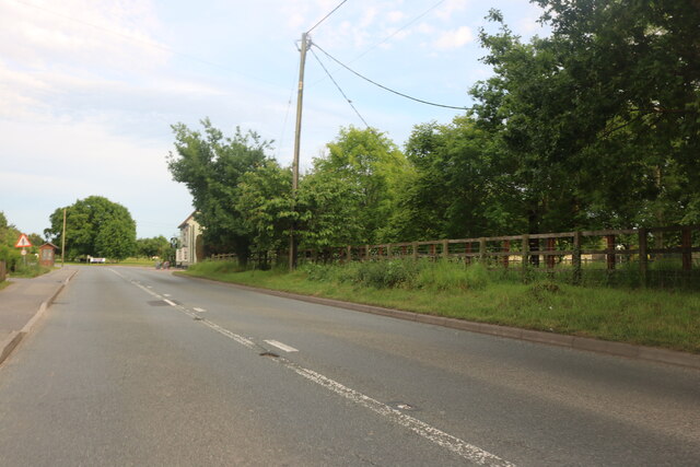
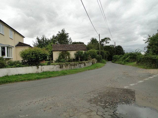
Cornard Tye is a small village located in the county of Suffolk, England. Situated approximately 3 miles south of the market town of Sudbury, Cornard Tye is known for its idyllic rural setting and picturesque landscapes.
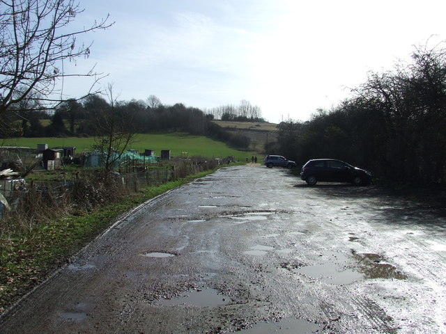
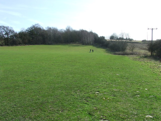
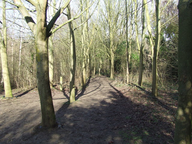
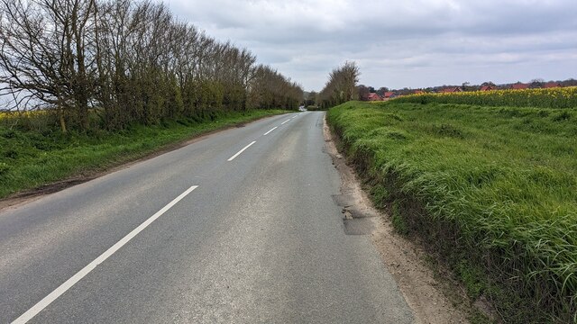
The village is nestled amidst rolling green fields and is surrounded by a patchwork of farmlands, giving it a quintessentially English countryside charm. The River Stour, one of Suffolk's most prominent rivers, flows nearby, adding to the area's natural beauty.
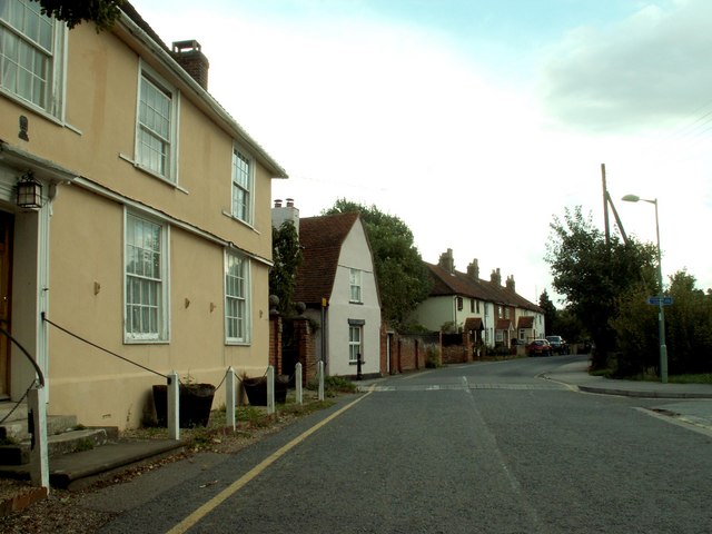
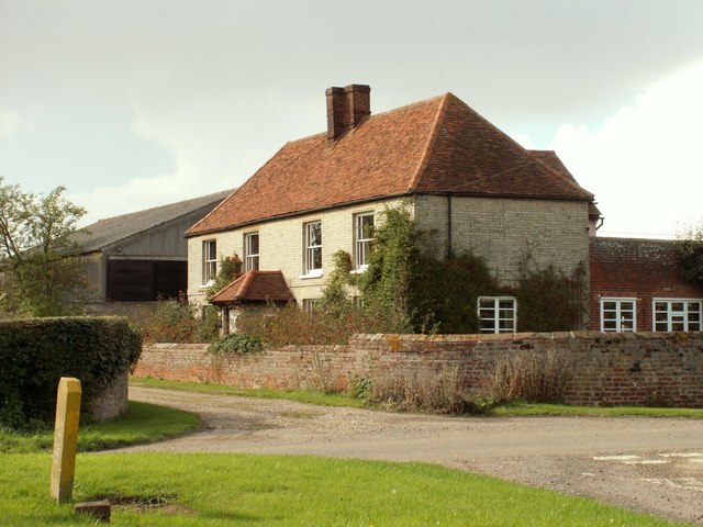
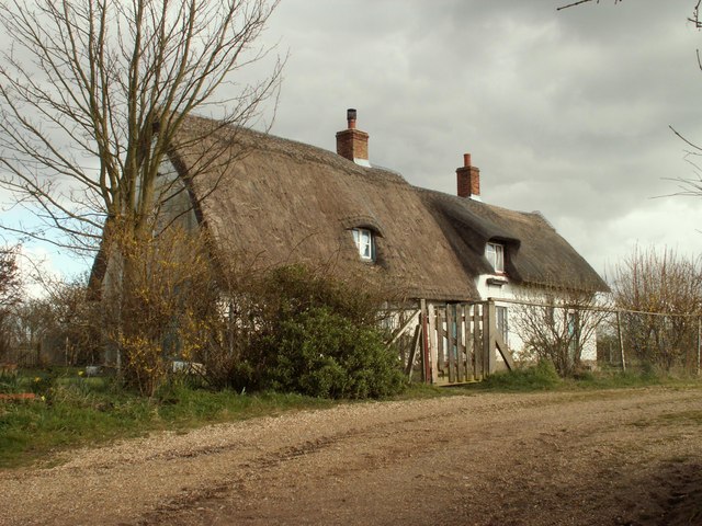
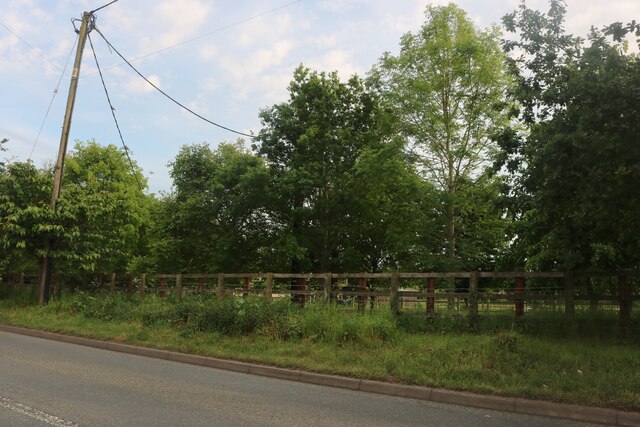
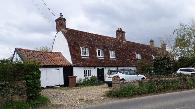
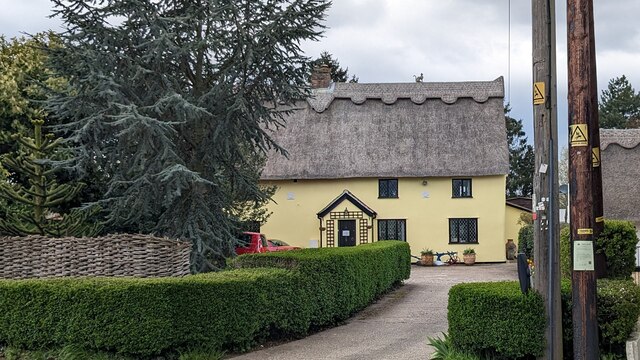
Cornard Tye is home to a close-knit community, with a population of around 500 residents. The village boasts a mix of historic and modern homes, with some dating back several centuries. The architectural style of the village is predominantly traditional, showcasing beautiful thatched cottages, timber-framed houses, and charming country gardens.
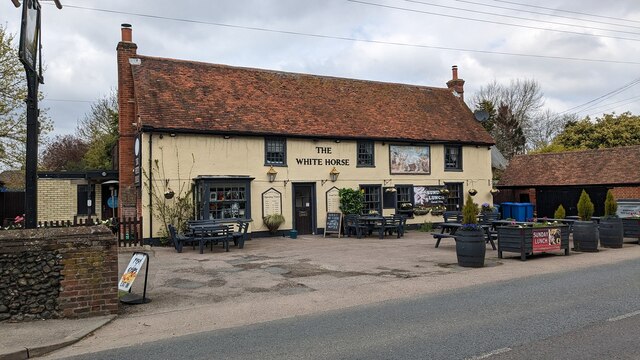
Despite its small size, Cornard Tye offers a range of amenities to its residents. The village has a primary school, a community center, and a local pub, providing a focal point for social gatherings. The surrounding countryside offers ample opportunities for outdoor activities such as walking, cycling, and horse riding.
The village benefits from its close proximity to Sudbury, which provides additional amenities including shops, supermarkets, and healthcare facilities. Sudbury also offers excellent transport links, with regular train services to London and other major cities.
Overall, Cornard Tye is a picturesque and tranquil village that appeals to those seeking a peaceful rural lifestyle, while still being within reach of larger towns and cities.
If you have any feedback on the listing, please let us know in the comments section below.
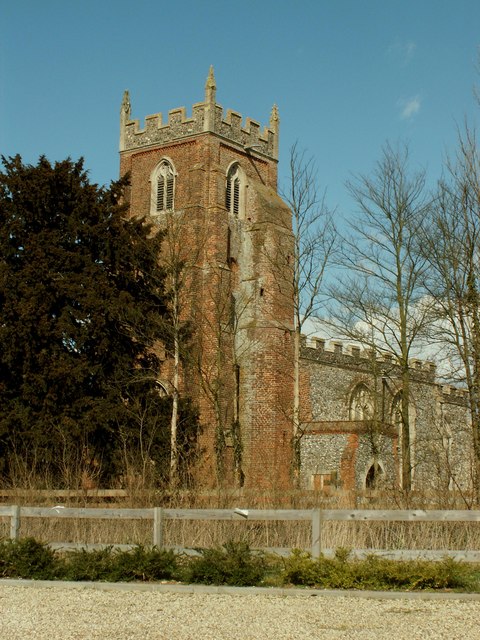
Cornard Tye Images
Images are sourced within 2km of 52.036639/0.770755 or Grid Reference TL9041. Thanks to Geograph Open Source API. All images are credited.


Cornard Tye is located at Grid Ref: TL9041 (Lat: 52.036639, Lng: 0.770755)
Administrative County: Suffolk
District: Babergh
Police Authority: Suffolk
What 3 Words
///presented.cushy.tumble. Near Great Waldingfield, Suffolk
Nearby Locations
Related Wikis

Abbas Hall
Abbas Hall is a small country house in Great Cornard, a village located near the town of Sudbury, Suffolk in England, the Elizabethan exterior of which...
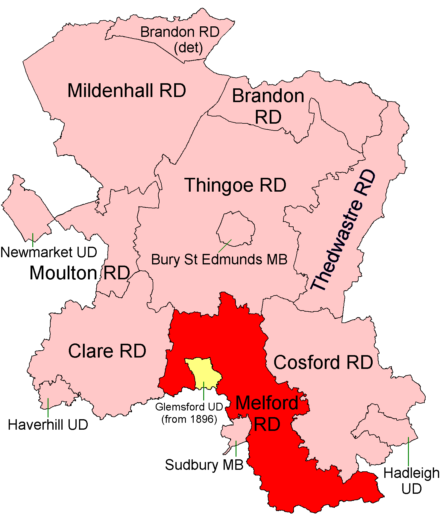
Melford Rural District
Melford Rural District was a rural district in the county of West Suffolk, England. It was created in 1894, under the Local Government Act 1894 from that...
Newton, Suffolk
Newton, also known as Newton Green to distinguish it from Nowton near Bury St Edmunds, and Old Newton near Stowmarket, is a small village and civil parish...

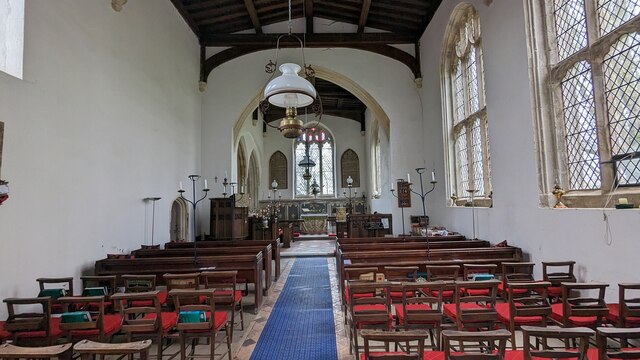
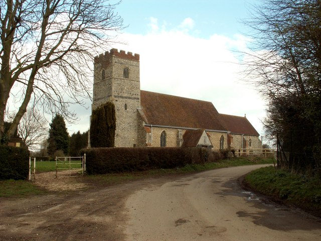
St Mary's Church, Chilton
St Mary's Church is a redundant Church of England parish church in the civil parish of Chilton, Suffolk, England. It is a Grade I listed building, and...
Chilton, Suffolk
Chilton is a civil parish on the eastern outskirts of Sudbury in Suffolk, England. Once a normal village, Chilton today consists of scattered clusters...
All Saints Church, Newton Green
All Saints Church is a partly redundant Anglican church in the village of Newton Green, Suffolk, England. It is recorded in the National Heritage List...

Chilton Hall
Chilton Hall is a Grade II* listed building in Chilton, Suffolk, England. The current building replaced an important moated medieval house.Of the original...

Great Cornard
Great Cornard is a large village and civil parish that is part of the town of Sudbury, in the Babergh district, in the county of Suffolk, England. ��2...
Nearby Amenities
Located within 500m of 52.036639,0.770755Have you been to Cornard Tye?
Leave your review of Cornard Tye below (or comments, questions and feedback).