Bradley Wood
Wood, Forest in Lancashire Chorley
England
Bradley Wood

Bradley Wood is a picturesque area located in Lancashire, England. Situated in the heart of the Forest of Bowland, it covers an expansive area of lush woodlands and scenic landscapes. The forest is named after the nearby village of Wood, which is known for its rich history and natural beauty.
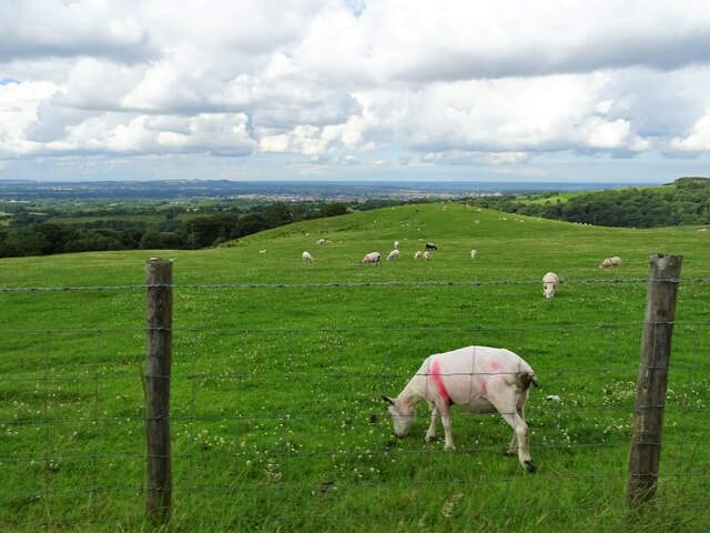
The wood is a haven for nature enthusiasts and outdoor adventurers, offering a wide range of recreational activities. Hiking trails crisscross the area, allowing visitors to explore the forest's diverse flora and fauna. The wood is home to an array of wildlife, including deer, owls, and squirrels, making it an ideal spot for birdwatching and wildlife photography.
One of the notable features of Bradley Wood is its ancient trees, some of which are believed to be hundreds of years old. These majestic giants add to the area's charm and provide a serene and tranquil atmosphere. Visitors can also find picnic areas and designated camping spots, allowing them to fully immerse themselves in the natural beauty of the wood.
In addition to its natural wonders, Bradley Wood offers historical attractions. The nearby village of Wood boasts a well-preserved medieval church, which is a popular spot for history enthusiasts. The area also has a strong agricultural heritage, with nearby farms showcasing traditional farming methods and providing opportunities for visitors to learn about rural life.
Overall, Bradley Wood in Lancashire is a true gem for nature lovers, history buffs, and those seeking a peaceful retreat. Its breathtaking landscapes, abundant wildlife, and rich cultural heritage make it a must-visit destination in the region.
If you have any feedback on the listing, please let us know in the comments section below.
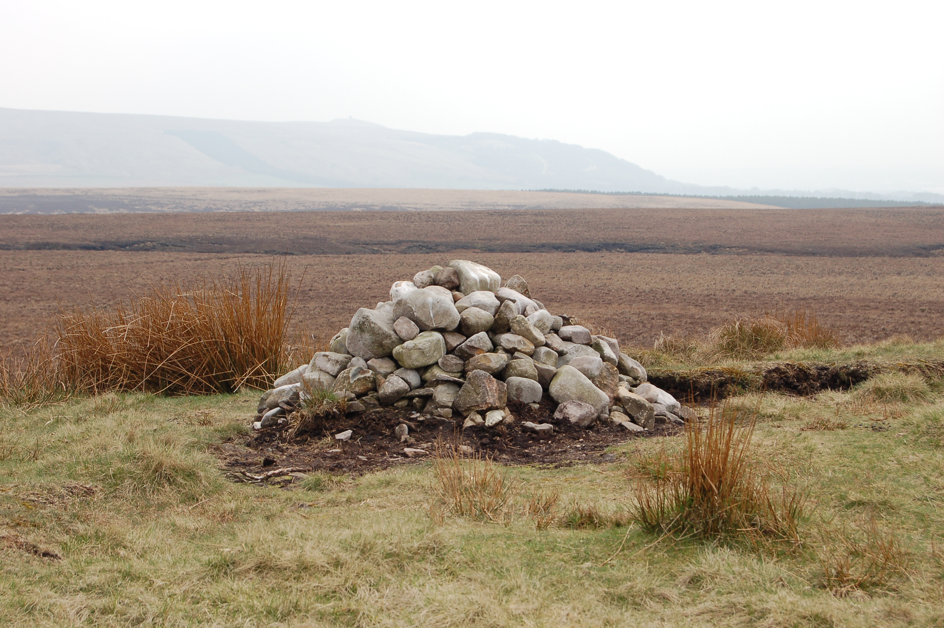
Bradley Wood Images
Images are sourced within 2km of 53.638105/-2.5717698 or Grid Reference SD6215. Thanks to Geograph Open Source API. All images are credited.


Bradley Wood is located at Grid Ref: SD6215 (Lat: 53.638105, Lng: -2.5717698)
Administrative County: Lancashire
District: Chorley
Police Authority: Lancashire
What 3 Words
///venturing.geologist.emulating. Near Chorley, Lancashire
Nearby Locations
Related Wikis
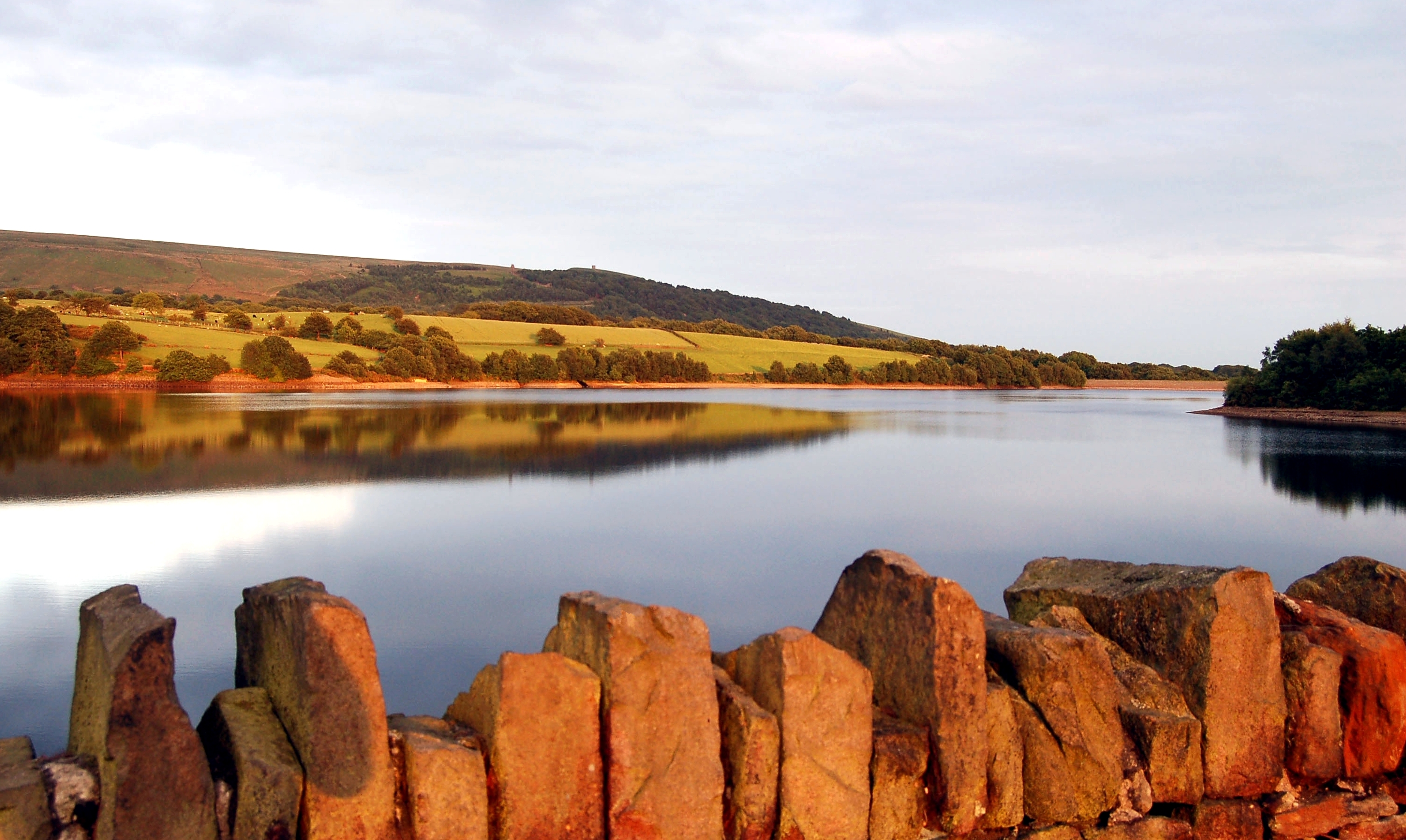
Yarrow Reservoir
Yarrow Reservoir - named after the River Yarrow - is a reservoir in the Rivington chain in Anglezarke, Lancashire, England, and has a storage capacity...

The Street (Heath Charnock)
The Street is a historical property on a bridleway of the same name in Heath Charnock in the Borough of Chorley, Lancashire, England. It is located on...
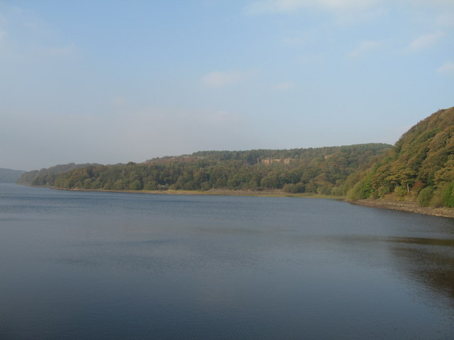
Anglezarke Reservoir
Anglezarke Reservoir is the largest reservoir in the Rivington chain to the west of Anglezarke in Lancashire, England. Anglezarke Reservoir has three...

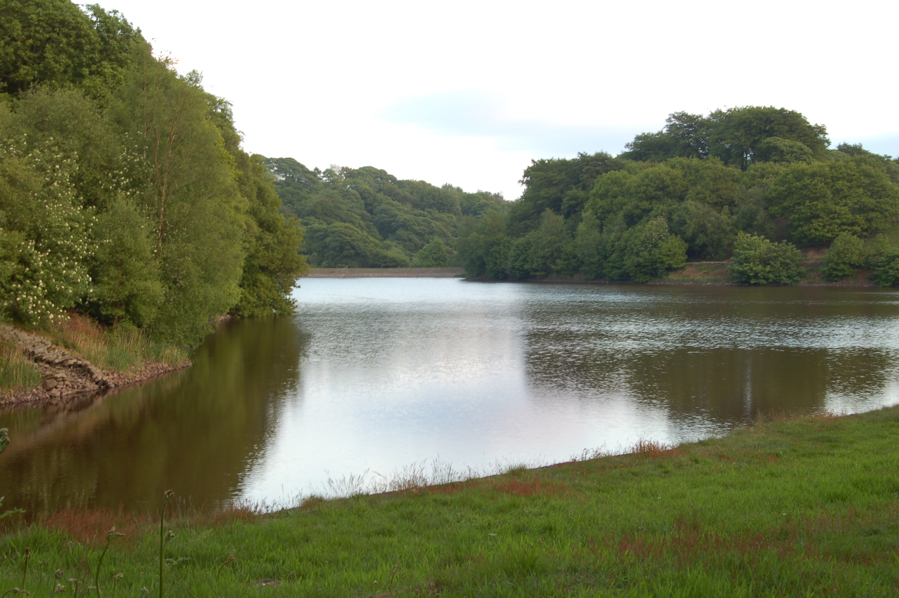
Upper Rivington Reservoir
Upper Rivington Reservoir is situated centrally in the Rivington chain of reservoirs, on the West Pennine Moors in Lancashire, England, between Rivington...
High Bullough Reservoir
High Bullough Reservoir is the oldest of all the reservoirs in the Rivington chain, having been authorised by an Act of Parliament obtained in 1846 and...
Anglezarke
Anglezarke is a sparsely populated civil parish in the Borough of Chorley in Lancashire, England. It is an agricultural area used for sheep farming and...
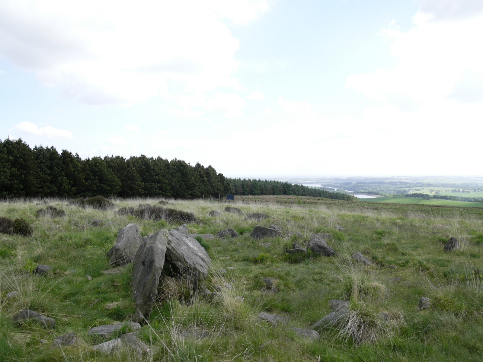
Pikestones
Pikestones is the remains of a Neolithic Burial Cairn, located on Anglezarke moor in Lancashire, England. The site is approximately 150 feet (45 metres...

Rivington
Rivington is a village and civil parish of the Borough of Chorley, Lancashire, England, occupying 2,538 acres (4.0 sq mi; 10.3 km2). It is about 6 miles...
Nearby Amenities
Located within 500m of 53.638105,-2.5717698Have you been to Bradley Wood?
Leave your review of Bradley Wood below (or comments, questions and feedback).