Lockett's Gorse
Wood, Forest in Shropshire
England
Lockett's Gorse
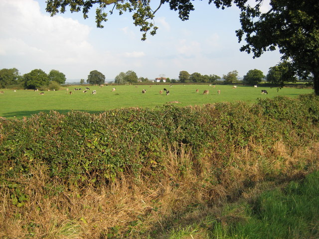
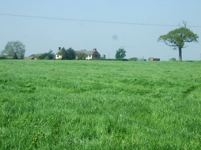
Lockett's Gorse is a picturesque woodland located in the county of Shropshire, England. Nestled within the stunning countryside, this forested area covers approximately 100 acres and is a popular destination for nature lovers and outdoor enthusiasts alike.
The woodland is primarily composed of gorse, a spiny evergreen shrub that blankets the landscape with vibrant yellow flowers during the spring and summer months. This breathtaking display of color attracts a wide variety of pollinators and makes Lockett's Gorse a haven for birdwatchers and insect enthusiasts.
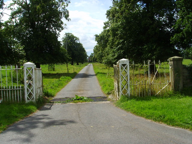
The forest is intersected by a network of well-maintained footpaths and bridleways, allowing visitors to explore the area at their own pace. These trails wind through the dense woodland, revealing hidden clearings, babbling brooks, and ancient trees that have stood for centuries.
Lockett's Gorse is also home to an array of wildlife, including deer, badgers, foxes, and a diverse range of bird species. Nature enthusiasts can often spot woodpeckers, owls, and buzzards in the treetops, adding to the enchanting atmosphere of the forest.
The woodland is open to the public year-round, offering visitors the opportunity to experience the changing seasons in this idyllic setting. Whether it's a leisurely stroll, a family picnic, or a wildlife spotting adventure, Lockett's Gorse provides a peaceful escape from the bustling modern world, allowing visitors to reconnect with nature and immerse themselves in the beauty of Shropshire's woodlands.
If you have any feedback on the listing, please let us know in the comments section below.
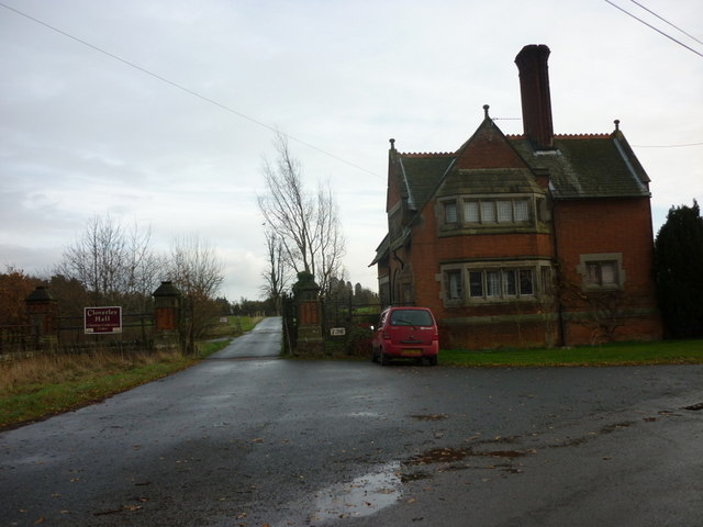
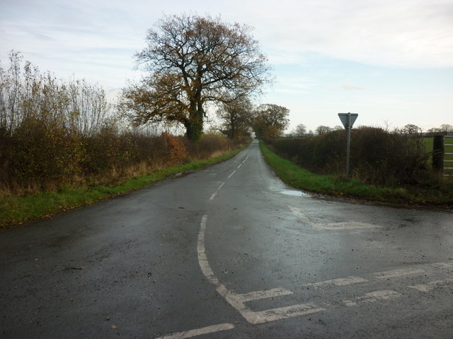
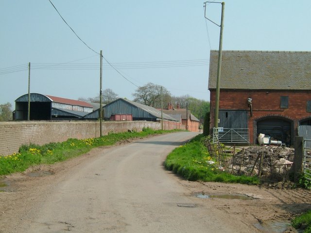
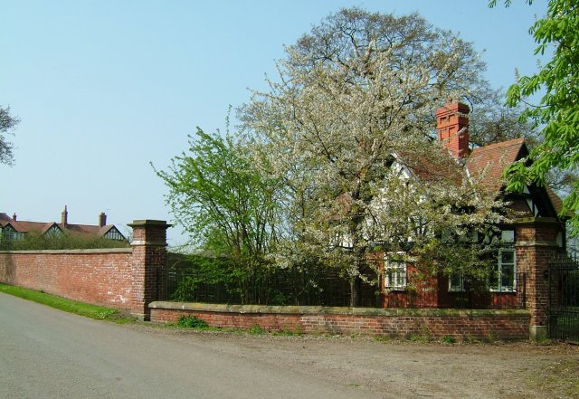
Lockett's Gorse Images
Images are sourced within 2km of 52.924659/-2.5623363 or Grid Reference SJ6236. Thanks to Geograph Open Source API. All images are credited.


Lockett's Gorse is located at Grid Ref: SJ6236 (Lat: 52.924659, Lng: -2.5623363)
Unitary Authority: Shropshire
Police Authority: West Mercia
What 3 Words
///rooster.commoners.period. Near Market Drayton, Shropshire
Nearby Locations
Related Wikis
Calverhall
Calverhall is a small village in Shropshire, approximately 5 miles away from the town of Whitchurch. It lies within the civil parish of its neighbouring...

Styche Hall
Styche Hall is a country house near Market Drayton, Shropshire. It was home to the Clive family and is a Grade II listed building. Styche belonged to the...

Moreton Say
Moreton Say is a small village and sparsely populated civil parish in Shropshire, England, near the borders with Cheshire and Staffordshire, just northwest...
Bletchley, Shropshire
Bletchley is a village in Shropshire, England, near Market Drayton. It is situated close to the A41 Roman road. == See also == Listed buildings in Moreton...
Have you been to Lockett's Gorse?
Leave your review of Lockett's Gorse below (or comments, questions and feedback).