Denton Fell

Wood, Forest in Cumberland Carlisle

England

Denton Fell

View to Rob's Pike through gateway on NW side of rural road
View to Rob's Pike through gateway on NW side of rural road Credit: Luke Shaw

Denton Fell, located in Cumberland, England, is a picturesque woodland area renowned for its natural beauty and rich history. Covering an extensive area, Denton Fell is a prominent feature of the local landscape and attracts nature enthusiasts, hikers, and history buffs alike.

The woodland is predominantly composed of dense forests, interspersed with open clearings and meandering pathways. The variety of tree species present includes oak, beech, and birch, creating a diverse and vibrant ecosystem. The forest floor is adorned with a tapestry of wildflowers and mosses, adding to the enchanting atmosphere.

Denton Fell is also home to a thriving wildlife population, providing a habitat for various animals such as deer, foxes, and a wide array of bird species. Nature enthusiasts can marvel at the sight of these creatures in their natural habitat, making Denton Fell an ideal destination for wildlife observation and photography.

In addition to its natural beauty, Denton Fell holds historical significance. The area boasts remnants of ancient settlements, including stone circles and burial mounds, dating back to the Neolithic and Bronze Ages. These archaeological sites offer a glimpse into the lives and customs of the region's early inhabitants.

Visitors to Denton Fell can explore the woodland through a network of well-maintained trails, catering to both leisurely strolls and more challenging hikes. The tranquil ambiance, coupled with breathtaking vistas, makes Denton Fell an idyllic escape from the hustle and bustle of modern life.

Overall, Denton Fell stands as a testament to the beauty of Cumberland's natural landscape and serves as a sanctuary for both nature and history enthusiasts, offering a truly immersive experience in the heart of the forest.

If you have any feedback on the listing, please let us know in the comments section below.
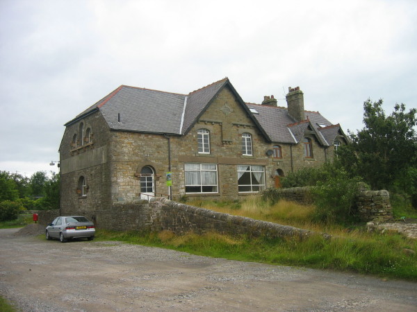
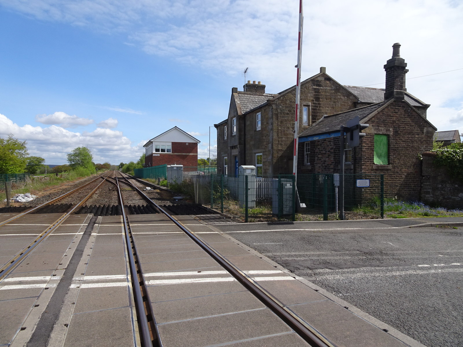
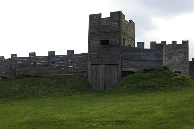
Denton Fell Images

Images are sourced within 2km of 54.952835/-2.596768 or Grid Reference NY6162. Thanks to Geograph Open Source API. All images are credited.

View to Rob's Pike through gateway on NW side of rural road
Gateway to field next to woodland on SW side of rural road
Old Milestone by the A69, Nether Denton parish Metal plate attached to stone post by the A69, in parish of NETHER DENTON (CARLISLE District), Trywell Lodge, Upper Denton West of Temon Bridge, on grass verge, on North side of road. Military Road plate, erected by the Carlisle & Temon (Military Road) turnpike trust in the 18th century. 

Inscription reads:-
: TO NEW / CASTLE / 41 / MILES : : TO CAR / LISLE / 15 / MILES :
Carved benchmark and pivot on top.

Grade II listed. 
List Entry Number: 1087561 <span class="nowrap"><a title="https://historicengland.org.uk/listing/the-list/list-entry/1087561" rel="nofollow ugc noopener" href="https://historicengland.org.uk/listing/the-list/list-entry/1087561">Link</a><img style="margin-left:2px;" alt="External link" title="External link - shift click to open in new window" src="https://s1.geograph.org.uk/img/external.png" width="10" height="10"/></span>

Milestone Society National ID: CU_CLNC15.
Old Milestone by the A69, Nether Denton parish
Metal plate attached to stone post by the A69, in parish of NETHER DENTON (CARLISLE District), Trywell Lodge, Upper Denton West of Temon Bridge, on grass verge, on North side of road. Military Road plate, erected by the Carlisle & Temon (Military Road) turnpike trust in the 18th century. Inscription reads:- : TO NEW / CASTLE / 41 / MILES : : TO CAR / LISLE / 15 / MILES : Carved benchmark and pivot on top. Grade II listed. List Entry Number: 1087561 LinkExternal link Milestone Society National ID: CU_CLNC15.
Old Milestone by the A69, Nether Denton parish Metal plate attached to stone post by the A69, in parish of NETHER DENTON (CARLISLE District), Trywell Lodge, Upper Denton West of Temon Bridge, on grass verge, on North side of road. Military Road plate, erected by the Carlisle & Temon (Military Road) turnpike trust in the 18th century. 

Inscription reads:-
: TO NEW / CASTLE / 41 / MILES : : TO CAR / LISLE / 15 / MILES :
Carved benchmark and pivot on top.

Grade II listed.  
List Entry Number: 1087561 <span class="nowrap"><a title="https://historicengland.org.uk/listing/the-list/list-entry/1087561" rel="nofollow ugc noopener" href="https://historicengland.org.uk/listing/the-list/list-entry/1087561">Link</a><img style="margin-left:2px;" alt="External link" title="External link - shift click to open in new window" src="https://s1.geograph.org.uk/img/external.png" width="10" height="10"/></span>

Milestone Society National ID: CU_CLNC15.
Old Milestone by the A69, Nether Denton parish
Metal plate attached to stone post by the A69, in parish of NETHER DENTON (CARLISLE District), Trywell Lodge, Upper Denton West of Temon Bridge, on grass verge, on North side of road. Military Road plate, erected by the Carlisle & Temon (Military Road) turnpike trust in the 18th century. Inscription reads:- : TO NEW / CASTLE / 41 / MILES : : TO CAR / LISLE / 15 / MILES : Carved benchmark and pivot on top. Grade II listed. List Entry Number: 1087561 LinkExternal link Milestone Society National ID: CU_CLNC15.
The valley of Back Dike below Cocklit Hill
Cross Rigg
Cross Rigg
Thirlwall Common (South Side)
Cross Rigg (2)
Cross Rigg (2)
Hartleyburn Common (North Side) and plantation on Low Hill
Cross Rigg and plantation on Whamoss Rigg
Plantation on Whamoss Rigg
Plantation on Whamoss Rigg (2)
Plantation on Whamoss Rigg (3)
Cow Rigg and plantation on Little Rigg
Cow Rigg and plantation on Middle Hill
Cow Rigg and Cross Rigg See <a href="https://www.geograph.org.uk/photo/2670032">NY6362 : Cross Rigg</a>.
Cow Rigg and Cross Rigg
Cow Rigg and plantation on Little Rigg
Show me another place!

Denton Fell is located at Grid Ref: NY6162 (Lat: 54.952835, Lng: -2.596768)

Administrative County: Cumbria

District: Carlisle

Police Authority: Cumbria

What 3 Words

///cleanest.topmost.angel. Near Greenhead, Northumberland

Related Wikis

Have you been to Denton Fell?

Leave your review of Denton Fell below (or comments, questions and feedback).