Swilland

Settlement in Suffolk East Suffolk

England

Swilland

Country road near Gibraltar Oak tree beside a country road passing through farmland near Gibraltar.
Country road near Gibraltar Credit: Philip Halling

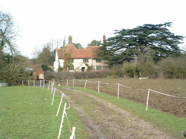
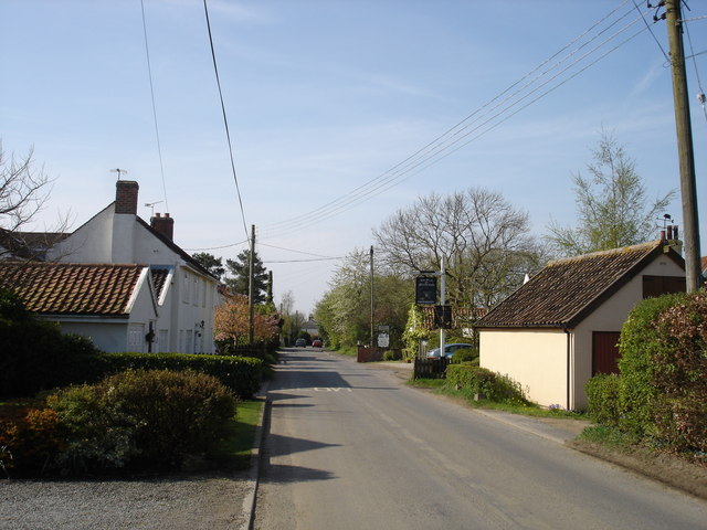
Swilland is a small village situated in the county of Suffolk, England. It is located approximately 7 miles northwest of the town of Ipswich and is part of the Mid Suffolk district. Nestled amidst the picturesque countryside, Swilland boasts a tranquil and rural setting, making it an attractive destination for those seeking a peaceful retreat.

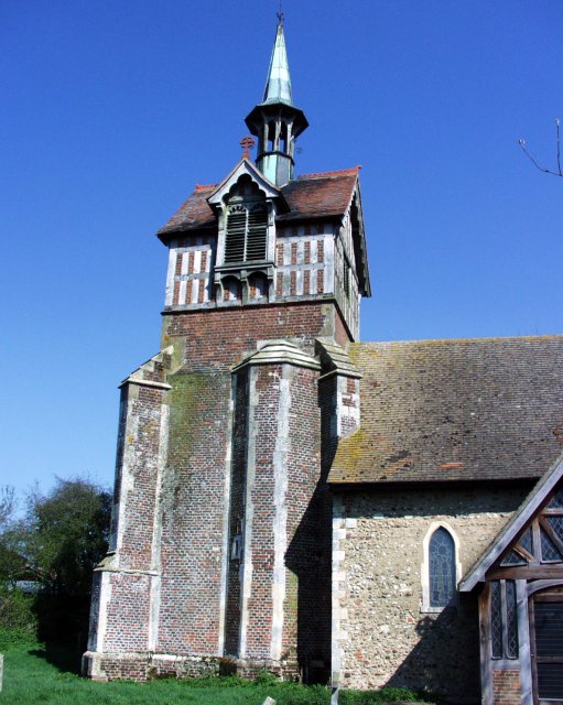
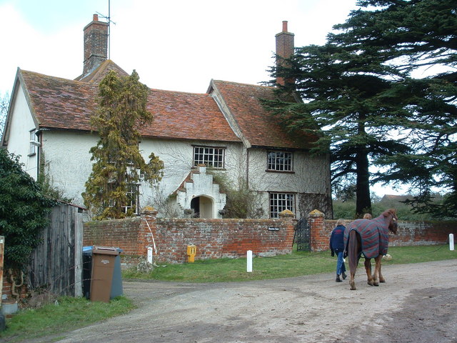
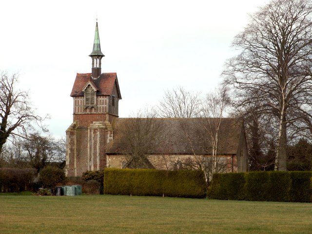
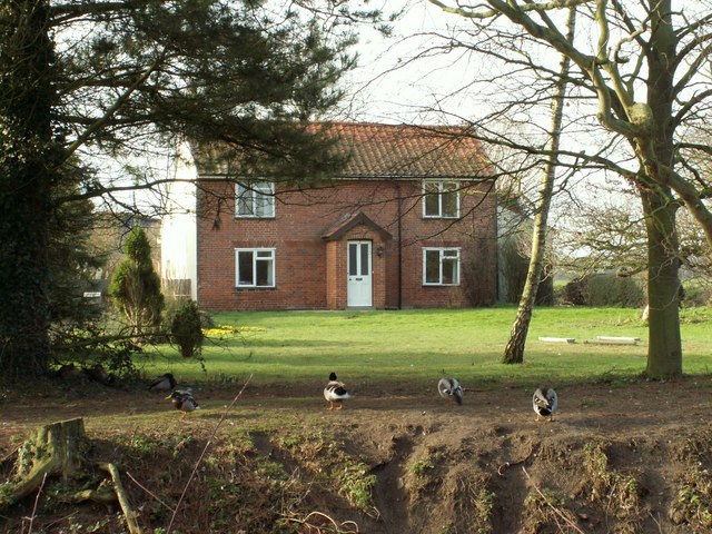
The village itself is home to a tight-knit community, with a population of around 300 residents. Swilland is known for its charming and traditional architecture, with many of its buildings dating back several centuries. The village church, St. Mary's, is a prominent feature, showcasing stunning medieval craftsmanship.

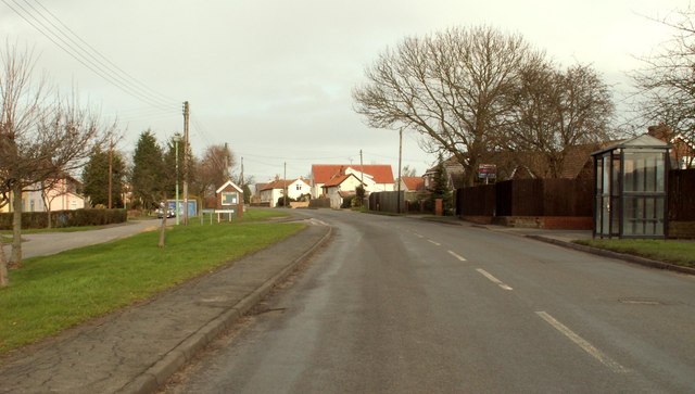
Despite its small size, Swilland offers a range of amenities for its residents. The village has a local pub, The Moon and Mushroom, which is a popular spot for locals and visitors alike to enjoy a pint and a hearty meal. Additionally, there is a village hall that serves as a hub for various community events and gatherings.

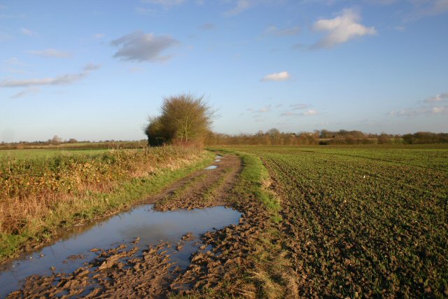
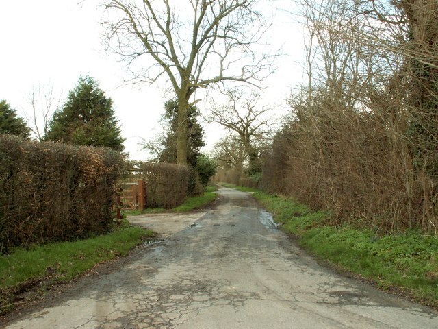
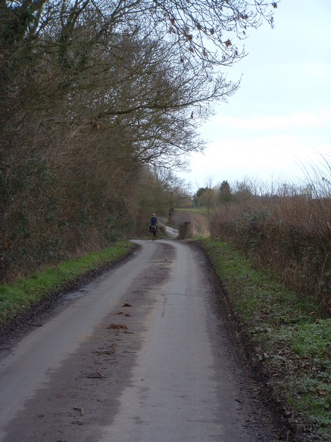
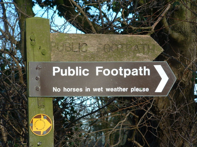
Surrounded by the natural beauty of Suffolk, Swilland provides ample opportunities for outdoor activities and exploration. The village is close to several nature reserves and woodland areas, such as Swilland Wood and Ashfield Wood, offering picturesque walking trails and wildlife spotting.

Overall, Swilland is a charming and peaceful village, perfect for those seeking a tranquil lifestyle amidst the beauty of the Suffolk countryside.

If you have any feedback on the listing, please let us know in the comments section below.
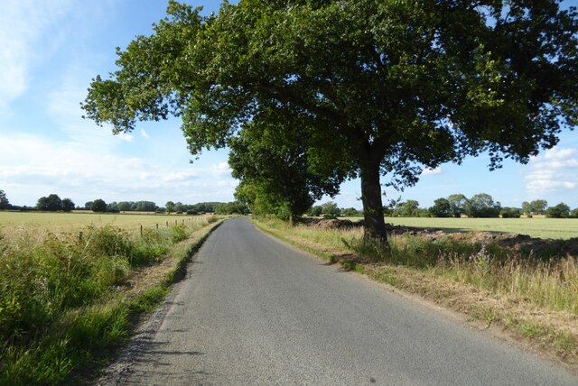
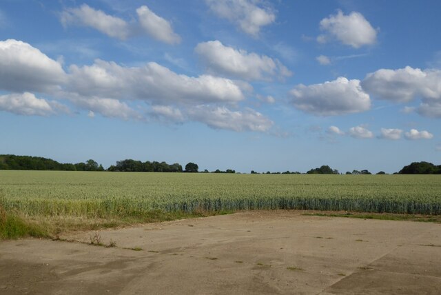
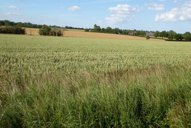
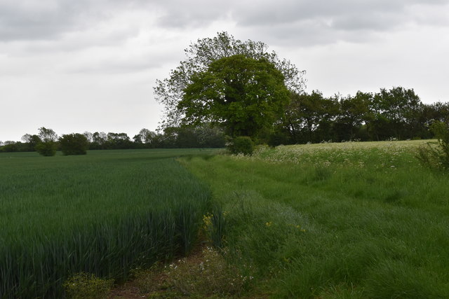
Swilland Images

Images are sourced within 2km of 52.131558/1.196801 or Grid Reference TM1852. Thanks to Geograph Open Source API. All images are credited.

Country road near Gibraltar Oak tree beside a country road passing through farmland near Gibraltar.
Country road near Gibraltar
Oak tree beside a country road passing through farmland near Gibraltar.
A wheat field near Gibraltar
Arable fields near Otley Wheat fields near Otley.
Arable fields near Otley
Wheat fields near Otley.
Field of borage at Hare & Hounds Corner, Ashbocking
Footpath towards Clopton Looking east from Charity Lane near Poplar Farm.
Footpath towards Clopton
Looking east from Charity Lane near Poplar Farm.
Swilland
Swilland
Bridleway to Berghersh House Close to the Henley Riding School, this track is a favourite walk for the local horses.
Bridleway to Berghersh House
Close to the Henley Riding School, this track is a favourite walk for the local horses.
Country road looking towards Ashbocking This section of road is on the course of a Roman road.
Country road looking towards Ashbocking
This section of road is on the course of a Roman road.
Road junction at Ashbocking The road in the foreground is the B.1078 and the road ahead is the B.1077
Road junction at Ashbocking
The road in the foreground is the B.1078 and the road ahead is the B.1077
Allotment Lane in Ashbocking This lane eventually ends up at Poplar Farm.
Allotment Lane in Ashbocking
This lane eventually ends up at Poplar Farm.
Distant Horse Rider A distant horse rider along a bleak wintry lane near to Swilland Suffolk.
Distant Horse Rider
A distant horse rider along a bleak wintry lane near to Swilland Suffolk.
Newton Hall Newton hall near to Swilland Suffolk.
Newton Hall
Newton hall near to Swilland Suffolk.
Public Footpath For horses Footpath sign no horses in wet weather.
Public Footpath For horses
Footpath sign no horses in wet weather.
Newton Hall Newton hall near to Swilland Suffolk.
Newton Hall
Newton hall near to Swilland Suffolk.
Upper Street, Witnesham This is the B.1077 heading towards Ashbocking.
Upper Street, Witnesham
This is the B.1077 heading towards Ashbocking.
St. Mary's church, Swilland, Suffolk As you approach Swilland village from the south, you suddenly notice the strange tower of St.Mary's church. The upper part of the tower is Victorian, built by J.S.Corder of Ipswich in 1897, and the lower section is 16th century. Perhaps the original tower collapsed. The church actually dates back to the Norman period and has an interesting Norman south doorway.
St. Mary's church, Swilland, Suffolk
As you approach Swilland village from the south, you suddenly notice the strange tower of St.Mary's church. The upper part of the tower is Victorian, built by J.S.Corder of Ipswich in 1897, and the lower section is 16th century. Perhaps the original tower collapsed. The church actually dates back to the Norman period and has an interesting Norman south doorway.
Water Tower on High Road, Swilland
A house at Gibraltar farm
Show me another place!

Swilland is located at Grid Ref: TM1852 (Lat: 52.131558, Lng: 1.196801)

Administrative County: Suffolk

District: East Suffolk

Police Authority: Suffolk

What 3 Words

///jumped.enjoys.microfilm. Near Grundisburgh, Suffolk

Nearby Locations

Swilland

Related Wikis

Swilland

Swilland is a village and civil parish, in the East Suffolk district, in the English county of Suffolk. It is north of the large town of Ipswich. Swilland...

Brooke House

Brooke House in Ashbocking, north of Ipswich in Suffolk is the headquarters of the Suffolk Wildlife Trust.The house was left to the trust by Mary Brooke...

Suffolk Rural College

Suffolk Rural College is an English further education college in the village of Otley, Suffolk. The college was founded in 1970 as Otley College of Agriculture...

Ashbocking

Ashbocking is a village and civil parish in the Mid Suffolk district of Suffolk, England. The village is about seven miles north of Ipswich, and according...

Nearby Amenities

Located within 500m of 52.131558,1.196801
Swilland
Place: village
Wikidata: Q1024014
Wikipedia: en:Swilland
Lat/Long: 52.131272/1.1966001
Bus Stop
Church Lane
Naptan AtcoCode: 390060736
Naptan Bearing: S
Naptan CommonName: Church Lane
Naptan Indicator: opp
Naptan Landmark: Church Lane
Naptan NaptanCode: sufgtjtg
Naptan Street: High Road
Naptan Verified: no
Source: naptan_import
Lat/Long: 52.1310833/1.1965425
Bus Stop
Church Lane
Local Ref: adj
Naptan AtcoCode: 390060737
Naptan Bearing: NE
Naptan BusStopType: CUS
Naptan CommonName: Church Lane
Naptan Indicator: adj
Naptan Landmark: Church Lane
Naptan NaptanCode: sufgtjtj
Naptan Street: High Road
Naptan Verified: no
Public Transport: platform
Source: naptan_import
Lat/Long: 52.1310605/1.1963039
Power: pole
Lat/Long: 52.1340824/1.1923411
Power: pole
Lat/Long: 52.1337531/1.1940095
Power: pole
Lat/Long: 52.1333662/1.1959058
Power: pole
Lat/Long: 52.1329958/1.1977753
Power: pole
Lat/Long: 52.1324623/1.1996716
Post Box
Operator: Royal Mail
Post Box Mounting: pier
Post Box Type: lamp
Ref: IP6 1014
Royal Cypher: EIIR
Lat/Long: 52.1304287/1.195664
Swilland War Memorial
Heritage Operator: Historic England
Heritage Website: https://historicengland.org.uk/listing/the-list/list-entry/1470269
Historic: memorial
Listed Status: Grade II
Material: stone
Memorial: war_memorial
Ref GB Nhle: 1470269
Start Date: 1920-09-25
Wikidata: Q97460510
Lat/Long: 52.1316877/1.1955176
The data included in this document is from www.openstreetmap.org. The data is made available under ODbL.

Have you been to Swilland?

Leave your review of Swilland below (or comments, questions and feedback).