Swift's Green
Settlement in Kent Ashford
England
Swift's Green
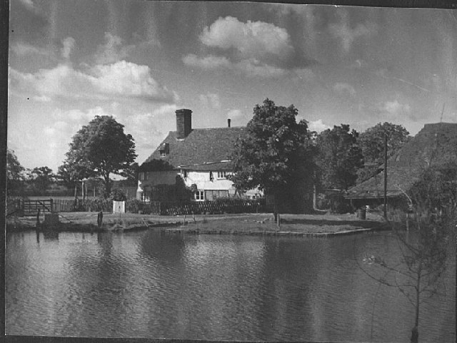
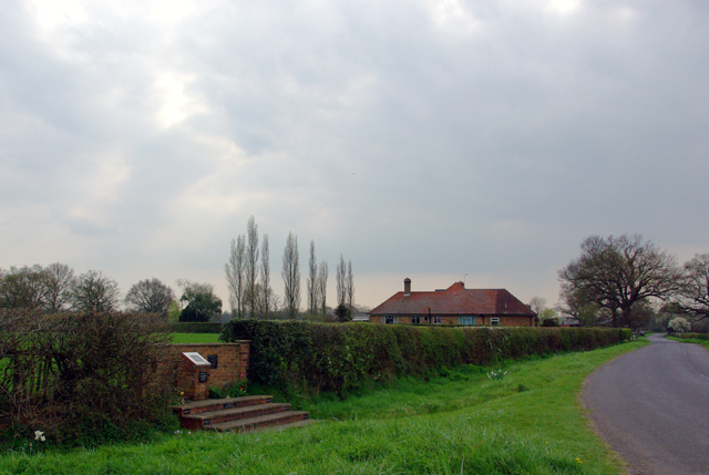
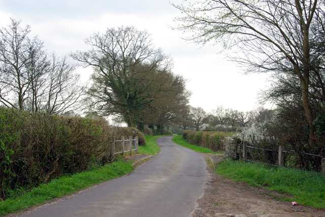
Swift's Green is a small village located in the county of Kent, England. Situated about 5 miles west of the town of Ashford, it falls within the civil parish of Charing. The village is surrounded by picturesque countryside, with rolling hills and fields creating a peaceful and idyllic setting.
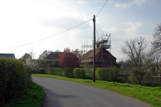
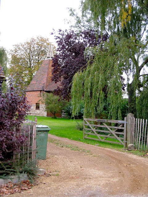
The origins of Swift's Green can be traced back to medieval times, and the village retains a charming and traditional atmosphere. It consists mainly of residential properties, including a mix of traditional cottages and more modern houses. The village is known for its close-knit community, with friendly and welcoming locals.
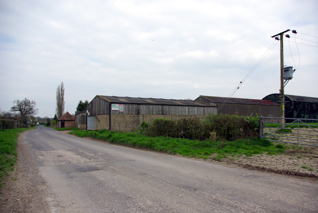
Despite its small size, Swift's Green offers a range of amenities for its residents. These include a village hall, which hosts various community events and activities, as well as a local pub where locals and visitors can enjoy a drink or a meal. Additionally, there are several shops and services available in nearby Charing, ensuring that residents have access to essential amenities.
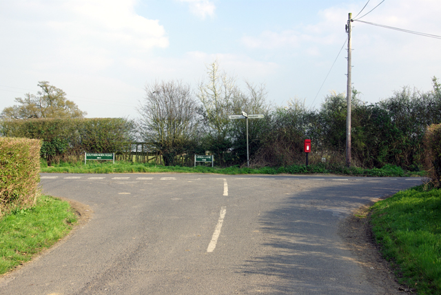
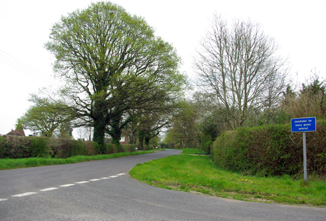
The village is surrounded by beautiful countryside, providing ample opportunities for outdoor activities such as walking, cycling, and horse riding. The nearby Kent Downs Area of Outstanding Natural Beauty offers stunning landscapes and is a popular destination for nature lovers and outdoor enthusiasts.
Overall, Swift's Green is a charming and peaceful village in the heart of the Kent countryside. Its strong sense of community, coupled with its beautiful surroundings, makes it an appealing place to live for those seeking a rural and tranquil lifestyle.
If you have any feedback on the listing, please let us know in the comments section below.
Swift's Green Images
Images are sourced within 2km of 51.16852/0.67546 or Grid Reference TQ8744. Thanks to Geograph Open Source API. All images are credited.


Swift's Green is located at Grid Ref: TQ8744 (Lat: 51.16852, Lng: 0.67546)
Administrative County: Kent
District: Ashford
Police Authority: Kent
What 3 Words
///pocketed.jokes.matrons. Near Headcorn, Kent
Nearby Locations
Related Wikis
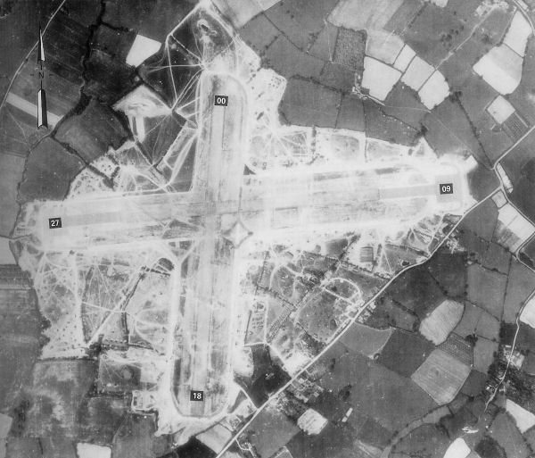
RAF Headcorn
Royal Air Force Headcorn or more commonly known as RAF Headcorn is a former Royal Air Force Advanced Landing Ground located 2 miles (3.2 km) northeast...

Lashenden Air Warfare Museum
Lashenden Air Warfare Museum is an aviation museum at Lashenden (Headcorn) Airfield in Kent in southeast England. == Exhibits == A Fieseler Fi 103R Reichenberg...
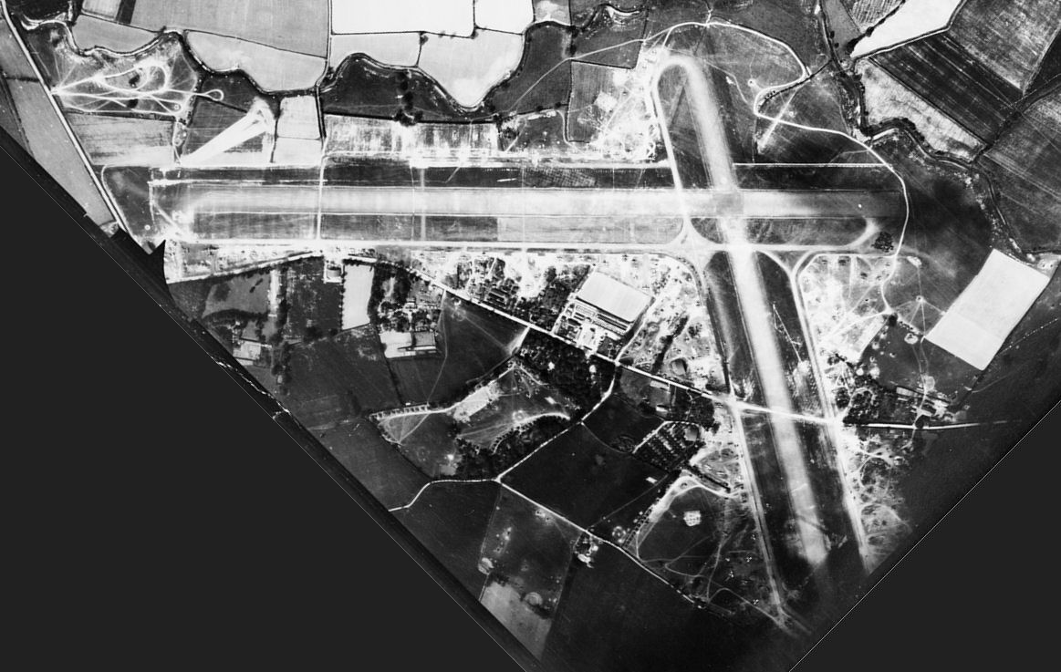
Headcorn Aerodrome
Headcorn Aerodrome (ICAO: EGKH) is a private airfield in Kent, England. The airfield is located 8 NM (15 km; 9.2 mi) south of Maidstone; about 32 miles...
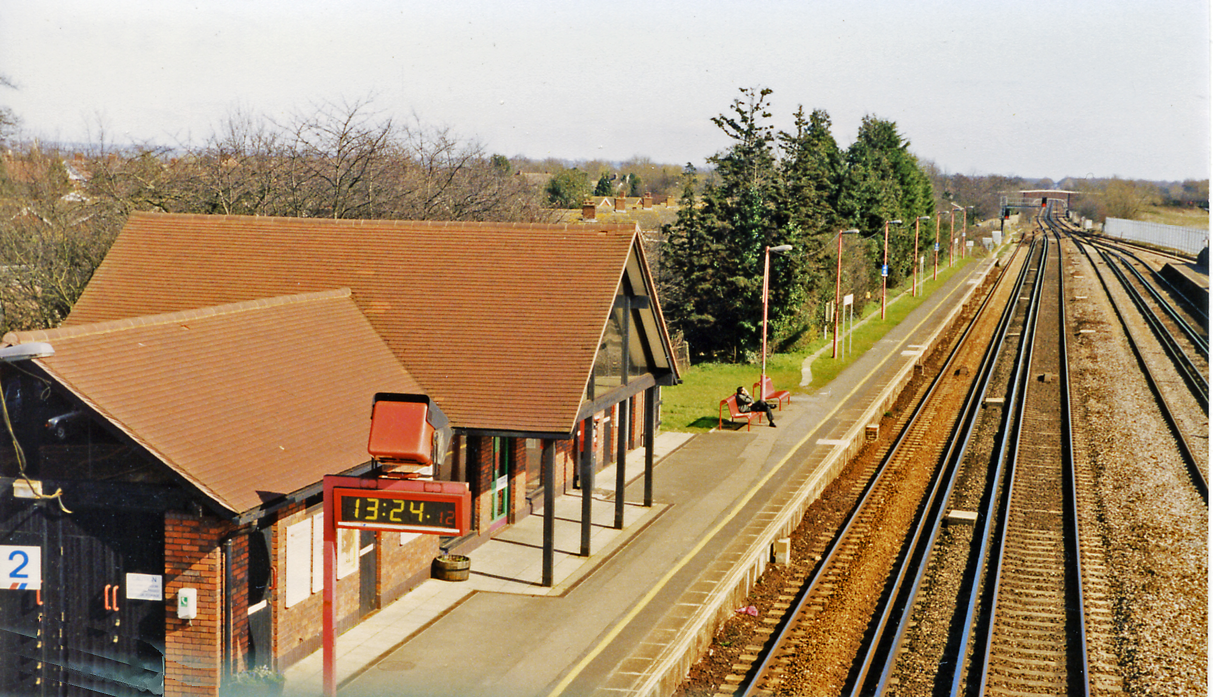
Headcorn railway station
Headcorn railway station is on the South Eastern Main Line in England, serving the village of Headcorn, Kent. It is 45 miles 20 chains (72.8 km) down the...
Nearby Amenities
Located within 500m of 51.16852,0.67546Have you been to Swift's Green?
Leave your review of Swift's Green below (or comments, questions and feedback).