Swillbrook
Settlement in Lancashire Preston
England
Swillbrook
Swillbrook is a charming village located in the county of Lancashire, England. Nestled in the picturesque countryside, it offers a peaceful and idyllic setting for its residents. With a population of around 500, Swillbrook retains a close-knit community feel.
The village is known for its quaint architecture, with traditional stone cottages lining the streets. The local pub, The Swan Inn, serves as a popular gathering spot for locals and visitors alike, offering a cozy atmosphere and a selection of traditional British cuisine.
Nature enthusiasts will find plenty to explore in and around Swillbrook. The village is surrounded by lush green fields, offering scenic walking and cycling paths for outdoor enthusiasts. The nearby Swillbrook Woods is a haven for wildlife, with a variety of bird species and woodland creatures making their home in the area.
In terms of amenities, Swillbrook boasts a well-stocked village shop, which caters to the daily needs of its residents. Additionally, the village has a primary school, providing education for children up to the age of 11.
Despite its tranquil setting, Swillbrook benefits from its proximity to larger towns and cities. The bustling market town of Lancaster is just a short drive away, offering a range of shopping, dining, and entertainment options.
Overall, Swillbrook is a charming village that offers a peaceful and close-knit community, surrounded by beautiful countryside. Its idyllic setting and range of amenities make it an attractive place to live for those seeking a slower pace of life.
If you have any feedback on the listing, please let us know in the comments section below.
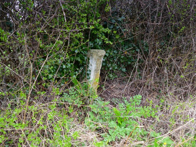
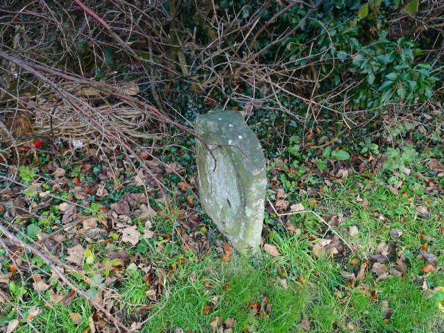
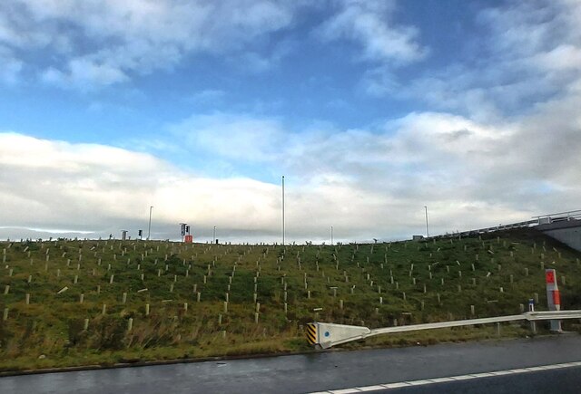
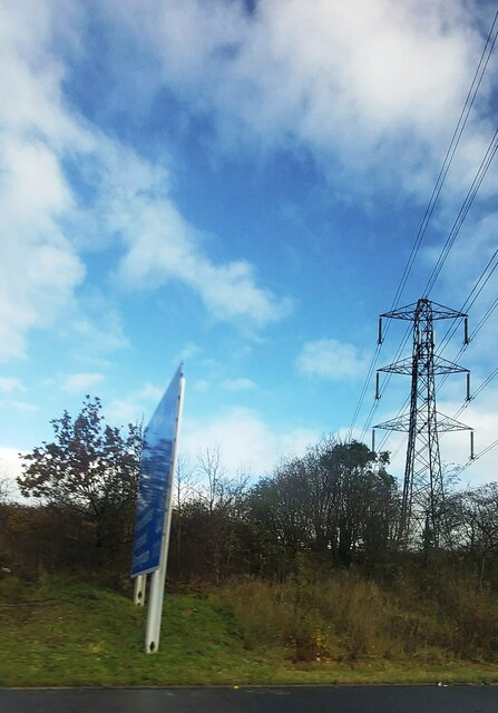
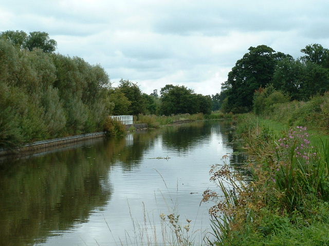
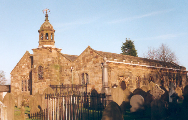
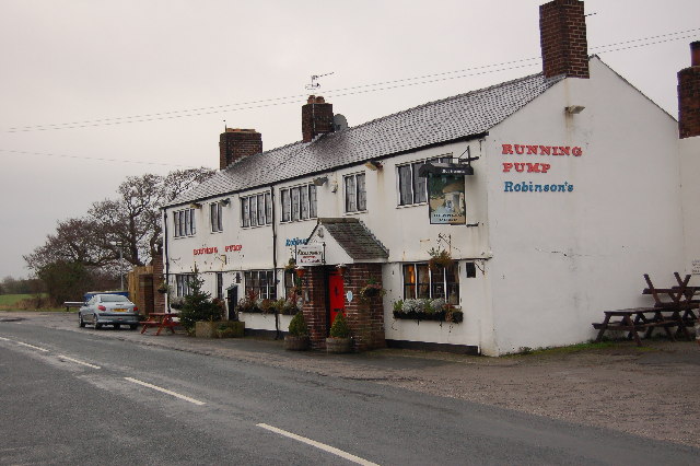
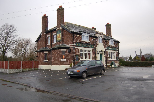
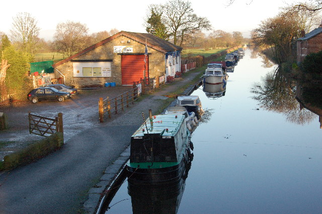
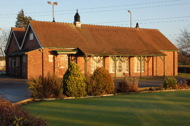
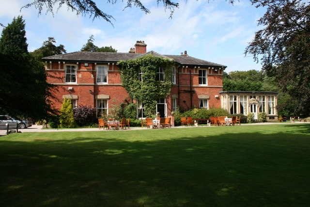
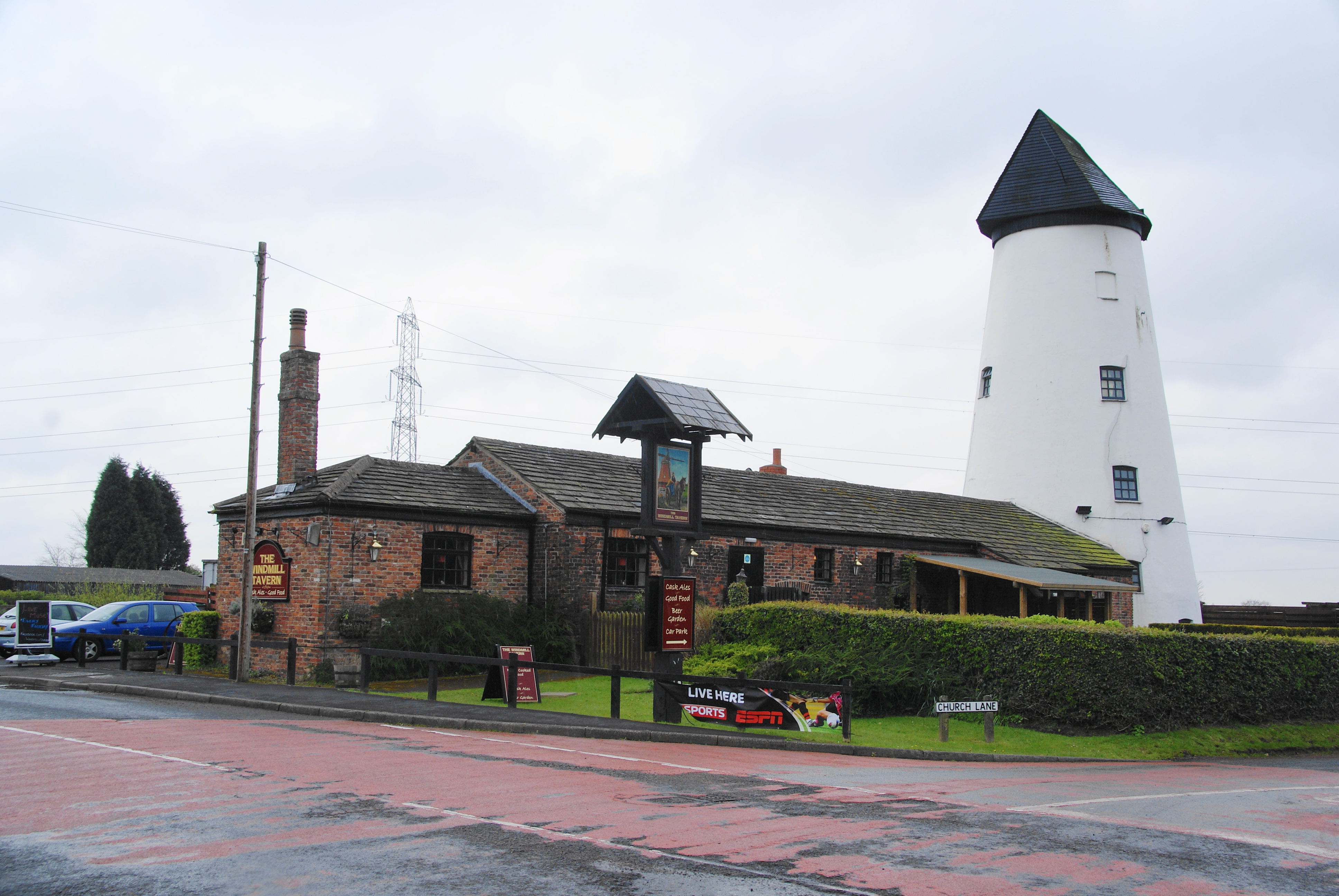
Swillbrook Images
Images are sourced within 2km of 53.807369/-2.785063 or Grid Reference SD4834. Thanks to Geograph Open Source API. All images are credited.


Swillbrook is located at Grid Ref: SD4834 (Lat: 53.807369, Lng: -2.785063)
Administrative County: Lancashire
District: Preston
Police Authority: Lancashire
What 3 Words
///form.solve.other. Near Kirkham, Lancashire
Nearby Locations
Related Wikis
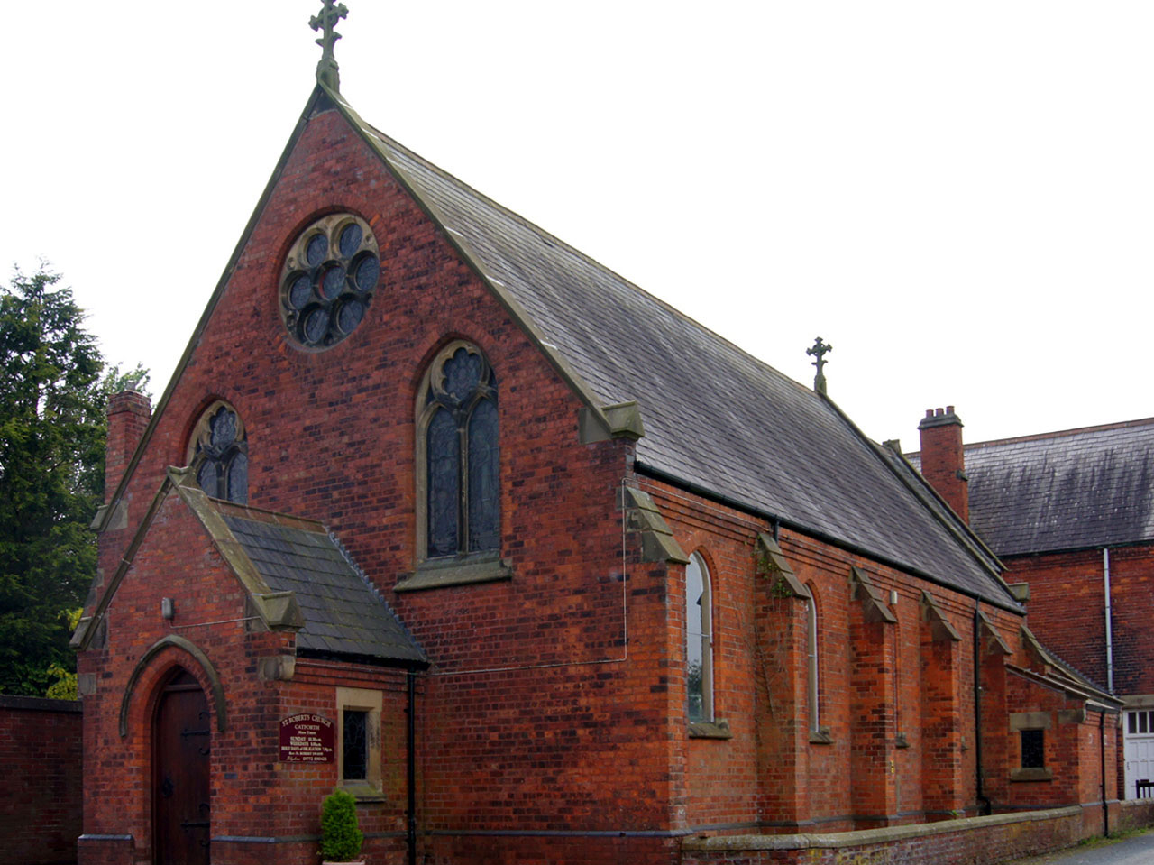
Catforth
Catforth is a village in the English civil parish of Woodplumpton and the City of Preston district, in Lancashire, England. There is a village hall and...
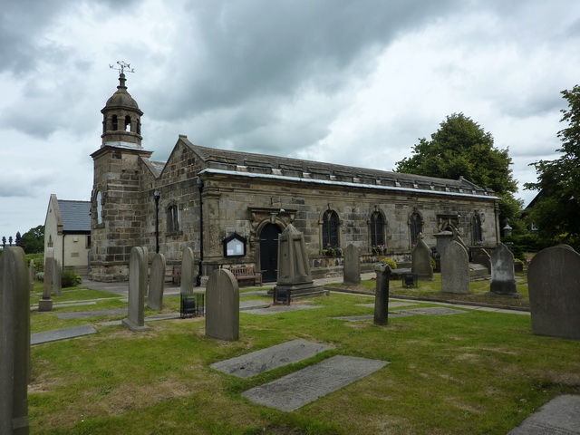
St Anne's Church, Woodplumpton
St Anne's is a church in the village of Woodplumpton in Lancashire, England. It is an active Anglican parish church in the Diocese of Blackburn, and the...
Woodplumpton
Woodplumpton is a village and civil parish in the City of Preston, Lancashire, England, located 5 miles (8 km) north of Preston. == Geography == It is...
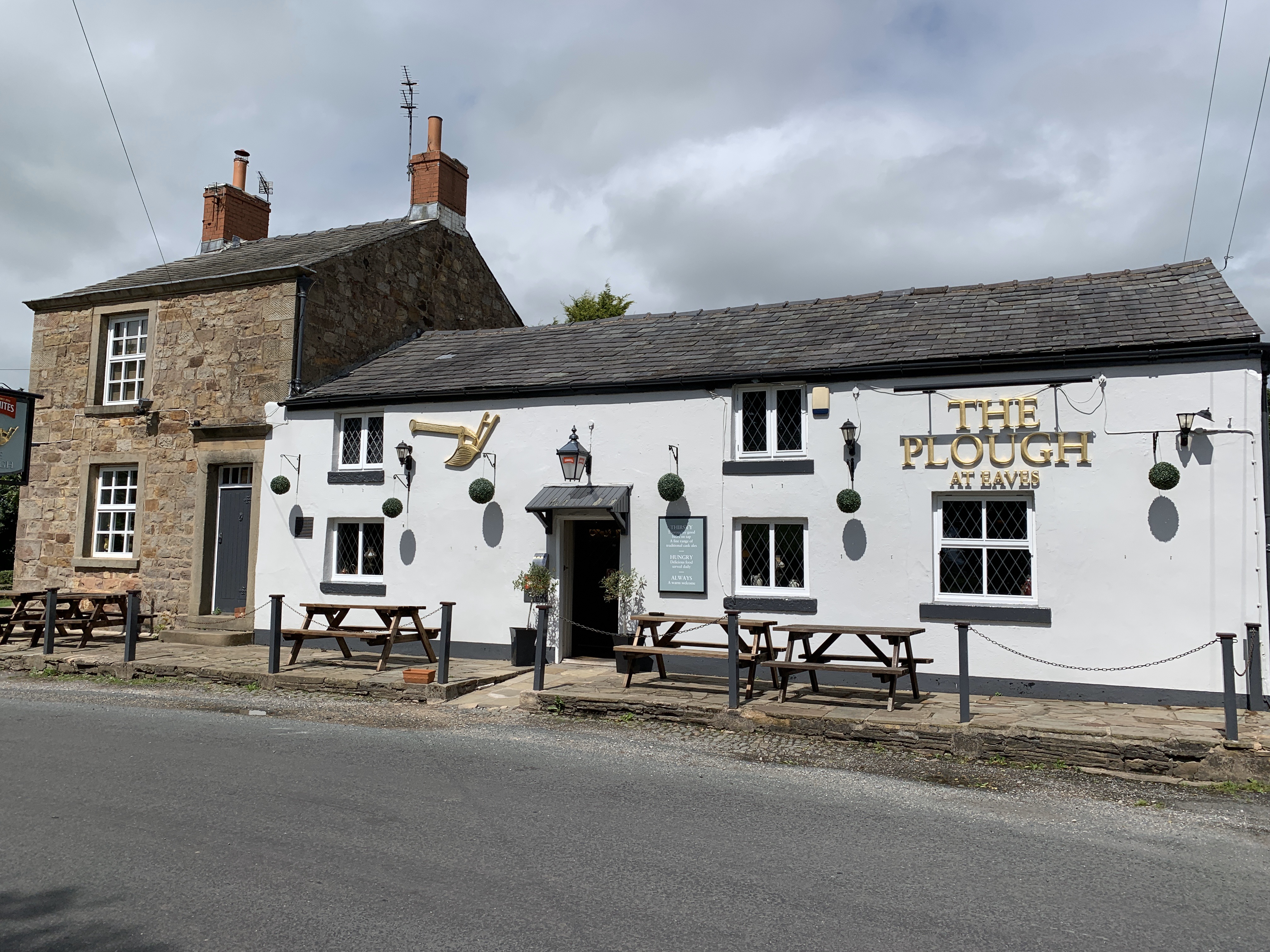
Eaves, Lancashire
Eaves is a hamlet in Lancashire, England, six miles north of Preston. It is part of the Fylde, a flat area of land between the Forest of Bowland and the...
The Plough at Eaves
The Plough at Eaves is a public house on Eaves Lane in Eaves, Lancashire, a hamlet of Woodplumpton. It is owned by Thwaites Brewery. Dating to 1625, when...
Salwick
Salwick is a village between Kirkham and Preston in Lancashire, England. The village is largely rural and is an extension of the smaller Clifton to the...

Broughton railway station (England)
Broughton railway station served the village of Broughton, Lancashire, England, from June to November 1840 on the Lancaster and Preston Junction Railway...
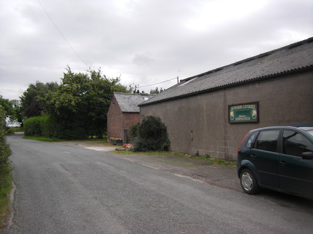
Inskip-with-Sowerby
Inskip-with-Sowerby is a civil parish in the Borough of Wyre, in Lancashire, England. A part of the Fylde, the parish includes the village of Inskip and...
Nearby Amenities
Located within 500m of 53.807369,-2.785063Have you been to Swillbrook?
Leave your review of Swillbrook below (or comments, questions and feedback).