Spindle Rock
Coastal Feature, Headland, Point in Angus
Scotland
Spindle Rock

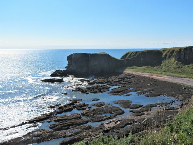
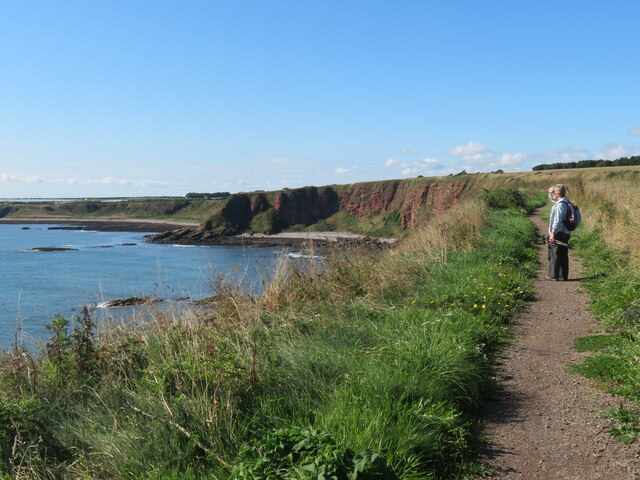
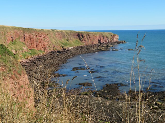
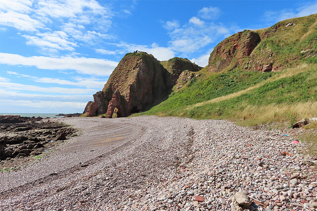
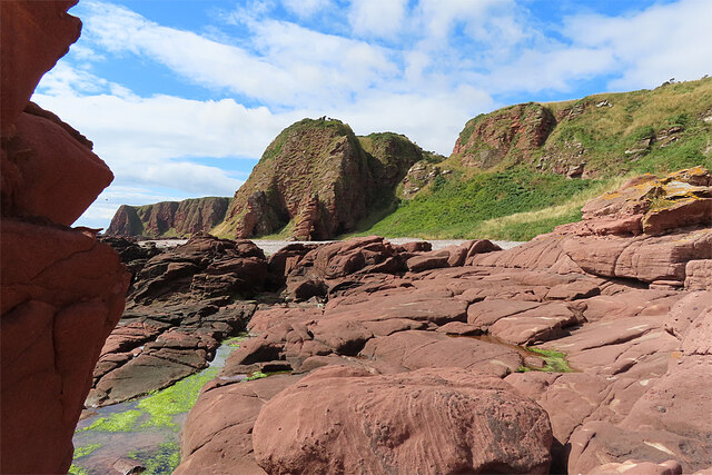
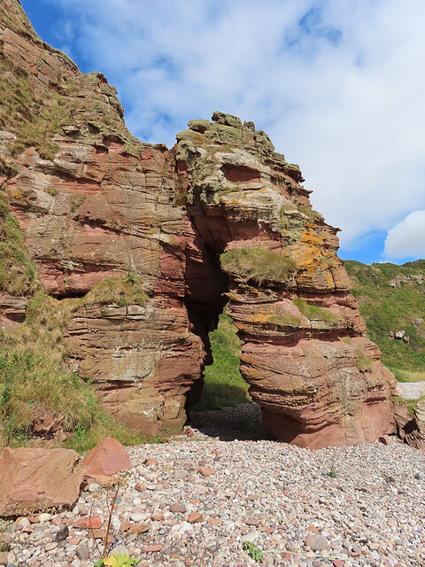
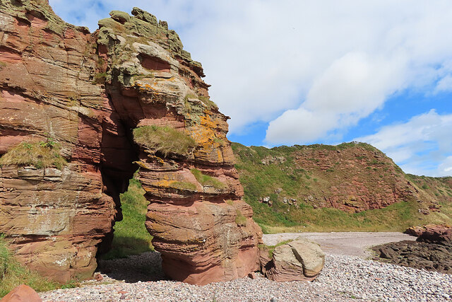
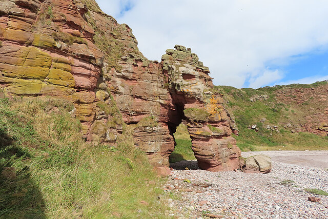
Spindle Rock is a prominent coastal feature located in Angus, Scotland. It is a headland that stretches out into the North Sea, forming a distinctive point along the coast. The rock gets its name from its unique shape, resembling a spindle or a spinning top when viewed from a distance.
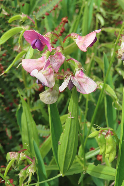
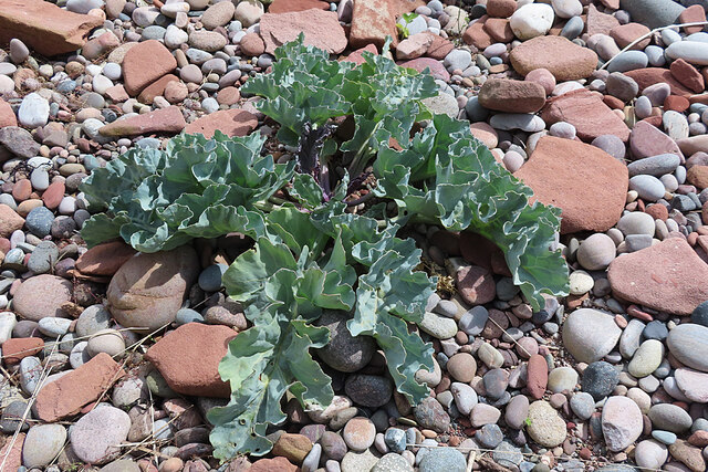
Rising up from the foaming waves, Spindle Rock is composed of rugged, weathered sandstone cliffs that provide a dramatic backdrop against the azure sea. The cliffs are dotted with various plants and grasses that cling to their crevices, adding a touch of green to the otherwise rocky landscape.
The headland offers stunning panoramic views of the surrounding area, making it a popular spot for tourists and nature enthusiasts alike. From the top of Spindle Rock, visitors can enjoy breathtaking vistas of the expansive ocean, as well as the picturesque coastline that stretches both north and south.
In addition to its scenic beauty, Spindle Rock also holds historical significance. It is believed to have been a navigational landmark for sailors and fishermen in the past, guiding them safely along the treacherous coastline. Today, the rock serves as a reminder of the region's maritime heritage.
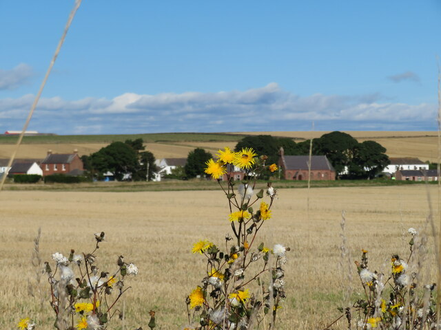
Spindle Rock is easily accessible to visitors, with a well-maintained footpath leading up to its summit. However, caution is advised when exploring the area, as the cliffs can be steep and slippery. Nonetheless, for those willing to make the journey, Spindle Rock offers a captivating blend of natural splendor and cultural history.
If you have any feedback on the listing, please let us know in the comments section below.
Spindle Rock Images
Images are sourced within 2km of 56.59248/-2.5185277 or Grid Reference NO6844. Thanks to Geograph Open Source API. All images are credited.


Spindle Rock is located at Grid Ref: NO6844 (Lat: 56.59248, Lng: -2.5185277)
Unitary Authority: Angus
Police Authority: Tayside
What 3 Words
///acclaimed.autumn.spices. Near Arbroath, Angus
Nearby Locations
Related Wikis

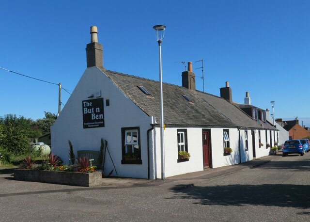
Auchmithie
Auchmithie is a small fishing village in Angus, Scotland, three miles north east of the town of Arbroath. It sits atop a cliff of red sandstone conglomerate...
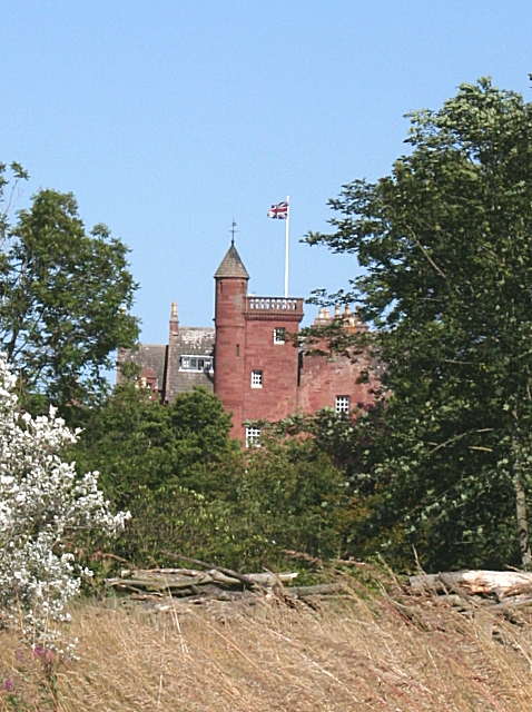
Ethie Castle
Ethie Castle is a 15,091 square feet (1,402.0 m2) 14th-century castle, situated around 3 miles north of the fishing town of Arbroath in Angus, Scotland...

Marywell
Marywell is a village in Angus, Scotland, that is north of Arbroath, in the parish of St Vigeans. == References == == Sources == Marywell in the Gazetteer...

Cauldcots railway station
Cauldcots railway station served the hamlet of Cauldcots, Angus, Scotland, from 1883 to 1930 on the North British, Arbroath and Montrose Railway. ��2...
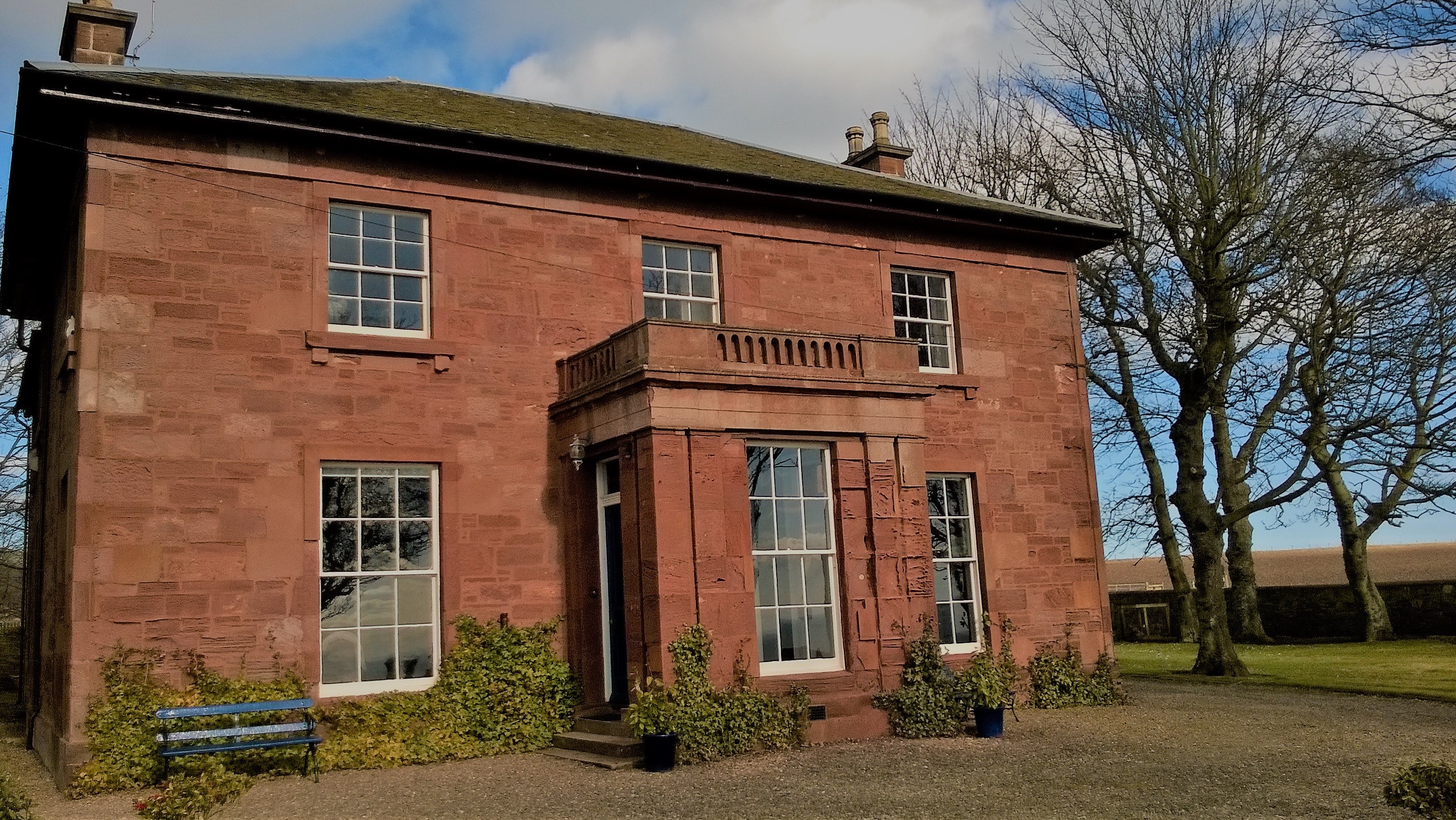
West Seaton House
West Seaton House is a listed building of late Regency design, situated approximately one mile (1.6 km) to the east of Arbroath in the parish of St. Vigeans...
St Vigeans Sculptured Stones Museum
St Vigeans Sculptured Stones Museum, located in the Angus village of St Vigeans, houses an outstanding collection of Pictish carved stones. St Vigeans...
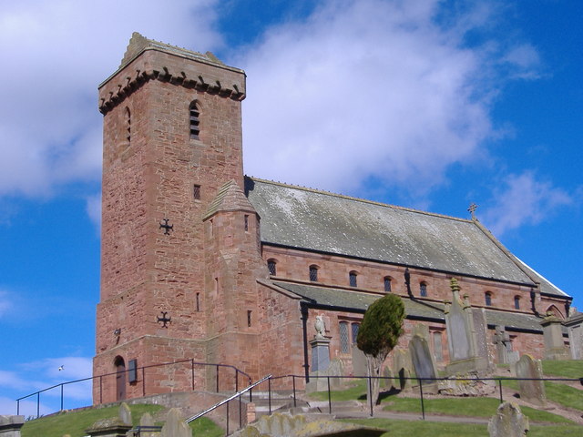
St Vigeans Church
St Vigeans Church is a Church of Scotland parish church, serving the parish of the ancient village of St Vigeans on the outskirts of Arbroath, Angus, Scotland...

Inverkeilor railway station
Inverkeilor railway station served the village of Inverkeilor, Angus, Scotland from 1883 to 1930 on the North British, Arbroath and Montrose Railway....
Nearby Amenities
Located within 500m of 56.59248,-2.5185277Have you been to Spindle Rock?
Leave your review of Spindle Rock below (or comments, questions and feedback).