Upper Moor Plantation

Wood, Forest in Devon Exeter

England

Upper Moor Plantation

Housing estate, Digby, Exeter
Housing estate, Digby, Exeter Credit: thejackrustles

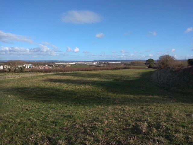
Upper Moor Plantation is a sprawling woodland located in the county of Devon, England. This enchanting forest covers a vast area of approximately 500 acres and is known for its rich biodiversity and scenic beauty. The plantation is situated in the heart of the countryside, surrounded by rolling hills and meandering streams.

The woodland is predominantly composed of native tree species such as oak, beech, and ash, creating a diverse and vibrant ecosystem. The dense canopy provides a sanctuary for a wide range of wildlife, including various species of birds, mammals, and insects.

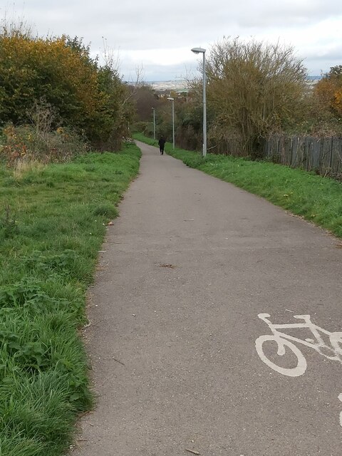
Visitors to Upper Moor Plantation can explore the numerous well-maintained walking trails that wind through the forest, offering a chance to immerse themselves in nature and enjoy the peaceful ambiance. The plantation also features picnic areas and designated camping spots, making it an ideal destination for outdoor enthusiasts and families seeking a serene retreat.

In addition to its natural beauty, Upper Moor Plantation also plays a crucial role in conservation efforts. The forest is managed sustainably, with careful consideration given to preserving its ecological balance. This includes ongoing tree planting initiatives and the protection of endangered species that call the plantation home.

Overall, Upper Moor Plantation in Devon is a captivating woodland that offers a unique opportunity to connect with nature. Its abundant flora and fauna, coupled with its serene atmosphere, make it a popular destination for those seeking solace in the great outdoors.

If you have any feedback on the listing, please let us know in the comments section below.

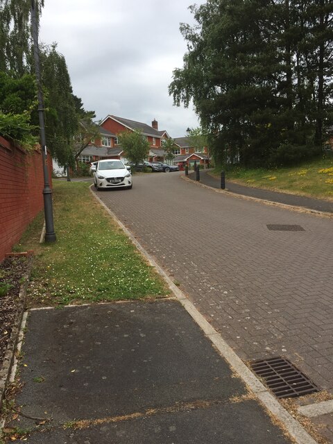
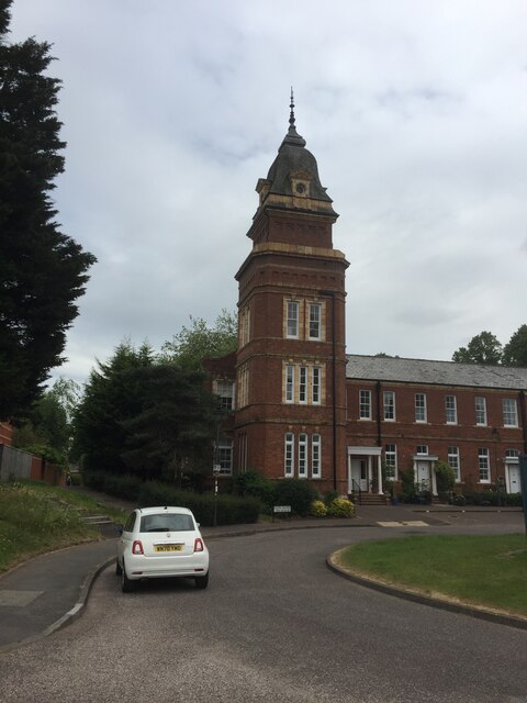
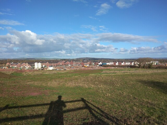
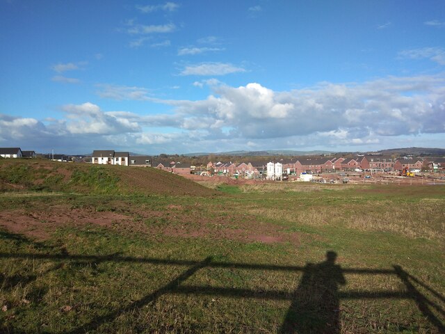
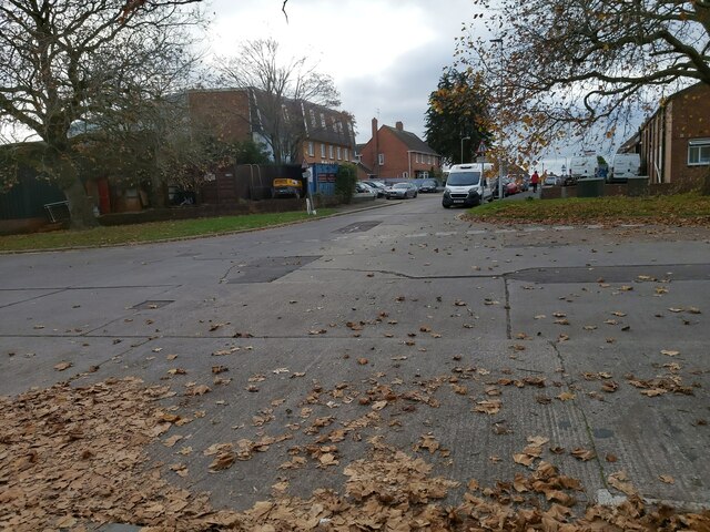
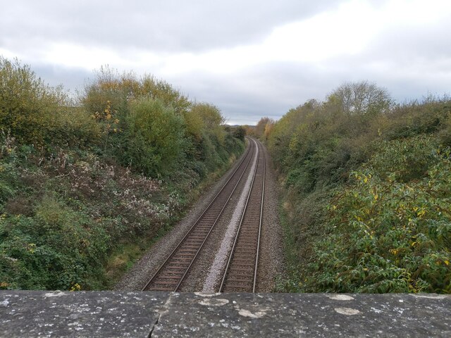
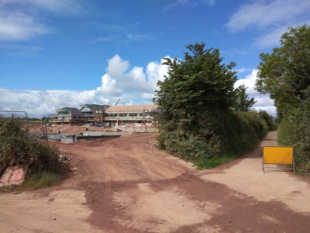
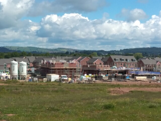
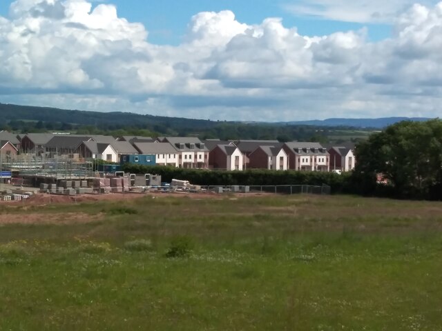
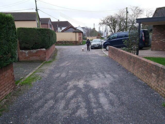
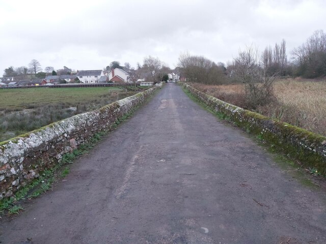
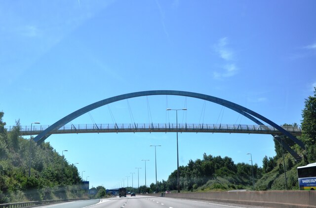
Upper Moor Plantation Images

Images are sourced within 2km of 50.725988/-3.4654359 or Grid Reference SX9692. Thanks to Geograph Open Source API. All images are credited.

Housing estate, Digby, Exeter
Former Digby Hospital now residential flats
Housing development at Tithe Barn, Pinhoe
The west end of housing development at Tithe Barn, Pinhoe In the foreground is a spoil heap from landscaping the farmland.  Together with <a href="https://www.geograph.org.uk/photo/7061830">SX9793 : Housing development at Tithe Barn, Pinhoe</a> and  <a href="https://www.geograph.org.uk/photo/7061836">SX9793 : Housing development at Tithe Barn, Pinhoe and Lidl warehouse</a> this gives a panorama of the construction site
The west end of housing development at Tithe Barn, Pinhoe
In the foreground is a spoil heap from landscaping the farmland. Together with SX9793 : Housing development at Tithe Barn, Pinhoe and SX9793 : Housing development at Tithe Barn, Pinhoe and Lidl warehouse this gives a panorama of the construction site
Housing development at Tithe Barn, Pinhoe and Lidl warehouse
Home Furnishings Retailers in Exeter A view of the front of Dunelm home furnishings retailers in the Sowton retail area of Exeter in Devon as viewed from the large carpark.
Home Furnishings Retailers in Exeter
A view of the front of Dunelm home furnishings retailers in the Sowton retail area of Exeter in Devon as viewed from the large carpark.
Road Junction in Exeter A view of the road junction between Avocet Road and Moor Lane near the Sowton Retail Park in Exeter, Devon.
Road Junction in Exeter
A view of the road junction between Avocet Road and Moor Lane near the Sowton Retail Park in Exeter, Devon.
The Pinhoe Hoard Pub The Pinhoe Hoard Pub is a Marstons pub and is situated in the Whipton part of Exeter in Devon.
The Pinhoe Hoard Pub
The Pinhoe Hoard Pub is a Marstons pub and is situated in the Whipton part of Exeter in Devon.
Cycle Path A cyclepath running alongside the railway just north of the Pinhoe Trading Estate in Exeter, Devon.
Cycle Path
A cyclepath running alongside the railway just north of the Pinhoe Trading Estate in Exeter, Devon.
B&Q Retail Store in Exeter B&Q retail store front in the Sowton Industrial Park in Exeter in Devon as seen from the large car park.
B&Q Retail Store in Exeter
B&Q retail store front in the Sowton Industrial Park in Exeter in Devon as seen from the large car park.
Road Junction in Whipton The road junction between Summerway and Exhibition Way on the Pinhoe Industrial Estate in Whipton, a suburb of Exeter in Devon.
Road Junction in Whipton
The road junction between Summerway and Exhibition Way on the Pinhoe Industrial Estate in Whipton, a suburb of Exeter in Devon.
Railway from a Footbridge A view of the railway line, looking towards Exeter, from the footbridge between the Pinhoe Industrial Estate and a small area of park land near the Exeter Arena.
Railway from a Footbridge
A view of the railway line, looking towards Exeter, from the footbridge between the Pinhoe Industrial Estate and a small area of park land near the Exeter Arena.
Housing development by Tithebarn Lane The cycle track on the right is Tithebarn Lane
Housing development by Tithebarn Lane
The cycle track on the right is Tithebarn Lane
New houses and construction at Tithe Barn  Taken from the same spot as <a href="https://www.geograph.org.uk/photo/7061832">SX9793 : The west end of housing development at Tithe Barn, Pinhoe</a>
New houses and construction at Tithe Barn
New houses at Tithe Barn The same view as <a href="https://www.geograph.org.uk/photo/7061830">SX9793 : Housing development at Tithe Barn, Pinhoe</a>, with further development
New houses at Tithe Barn
The same view as SX9793 : Housing development at Tithe Barn, Pinhoe, with further development
Housing Estate A gravel road on a housing estate in Bishop's Clyst on the east side of Exeter in Devon.
Housing Estate
A gravel road on a housing estate in Bishop's Clyst on the east side of Exeter in Devon.
Old Country Lane A view along an old raised country lane looking towards Clyst St Mary in Devon. The lane runs parallel with the A376.
Old Country Lane
A view along an old raised country lane looking towards Clyst St Mary in Devon. The lane runs parallel with the A376.
M5 Redhayes Bridge The Redhayes Bridge over the M5 at Junction 29 is of a double bowstring girder construction, the first in the UK to be built to the new Eurocodes Standards, opening in October 2011.  It is for pedestrian use to connect building developments either side of the motorway.
M5 Redhayes Bridge
The Redhayes Bridge over the M5 at Junction 29 is of a double bowstring girder construction, the first in the UK to be built to the new Eurocodes Standards, opening in October 2011. It is for pedestrian use to connect building developments either side of the motorway.
Show me another place!

Upper Moor Plantation is located at Grid Ref: SX9692 (Lat: 50.725988, Lng: -3.4654359)

Administrative County: Devon

District: Exeter

Police Authority: Devon and Cornwall

What 3 Words

///atom.affair.snack. Near Heavitree, Devon

Related Wikis

Met Office

The Meteorological Office, abbreviated as the Met Office, is the United Kingdom's national weather service. It is an executive agency and trading fund...

Heavitree isolation hospital

The Heavitree isolation hospital, also for a time known as the Exeter Corporation Tuberculosis Sanatorium, was a small pulmonary tuberculosis sanatorium...

Exeter Science Park

Exeter Science Park is an English centre of activity for businesses in science, technology, engineering, maths and medicine (STEMM).Exeter Science Park...

Sowton

Sowton is a village and civil parish east of Exeter in East Devon, England. It has a population of 639.Its parish council merged with that of nearby Clyst...

Exeter services

Exeter services is a motorway service station on the M5 motorway in Devon, England. It is situated at junction 30 of the motorway, east of the city of...

Monkerton

Monkerton is a small hamlet in the village of Pinhoe in the county of Devon. Pinhoe Railway Station is situated there. Monkerton is set to expand hugely...

Monkerton railway station

Monkerton is a proposed railway station in the hamlet of Monkerton, in Exeter, Devon, England, and is proposed as part of the "Devon Metro" plans. It would...

St Luke's Church of England School

St Luke's Church of England School is a co-educational secondary school located in Exeter in the English county of Devon. It is a Church of England school...

Nearby Amenities

Located within 500m of 50.725988,-3.4654359
Motorway Junction
Sowton Interchange
Layer: 3
Ref: 29
Lat/Long: 50.7248819/-3.4624565
Crossing
Button Operated: yes
Crossing: traffic_signals
Crossing Island: no
Crossing Markings: dots
Tactile Paving: yes
Lat/Long: 50.7275617/-3.4672099
Crossing
Button Operated: yes
Crossing: traffic_signals
Crossing Island: no
Crossing Markings: dots
Tactile Paving: yes
Lat/Long: 50.727491/-3.4670391
Traffic Signals
Traffic Signals: signal
Lat/Long: 50.7260635/-3.4694798
Crossing
Bicycle: yes
Crossing: traffic_signals
Crossing Ref: toucan
Segregated: no
Lat/Long: 50.7272242/-3.4699785
Barrier: cycle_barrier
Lat/Long: 50.7230946/-3.467624
Crossing
Crossing Island: yes
Kerb: lowered
Tactile Paving: yes
Lat/Long: 50.7276375/-3.4698146
Crossing
Crossing: uncontrolled
Crossing Island: yes
Lat/Long: 50.7275924/-3.4705772
Traffic Signals
Traffic Signals: signal
Traffic Signals Direction: forward
Lat/Long: 50.7284028/-3.4651788
Traffic Signals
Traffic Signals: signal
Lat/Long: 50.7261595/-3.4701248
Crossing
Bicycle: yes
Crossing: traffic_signals
Crossing Ref: toucan
Segregated: no
Lat/Long: 50.7250852/-3.4717325
Traffic Signals
Lat/Long: 50.7225392/-3.4672109
Crossing
Crossing: traffic_signals
Lat/Long: 50.7288087/-3.4608173
Crossing
Crossing: traffic_signals
Lat/Long: 50.7285514/-3.465208
Mini Roundabout
Lat/Long: 50.7251793/-3.4699817
Barrier: kerb
Kerb: lowered
Tactile Paving: yes
Lat/Long: 50.7261088/-3.4688965
Bus Stop
Honiton Road P&R
Bus: yes
Naptan AtcoCode: 1100DEC10843
Naptan BusStopType: MKD
Naptan NaptanCode: dvndpwtp
Naptan StopType: BCT
Naptan TimingStatus: OTH
Public Transport: platform
Shelter: yes
Tactile Paving: no
Lat/Long: 50.7254075/-3.4707125
Bus Stop
Miller & Carter
Bus: yes
Naptan AtcoCode: 1100DEC10842
Naptan BusStopType: MKD
Naptan NaptanCode: dvndpwtm
Naptan StopType: BCT
Naptan TimingStatus: OTH
Public Transport: platform
Shelter: yes
Tactile Paving: no
Lat/Long: 50.7249538/-3.4721539
Bus Stop
Bus: yes
Public Transport: platform
Lat/Long: 50.7224594/-3.4695013
Bus Stop
Emperor Way
Bus: yes
Naptan AtcoCode: 1100DEA09036
Naptan BusStopType: MKD
Naptan NaptanCode: dvngjdgj
Naptan StopType: BCT
Naptan TimingStatus: OTH
Public Transport: platform
Shelter: no
Lat/Long: 50.7275065/-3.4710332
Bus Stop
Emperor Way
Bus: yes
Naptan AtcoCode: 1100DEA09035
Naptan BusStopType: MKD
Naptan NaptanCode: dvngjdgd
Naptan StopType: BCT
Naptan TimingStatus: OTH
Public Transport: platform
Shelter: no
Lat/Long: 50.7276051/-3.4708664
Bus Stop
Ambassador Drive
Bus: yes
Naptan AtcoCode: 1100DEZ05286
Naptan BusStopType: MKD
Naptan NaptanCode: dvngdpmw
Naptan StopType: BCT
Naptan TimingStatus: OTH
Public Transport: platform
Shelter: no
Tactile Paving: no
Lat/Long: 50.7273437/-3.4702439
Design: barrel
Line Attachment: anchor
Power: tower
Lat/Long: 50.7227725/-3.46389
Power: tower
Lat/Long: 50.7243992/-3.4649521
Design: barrel
Line Management: termination
Power: tower
Lat/Long: 50.7260317/-3.4658164
Power: tower
Lat/Long: 50.7223893/-3.4616868
Traffic Signals
Lat/Long: 50.7247149/-3.4678615
Crossing
Crossing: uncontrolled
Crossing Island: yes
Lat/Long: 50.725294/-3.4715638
Traffic Signals
Traffic Signals: signal
Lat/Long: 50.7261629/-3.4699877
Crossing
Crossing: traffic_signals
Traffic Signals: junction
Lat/Long: 50.7291385/-3.4619219
Barrier: kerb
Kerb: lowered
Tactile Paving: yes
Lat/Long: 50.7252023/-3.4717087
Traffic Signals
Traffic Signals: signal
Traffic Signals Direction: forward
Lat/Long: 50.72839/-3.464749
Bus Stop
EDF Energy
Bus: yes
Naptan AtcoCode: 1100DEA05876
Naptan BusStopType: MKD
Naptan NaptanCode: dvngmdaj
Naptan StopType: BCT
Naptan TimingStatus: OTH
Operator: Stagecoach
Public Transport: platform
Shelter: yes
Lat/Long: 50.7290106/-3.4666084
Barrier: kerb
Kerb: lowered
Tactile Paving: yes
Lat/Long: 50.7272208/-3.4699098
Bus Stop
Grenadier Road
Bus: yes
Naptan AtcoCode: 1100DEZ05313
Naptan BusStopType: MKD
Naptan NaptanCode: dvngdtgd
Naptan StopType: BCT
Naptan TimingStatus: OTH
Public Transport: platform
Shelter: no
Lat/Long: 50.7281951/-3.4680475
Bus Stop
Grenadier Road
Bus: yes
Naptan AtcoCode: 1100DEZ05312
Naptan BusStopType: MKD
Naptan NaptanCode: dvngdtga
Naptan StopType: BCT
Naptan TimingStatus: OTH
Public Transport: platform
Shelter: no
Lat/Long: 50.7280627/-3.4681682
Post Box
Brand: Royal Mail
Brand Wikidata: Q638098
Brand Wikipedia: en:Royal Mail
Collection Times: Mo-Fr 17:15; Sa 13:00; Su off
Drive Through: no
Operator: Royal Mail
Operator Wikidata: Q638098
Post Box Apertures: 2
Post Box Design: type_c
Post Box Type: pillar
Ref: EX1 606;EX1 6060
Royal Cypher: EIIR
Royal Cypher Wikidata: Q33102113
Source: survey;streetlevel imagery;aerial imagery
Lat/Long: 50.7282053/-3.4702158
Bus Stop
Cumberland Way
Bus: yes
Naptan AtcoCode: 1100DEZ05314
Naptan BusStopType: MKD
Naptan NaptanCode: dvngdtgj
Naptan StopType: BCT
Naptan TimingStatus: OTH
Public Transport: platform
Lat/Long: 50.7288099/-3.4703622
Bus Stop
Osprey House
Bus: yes
Naptan AtcoCode: 1100DEC10460
Naptan BusStopType: MKD
Naptan NaptanCode: dvndtdgt
Naptan StopType: BCT
Naptan TimingStatus: OTH
Public Transport: platform
Wheelchair: yes
Lat/Long: 50.7226893/-3.4659123
Bus Stop
Homebase
Bus: yes
Naptan AtcoCode: 1100DEC10461
Naptan BusStopType: MKD
Naptan NaptanCode: dvndtdgj
Naptan StopType: BCT
Naptan TimingStatus: OTH
Public Transport: platform
Lat/Long: 50.722737/-3.4663074
Bus Stop
Osprey Road
Bus: yes
Naptan AtcoCode: 1100DEC10462
Naptan BusStopType: MKD
Naptan NaptanCode: dvndtdtm
Naptan StopType: BCT
Naptan TimingStatus: OTH
Public Transport: platform
Lat/Long: 50.7235519/-3.4638792
Bus Stop
Osprey Road
Bus: yes
Naptan AtcoCode: 1100DEC10463
Naptan BusStopType: MKD
Naptan NaptanCode: dvndtdtg
Naptan StopType: BCT
Naptan TimingStatus: OTH
Public Transport: platform
Lat/Long: 50.7235383/-3.4640616
Bus Stop
Royal Mail Centre
Bus: yes
Naptan AtcoCode: 1100DEC10464
Naptan BusStopType: MKD
Naptan NaptanCode: dvndtdpg
Naptan StopType: BCT
Naptan TimingStatus: OTH
Public Transport: platform
Lat/Long: 50.7247059/-3.4642951
Bus Stop
Royal Mail Centre
Bus: yes
Naptan AtcoCode: 1100DEC10465
Naptan BusStopType: MKD
Naptan NaptanCode: dvndtdmj
Naptan StopType: BCT
Naptan TimingStatus: OTH
Public Transport: platform
Lat/Long: 50.7246804/-3.4644319
Bus Stop
Avocet Road
Bus: yes
Naptan AtcoCode: 1100DEC10467
Naptan BusStopType: MKD
Naptan NaptanCode: dvndtdaj
Naptan StopType: BCT
Naptan TimingStatus: OTH
Public Transport: platform
Lat/Long: 50.7249862/-3.4671054
Bus Stop
Avocet Road
Bus: yes
Naptan AtcoCode: 1100DEC10466
Naptan BusStopType: MKD
Naptan NaptanCode: dvndtawp
Naptan StopType: BCT
Naptan TimingStatus: OTH
Public Transport: platform
Lat/Long: 50.7250506/-3.4663898
Post Box
Ref: EX2 888
Royal Cypher: EIIR
Royal Cypher Wikidata: Q33102113
Lat/Long: 50.7254037/-3.4642254
Post Box
Ref: EX2 9
Royal Cypher: EIIR
Royal Cypher Wikidata: Q33102113
Lat/Long: 50.7252815/-3.4643326
Barrier: cycle_barrier
Lat/Long: 50.7227737/-3.4696789
Crossing
Crossing: traffic_signals
Lat/Long: 50.7285902/-3.4650014
Traffic Signals
Traffic Signals: signal
Traffic Signals Direction: forward
Lat/Long: 50.7287427/-3.4647787
Traffic Signals
Traffic Signals: signal
Lat/Long: 50.7259666/-3.4692978
Traffic Signals
Traffic Signals: signal
Lat/Long: 50.7264146/-3.4693563
Traffic Signals
Traffic Signals: signal
Lat/Long: 50.7264344/-3.4692177
Traffic Signals
Traffic Signals: signal
Lat/Long: 50.7265327/-3.4696887
Traffic Signals
Traffic Signals: signal
Lat/Long: 50.7266423/-3.4696998
Traffic Signals
Traffic Signals: signal
Traffic Signals Direction: forward
Lat/Long: 50.7284613/-3.4652612
Traffic Signals
Traffic Signals: signal
Traffic Signals Direction: forward
Lat/Long: 50.7289538/-3.4621033
Crossing
Crossing: uncontrolled
Crossing Island: yes
Lat/Long: 50.7252451/-3.4716456
Barrier: kerb
Kerb: lowered
Tactile Paving: yes
Lat/Long: 50.729128/-3.4620363
Crossing
Crossing: traffic_signals
Tactile Paving: yes
Lat/Long: 50.7286951/-3.4647219
Crossing
Crossing: traffic_signals
Traffic Signals: junction
Lat/Long: 50.7291622/-3.4616996
Crossing
Crossing Island: yes
Kerb: lowered
Tactile Paving: yes
Lat/Long: 50.7276825/-3.469817
Crossing
Crossing: zebra
Lat/Long: 50.7292594/-3.4696037
Charging Station
Operator: EDF
Lat/Long: 50.7291015/-3.4668671
Crossing
Crossing: traffic_signals
Lat/Long: 50.7288252/-3.4617848
Crossing
Crossing: traffic_signals
Lat/Long: 50.7289995/-3.4617249
Noexit: yes
Lat/Long: 50.7257206/-3.4699323
Noexit: yes
Lat/Long: 50.7256628/-3.4701335
Noexit: yes
Lat/Long: 50.7257613/-3.4697151
Historic: boundary_stone
Lat/Long: 50.7275932/-3.4672596
Barrier: kerb
Kerb: lowered
Tactile Paving: yes
Lat/Long: 50.7248056/-3.4677336
Crossing
Bicycle: yes
Crossing: unmarked
Crossing Island: no
Crossing Markings: no
Lat/Long: 50.7247472/-3.4677113
Barrier: kerb
Kerb: lowered
Tactile Paving: yes
Lat/Long: 50.7271475/-3.4701982
Crossing
Bicycle: yes
Crossing: traffic_signals
Crossing Ref: toucan
Segregated: no
Lat/Long: 50.7271565/-3.4701292
Postal Code: EX2 7JG
Lat/Long: 50.7244163/-3.4647658
Material: wood
Power: pole
Lat/Long: 50.7273362/-3.4609181
Material: wood
Power: pole
Lat/Long: 50.7274316/-3.4594263
Information: map
Tourism: information
Lat/Long: 50.7255119/-3.4708197
Bank
HSBC UK
Addr City: Exeter
Addr Housename: Stratus House
Addr Postcode: EX1 3QS
Addr Street: Emperor Way
Atm: yes
Brand: HSBC UK
Brand Wikidata: Q64767453
Drive Through: no
Opening Hours: Mo-Fr 09:30-15:30
Lat/Long: 50.7267125/-3.4722508
Noexit: yes
Lat/Long: 50.7279563/-3.4705011
Goodridge
Man Made: works
Lat/Long: 50.728279/-3.4694149
Traffic Signals
Traffic Signals: signal
Lat/Long: 50.7253586/-3.4710888
Traffic Signals
Traffic Signals: signal
Lat/Long: 50.7254656/-3.4710891
Bicycle Parking
Lat/Long: 50.7281137/-3.4689253
Barrier: lift_gate
Lat/Long: 50.7271717/-3.4714449
Barrier: lift_gate
Lat/Long: 50.7271905/-3.4712196
Barrier: lift_gate
Lat/Long: 50.7272629/-3.471234
Barrier: lift_gate
Lat/Long: 50.7272476/-3.4714614
Bus Stop
Cumberland Way
Bus: yes
Naptan AtcoCode: 1100DEA05842
Naptan BusStopType: MKD
Naptan NaptanCode: dvngmajm
Naptan StopType: BCT
Naptan TimingStatus: OTH
Public Transport: platform
Lat/Long: 50.728808/-3.4704685
Traffic Signals
Traffic Signals: signal
Lat/Long: 50.7267191/-3.4696665
Addr City: Exeter
Addr Housename: Western Power Depot
Addr Postcode: EX2 7JF
Addr Street: Moor Lane
Lat/Long: 50.7261385/-3.4675722
Bus Stop
Ambassador Drive
Bus: yes
Naptan AtcoCode: 1100DEZ05287
Naptan BusStopType: CUS
Naptan NaptanCode: dvngdpta
Naptan StopType: BCT
Naptan TimingStatus: OTH
Public Transport: platform
Lat/Long: 50.727282/-3.4699536
Addr City: Exeter
Addr Postcode: EX2 7JD
Addr Street: Avocet Road
Lat/Long: 50.7248077/-3.4658267
Barrier: kerb
Kerb: lowered
Tactile Paving: yes
Lat/Long: 50.7291955/-3.4616197
Wolseley
Addr City: Exeter
Addr Housename: Unit 1-3
Addr Postcode: EX2 7PJ
Addr Street: Sanderling Court
Brand: Wolseley
Brand Wikidata: Q8030423
Shop: trade
Trade: plumbing
Website: https://www.wolseley.co.uk/branch/exeter/
Lat/Long: 50.7230542/-3.465165
Traffic Signals
Traffic Signals: signal
Traffic Signals Direction: forward
Lat/Long: 50.7286556/-3.4650129
Barrier: kerb
Kerb: lowered
Tactile Paving: yes
Lat/Long: 50.7287534/-3.4617487
Barrier: kerb
Kerb: lowered
Tactile Paving: yes
Lat/Long: 50.7253948/-3.4709434
Crossing
Crossing: unmarked
Crossing Island: no
Crossing Markings: no
Segregated: no
Lat/Long: 50.7253557/-3.4710359
Barrier: kerb
Kerb: lowered
Tactile Paving: yes
Lat/Long: 50.7250446/-3.4716656
Barrier: kerb
Kerb: lowered
Tactile Paving: yes
Lat/Long: 50.7287366/-3.4646107
Barrier: kerb
Kerb: lowered
Tactile Paving: yes
Lat/Long: 50.7285439/-3.4653322
Cafe
Caffe Pausa
Addr City: Exeter
Addr Housenumber: 1
Addr Postcode: EX2 7JF
Addr Street: Avocet Road
Fhrs Id: 219050
Operator: Dunelm
Source Addr: FHRS Open Dta
Lat/Long: 50.7237518/-3.4668408
Crossing
Crossing: uncontrolled
Crossing Ref: zebra
Lat/Long: 50.7272604/-3.4638768
Noexit: yes
Lat/Long: 50.7267018/-3.4636344
Bicycle Parking
Access: yes
Bicycle Parking: stands
Capacity: 6
Covered: no
Indoor: no
Lat/Long: 50.7253454/-3.470711
Barrier: kerb
Kerb: lowered
Tactile Paving: yes
Lat/Long: 50.7224989/-3.4670307
Crossing
Bicycle: yes
Crossing: unmarked
Crossing Markings: no
Lat/Long: 50.722564/-3.4670711
Barrier: kerb
Kerb: lowered
Tactile Paving: yes
Lat/Long: 50.7226394/-3.4671113
Barrier: kerb
Kerb: lowered
Tactile Paving: yes
Lat/Long: 50.7246923/-3.467692
Barrier: kerb
Kerb: lowered
Tactile Paving: yes
Lat/Long: 50.7253277/-3.4710728
Barrier: kerb
Kerb: lowered
Tactile Paving: yes
Lat/Long: 50.7253303/-3.4714933
Barrier: kerb
Kerb: lowered
Tactile Paving: yes
Lat/Long: 50.7251155/-3.4717863
Barrier: kerb
Kerb: flush
Tactile Paving: yes
Lat/Long: 50.7261164/-3.4688339
Building: yes
Lat/Long: 50.7286144/-3.467286
Traffic Signals
Traffic Signals: signal
Lat/Long: 50.7261108/-3.4690234
Traffic Signals
Traffic Signals: signal
Lat/Long: 50.7261488/-3.4688771
Traffic Signals
Traffic Signals: crossing
Lat/Long: 50.7275482/-3.4672533
Traffic Signals
Traffic Signals: crossing
Lat/Long: 50.7275174/-3.4669699
Traffic Signals
Traffic Signals: signal
Traffic Signals Direction: forward
Lat/Long: 50.7288356/-3.4616869
Traffic Signals
Traffic Signals: signal
Traffic Signals Direction: forward
Lat/Long: 50.7292023/-3.4619193
Traffic Signals
Traffic Signals: signal
Traffic Signals Direction: forward
Lat/Long: 50.7291913/-3.4617315
Furniture Village
Addr City: Exeter
Addr Postcode: EX2 7JA
Addr Street: Moor Lane
Brand: Furniture Village
Brand Wikidata: Q5509685
Brand Wikipedia: en:Furniture Village
Contact Website: https://www.furniturevillage.co.uk/stores/exeter.html
Shop: furniture
Lat/Long: 50.72421/-3.4667632
Entrance: yes
Lat/Long: 50.7242071/-3.4668811
Dunelm
Addr City: Exeter
Addr Housenumber: 1
Addr Postcode: EX2 7JF
Addr Street: Avocet Road
Brand: Dunelm
Brand Wikidata: Q5315020
Brand Wikipedia: en:Dunelm Group
Shop: interior_decoration
Source Addr: FHRS Open Dta
Website: https://www.dunelm.com/stores/exeter
Lat/Long: 50.7239214/-3.4671052
Entrance: yes
Lat/Long: 50.7239928/-3.4671347
Traffic Signals
Traffic Signals: crossing
Traffic Signals Direction: forward
Lat/Long: 50.7288209/-3.460719
The data included in this document is from www.openstreetmap.org. The data is made available under ODbL.

Have you been to Upper Moor Plantation?

Leave your review of Upper Moor Plantation below (or comments, questions and feedback).